South Lebanon is a census-designated place (CDP) in Linn County, Oregon, United States, comprising unincorporated land on the south side of the city of Lebanon. The population was 1,005 at the 2010 census. The population and area of the CDP decreased between 2000 and 2010 as the city limits of Lebanon expanded southward.
| Name: | South Lebanon CDP |
|---|---|
| LSAD Code: | 57 |
| LSAD Description: | CDP (suffix) |
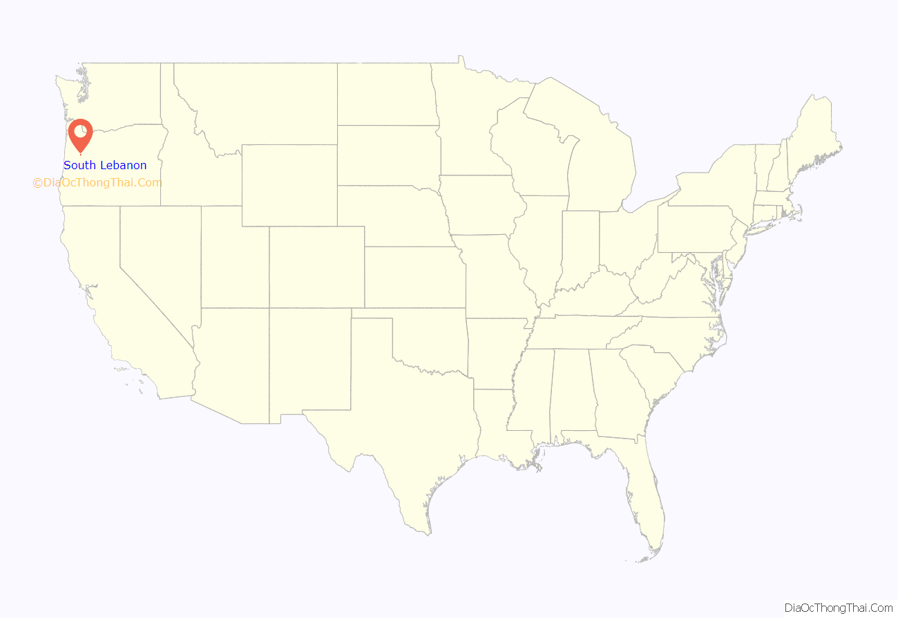
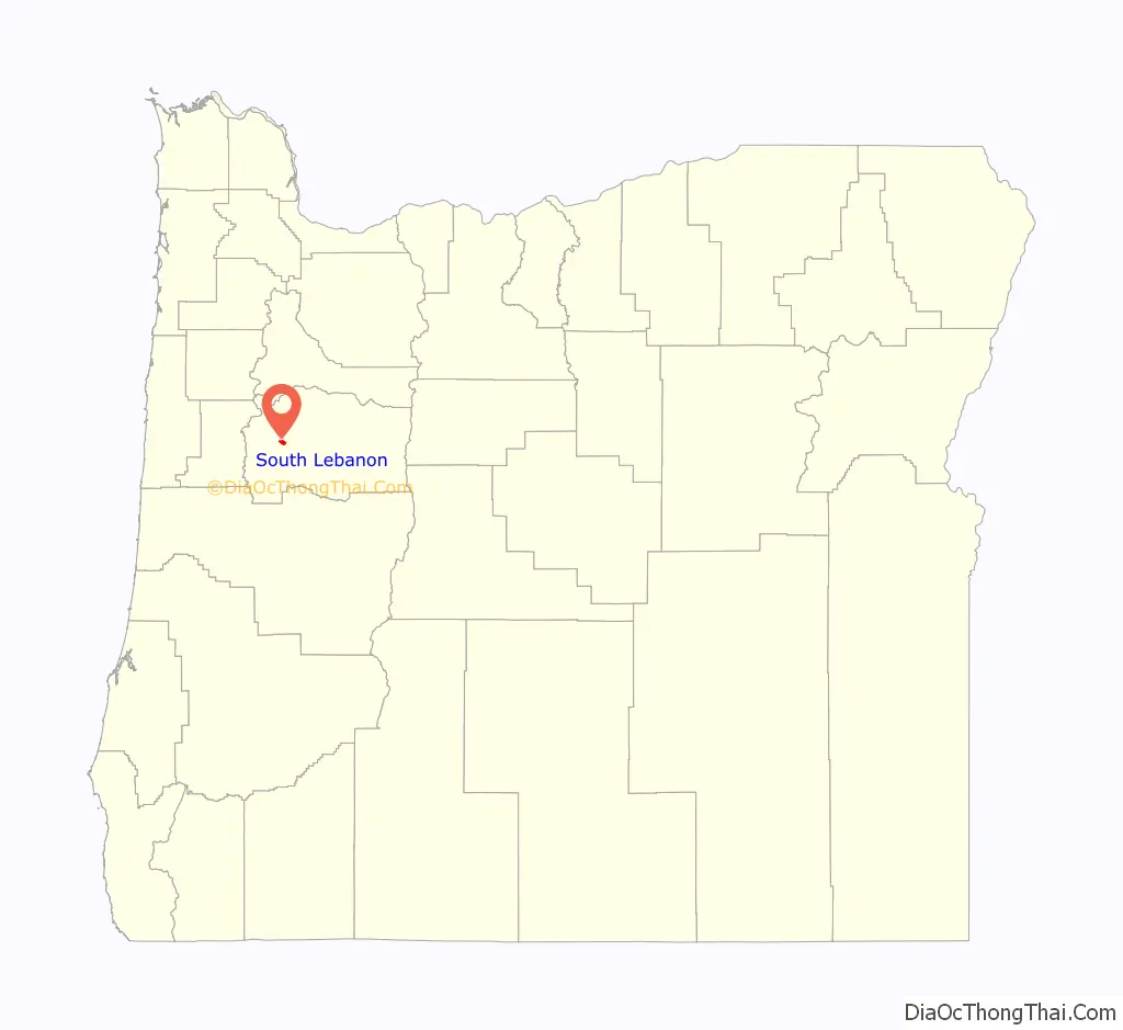
| State: | Oregon |
| County: | Linn County |
| Elevation: | 374 ft (114 m) |
| Total Area: | 1.18 sq mi (3.05 km²) |
| Land Area: | 1.18 sq mi (3.05 km²) |
| Water Area: | 0.00 sq mi (0.00 km²) |
| Total Population: | 1,228 |
| Population Density: | 1,043.33/sq mi (402.95/km²) |
| FIPS code: | 4168875 |
| GNISfeature ID: | 1867480 |
Online Interactive Map
Click on ![]() to view map in "full screen" mode.
to view map in "full screen" mode.
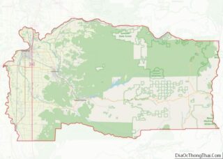
South Lebanon location map. Where is South Lebanon CDP?
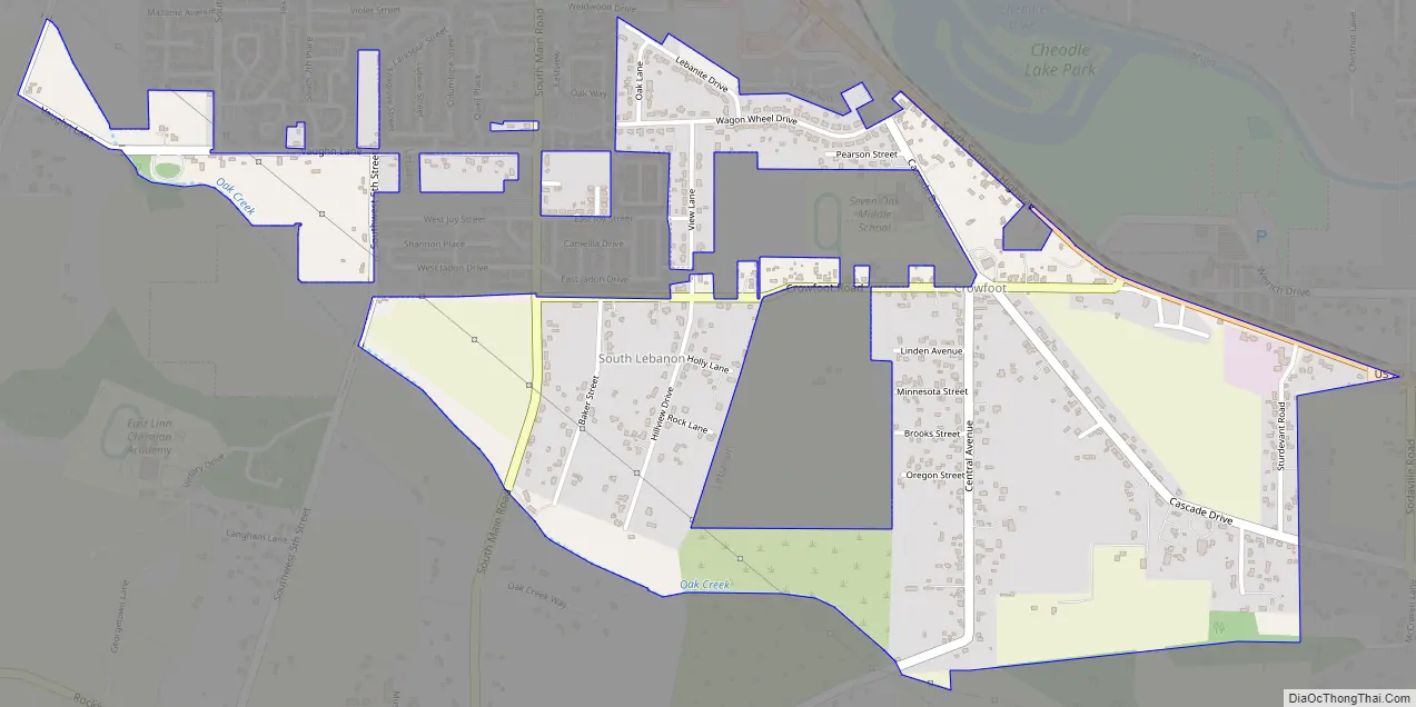
South Lebanon Road Map
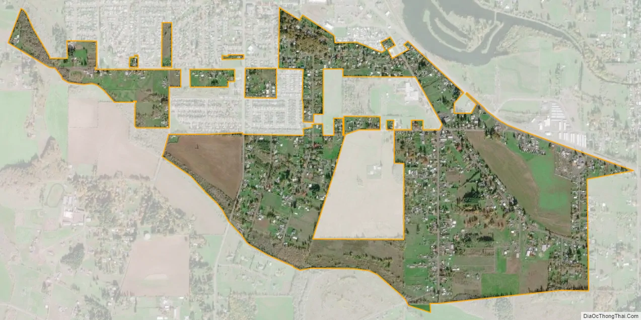
South Lebanon city Satellite Map
Geography
South Lebanon is located at 44°30′34″N 122°54′15″W / 44.50944°N 122.90417°W / 44.50944; -122.90417 (44.509404, -122.904199). The elevation is 374 feet (114 m) above sea level. U.S. Route 20 runs along the northeast edge of the CDP, leading north into Lebanon and southeast 11 miles (18 km) to Sweet Home.
According to the United States Census Bureau, the CDP has a total area of 1.2 square miles (3.1 km), all land.
See also
Map of Oregon State and its subdivision: Map of other states:- Alabama
- Alaska
- Arizona
- Arkansas
- California
- Colorado
- Connecticut
- Delaware
- District of Columbia
- Florida
- Georgia
- Hawaii
- Idaho
- Illinois
- Indiana
- Iowa
- Kansas
- Kentucky
- Louisiana
- Maine
- Maryland
- Massachusetts
- Michigan
- Minnesota
- Mississippi
- Missouri
- Montana
- Nebraska
- Nevada
- New Hampshire
- New Jersey
- New Mexico
- New York
- North Carolina
- North Dakota
- Ohio
- Oklahoma
- Oregon
- Pennsylvania
- Rhode Island
- South Carolina
- South Dakota
- Tennessee
- Texas
- Utah
- Vermont
- Virginia
- Washington
- West Virginia
- Wisconsin
- Wyoming