Vernonia is a city in Columbia County, Oregon, United States. It is located on the Nehalem River, in a valley on the eastern side of the Northern Oregon Coast Range that is the heart of one of the most important timber-producing areas of the state. Logging has played a large role in the history of the city. The population was 2,151 at the 2010 census.
| Name: | Vernonia city |
|---|---|
| LSAD Code: | 25 |
| LSAD Description: | city (suffix) |
| State: | Oregon |
| County: | Columbia County |
| Incorporated: | 1891 |
| Elevation: | 630 ft (192.0 m) |
| Total Area: | 1.69 sq mi (4.38 km²) |
| Land Area: | 1.64 sq mi (4.25 km²) |
| Water Area: | 0.05 sq mi (0.13 km²) |
| Total Population: | 2,374 |
| Population Density: | 1,444.92/sq mi (558.05/km²) |
| ZIP code: | 97064 |
| Area code: | 503 and 971 |
| FIPS code: | 4177250 |
| GNISfeature ID: | 1128526 |
| Website: | www.vernonia-or.gov |
Online Interactive Map
Click on ![]() to view map in "full screen" mode.
to view map in "full screen" mode.
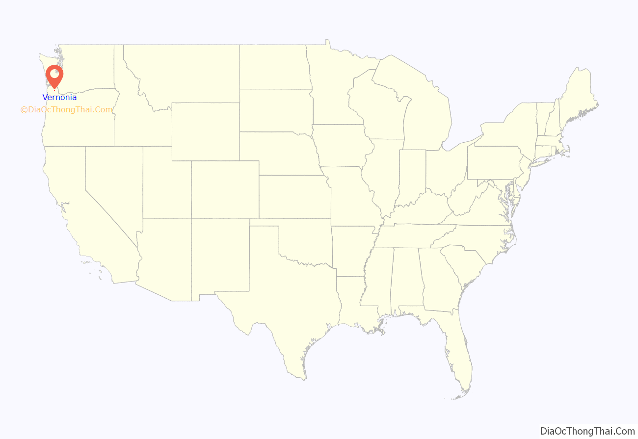
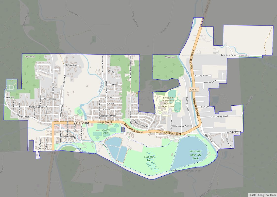
Vernonia location map. Where is Vernonia city?
History
The community was first settled in 1874 by the Parker and Van Blaricom families. Cousins Judson Weed and Ozias Cherrington, both of Ohio, arrived in 1876. Sometime afterwards, the question of a name for the community came up, and Cherrington suggested the name of his daughter (Vernona) in Ohio, which was adopted. Due to a clerical error during the incorporation process, an “i” was inserted into the name. Cherrington died in a farming accident in 1894, never having seen his daughter since his departure from Ohio.
Vernonia started to become more than an isolated farming community on July 10, 1924, when the Oregon-American Lumber Company opened a state-of-the-art lumber mill, which was supported by a railroad line connecting Vernonia to the rest of the country. Oregon-American merged with Long-Bell Lumber Company in May 1953, which itself merged with International Paper in November 1957. International Paper judged the mill antiquated, and closed it on December 20, 1957.
The city has been severely impacted by floods on multiple occasions. The rains that caused the Willamette Valley Flood of 1996 flooded Vernonia as well; some homes in the floodplain were elevated, and some flooring materials were replaced, mitigating some damage from later flooding. In 2007, heavy storms that impacted the Pacific Northwest washed out roads and destroyed homes, cars, and communications infrastructure. Despite preparations in 1996, in some parts of town flood water reached 4 feet (1.2 m) above the 100 year base flood elevation. In the wake of the 2007 flood, Vernonia School District voters approved a $13 million bond in 2009 to build a new K-12 school in Vernonia. The new school opened in fall 2012.
Vernonia Road Map
Vernonia city Satellite Map
Geography
According to the United States Census Bureau, the city has a total area of 1.66 square miles (4.30 km), of which 1.61 square miles (4.17 km) is land and 0.05 square miles (0.13 km) is water.
Climate
This region experiences warm (but not hot) and dry summers, with no average monthly temperatures above 71.6 °F (22.0 °C). According to the Köppen Climate Classification system, Vernonia has a warm-summer Mediterranean climate, abbreviated “Csb” on climate maps.
See also
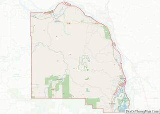
Map of Oregon State and its subdivision: Map of other states:- Alabama
- Alaska
- Arizona
- Arkansas
- California
- Colorado
- Connecticut
- Delaware
- District of Columbia
- Florida
- Georgia
- Hawaii
- Idaho
- Illinois
- Indiana
- Iowa
- Kansas
- Kentucky
- Louisiana
- Maine
- Maryland
- Massachusetts
- Michigan
- Minnesota
- Mississippi
- Missouri
- Montana
- Nebraska
- Nevada
- New Hampshire
- New Jersey
- New Mexico
- New York
- North Carolina
- North Dakota
- Ohio
- Oklahoma
- Oregon
- Pennsylvania
- Rhode Island
- South Carolina
- South Dakota
- Tennessee
- Texas
- Utah
- Vermont
- Virginia
- Washington
- West Virginia
- Wisconsin
- Wyoming
