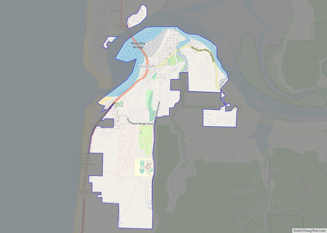
Waldport is a city in Lincoln County, Oregon, United States. The population was 2,033 at the 2010 census. The city is located on the Alsea River and Alsea Bay, 15 miles (24 km) south of Newport and 8 miles (13 km) north of Yachats.
| Name: | Waldport city |
|---|---|
| LSAD Code: | 25 |
| LSAD Description: | city (suffix) |
| State: | Oregon |
| County: | Lincoln County |
| Incorporated: | 1911 |
| Elevation: | 12 ft (3.7 m) |
| Total Area: | 2.94 sq mi (7.62 km²) |
| Land Area: | 2.71 sq mi (7.03 km²) |
| Water Area: | 0.23 sq mi (0.59 km²) |
| Total Population: | 15 |
| Population Density: | 828.36/sq mi (319.82/km²) |
| ZIP code: | 97394 |
| Area code: | 541 |
| FIPS code: | 4178000 |
| GNISfeature ID: | 1151822 |
| Website: | http://www.waldportoregon.gov |
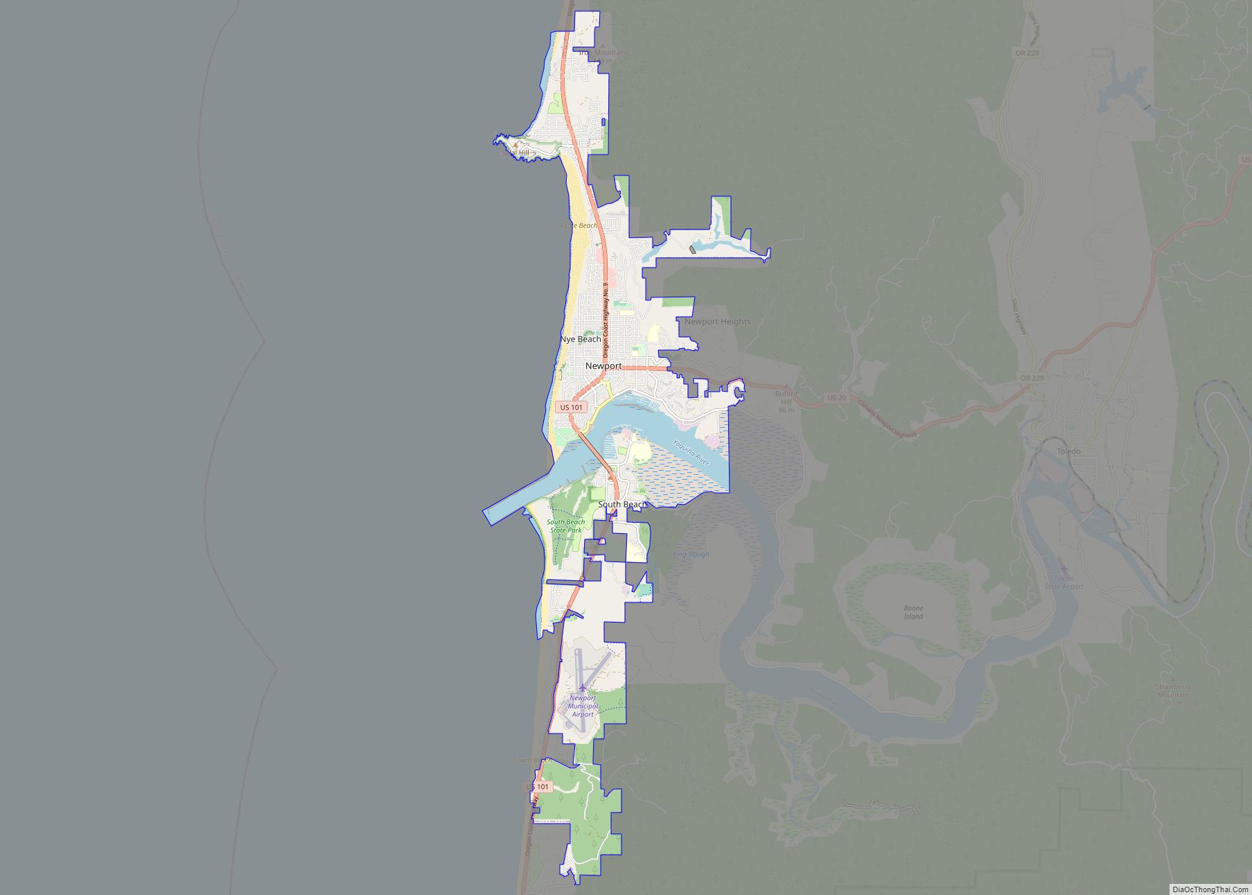
Online Interactive Map
Click on ![]() to view map in "full screen" mode.
to view map in "full screen" mode.
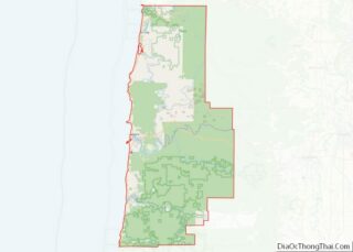
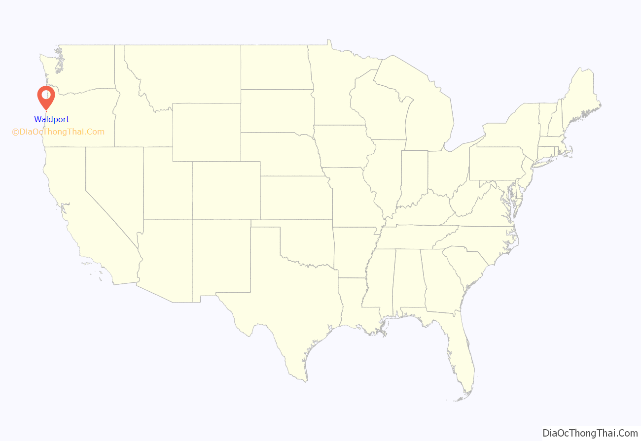
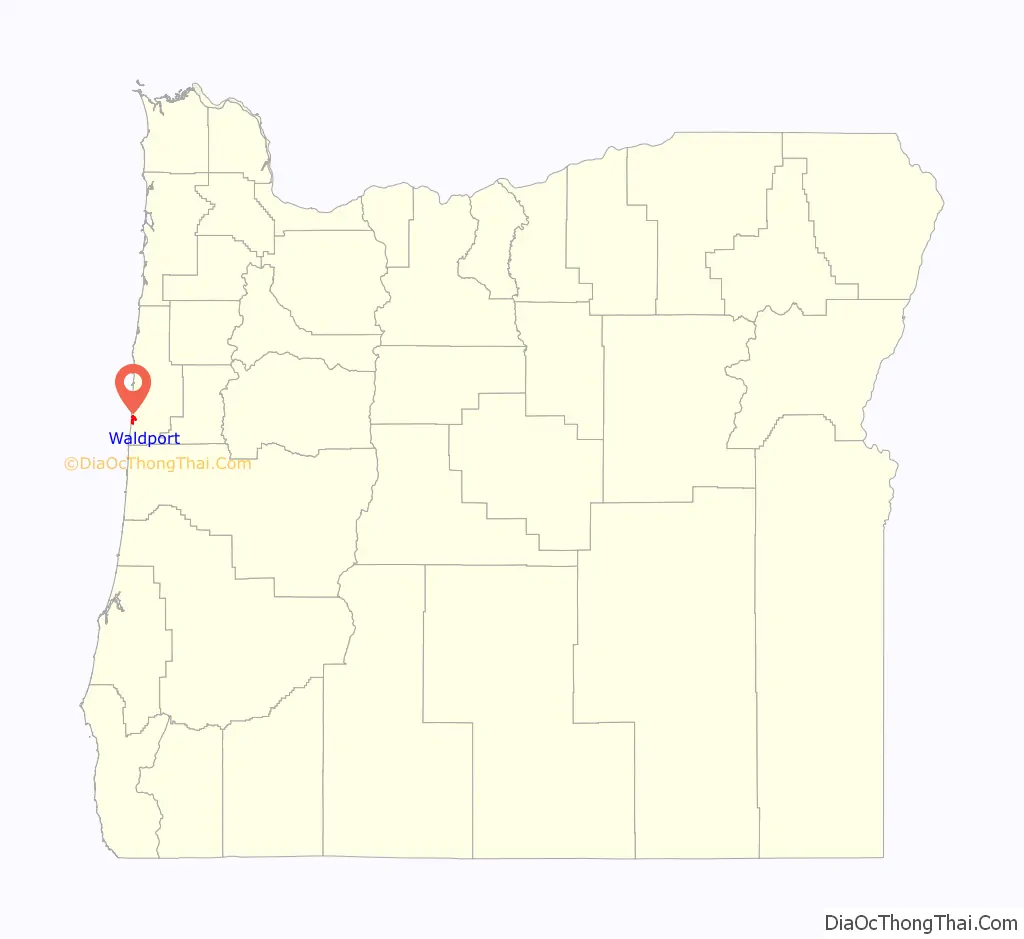
Waldport location map. Where is Waldport city?
History
Settlement of Waldport began in 1879 when David Ruble bought squatter’s rights from Lint Starr for $300 for property including the area now known as “Old Town”. Many early settlers were of German descent, and one of the names proposed for this town was Waldport, “wald” meaning forest or trees, and “port” referring to its proximity to the ocean. It is interesting to note that the town’s name is unique. The plat for the town was recorded on September 9, 1885 and by 1911, when Waldport was incorporated, it boasted a dozen businesses and 150 inhabitants.
The earliest inhabitants of the area were known as the “Alsi” or “Alsea”, a name given to them by the Coos tribe. (Their name for themselves in their own language was “Wusi” or “Wusitslum” .) In 1780 the total number of “Yakonan”, which included tribes from Yaquina Bay to the Siuslaw, was estimated to have numbered upwards of 6000 and the Alsea river and bay was home to numerous small villages. At the time of Lewis and Clark, the numbers had dwindled to about 1000, and by 1910 only 29 remained at the Siletz reservation.
Camp Angel, a Civilian Conservation Corps camp near Waldport, was home to World War II conscientious objectors involved in the arts.
In September 1975, Marshall Applewhite and Bonnie Nettles gave a lecture in Waldport on UFOs which was attended by roughly 150 people. In the following days, an estimated 20 residents, nearly one out of 30 people who lived in the town, abandoned their homes and possessions and joined their group, Heaven’s Gate. An Oregon State Police investigation concluded that no laws had been broken.
In December 2001, Christian Longo murdered his wife and 3 children in Waldport. Longo disposed of their bodies by chaining them to heavy cinder blocks, and submerging them in the Pacific Ocean. At the time, it was said to be the city’s first known homicide. Longo was sentenced to death in 2003. The 2015 film True Story, starring Jonah Hill and James Franco was loosely based on the case.
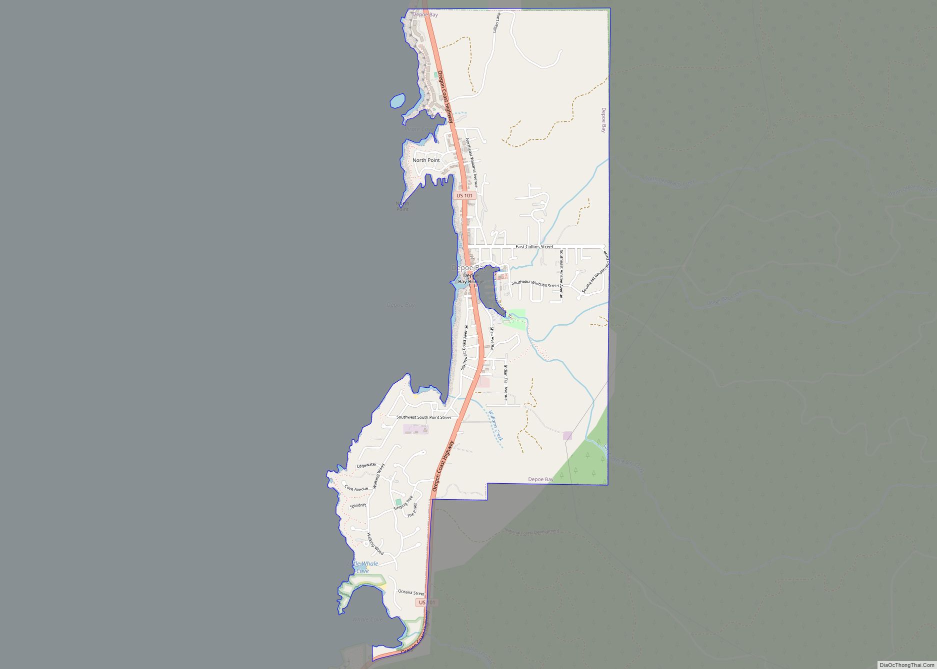
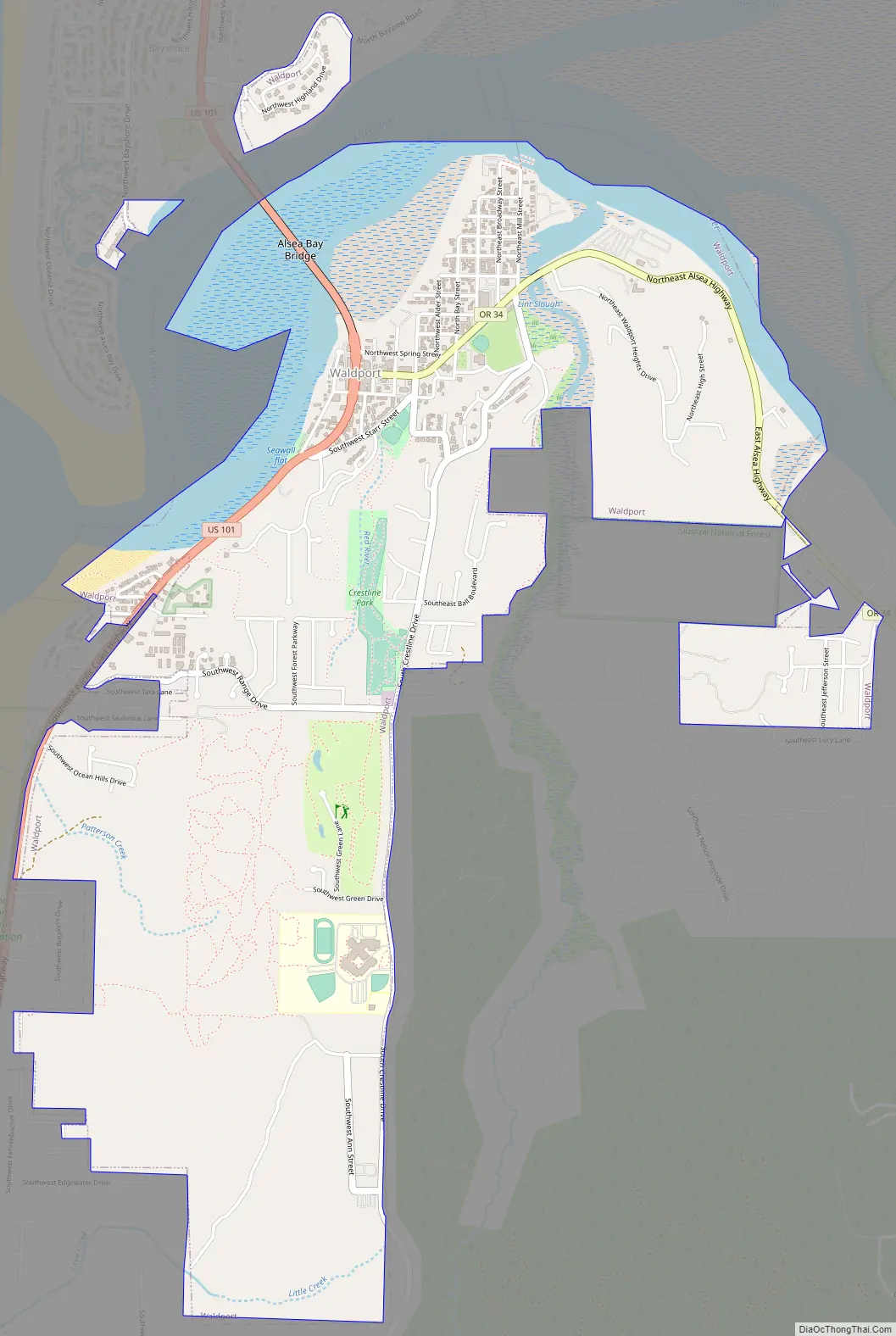
Waldport Road Map
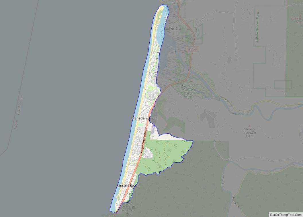
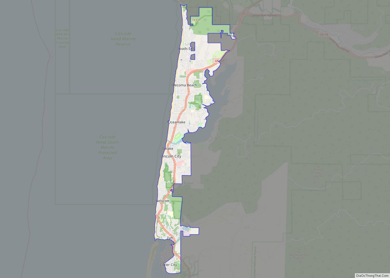
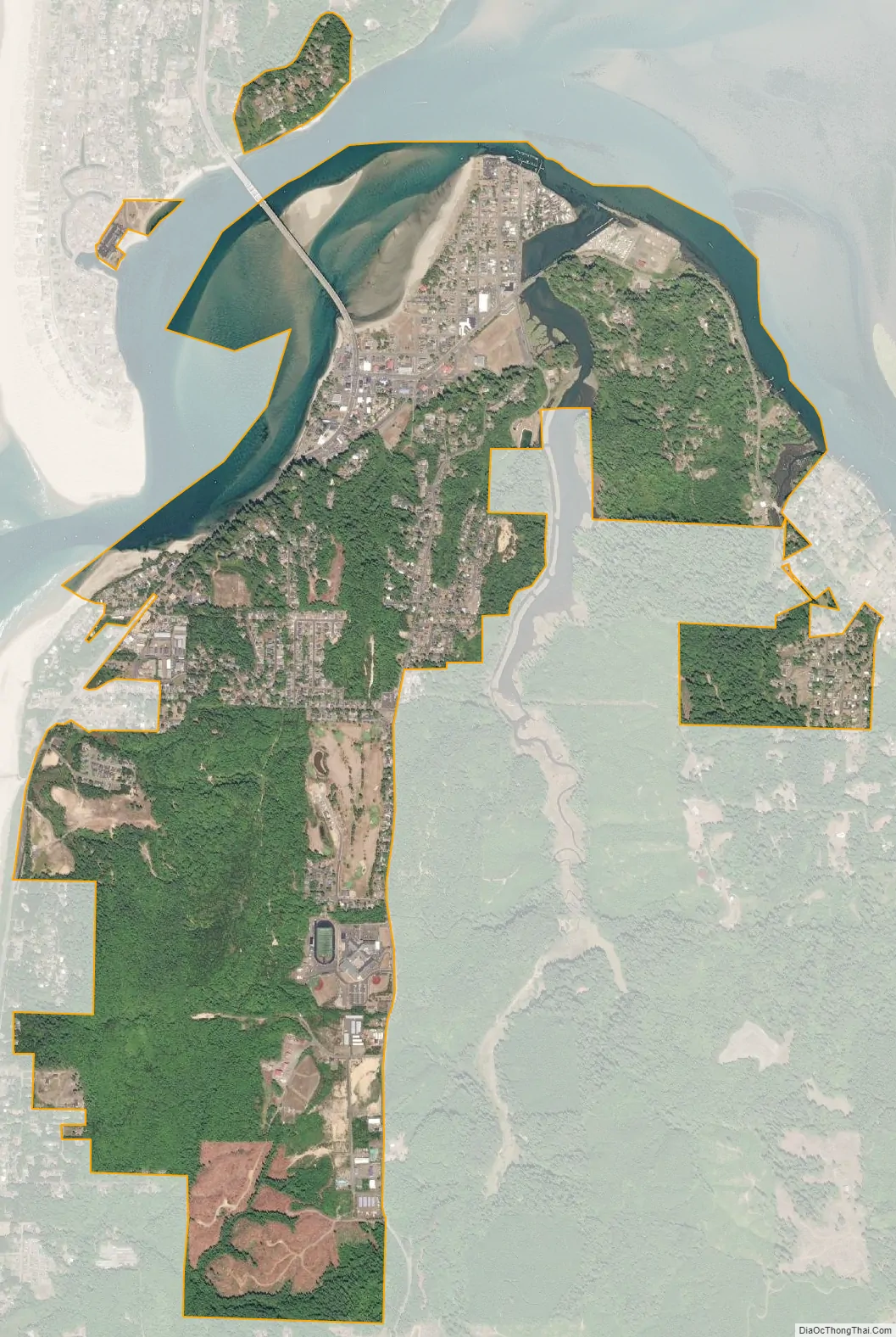
Waldport city Satellite Map
Geography
According to the United States Census Bureau, the city has a total area of 3.02 square miles (7.82 km), of which, 2.77 square miles (7.17 km) is land and 0.25 square miles (0.65 km) is water.
See also
Map of Oregon State and its subdivision: Map of other states:- Alabama
- Alaska
- Arizona
- Arkansas
- California
- Colorado
- Connecticut
- Delaware
- District of Columbia
- Florida
- Georgia
- Hawaii
- Idaho
- Illinois
- Indiana
- Iowa
- Kansas
- Kentucky
- Louisiana
- Maine
- Maryland
- Massachusetts
- Michigan
- Minnesota
- Mississippi
- Missouri
- Montana
- Nebraska
- Nevada
- New Hampshire
- New Jersey
- New Mexico
- New York
- North Carolina
- North Dakota
- Ohio
- Oklahoma
- Oregon
- Pennsylvania
- Rhode Island
- South Carolina
- South Dakota
- Tennessee
- Texas
- Utah
- Vermont
- Virginia
- Washington
- West Virginia
- Wisconsin
- Wyoming