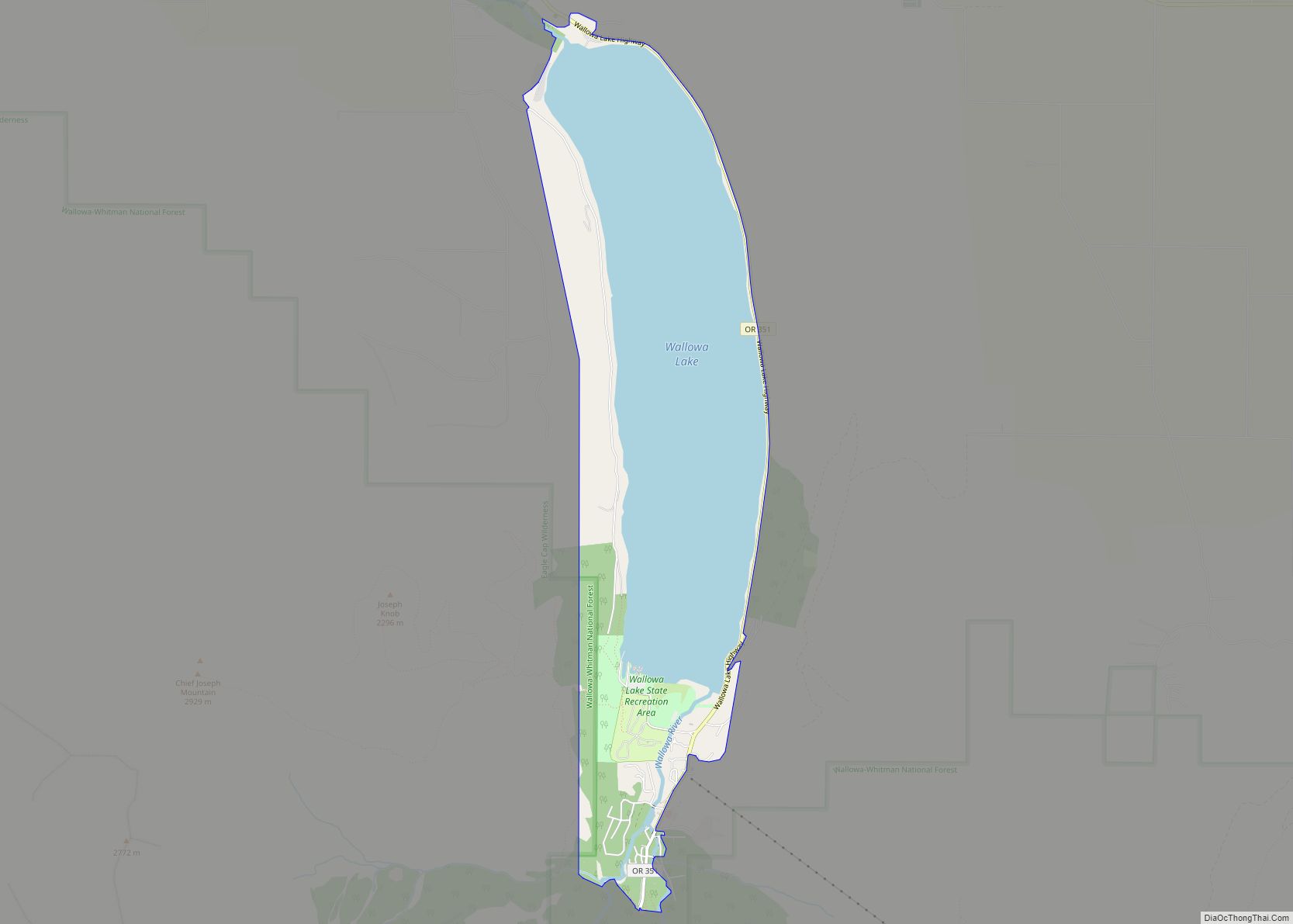
Wallowa Lake is a census-designated place (CDP) and unincorporated community in Wallowa County, Oregon, United States. It is located on the south end of Wallowa Lake, and is a small community made up of vacation homes, lodging, restaurants, as well as other small businesses.
| Name: | Wallowa Lake CDP |
|---|---|
| LSAD Code: | 57 |
| LSAD Description: | CDP (suffix) |
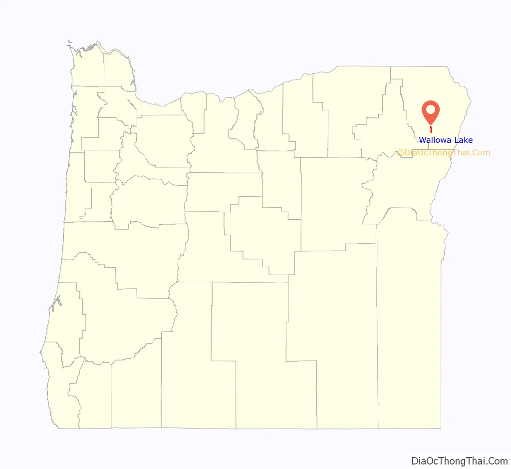
| State: | Oregon |
| County: | Wallowa County |
| Elevation: | 4,372 ft (1,333 m) |
| Total Area: | 4.00 sq mi (10.36 km²) |
| Land Area: | 1.83 sq mi (4.75 km²) |
| Water Area: | 2.17 sq mi (5.61 km²) |
| Total Population: | 72 |
| Population Density: | 39.26/sq mi (15.16/km²) |
| FIPS code: | 4178160 |
| GNISfeature ID: | 2584429 |
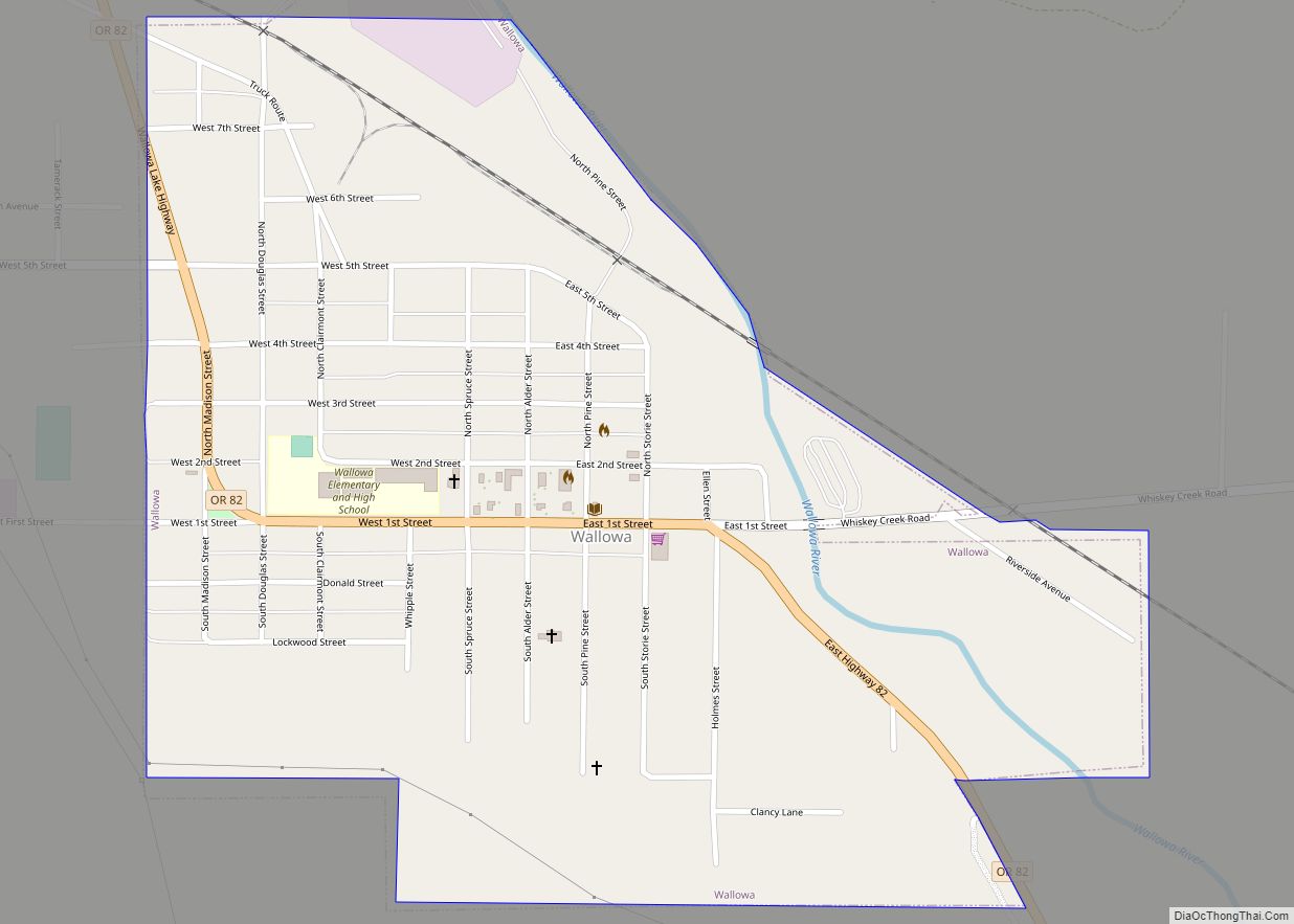
Online Interactive Map
Click on ![]() to view map in "full screen" mode.
to view map in "full screen" mode.
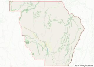
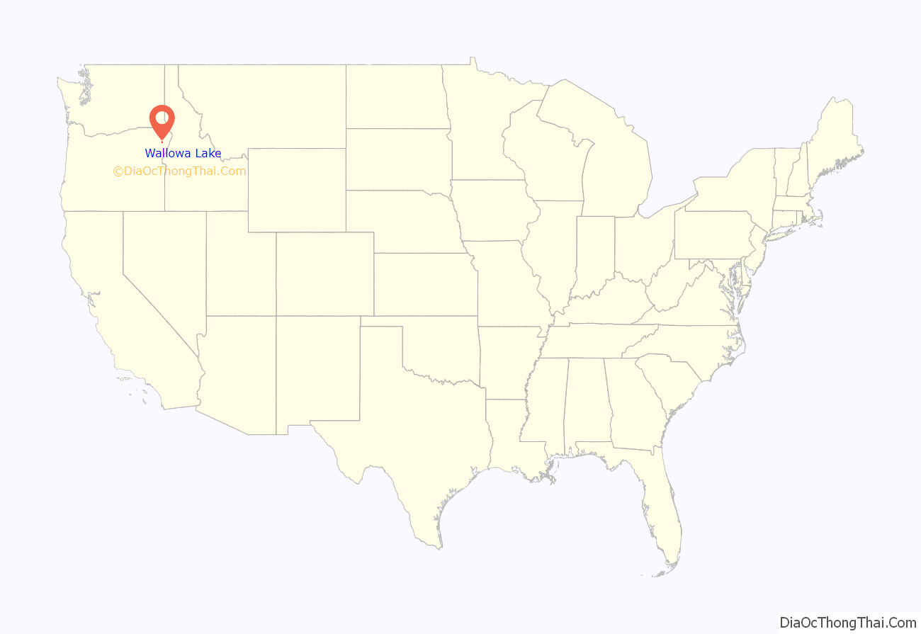
Wallowa Lake location map. Where is Wallowa Lake CDP?
History
Wallowa Lake gained popularity among gold miners and soon began attracting guests from other areas. Seeing an emerging tourism market, entrepreneurs began building businesses at the lake. Among those built was the Wonderland Inn, now known as the Wallowa Lake Lodge. The Wonderland Inn was developed in 1923 as an amusement park at the south end of the lake. The park contained a restaurant, store, bowling alley, dance hall, outdoor movie theater, horse drawn carousel and cabins for those wishing to stay overnight. An 18-passenger boat carried the guests who arrived in Joseph (which lies at the north end of the lake) down the entire four mile stretch of Wallowa Lake, finally arriving at the inn and amusement park.
The amusement park operated until 1940, when snowfall from an unusually harsh winter crushed most of the buildings and rendered the park inoperable. However, the inn survived the winter and still remains in operation, though renamed the Wallowa Lake Lodge. The area at the south end of the lake continued to be developed commercially. Several more stores, lodges, restaurants, and rental cabins were built in the following years, turning the south end of the lake into a tourist community.
The businesses at the south end of Wallowa Lake are members of a non-profit tourism association. This association maintains a website, supports tourism in the area and works to solve issues across the lake community.
There are 2,000 to 3,000 people residing at the south end of Wallowa Lake in summer with all businesses open. However, from October through March there are less than 40 year-round residences at the south end of the lake, and only a few lodging businesses remain open.
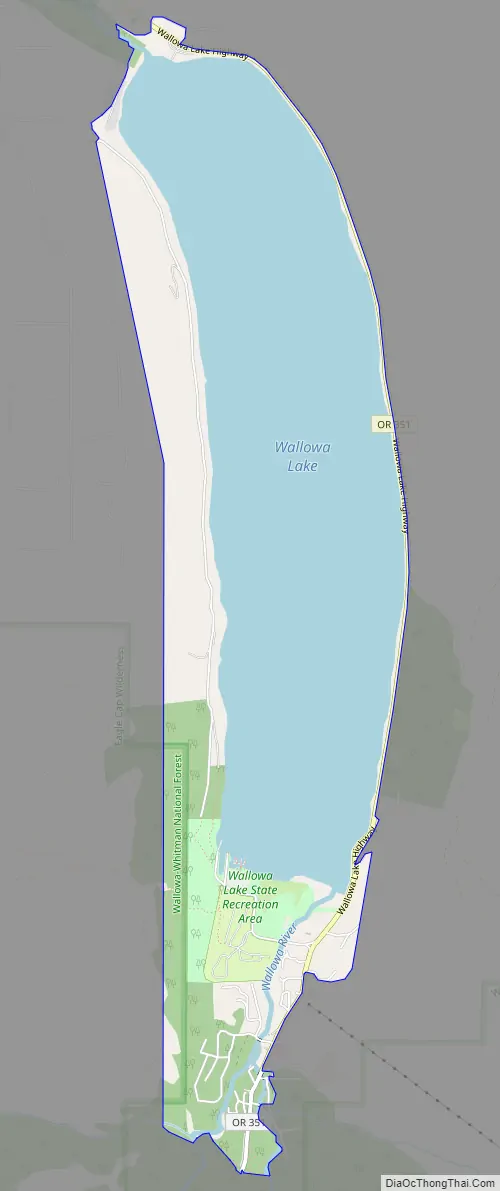
Wallowa Lake Road Map
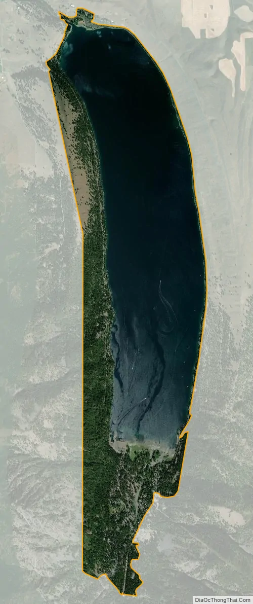
Wallowa Lake city Satellite Map
See also
Map of Oregon State and its subdivision: Map of other states:- Alabama
- Alaska
- Arizona
- Arkansas
- California
- Colorado
- Connecticut
- Delaware
- District of Columbia
- Florida
- Georgia
- Hawaii
- Idaho
- Illinois
- Indiana
- Iowa
- Kansas
- Kentucky
- Louisiana
- Maine
- Maryland
- Massachusetts
- Michigan
- Minnesota
- Mississippi
- Missouri
- Montana
- Nebraska
- Nevada
- New Hampshire
- New Jersey
- New Mexico
- New York
- North Carolina
- North Dakota
- Ohio
- Oklahoma
- Oregon
- Pennsylvania
- Rhode Island
- South Carolina
- South Dakota
- Tennessee
- Texas
- Utah
- Vermont
- Virginia
- Washington
- West Virginia
- Wisconsin
- Wyoming