Wamic is a census-designated place (CDP) and unincorporated community in Wasco County, Oregon, United States. Wamic was named for the Womack family, which settled the area. A post office was established at Wamic in 1884 and it closed in 1958. The population was 36 at the 2000 census.
| Name: | Wamic CDP |
|---|---|
| LSAD Code: | 57 |
| LSAD Description: | CDP (suffix) |
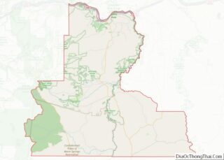
| State: | Oregon |
| County: | Wasco County |
| Elevation: | 1,676 ft (511 m) |
| Total Area: | 1.21 sq mi (3.12 km²) |
| Land Area: | 1.21 sq mi (3.12 km²) |
| Water Area: | 0.00 sq mi (0.00 km²) |
| Total Population: | 123 |
| Population Density: | 101.99/sq mi (39.39/km²) |
| ZIP code: | 97063 |
| Area code: | 541 and 458 |
| FIPS code: | 4178300 |
| GNISfeature ID: | 1151871 |
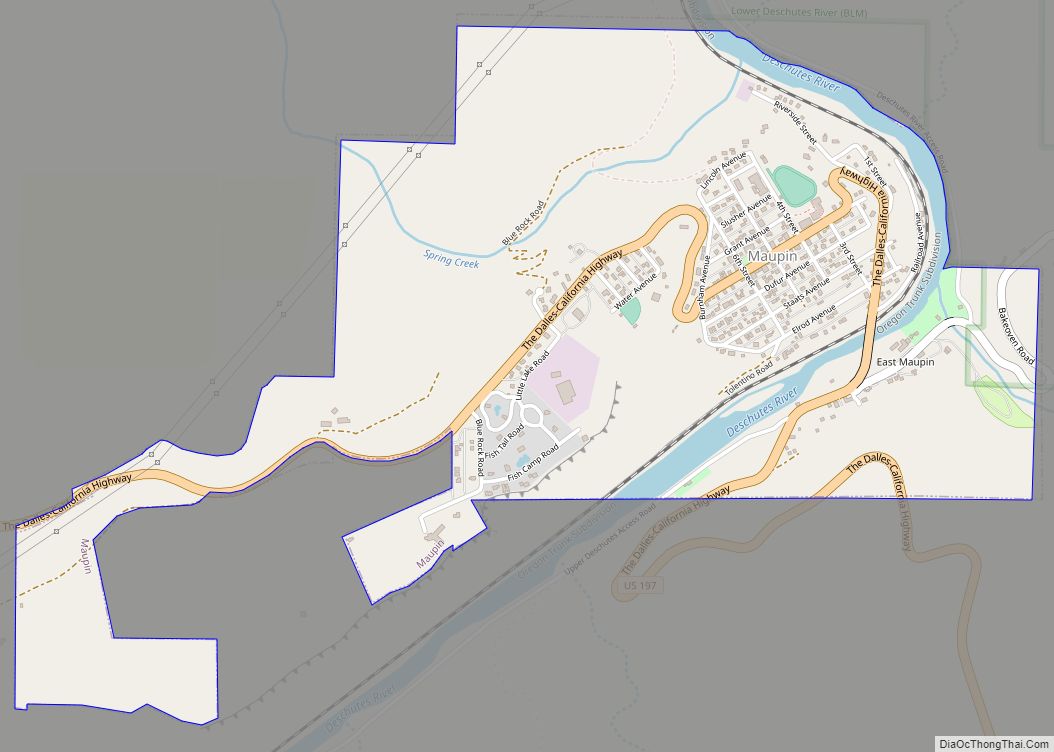
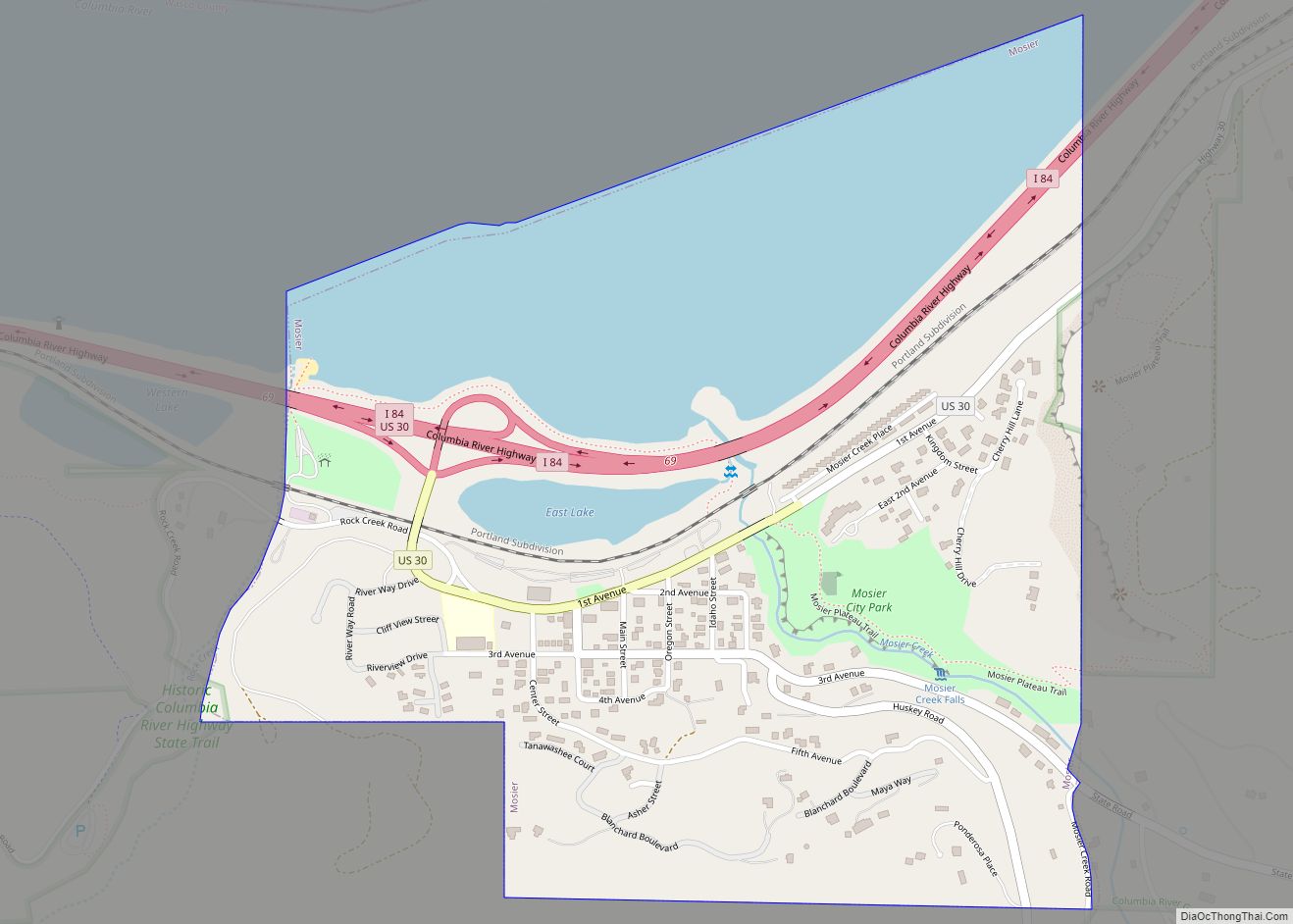
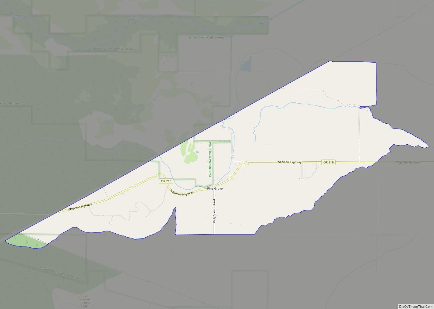
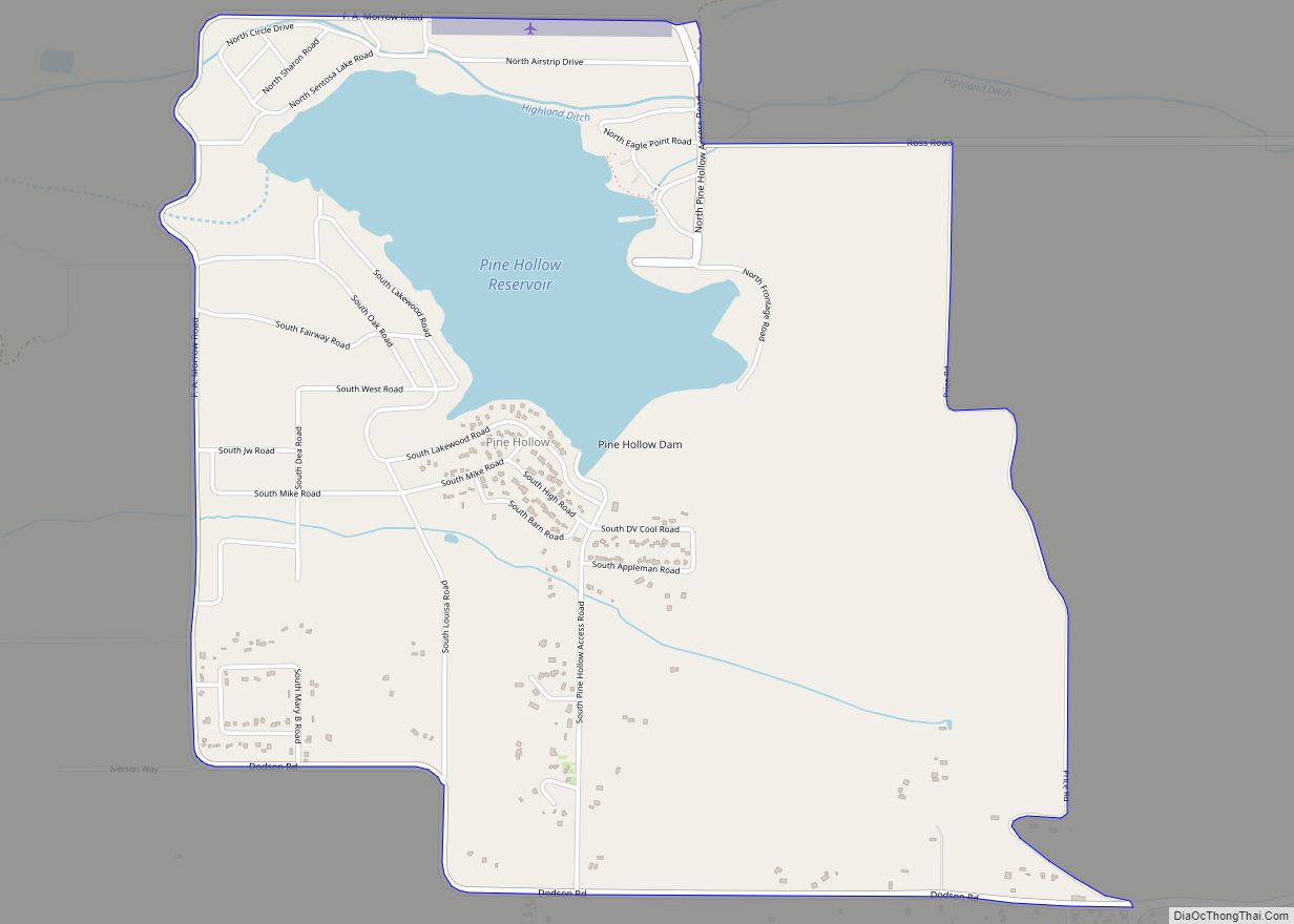
Online Interactive Map
Click on ![]() to view map in "full screen" mode.
to view map in "full screen" mode.
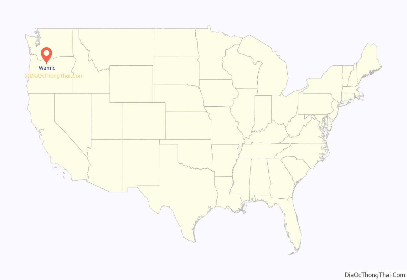
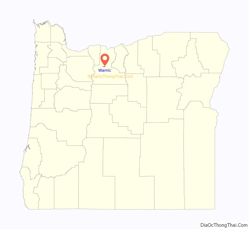
Wamic location map. Where is Wamic CDP?
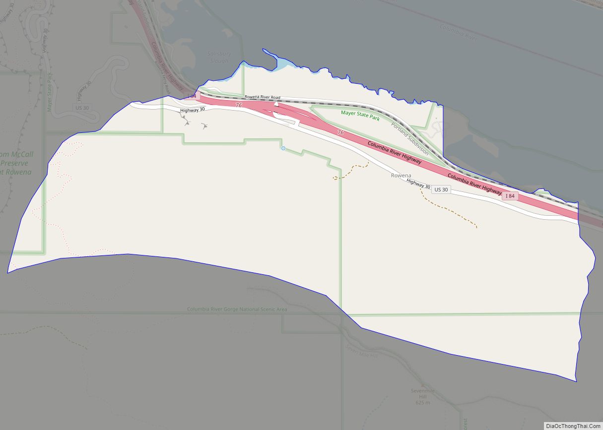
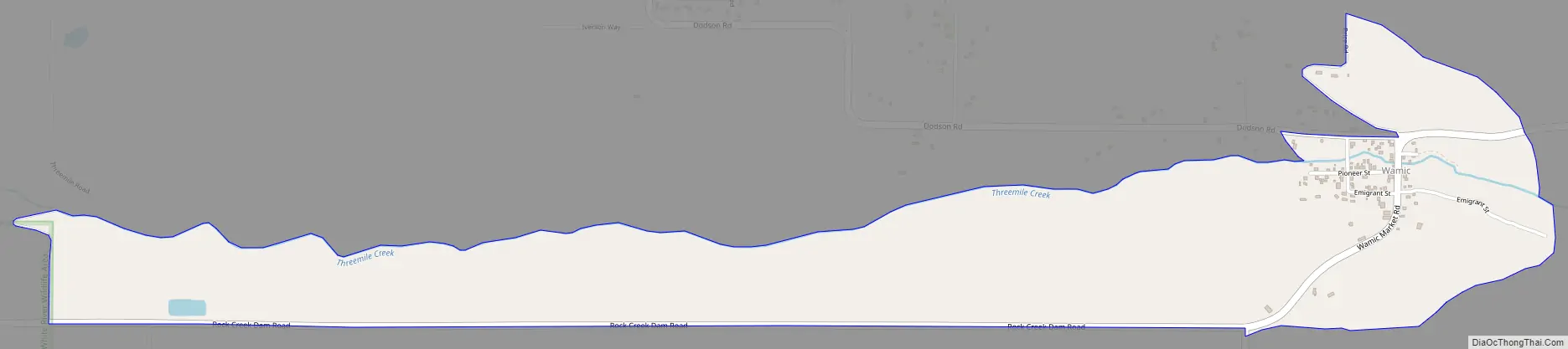
Wamic Road Map
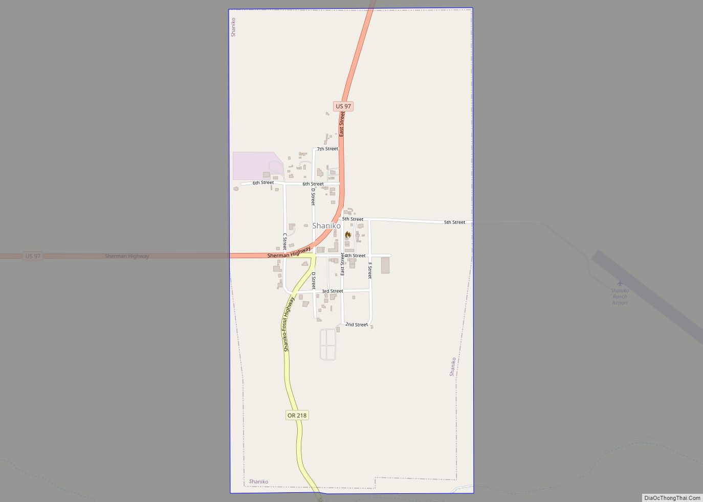
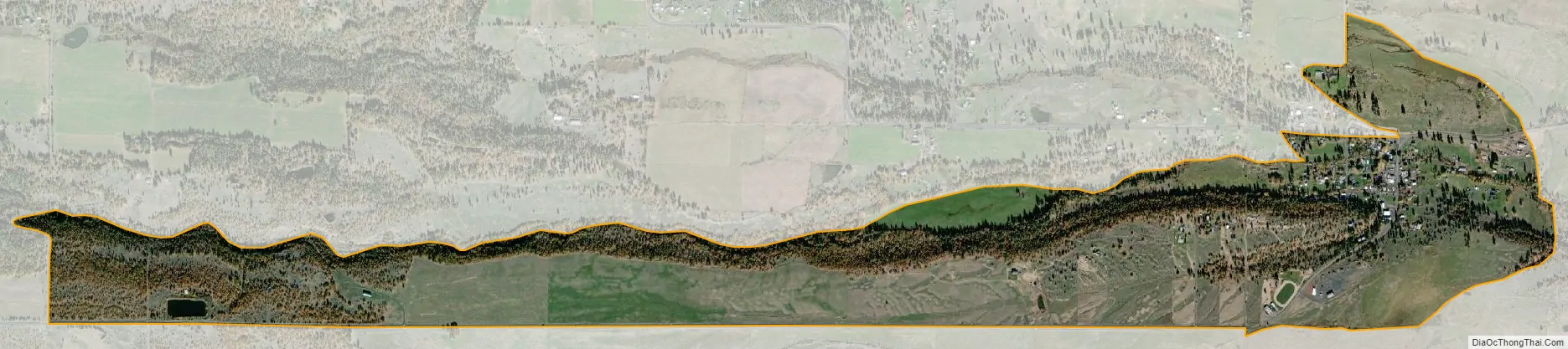
Wamic city Satellite Map
Geography
According to the United States Census Bureau, the CDP has a total area of 1.2 square miles (3.1 km), all of it land. The community is located 1,676 feet (511 m) above sea-level.
See also
Map of Oregon State and its subdivision: Map of other states:- Alabama
- Alaska
- Arizona
- Arkansas
- California
- Colorado
- Connecticut
- Delaware
- District of Columbia
- Florida
- Georgia
- Hawaii
- Idaho
- Illinois
- Indiana
- Iowa
- Kansas
- Kentucky
- Louisiana
- Maine
- Maryland
- Massachusetts
- Michigan
- Minnesota
- Mississippi
- Missouri
- Montana
- Nebraska
- Nevada
- New Hampshire
- New Jersey
- New Mexico
- New York
- North Carolina
- North Dakota
- Ohio
- Oklahoma
- Oregon
- Pennsylvania
- Rhode Island
- South Carolina
- South Dakota
- Tennessee
- Texas
- Utah
- Vermont
- Virginia
- Washington
- West Virginia
- Wisconsin
- Wyoming