Warren is an unincorporated community and census-designated place in Columbia County, Oregon, United States, located on U.S. Route 30 north of Scappoose and south of St. Helens on Scappoose Bay of the Multnomah Channel. As of the 2010 census it had a population of 1,787.
The Warren post office was established in 1885; it was named by local resident James Gill for his hometown of Warren, Massachusetts. The post office was discontinued in 1888, but reestablished in 1890 as “Gilltown” because there was another post office named Warren in Umatilla County. The Columbia County office became Warren again in 1895, and the Umatilla County office was closed in 1902; the locality in Umatilla County is now known as Myrick.
| Name: | Warren CDP |
|---|---|
| LSAD Code: | 57 |
| LSAD Description: | CDP (suffix) |
| State: | Oregon |
| County: | Columbia County |
| Total Area: | 6.33 sq mi (16.40 km²) |
| Land Area: | 6.31 sq mi (16.35 km²) |
| Water Area: | 0.02 sq mi (0.05 km²) |
| Total Population: | 1,870 |
| Population Density: | 296.31/sq mi (114.40/km²) |
| ZIP code: | 97053 |
| FIPS code: | 4178800 |
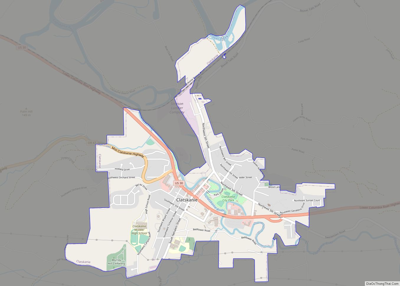
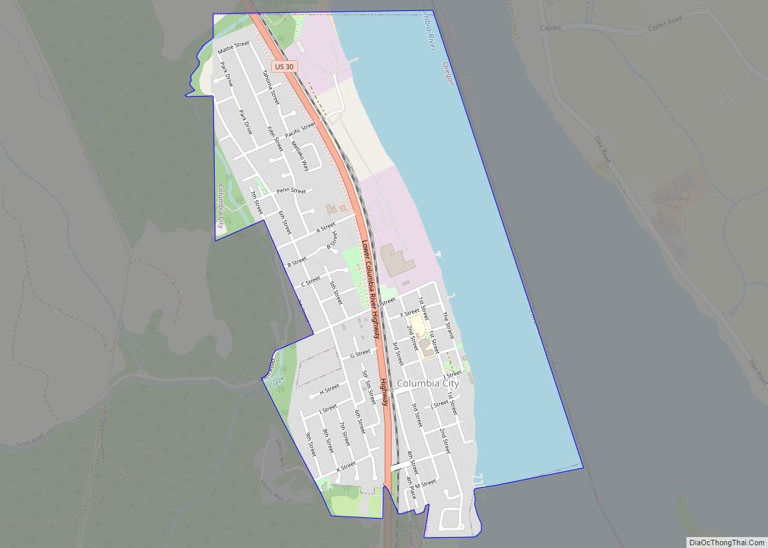
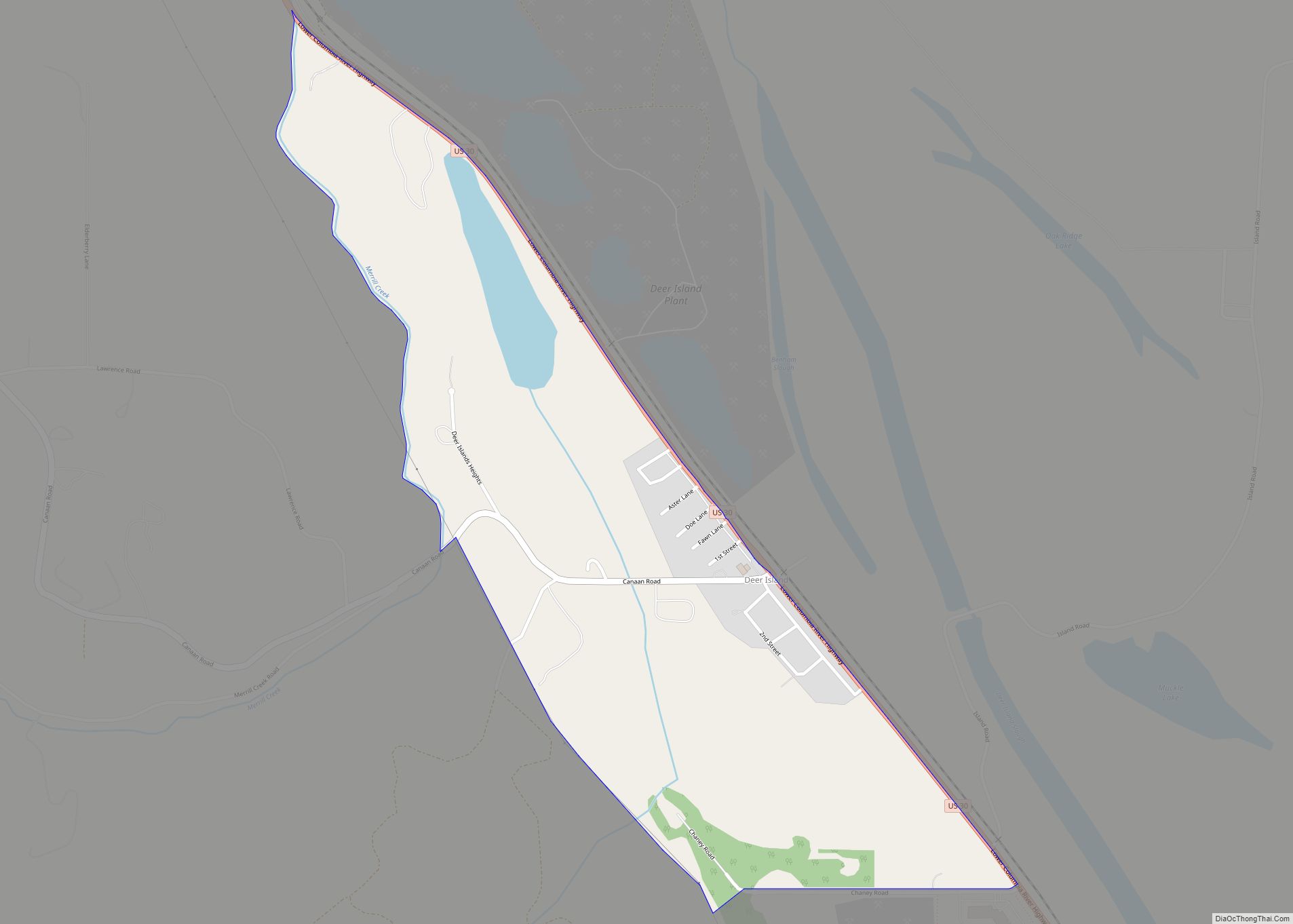
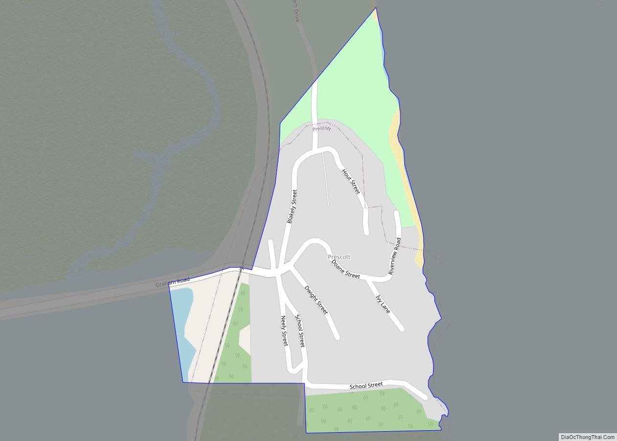
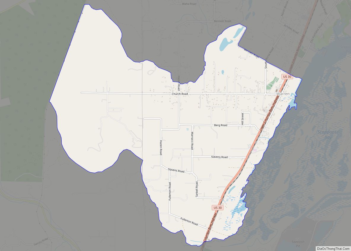
Online Interactive Map
Click on ![]() to view map in "full screen" mode.
to view map in "full screen" mode.
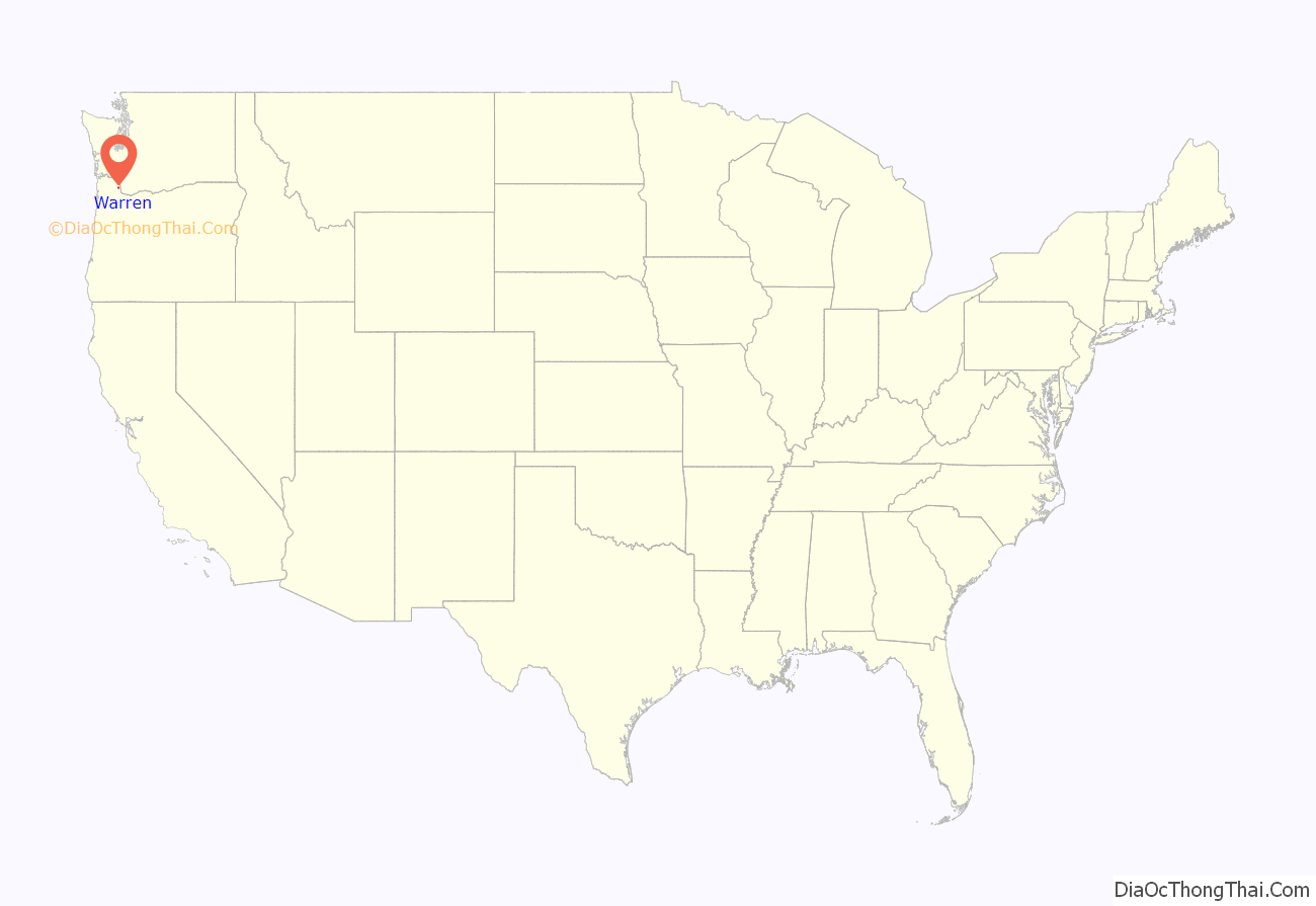
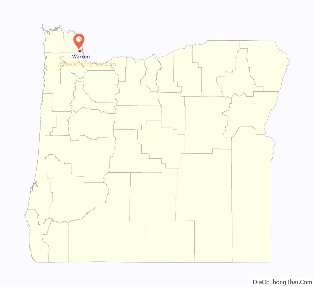
Warren location map. Where is Warren CDP?
Warren Road Map
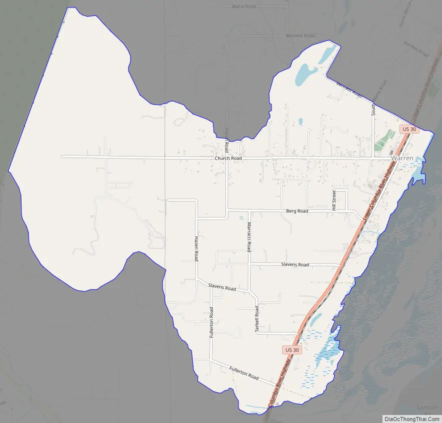
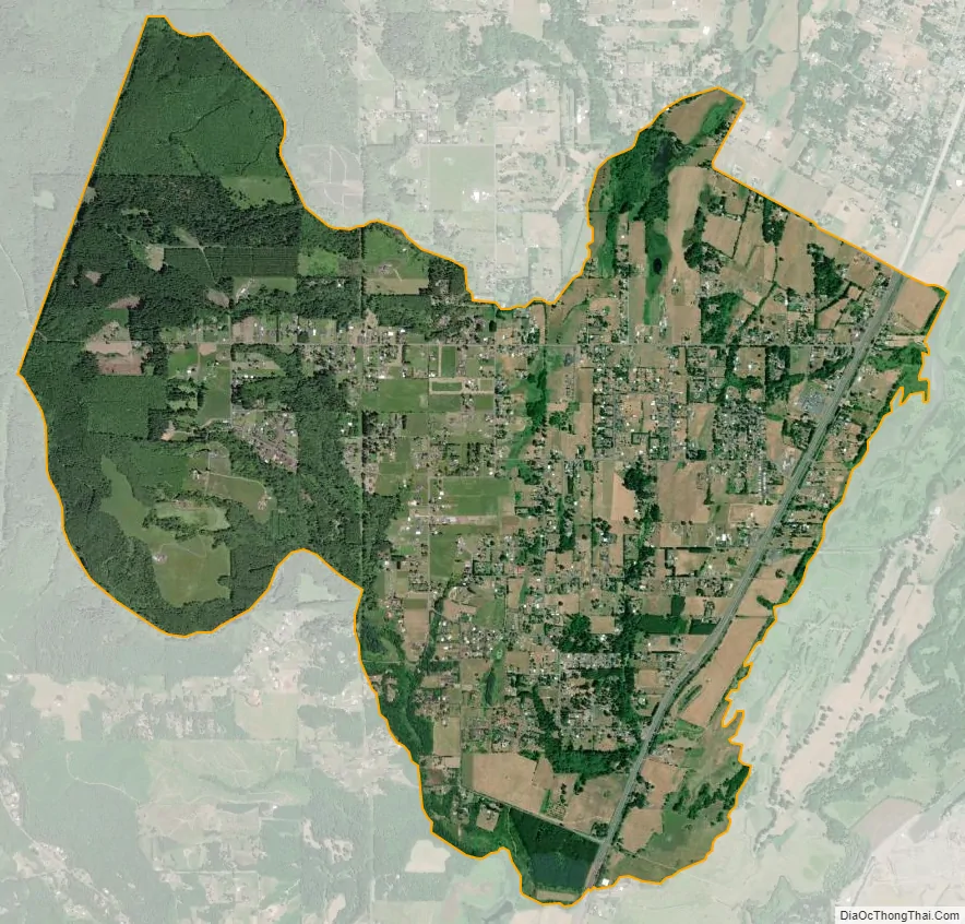
Warren city Satellite Map
See also
Map of Oregon State and its subdivision: Map of other states:- Alabama
- Alaska
- Arizona
- Arkansas
- California
- Colorado
- Connecticut
- Delaware
- District of Columbia
- Florida
- Georgia
- Hawaii
- Idaho
- Illinois
- Indiana
- Iowa
- Kansas
- Kentucky
- Louisiana
- Maine
- Maryland
- Massachusetts
- Michigan
- Minnesota
- Mississippi
- Missouri
- Montana
- Nebraska
- Nevada
- New Hampshire
- New Jersey
- New Mexico
- New York
- North Carolina
- North Dakota
- Ohio
- Oklahoma
- Oregon
- Pennsylvania
- Rhode Island
- South Carolina
- South Dakota
- Tennessee
- Texas
- Utah
- Vermont
- Virginia
- Washington
- West Virginia
- Wisconsin
- Wyoming