Woodburn is a city in Marion County, Oregon, United States. Incorporated in 1889, the community had been platted in 1871 after the arrival of the railroad. The city is located in the northern end of the Willamette Valley between Portland and Salem. Interstate 5 connects it to major cities to the north and south. Oregon routes 211, 214, 219, and 99E also serve the city, as do Union Pacific and Willamette Valley Railway freight rail lines.
Woodburn is part of the Salem Metropolitan Statistical Area. With a population of 26,013 at the 2020 census, it is the third-most populous in that metropolitan area after Salem and Keizer.
| Name: | Woodburn city |
|---|---|
| LSAD Code: | 25 |
| LSAD Description: | city (suffix) |
| State: | Oregon |
| County: | Marion County |
| Incorporated: | 1889 |
| Elevation: | 197 ft (60 m) |
| Land Area: | 5.86 sq mi (15.17 km²) |
| Water Area: | 0.00 sq mi (0.00 km²) |
| Population Density: | 4,439.84/sq mi (1,714.36/km²) |
| ZIP code: | 97071 |
| Area code: | 503/971 |
| FIPS code: | 4183750 |
| GNISfeature ID: | 1163363 |
| Website: | www.woodburn-or.gov |
Online Interactive Map
Click on ![]() to view map in "full screen" mode.
to view map in "full screen" mode.
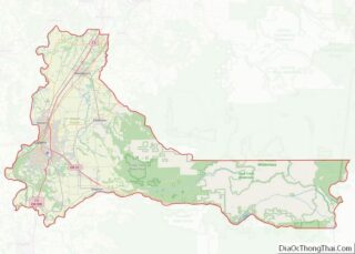
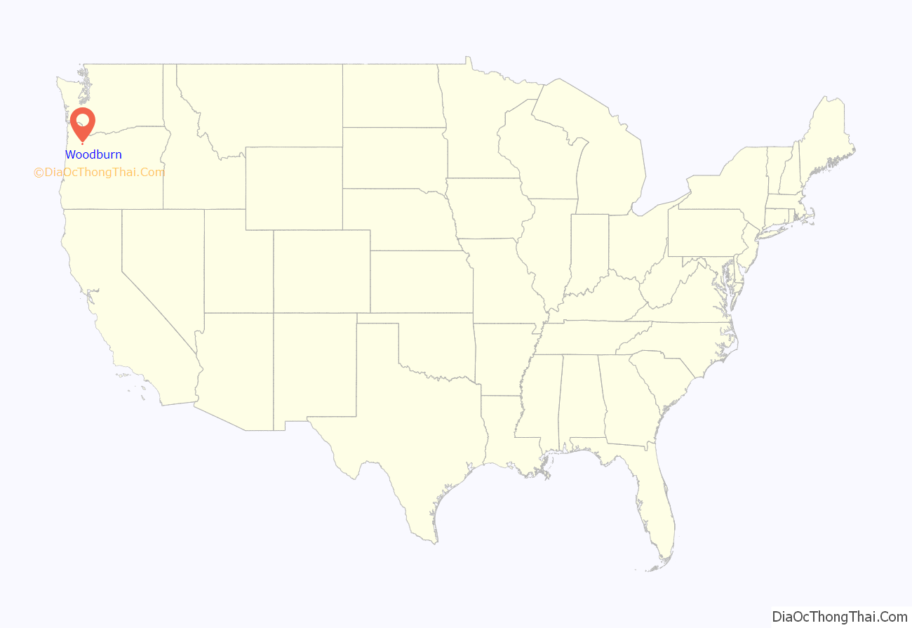
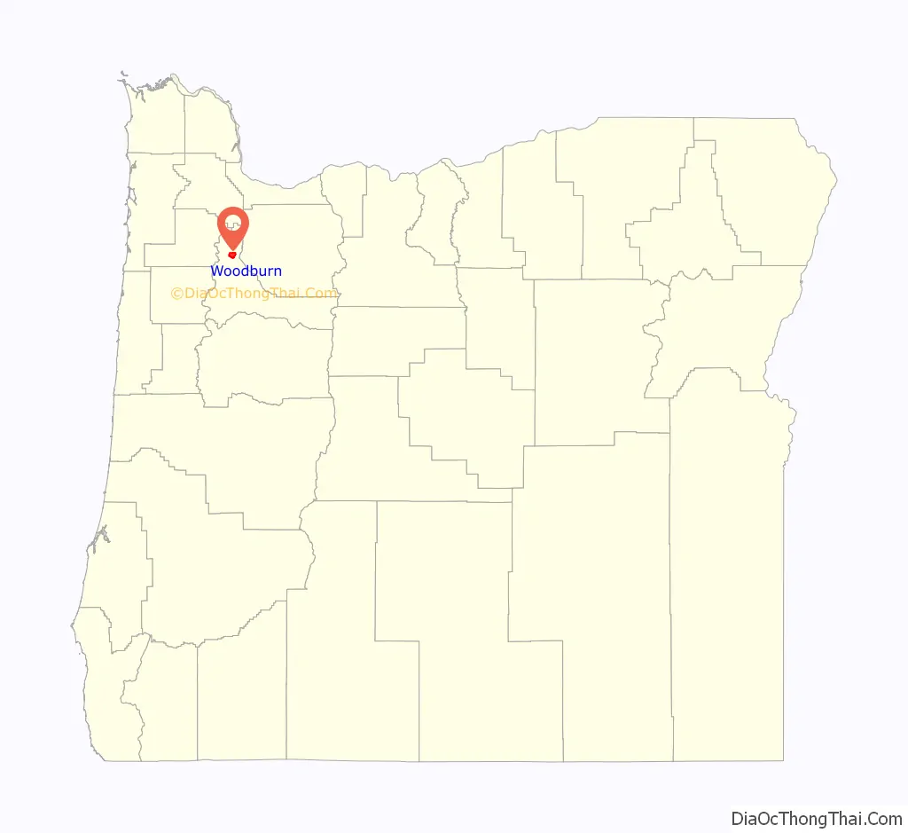
Woodburn location map. Where is Woodburn city?
History
Originally, the area around Woodburn was inhabited by the Kalapuya Native Americans. After the Provisional Government of Oregon set-up land claims in the Oregon Country, the United States annexed much of the Pacific Northwest and established the Oregon Territory in 1848. Congress passed the Donation Land Claim Act in 1850 and many earlier land claims became donation land claims.
Eli C. Cooley, Bradford S. Bonney, George Leisure, and Jean B. Ducharme all established donation land claims on the eastern part of the French Prairie where Woodburn would later be founded. Cooley immigrated to Oregon in 1845, and Bonney established his land claim in 1849. Ducharme’s land was sold off in 1862 in a foreclosure, with Mt. Angel farmer George Settlemier purchasing the 214 acres (87 ha) on the cheap.
Settlemier had traveled west over the Oregon Trail in 1849 and first settled in California before moving north to Oregon in 1850. He settled in the Mt. Angel area where he was a successful nurseryman. Settlemier then moved to his new property in 1863 and established the Woodburn Nursery Company. Despite improvements to the land, including construction of his home, title in the land remained in doubt due to the purchase via a foreclosure.
During the litigation over title in the land, Settlemier borrowed money from capitalist William Reed with the land as collateral. When Reed began to build a railroad through the area, he decided to run the line through what became Woodburn in anticipation of acquiring the land himself, as he expected Settlemier to default on the mortgage. However, Settlemier did not default and eventually his case made it to the Supreme Court of the United States in Settlemier v. Sullivan, 97 U.S. 444 (1878). He gained a favorable ruling and retained the land.
Meanwhile, transportation baron Ben Holladay ran his Oregon and California Railroad through what became Woodburn in 1871, at which time Settlemier platted the first four blocks of the town.
Originally, the town and station were called Halsey, but the name was changed to Woodburn due to the existence of Halsey, Oregon, further down the valley. The name Woodburn came about after a slash burn that got out of control and burned down a nearby woodlot in the 1880s, after the railroad line had been laid through the area. A railroad official witnessed the fire and renamed the community. The city was incorporated by the Oregon Legislative Assembly on February 20, 1889.
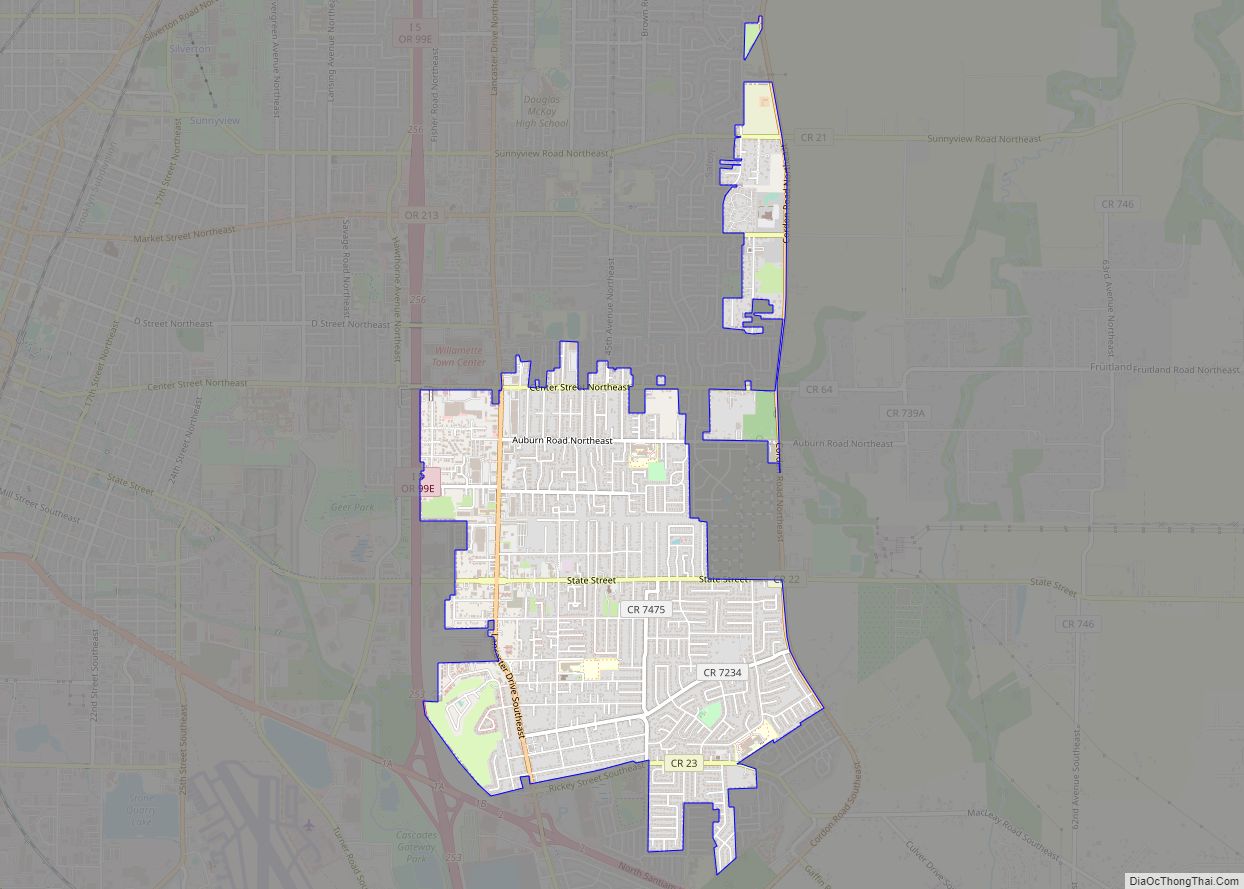
Woodburn Road Map
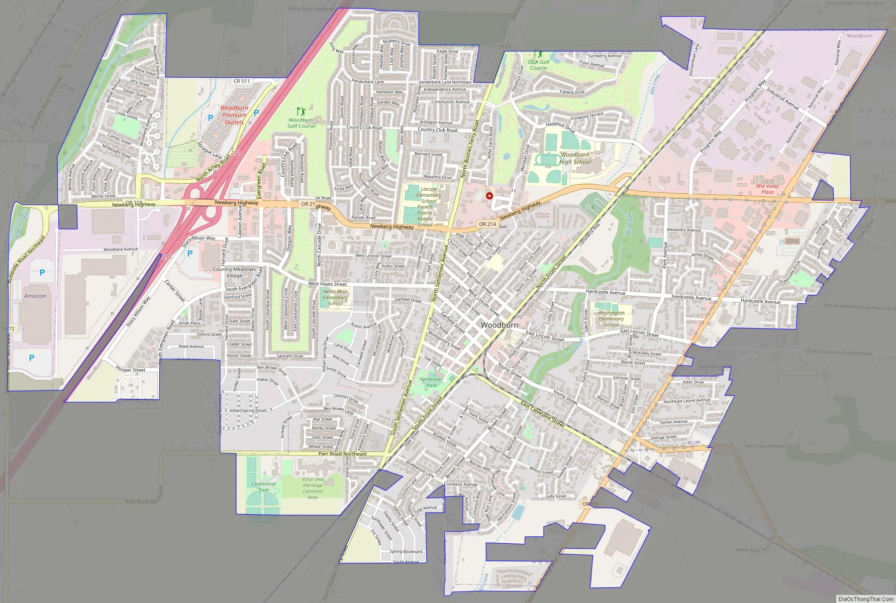
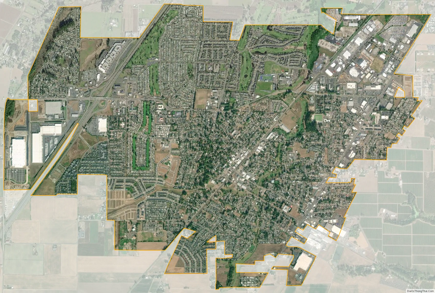
Woodburn city Satellite Map
Geography
According to the United States Census Bureau, the city has a total area of 5.37 square miles (13.91 km), all of it land.
See also
Map of Oregon State and its subdivision: Map of other states:- Alabama
- Alaska
- Arizona
- Arkansas
- California
- Colorado
- Connecticut
- Delaware
- District of Columbia
- Florida
- Georgia
- Hawaii
- Idaho
- Illinois
- Indiana
- Iowa
- Kansas
- Kentucky
- Louisiana
- Maine
- Maryland
- Massachusetts
- Michigan
- Minnesota
- Mississippi
- Missouri
- Montana
- Nebraska
- Nevada
- New Hampshire
- New Jersey
- New Mexico
- New York
- North Carolina
- North Dakota
- Ohio
- Oklahoma
- Oregon
- Pennsylvania
- Rhode Island
- South Carolina
- South Dakota
- Tennessee
- Texas
- Utah
- Vermont
- Virginia
- Washington
- West Virginia
- Wisconsin
- Wyoming