Jamestown is a town in Berkeley County, South Carolina, United States. The population was 72 at the 2010 census.
Jamestown is included within the Charleston-North Charleston-Summerville metropolitan area.
| Name: | Jamestown town |
|---|---|
| LSAD Code: | 43 |
| LSAD Description: | town (suffix) |
| State: | South Carolina |
| County: | Berkeley County |
| Elevation: | 30 ft (9 m) |
| Total Area: | 0.61 sq mi (1.57 km²) |
| Land Area: | 0.61 sq mi (1.57 km²) |
| Water Area: | 0.00 sq mi (0.00 km²) |
| Total Population: | 68 |
| Population Density: | 112.21/sq mi (43.35/km²) |
| ZIP code: | 29453 |
| Area code: | 843, 854 |
| FIPS code: | 4536475 |
| GNISfeature ID: | 1229846 |
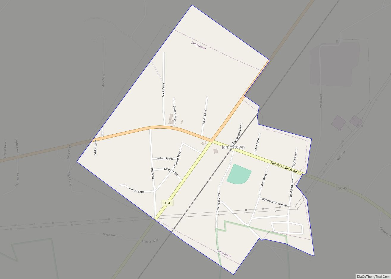
Online Interactive Map
Click on ![]() to view map in "full screen" mode.
to view map in "full screen" mode.
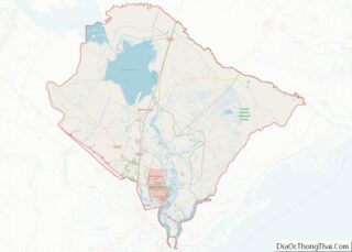
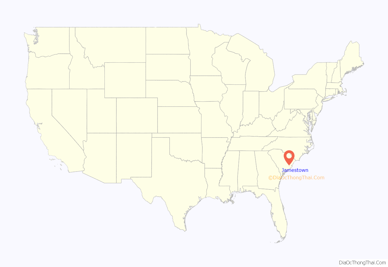
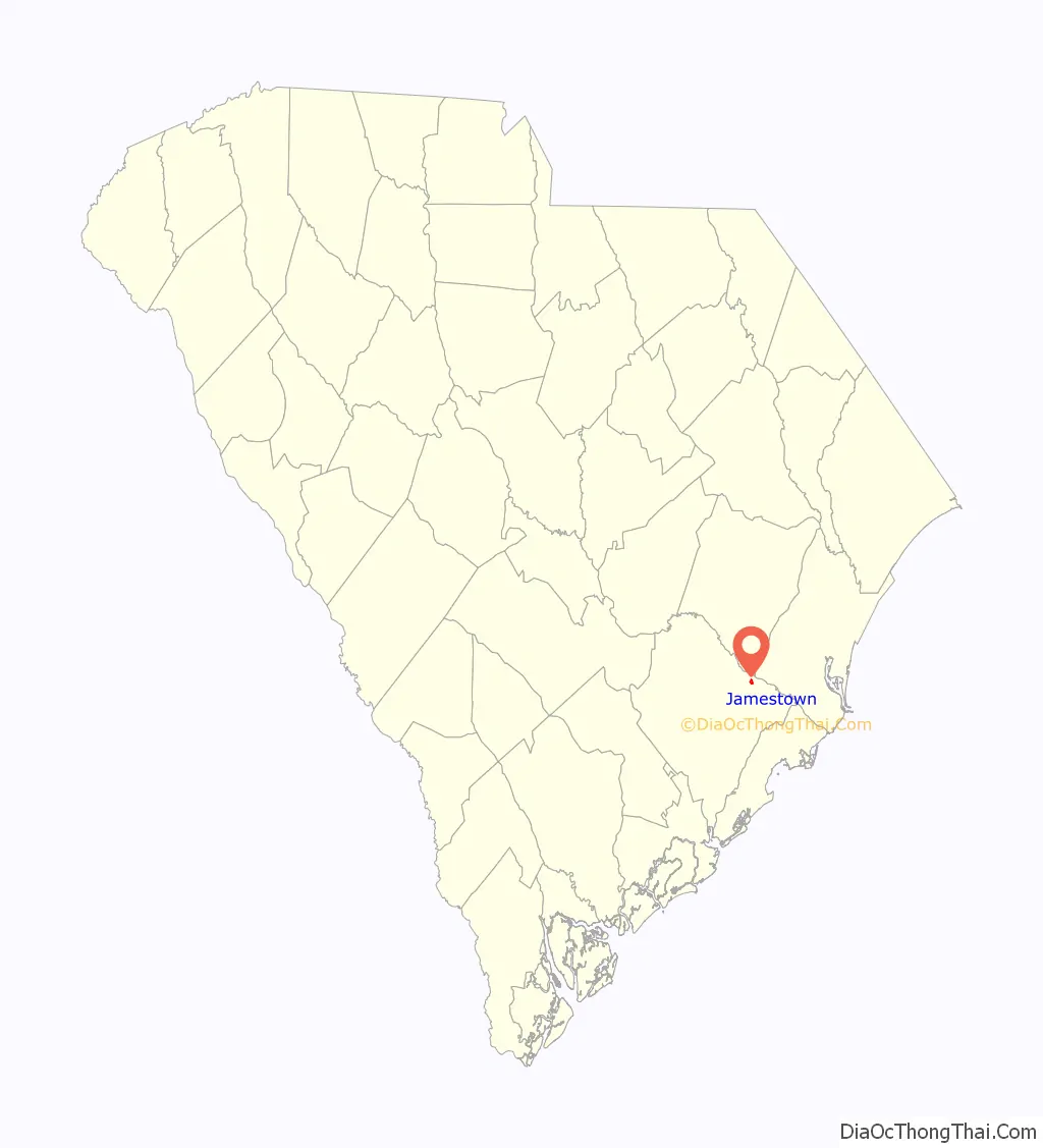
Jamestown location map. Where is Jamestown town?
History
Originally settled by Huguenot refugees from France in the 17th century, the area was established as St. James Santee in 1706, the first parish of the Church of England in Carolina outside Charleston.
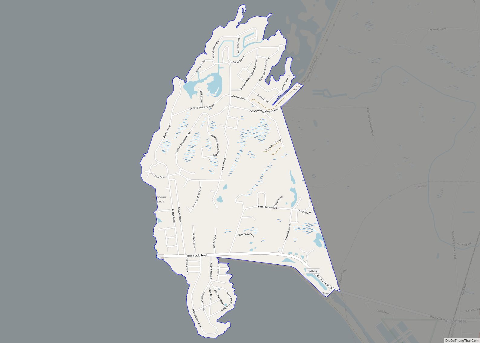
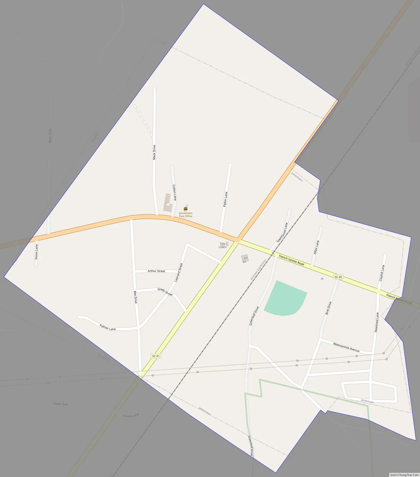
Jamestown Road Map
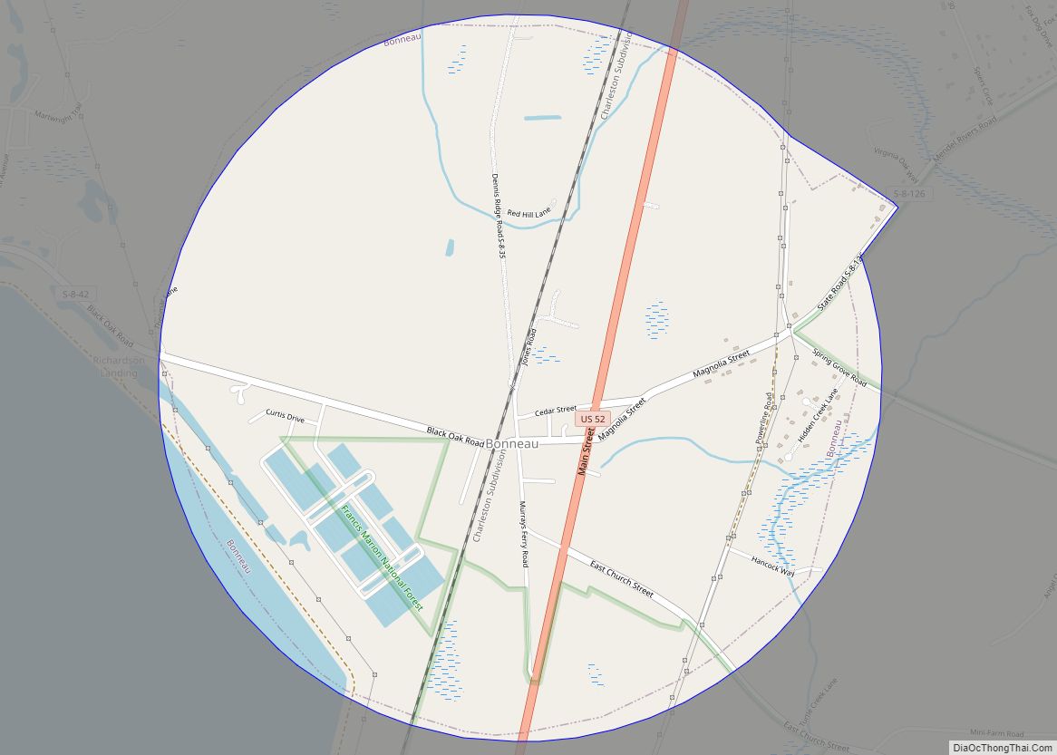
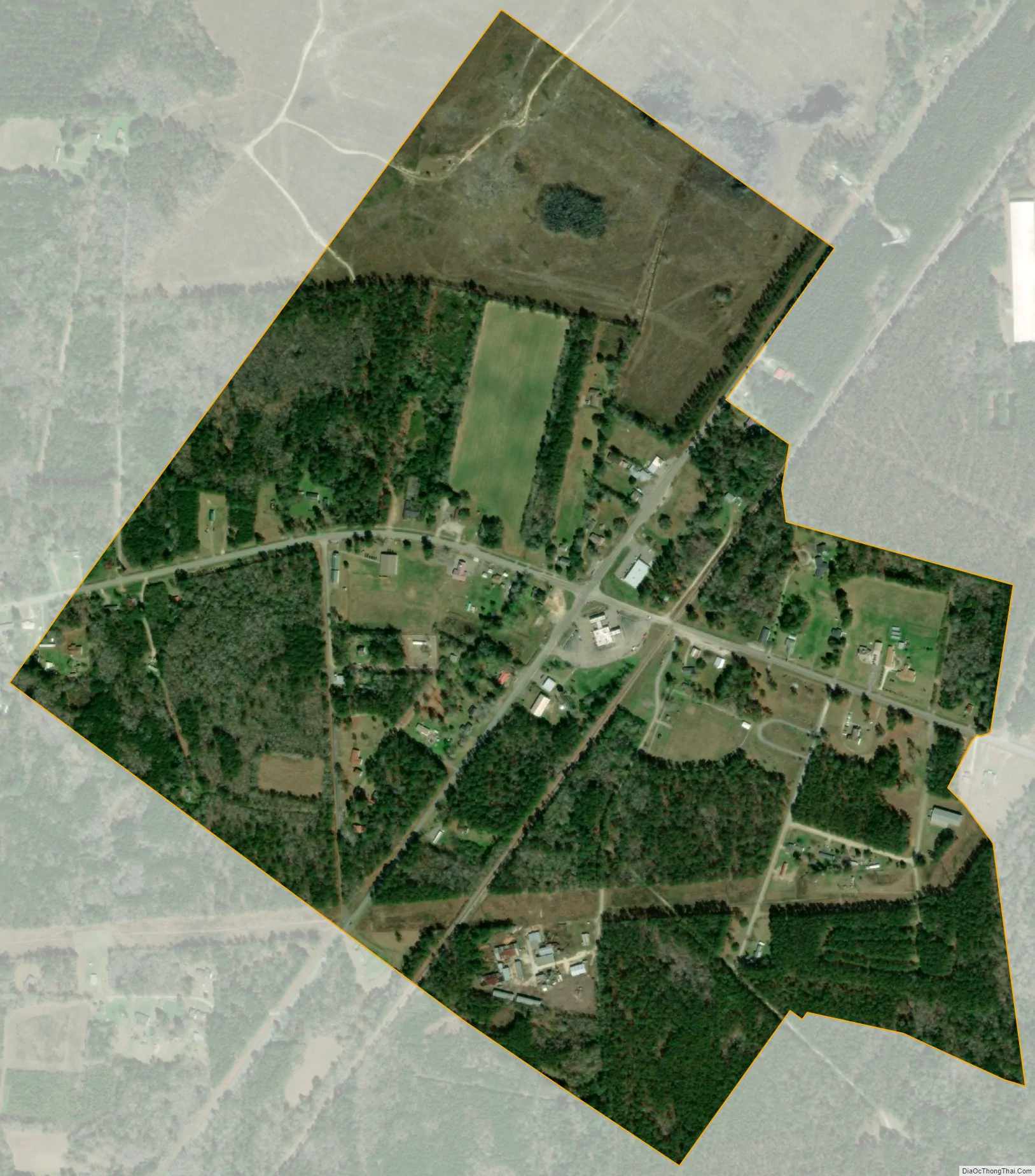
Jamestown city Satellite Map
Geography
Jamestown is located in northeastern Berkeley County at 33°17′03″N 79°41′42″W / 33.284063°N 79.695076°W / 33.284063; -79.695076, 1 mile (1.6 km) south of the Santee River. U.S. Route 17 Alternate passes through the town, leading east 29 miles (47 km) to Georgetown and west 21 miles (34 km) to Moncks Corner, the Berkeley County seat. South Carolina Highway 41 leads south from Jamestown 32 miles (51 km) to Mount Pleasant in the Charleston area and north 14 miles (23 km) to Andrews. The town is within Francis Marion National Forest.
According to the United States Census Bureau, Jamestown has a total area of 0.62 square miles (1.6 km), all of it land.
See also
Map of South Carolina State and its subdivision:- Abbeville
- Aiken
- Allendale
- Anderson
- Bamberg
- Barnwell
- Beaufort
- Berkeley
- Calhoun
- Charleston
- Cherokee
- Chester
- Chesterfield
- Clarendon
- Colleton
- Darlington
- Dillon
- Dorchester
- Edgefield
- Fairfield
- Florence
- Georgetown
- Greenville
- Greenwood
- Hampton
- Horry
- Jasper
- Kershaw
- Lancaster
- Laurens
- Lee
- Lexington
- Marion
- Marlboro
- McCormick
- Newberry
- Oconee
- Orangeburg
- Pickens
- Richland
- Saluda
- Spartanburg
- Sumter
- Union
- Williamsburg
- York
- Alabama
- Alaska
- Arizona
- Arkansas
- California
- Colorado
- Connecticut
- Delaware
- District of Columbia
- Florida
- Georgia
- Hawaii
- Idaho
- Illinois
- Indiana
- Iowa
- Kansas
- Kentucky
- Louisiana
- Maine
- Maryland
- Massachusetts
- Michigan
- Minnesota
- Mississippi
- Missouri
- Montana
- Nebraska
- Nevada
- New Hampshire
- New Jersey
- New Mexico
- New York
- North Carolina
- North Dakota
- Ohio
- Oklahoma
- Oregon
- Pennsylvania
- Rhode Island
- South Carolina
- South Dakota
- Tennessee
- Texas
- Utah
- Vermont
- Virginia
- Washington
- West Virginia
- Wisconsin
- Wyoming