Spanish Fork is a city in Utah County, Utah, United States. It is part of the Provo–Orem Metropolitan Statistical Area. The 2020 census reported a population of 42,602. Spanish Fork, Utah is the 20th largest city in Utah based on official 2017 estimates from the US Census Bureau.
Spanish Fork lies in the Utah Valley, with the Wasatch Range to the east and Utah Lake to the northwest. I-15 passes the northwest side of the city. Payson is approximately six miles to the southwest, Springville lies about four miles to the northeast, and Salem is approximately 4.5 miles to the south.
| Name: | Spanish Fork city |
|---|---|
| LSAD Code: | 25 |
| LSAD Description: | city (suffix) |
| State: | Utah |
| County: | Utah County |
| Incorporated: | January 17, 1855 |
| Elevation: | 4,577 ft (1,395 m) |
| Total Area: | 16.21 sq mi (41.98 km²) |
| Land Area: | 16.21 sq mi (41.98 km²) |
| Water Area: | 0.00 sq mi (0.00 km²) |
| Total Population: | 42,602 |
| Population Density: | 2,600/sq mi (1,000/km²) |
| ZIP code: | 84660 |
| Area code: | 385, 801 |
| FIPS code: | 4971290 |
| Website: | www.spanishfork.org |
Online Interactive Map
Click on ![]() to view map in "full screen" mode.
to view map in "full screen" mode.
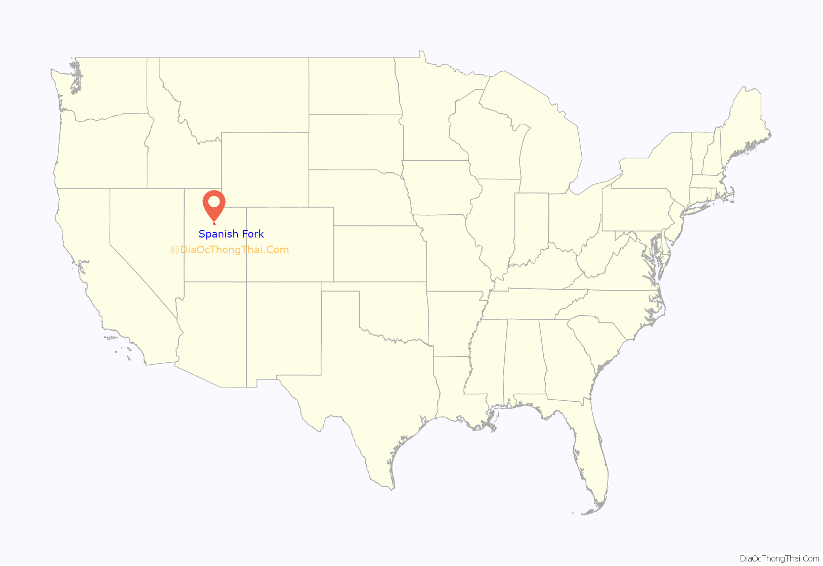
Spanish Fork location map. Where is Spanish Fork city?
History
Spanish Fork was settled in 1851 by members of the Church of Jesus Christ of Latter-day Saints as part of the Mormon Pioneers’ settlement of Utah Territory. Its name derives from a visit to the area by two Franciscan friars from Spain, Silvestre Vélez de Escalante and Francisco Atanasio Domínguez in 1776, who followed the stream down Spanish Fork canyon with the objective of opening a new trail from Santa Fe, New Mexico, to the Spanish missions in California, along a route later followed by fur trappers. They described the area inhabited by Native Americans as having “spreading meadows, where there is sufficient irrigable land for two good settlements. […] Over and above these finest of advantages, it has plenty of firewood and timber in the adjacent sierra which surrounds it—many sheltered spots, waters, and pasturages, for raising cattle and sheep and horses.”
In 1851, some settlers led by William Pace set up scattered farms in the Spanish Fork bottom lands and called the area the Upper Settlement. However, a larger group congregated at what became known as the Lower Settlement just over a mile northwest of the present center of Spanish Fork along the Spanish Fork river. In December 1851, Stephen Markham, who was severely wounded outside Carthage Jail in Carthage, Illinois while attempting to defend Joseph Smith and other church leaders from a mob in 1844, became the president of the first church congregation (branch) at the Lower Settlement.
In 1852, Latter-day Saints founded a settlement called Palmyra west of the historic center of Spanish Fork. George A. Smith supervised the laying out of a townsite, including a temple square in that year. A fort and a school were built at the Palmyra site in 1852. With the onset of the Walker War in 1853, most of the farmers in the region who were not yet in the Palmyra fort moved in. Some of the people did not like this site and so moved to a different site at the mouth of Spanish Fork Canyon, where they built a structure they called “Fort St. Luke”. Also in 1854 there was a fort founded approximately 2 miles (3.2 km) south of the center of Spanish Fork that later was known as the “Old Fort”.
Between 1855 and 1860, the arrival of pioneers from Iceland made Spanish Fork the first permanent Icelandic settlement in the United States. The city also lent its name to the 1865 Treaty of Spanish Fork, where the Utes were forced by an Executive Order of President Abraham Lincoln to relocate to the Uintah Basin.
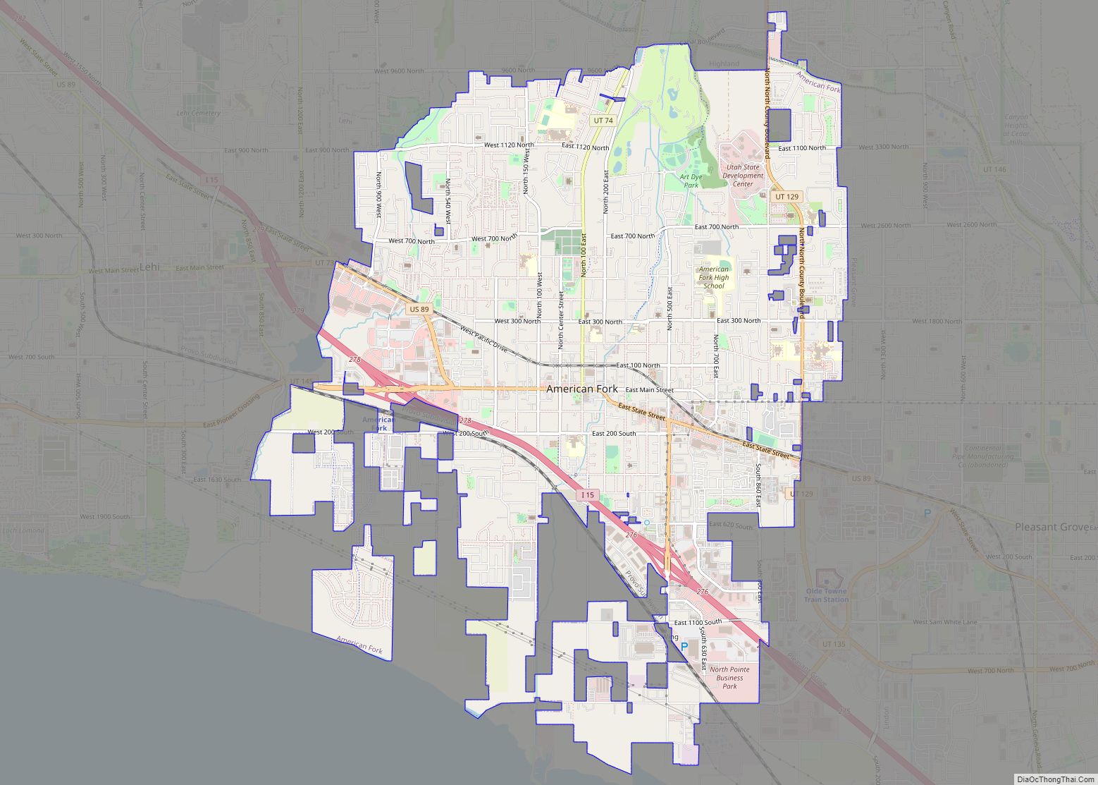
Spanish Fork Road Map
Spanish Fork city Satellite Map
See also
Map of Utah State and its subdivision: Map of other states:- Alabama
- Alaska
- Arizona
- Arkansas
- California
- Colorado
- Connecticut
- Delaware
- District of Columbia
- Florida
- Georgia
- Hawaii
- Idaho
- Illinois
- Indiana
- Iowa
- Kansas
- Kentucky
- Louisiana
- Maine
- Maryland
- Massachusetts
- Michigan
- Minnesota
- Mississippi
- Missouri
- Montana
- Nebraska
- Nevada
- New Hampshire
- New Jersey
- New Mexico
- New York
- North Carolina
- North Dakota
- Ohio
- Oklahoma
- Oregon
- Pennsylvania
- Rhode Island
- South Carolina
- South Dakota
- Tennessee
- Texas
- Utah
- Vermont
- Virginia
- Washington
- West Virginia
- Wisconsin
- Wyoming
