Carthage is a city in and the county seat of Hancock County, Illinois, United States. Its population was 2,490 as of the 2020 census. Carthage is best known for being the site of the 1844 death of Joseph Smith, who founded the Latter Day Saint movement.
| Name: | Carthage city |
|---|---|
| LSAD Code: | 25 |
| LSAD Description: | city (suffix) |
| State: | Illinois |
| County: | Hancock County |
| Founded: | 1837 |
| Elevation: | 656 ft (200 m) |
| Total Area: | 2.50 sq mi (6.46 km²) |
| Land Area: | 2.50 sq mi (6.46 km²) |
| Water Area: | 0.00 sq mi (0.00 km²) |
| Total Population: | 2,490 |
| Population Density: | 997.60/sq mi (385.16/km²) |
| ZIP code: | 62321 |
| Area code: | 217 |
| FIPS code: | 1711527 |
| GNISfeature ID: | 2393759 |
| Website: | carthage-il.com |
Online Interactive Map
Click on ![]() to view map in "full screen" mode.
to view map in "full screen" mode.
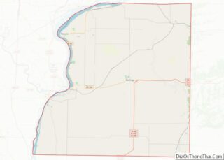
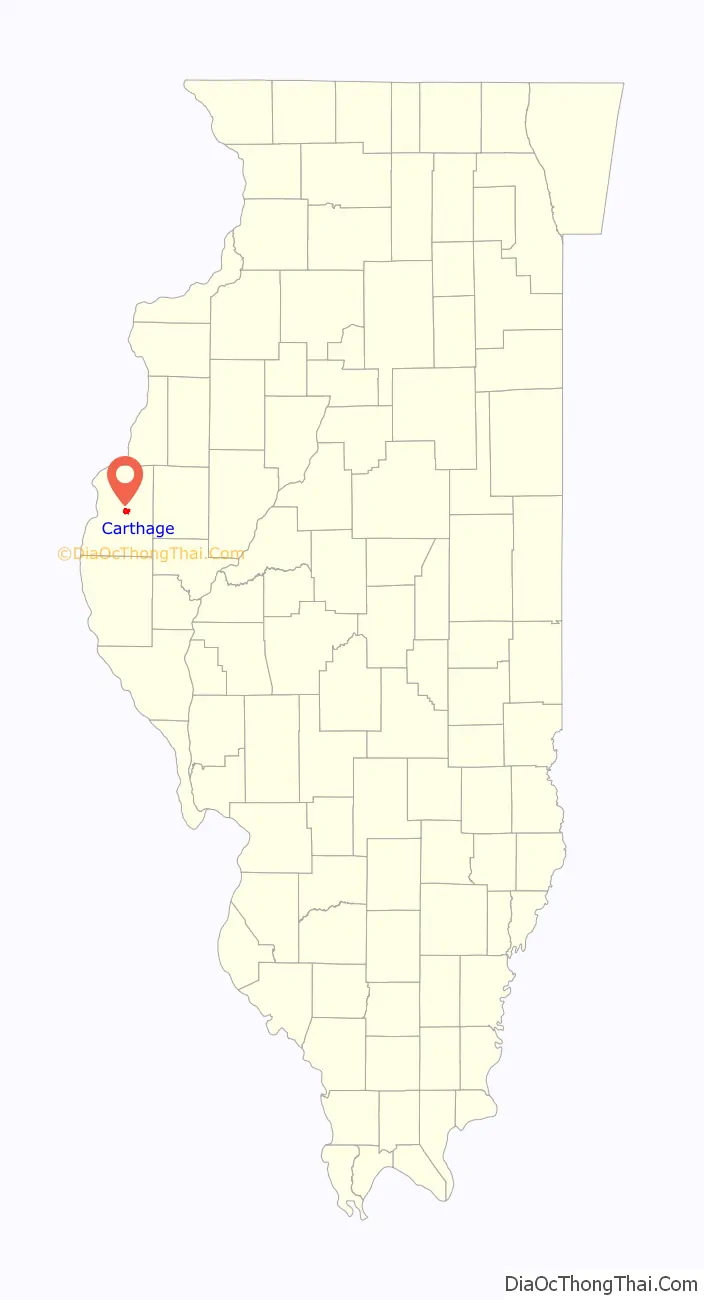
Carthage location map. Where is Carthage city?

History
The first European-American settlers arrived in Carthage and in Hancock County in the first few decades of the 19th century. By 1833, they had erected simple buildings in Carthage, and the town was platted in 1838. By then Carthage had been designated as the county seat of Hancock County.
The only person legally hanged in Hancock County, Efram Fraim, had been defended in his trial by roaming country attorney Abraham Lincoln. Fraim was found guilty of murder. Lincoln filed an appeal with the judge in the trial, which was as far as most appeals in those days went. Because Carthage then had no jail, Fraim was kept at the courthouse, which was next to the school. Fraim conversed with the children from his second-floor window. As a result of those conversations, most of the school children were present when their new friend, Efram, was hanged. The hanging is believed to have taken place near the current city sewer plant east of town, where a natural amphitheater allowed for a crowd to view the spectacle.
While they were incarcerated in the Carthage Jail in June 1844, Joseph Smith, founder of the Latter Day Saint movement, and his brother Hyrum Smith were killed by a mob on Thursday, June 27, 1844.
On October 22, 1858, Lincoln spoke in Carthage while he was campaigning for the US Senate. A large stone on the south side of the Courthouse Square commemorates the spot.
Over the years, the jail has been modified and used for different purposes. For a whole, it was home to Carthage College. The jail has been restored to a close approximation of its appearance in 1844 and is now owned by the Church of Jesus Christ of Latter-day Saints. The site, a full city block, is a historical visitor’s center.
The regionally-noted botanist, philanthropist, and traveler Dr. Alice L. Kibbe called Carthage home. Along with her personal collections, Carthage’s Kibbe Hancock Heritage Museum houses a variety of exhibits celebrating local and regional history.
Carthage is the only city in Illinois to have all of the jails that it has ever used still in existence: the old jail, called the Mormon Jail; the jail next built, which was also the heriff’s residence, is on the south side of Courthouse Square; and the new jail, which is on Highway 136 in the city’s west side.
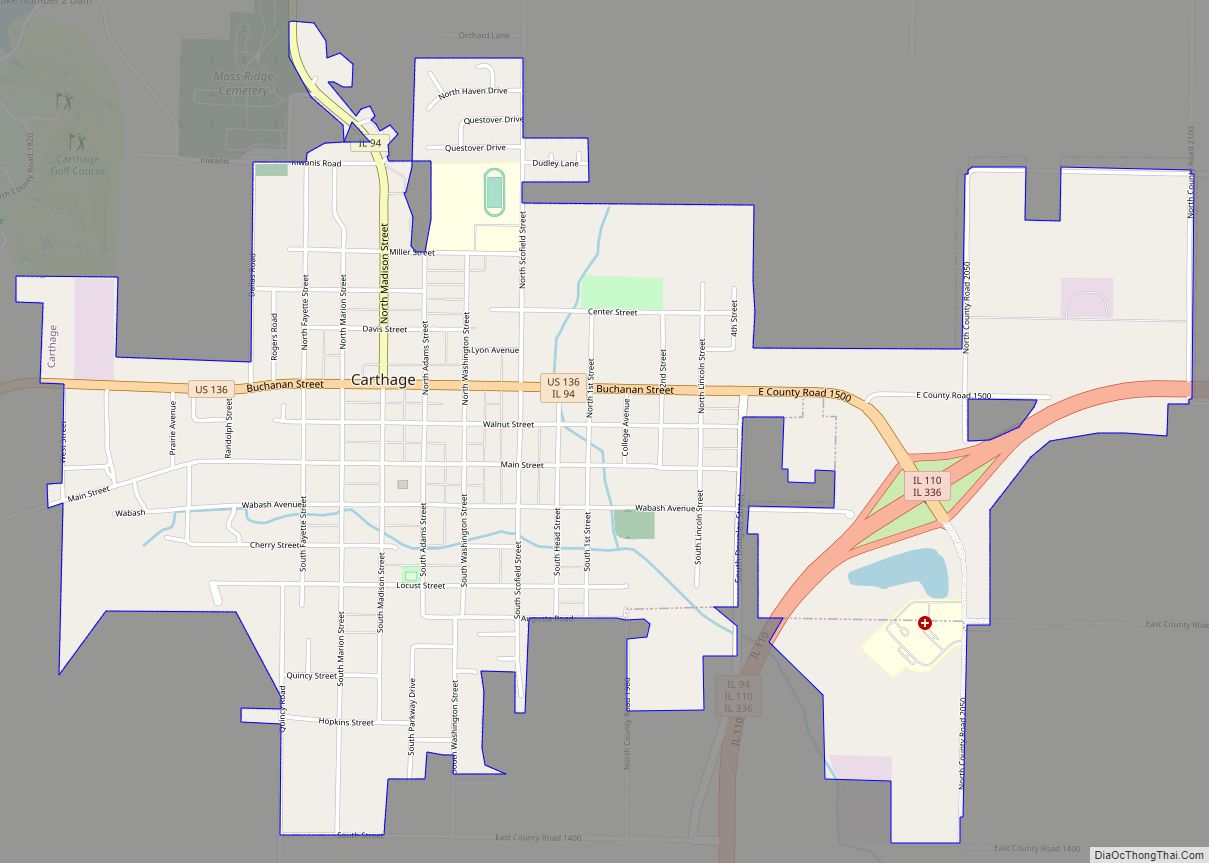
The Hancock County Courthouse in Carthage was built in 1908 and is the third courthouse for the county. It is at the center of the square in Carthage.The courthouse and the shops surrounding the square have been listed on the National Register of Historic Places since 1986.
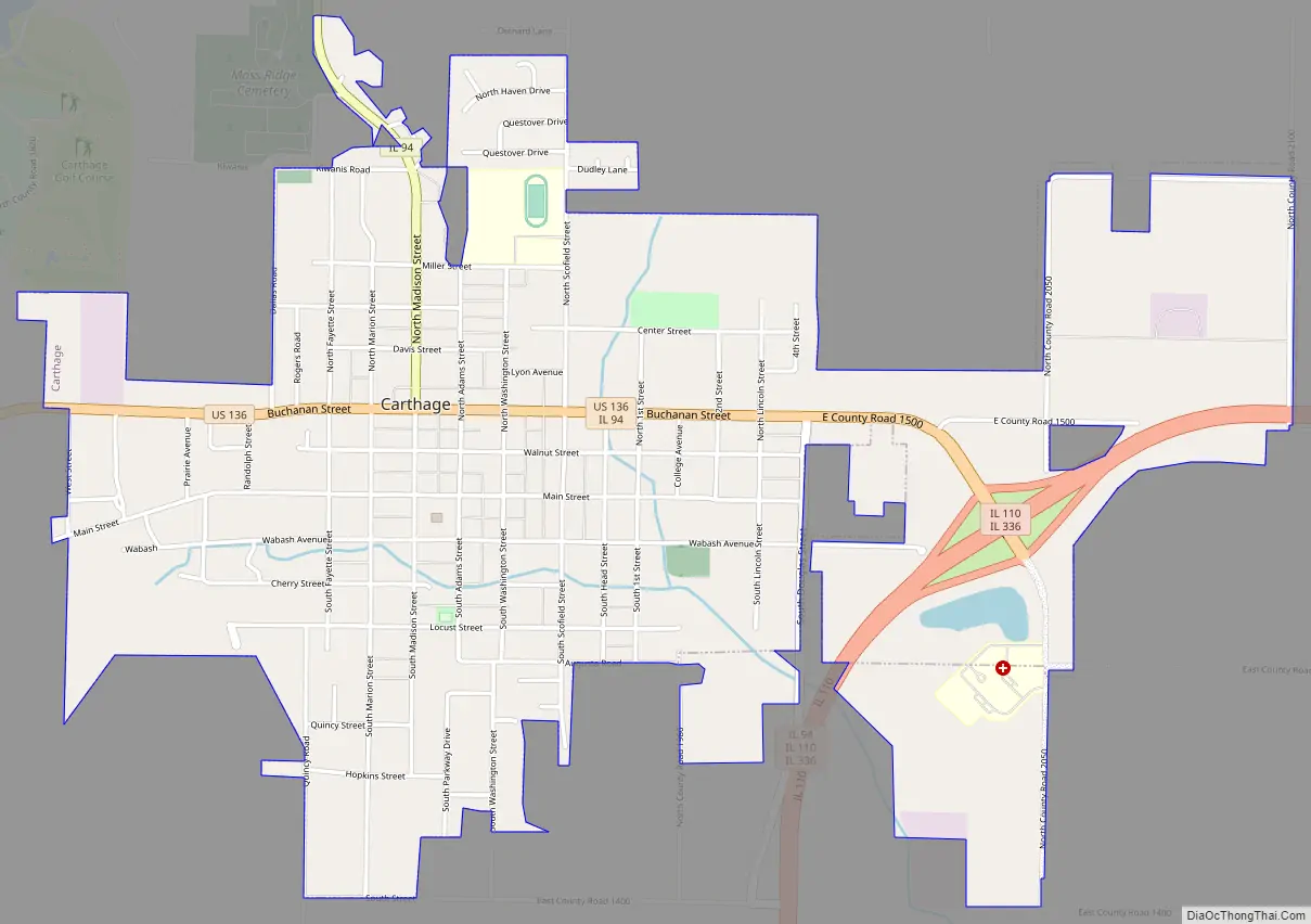
Carthage Road Map
Carthage city Satellite Map

Geography
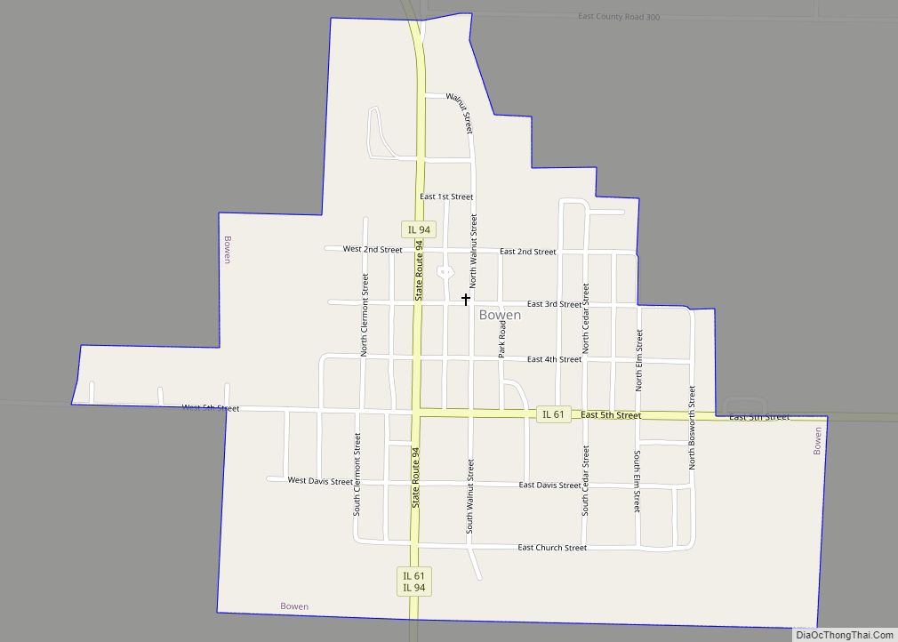
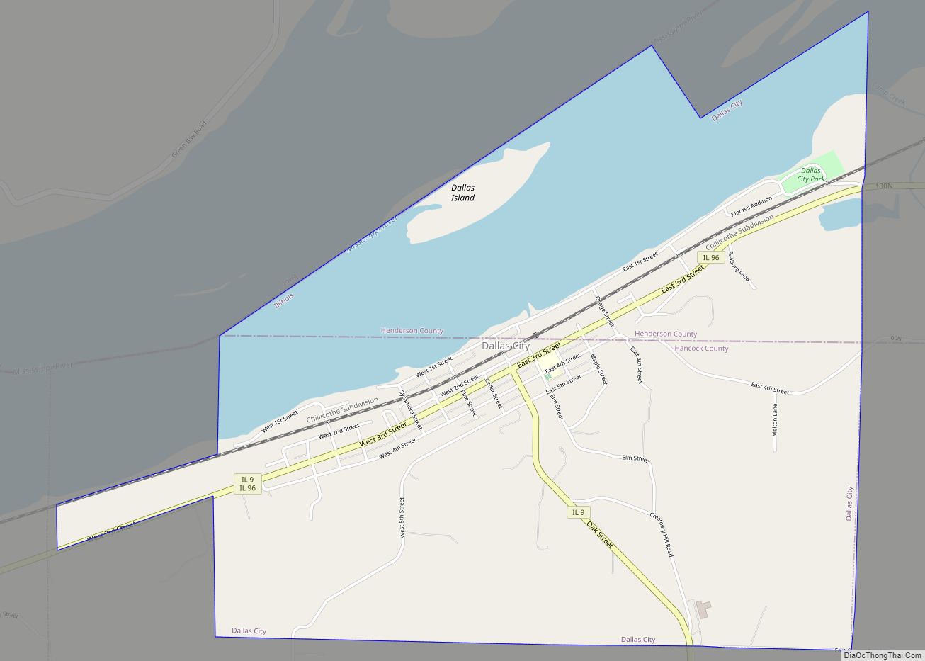
Carthage is located near the center of Hancock County at 40°24′52″N 91°8′0″W / 40.41444°N 91.13333°W / 40.41444; -91.13333 (40.414327, -91.133472). U.S. Route 136 runs through the center of town as Buchanan Street; it leads east 27 miles (43 km) to Macomb and west 14 miles (23 km) to Keokuk, Iowa, on the Mississippi River. Illinois Route 94 leads north from Carthage as Madison Street and east with US-136 to Illinois Route 110 just outside the city limits. Dallas City is 16 miles (26 km) north of Carthage via IL-94 and IL-9, while Quincy is 43 miles (69 km) south via IL-110.
According to the 2010 census, the city has an area of 2.44 square miles (6.3 km), all land.
In June 2006, development property on the east side of Carthage was voluntarily annexed into the city limits. This property totaled approximately .43 square miles (1.1 km), all land except for an 8 acres (32,000 m) lake.
See also
Map of Illinois State and its subdivision:- Adams
- Alexander
- Bond
- Boone
- Brown
- Bureau
- Calhoun
- Carroll
- Cass
- Champaign
- Christian
- Clark
- Clay
- Clinton
- Coles
- Cook
- Crawford
- Cumberland
- De Kalb
- De Witt
- Douglas
- Dupage
- Edgar
- Edwards
- Effingham
- Fayette
- Ford
- Franklin
- Fulton
- Gallatin
- Greene
- Grundy
- Hamilton
- Hancock
- Hardin
- Henderson
- Henry
- Iroquois
- Jackson
- Jasper
- Jefferson
- Jersey
- Jo Daviess
- Johnson
- Kane
- Kankakee
- Kendall
- Knox
- La Salle
- Lake
- Lake Michigan
- Lawrence
- Lee
- Livingston
- Logan
- Macon
- Macoupin
- Madison
- Marion
- Marshall
- Mason
- Massac
- McDonough
- McHenry
- McLean
- Menard
- Mercer
- Monroe
- Montgomery
- Morgan
- Moultrie
- Ogle
- Peoria
- Perry
- Piatt
- Pike
- Pope
- Pulaski
- Putnam
- Randolph
- Richland
- Rock Island
- Saint Clair
- Saline
- Sangamon
- Schuyler
- Scott
- Shelby
- Stark
- Stephenson
- Tazewell
- Union
- Vermilion
- Wabash
- Warren
- Washington
- Wayne
- White
- Whiteside
- Will
- Williamson
- Winnebago
- Woodford
- Alabama
- Alaska
- Arizona
- Arkansas
- California
- Colorado
- Connecticut
- Delaware
- District of Columbia
- Florida
- Georgia
- Hawaii
- Idaho
- Illinois
- Indiana
- Iowa
- Kansas
- Kentucky
- Louisiana
- Maine
- Maryland
- Massachusetts
- Michigan
- Minnesota
- Mississippi
- Missouri
- Montana
- Nebraska
- Nevada
- New Hampshire
- New Jersey
- New Mexico
- New York
- North Carolina
- North Dakota
- Ohio
- Oklahoma
- Oregon
- Pennsylvania
- Rhode Island
- South Carolina
- South Dakota
- Tennessee
- Texas
- Utah
- Vermont
- Virginia
- Washington
- West Virginia
- Wisconsin
- Wyoming