West Bountiful is a city in Davis County, Utah, United States. It is part of the Ogden–Clearfield, Utah Metropolitan Statistical Area. The population was 5,265 at the 2010 census, with an estimated population of 5,731 in 2018.
| Name: | West Bountiful city |
|---|---|
| LSAD Code: | 25 |
| LSAD Description: | city (suffix) |
| State: | Utah |
| County: | Davis County |
| Incorporated: | January 28, 1949 |
| Elevation: | 4,268 ft (1,301 m) |
| Total Area: | 3.32 sq mi (8.59 km²) |
| Land Area: | 3.31 sq mi (8.56 km²) |
| Water Area: | 0.01 sq mi (0.03 km²) |
| Total Population: | 5,265 |
| Population Density: | 1,754.92/sq mi (677.57/km²) |
| ZIP code: | 84087 |
| Area code: | 385, 801 |
| FIPS code: | 4982840 |
| GNISfeature ID: | 1447113 |
| Website: | wbcity.org |
Online Interactive Map
Click on ![]() to view map in "full screen" mode.
to view map in "full screen" mode.
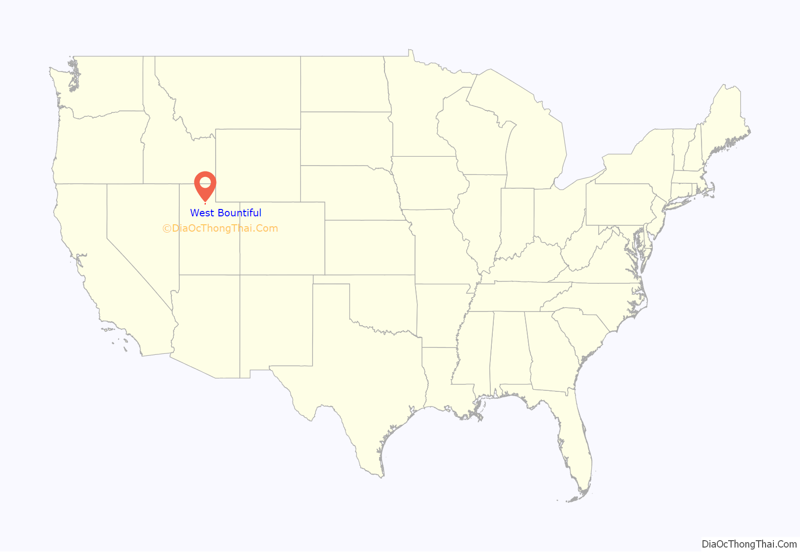
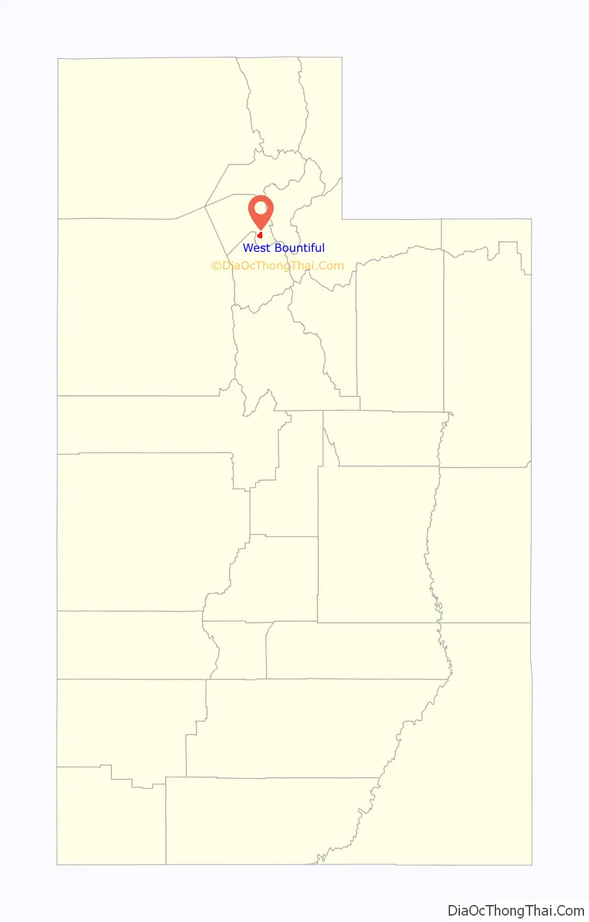
West Bountiful location map. Where is West Bountiful city?
History
West Bountiful was founded in 1848 by James Fackrell, Sr., a Mormon pioneer. Born in North Petherton, Somersetshire, England, in 1787, Fackrell immigrated to the United States, and after crossing the plains in 1848 with his family, settled in West Bountiful with his wife Amy Crumb.
West Bountiful was incorporated as a town on January 28, 1949, and became a third-class city on November 12, 1962.
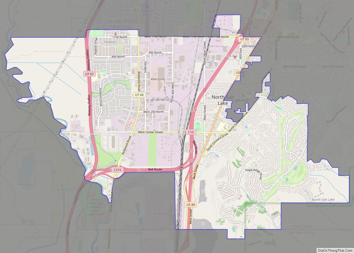
West Bountiful Road Map
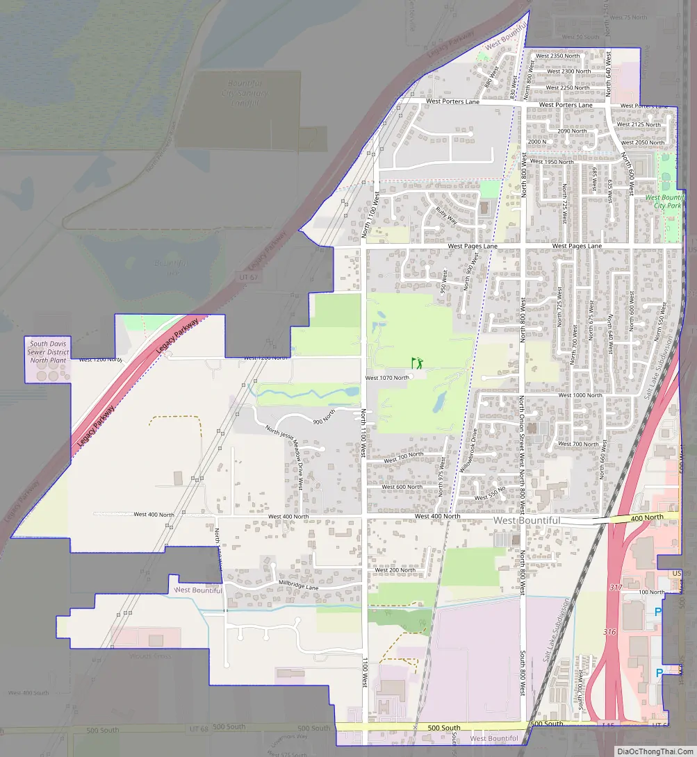
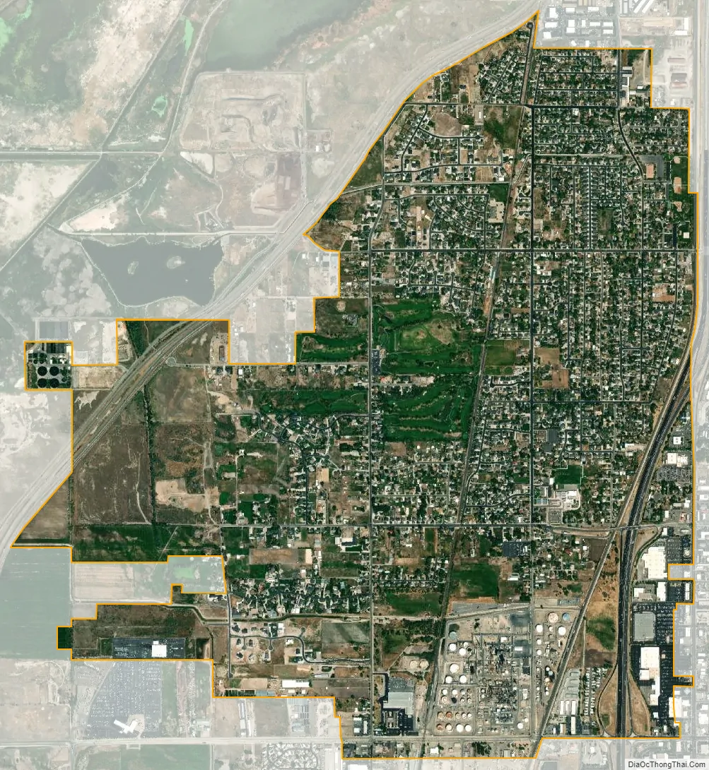
West Bountiful city Satellite Map
Geography
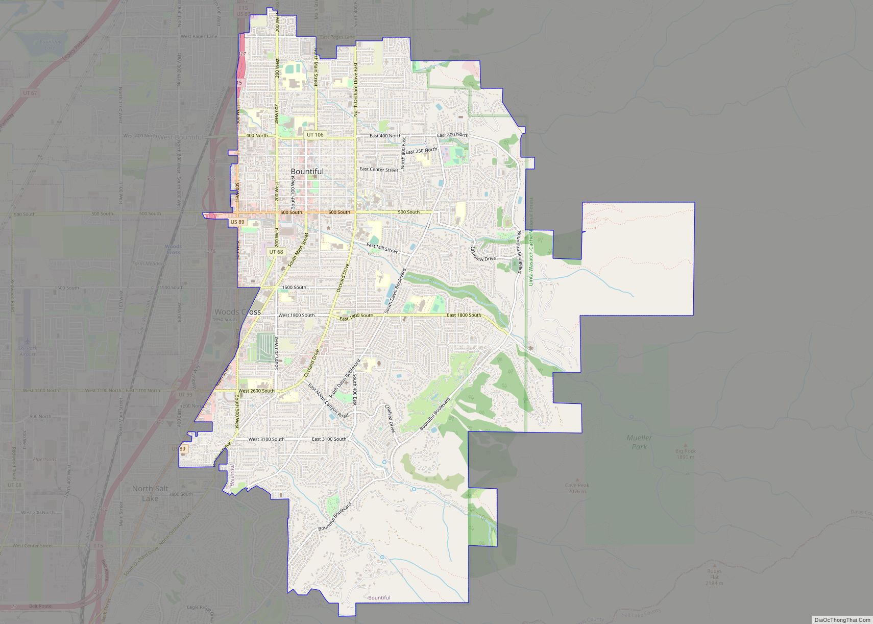
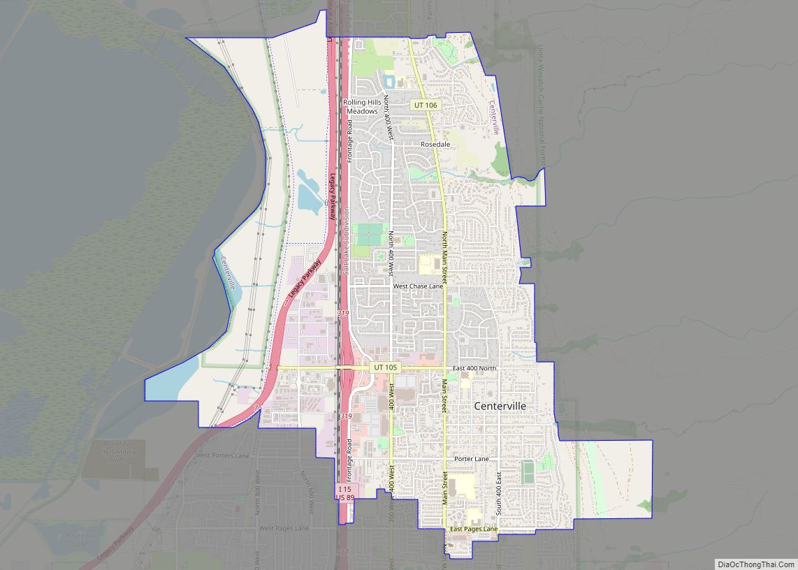
West Bountiful is located in southeastern Davis County and is bordered by Centerville to the north, Bountiful to the east, Woods Cross to the south, and Legacy Nature Preserve to the west. Interstate 15 passes through the eastern part of the city, with access from Exits 316 and 317. Downtown Salt Lake City is 11 miles (18 km) to the south.
According to the United States Census Bureau, West Bountiful has a total area of 3.2 square miles (8.4 km), of which 0.01 square miles (0.03 km), or 0.36%, is water.
See also
Map of Utah State and its subdivision: Map of other states:- Alabama
- Alaska
- Arizona
- Arkansas
- California
- Colorado
- Connecticut
- Delaware
- District of Columbia
- Florida
- Georgia
- Hawaii
- Idaho
- Illinois
- Indiana
- Iowa
- Kansas
- Kentucky
- Louisiana
- Maine
- Maryland
- Massachusetts
- Michigan
- Minnesota
- Mississippi
- Missouri
- Montana
- Nebraska
- Nevada
- New Hampshire
- New Jersey
- New Mexico
- New York
- North Carolina
- North Dakota
- Ohio
- Oklahoma
- Oregon
- Pennsylvania
- Rhode Island
- South Carolina
- South Dakota
- Tennessee
- Texas
- Utah
- Vermont
- Virginia
- Washington
- West Virginia
- Wisconsin
- Wyoming