West Point is a city in Davis County, Utah, United States. It is part of the Ogden–Clearfield, Utah Metropolitan Statistical Area. The population was 9,511 at the 2010 census, up from 6,033 in 2000. The estimated population in 2019 was 10,957. The city has experienced quick growth centered primarily around single-family residential construction.
West Point was first settled in March 1867. The community was named after the United States Military Academy at West Point. Before it was incorporated, the region was informally called “South Hooper” and “Muskrat Springs”.
| Name: | West Point city |
|---|---|
| LSAD Code: | 25 |
| LSAD Description: | city (suffix) |
| State: | Utah |
| County: | Davis County |
| Incorporated: | 1935 |
| Elevation: | 4,314 ft (1,315 m) |
| Total Area: | 7.14 sq mi (18.50 km²) |
| Land Area: | 7.11 sq mi (18.43 km²) |
| Water Area: | 0.03 sq mi (0.07 km²) |
| Total Population: | 9,511 |
| Population Density: | 1,540.20/sq mi (594.64/km²) |
| ZIP code: | 84015 |
| Area code: | 385, 801 |
| FIPS code: | 4983390 |
| GNISfeature ID: | 1434108 |
| Website: | westpointcity.org |
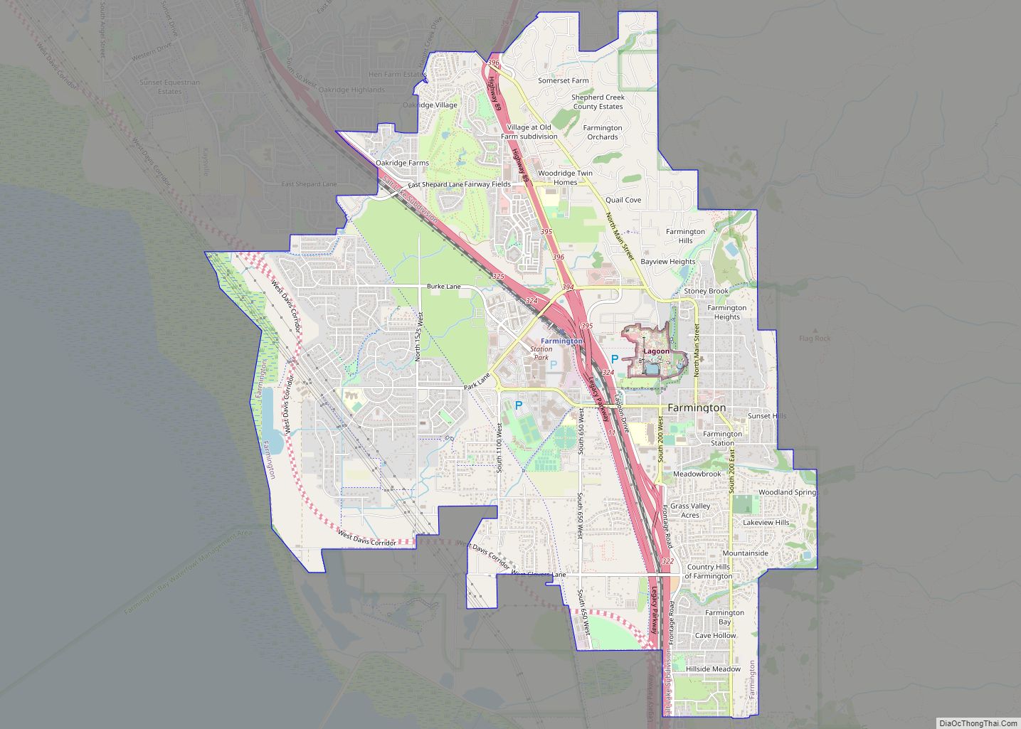
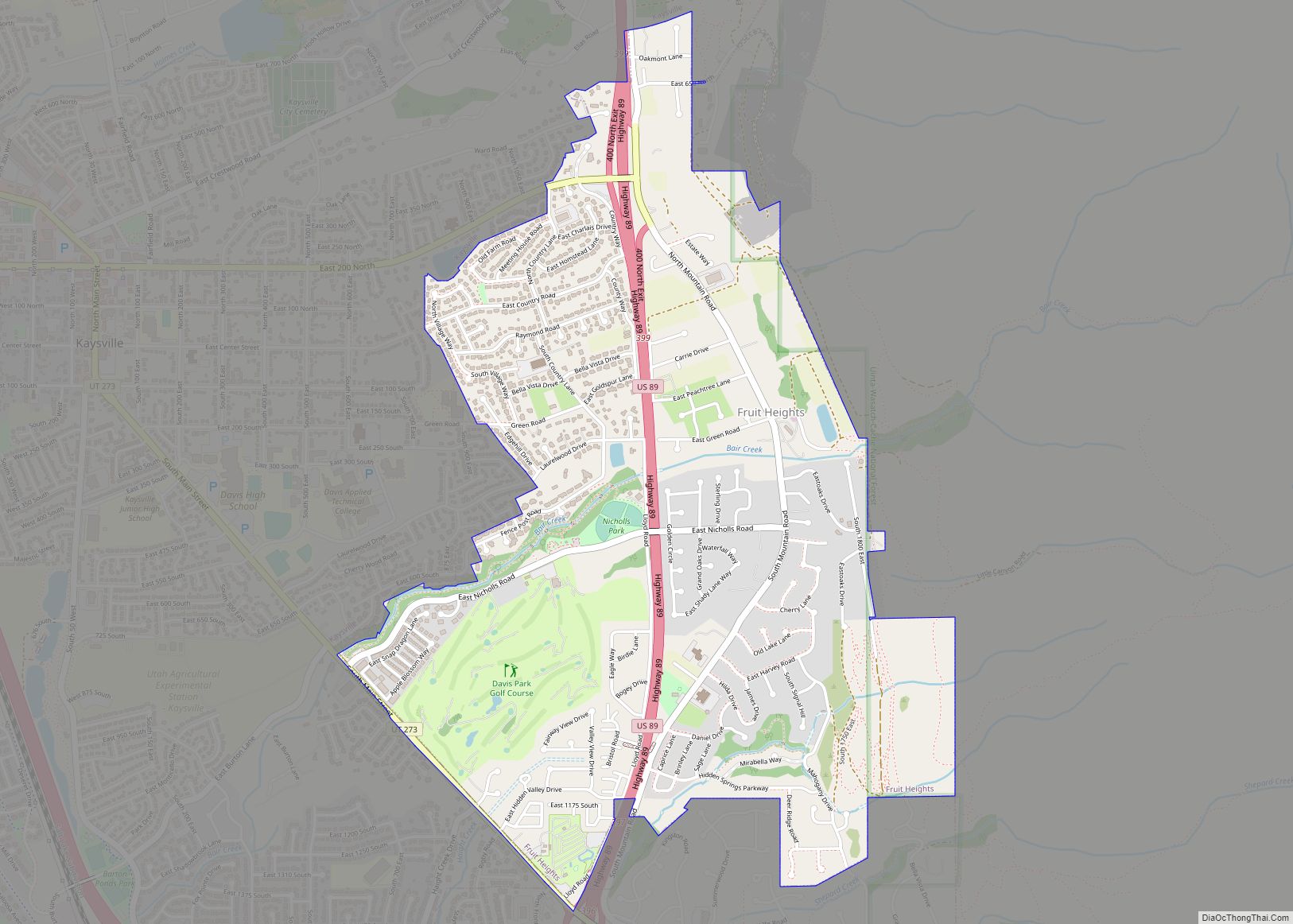
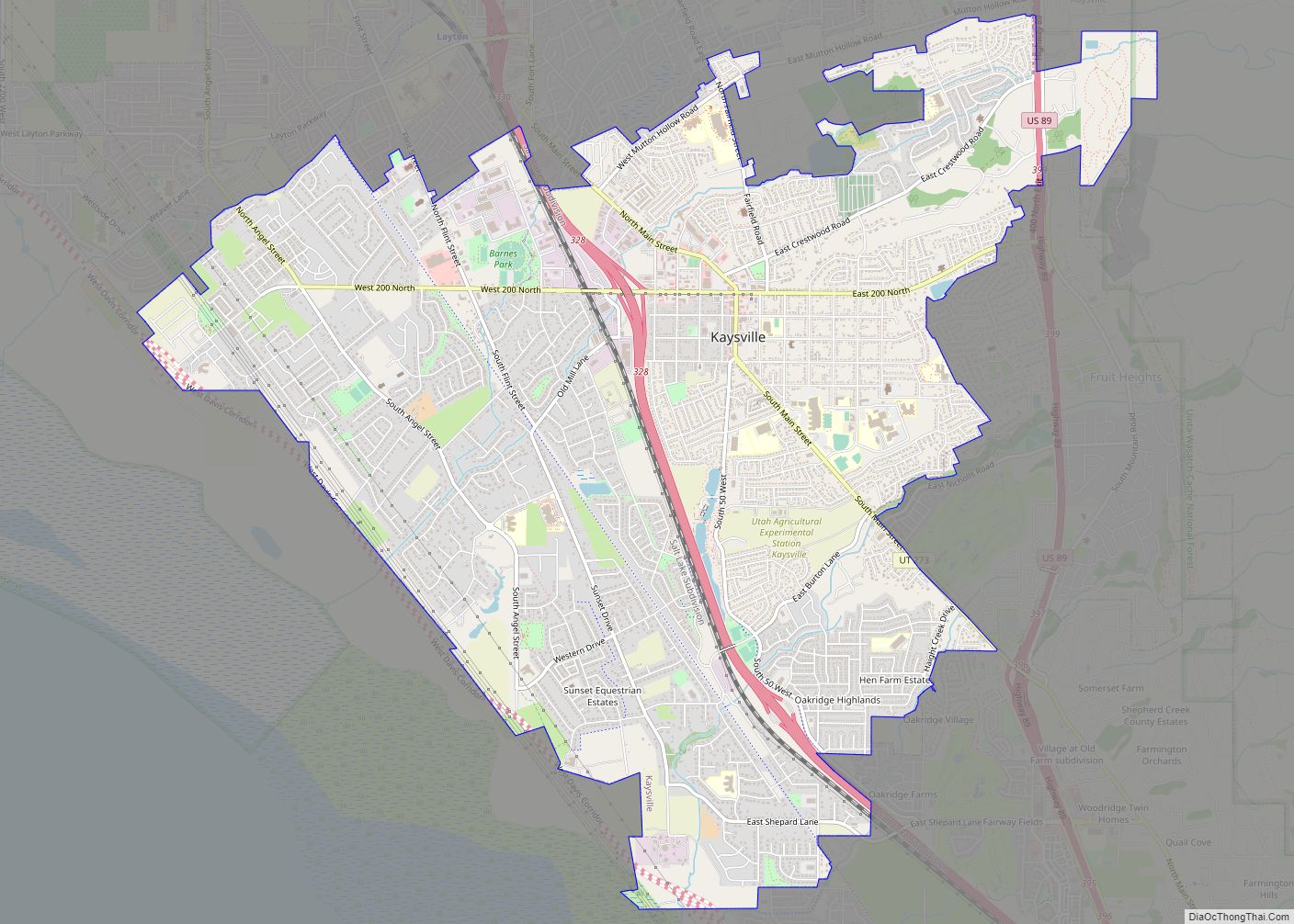
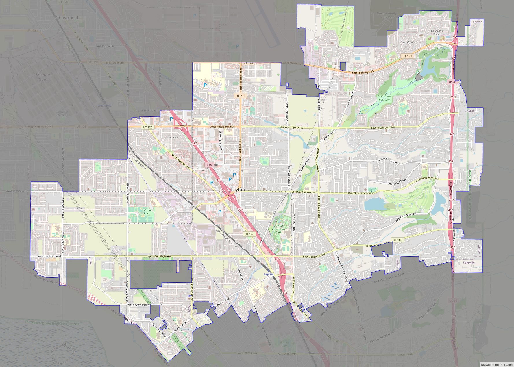
Online Interactive Map
Click on ![]() to view map in "full screen" mode.
to view map in "full screen" mode.
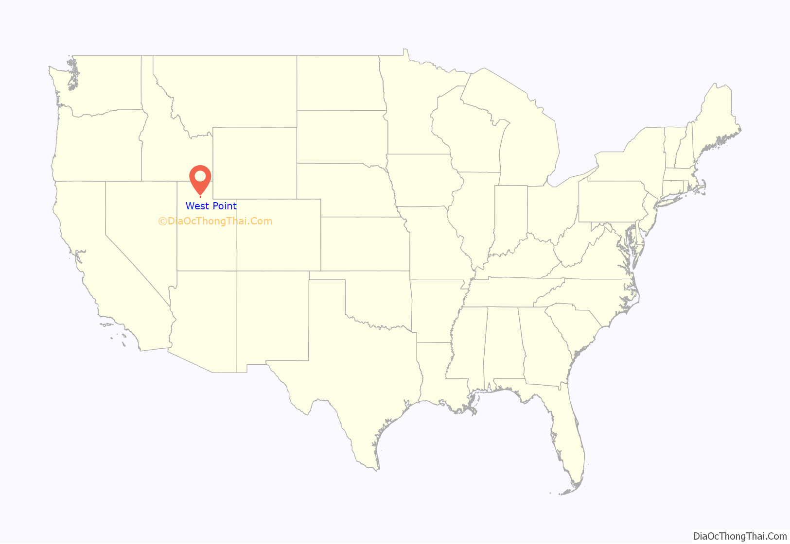
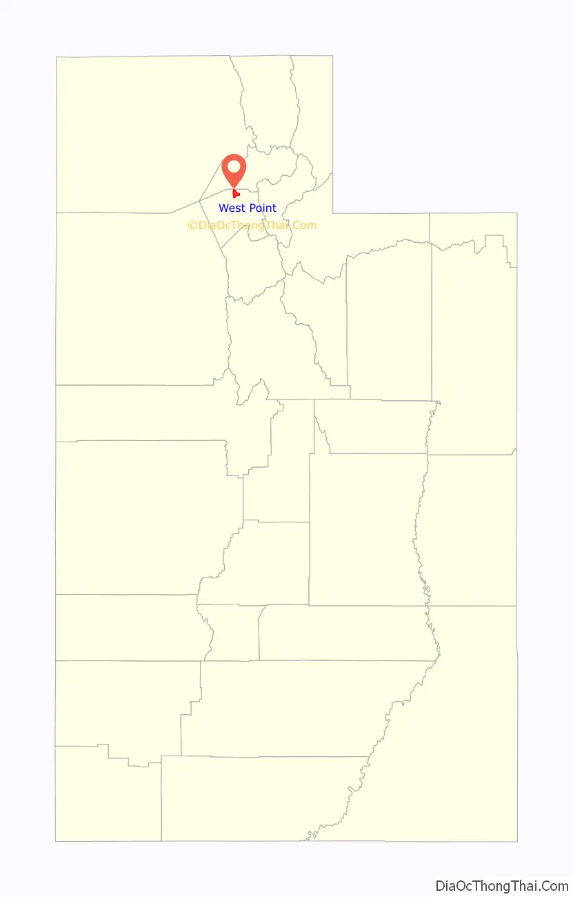
West Point location map. Where is West Point city?
West Point Road Map
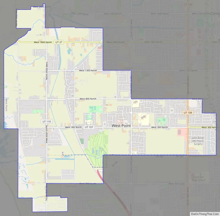
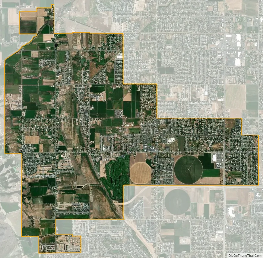
West Point city Satellite Map
Geography
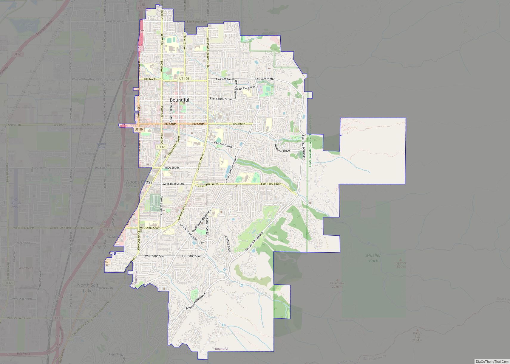
West Point is located along the eastern shoreline of the Great Salt Lake, and an extensive network of wetlands is strung along the western boundaries. These areas are essential to migrating birds.
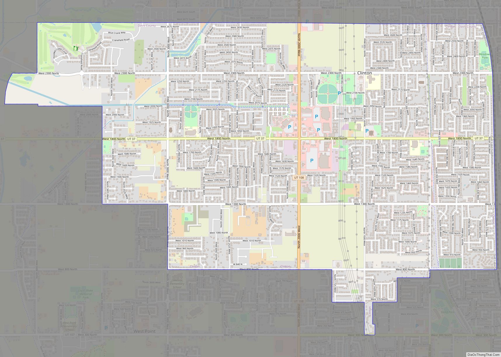
The cities of Clinton and Hooper are located to the north, Clearfield is to the east, and the city of Syracuse is to the south.
According to the United States Census Bureau, the city has a total area of 7.3 square miles (19.0 km), of which 7.3 square miles (18.9 km) is land and 0.04 square miles (0.1 km), or 0.55%, is water. The official annexation policy plan of the city would allow for the city to add a few more square miles to its territory. This area is located in the northwest corner of Davis County and is currently unincorporated.
See also
Map of Utah State and its subdivision: Map of other states:- Alabama
- Alaska
- Arizona
- Arkansas
- California
- Colorado
- Connecticut
- Delaware
- District of Columbia
- Florida
- Georgia
- Hawaii
- Idaho
- Illinois
- Indiana
- Iowa
- Kansas
- Kentucky
- Louisiana
- Maine
- Maryland
- Massachusetts
- Michigan
- Minnesota
- Mississippi
- Missouri
- Montana
- Nebraska
- Nevada
- New Hampshire
- New Jersey
- New Mexico
- New York
- North Carolina
- North Dakota
- Ohio
- Oklahoma
- Oregon
- Pennsylvania
- Rhode Island
- South Carolina
- South Dakota
- Tennessee
- Texas
- Utah
- Vermont
- Virginia
- Washington
- West Virginia
- Wisconsin
- Wyoming