Syracuse is a city in Davis County, Utah, United States. It is situated between the Great Salt Lake and Interstate 15, about 30 miles (48 km) north of Salt Lake City. It is part of the Ogden–Clearfield, Utah Metropolitan Statistical Area. The city has seen rapid growth and development since the 1990s. The city population was 24,331 at the time of the 2010 census, an increase of 158.9% since the 2000 census.
While settlers have populated the area since the mid 1800s, Syracuse was incorporated on September 3, 1935. The city was named by early settlers for Syracuse, New York, which was famed for its salt production in the 19th century.
| Name: | Syracuse city |
|---|---|
| LSAD Code: | 25 |
| LSAD Description: | city (suffix) |
| State: | Utah |
| County: | Davis County |
| Incorporated: | September 3, 1935 |
| Elevation: | 4,285 ft (1,306 m) |
| Total Area: | 10.18 sq mi (26.37 km²) |
| Land Area: | 10.18 sq mi (26.35 km²) |
| Water Area: | 0.01 sq mi (0.02 km²) |
| Total Population: | 24,331 |
| Population Density: | 3,091.39/sq mi (1,193.63/km²) |
| ZIP code: | 84075 |
| Area code: | 385, 801 |
| FIPS code: | 4974810 |
| GNISfeature ID: | 1433147 |
| Website: | www.syracuseut.com |
Online Interactive Map
Click on ![]() to view map in "full screen" mode.
to view map in "full screen" mode.
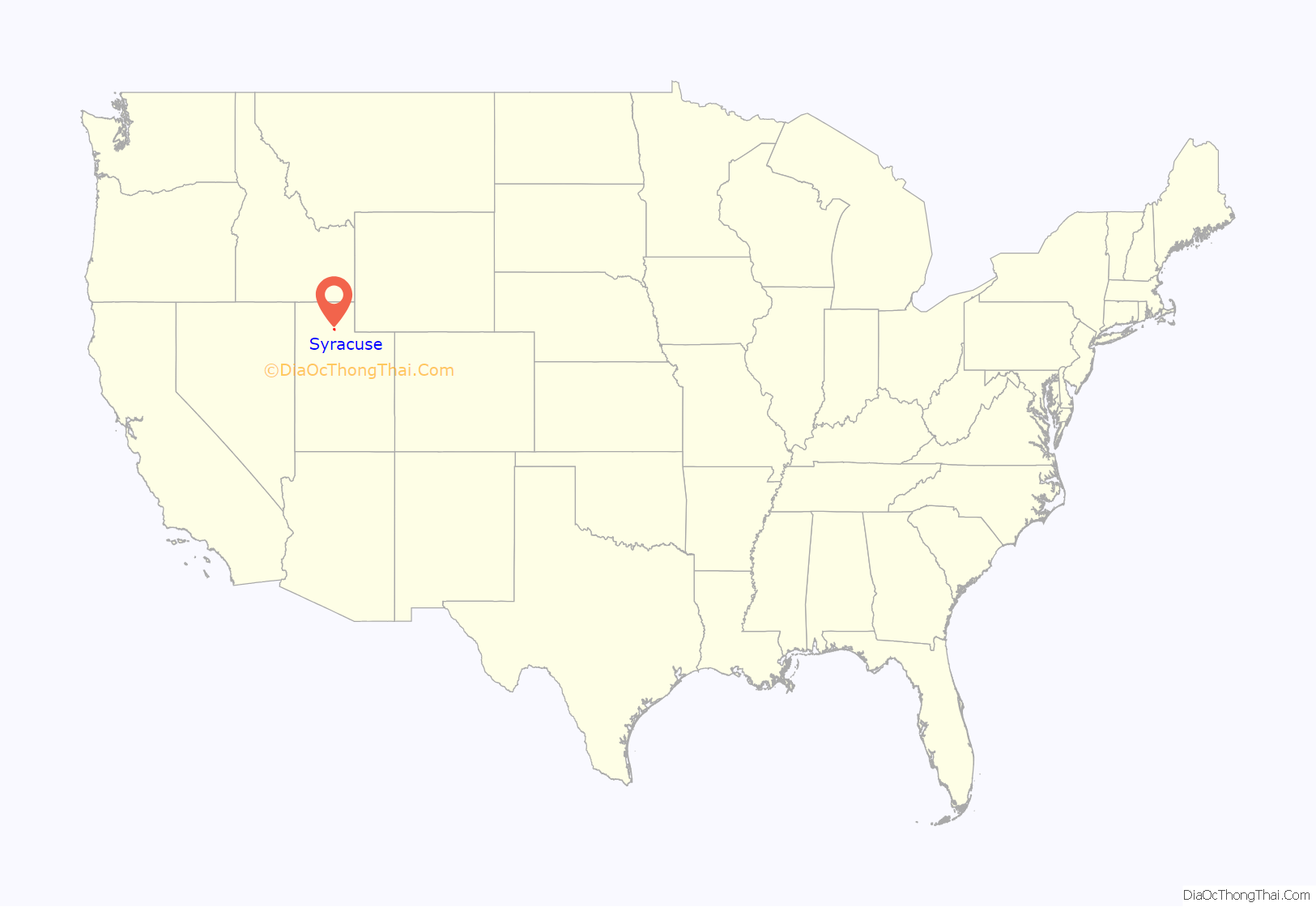
Syracuse location map. Where is Syracuse city?
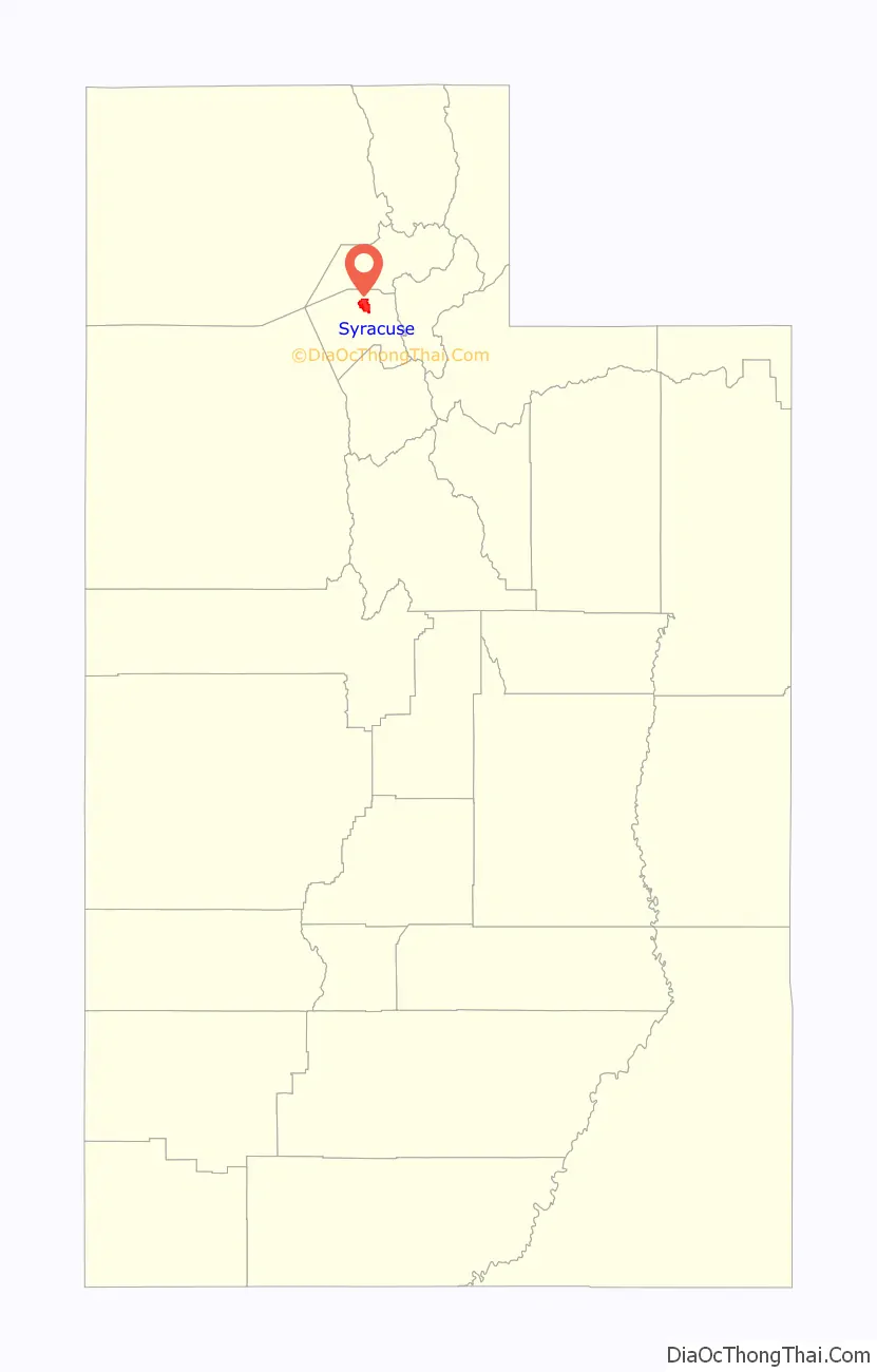
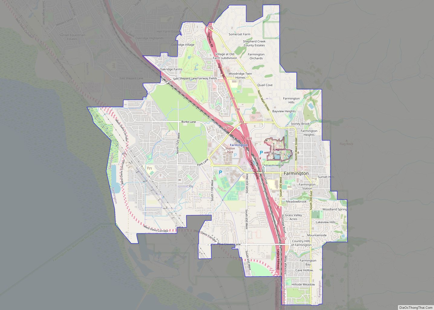
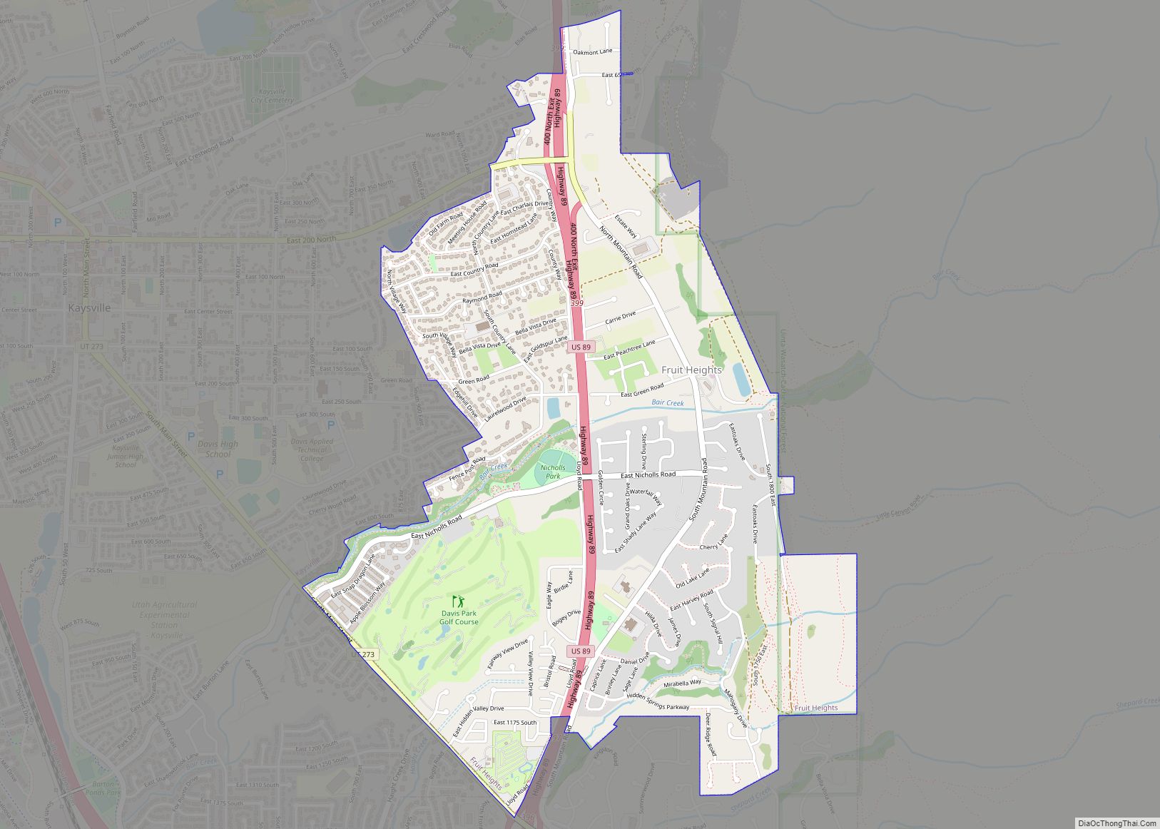
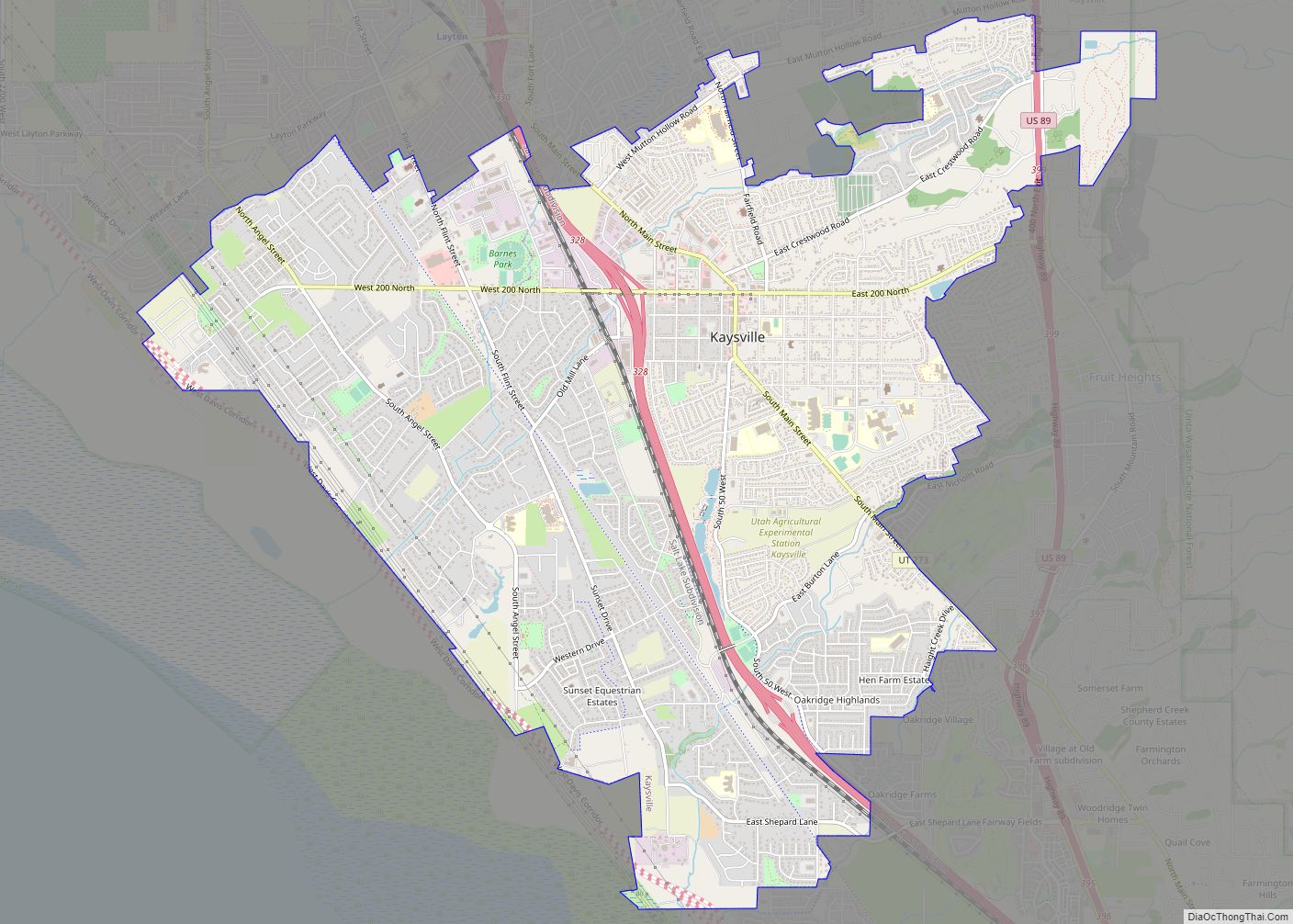
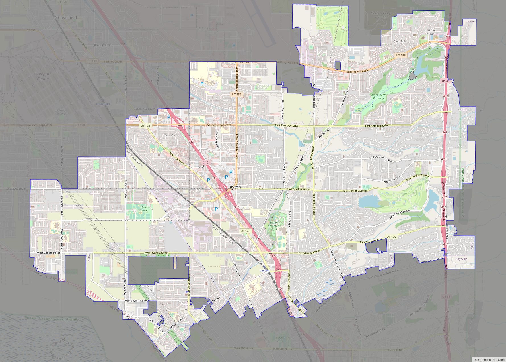
Syracuse Road Map
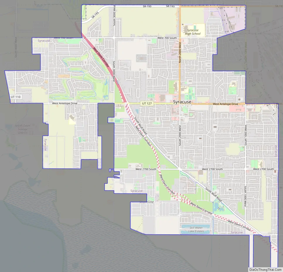
Syracuse city Satellite Map

Geography
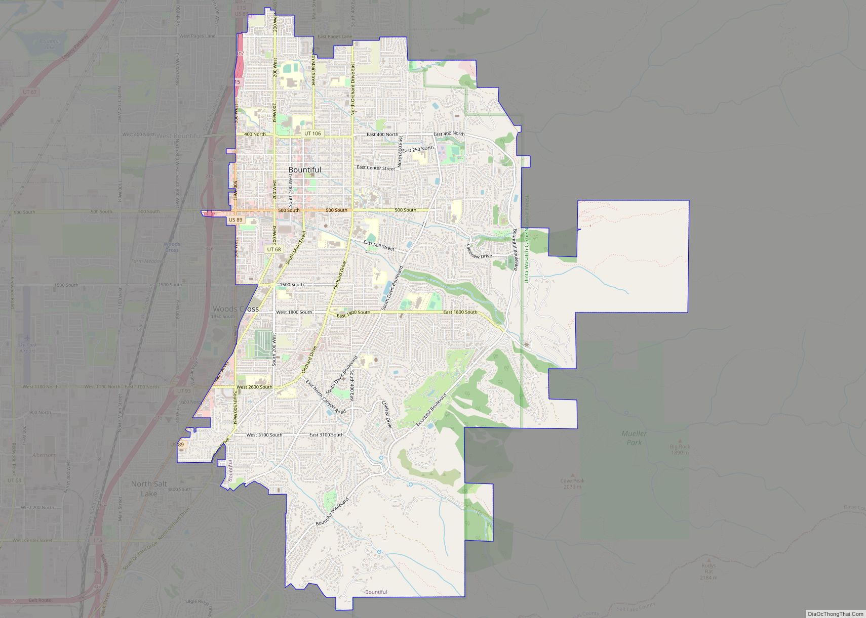
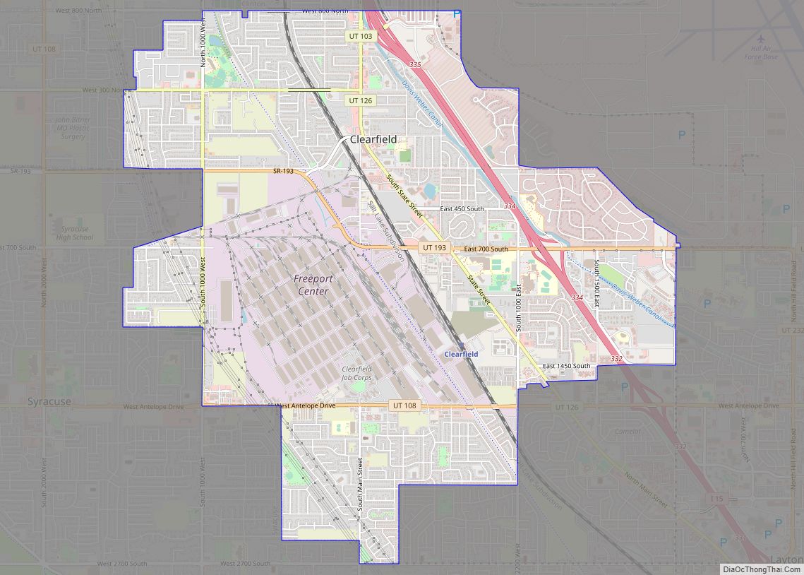
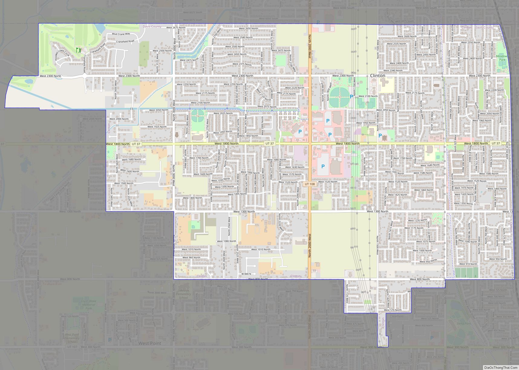
The city is located in northern Davis County on the eastern side of the Great Salt Lake. It is bordered to the north by West Point, to the northeast and east by Clearfield, and to the southeast by Layton. A causeway on SR 127 connects Syracuse to Antelope Island State Park in the Great Salt Lake.
According to the United States Census Bureau, Syracuse has a total area of 9.6 square miles (24.8 km), of which 0.01 square miles (0.015 km), or 0.06%, are water.
Climate
According to the Köppen climate classification, Syracuse experiences either a Mediterranean climate (Csa) or a dry-summer continental climate (Dsa) depending on which variant of the system is used. Summers are hot and relatively dry, with highs frequently reaching 95 °F (35 °C), with a few days per year reaching 100 °F (38 °C). Rain is provided in the form of infrequent thunderstorms during summer, usually between late July and mid-September during the height of monsoon season. The Pacific storm season usually lasts from about October through May, with precipitation reaching its peak in spring. Snow usually first occurs in late October or early November, with the last occurring sometime in April. Winters are cool and snowy, with highs averaging 36 °F (2 °C) in January. Snowfall averages about 39 inches (99 cm), with approximately 27.41 inches (696 mm) of precipitation annually. Extremes range from −16 °F (−27 °C), set on January 26, 1949, to 106 °F (41 °C), set on July 14, 2002.
See also
Map of Utah State and its subdivision: Map of other states:- Alabama
- Alaska
- Arizona
- Arkansas
- California
- Colorado
- Connecticut
- Delaware
- District of Columbia
- Florida
- Georgia
- Hawaii
- Idaho
- Illinois
- Indiana
- Iowa
- Kansas
- Kentucky
- Louisiana
- Maine
- Maryland
- Massachusetts
- Michigan
- Minnesota
- Mississippi
- Missouri
- Montana
- Nebraska
- Nevada
- New Hampshire
- New Jersey
- New Mexico
- New York
- North Carolina
- North Dakota
- Ohio
- Oklahoma
- Oregon
- Pennsylvania
- Rhode Island
- South Carolina
- South Dakota
- Tennessee
- Texas
- Utah
- Vermont
- Virginia
- Washington
- West Virginia
- Wisconsin
- Wyoming