Hazel Dell is an unincorporated area and census-designated place (CDP) in Clark County, Washington, United States, located north and west of Vancouver. As of the 2010 census the population was 19,435. Previous censuses divided the community into two areas, Hazel Dell North and Hazel Dell South.
| Name: | Hazel Dell CDP |
|---|---|
| LSAD Code: | 57 |
| LSAD Description: | CDP (suffix) |
| State: | Washington |
| County: | Clark County |
| Elevation: | 205 ft (62 m) |
| Total Area: | 4.85 sq mi (12.56 km²) |
| Land Area: | 4.84 sq mi (12.53 km²) |
| Water Area: | 0.01 sq mi (0.03 km²) |
| Total Population: | 19,435 |
| Population Density: | 4,017/sq mi (1,551.0/km²) |
| FIPS code: | 5330305 |
| GNISfeature ID: | 1512285 |
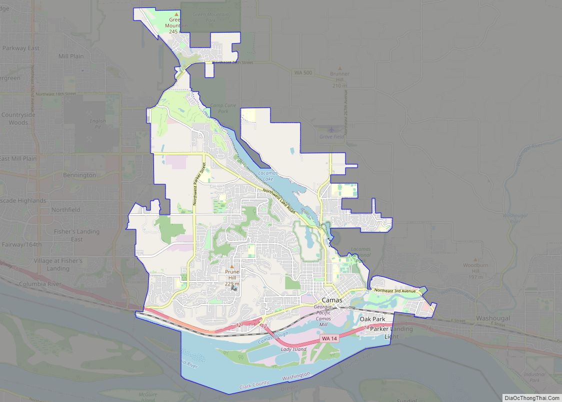
Online Interactive Map
Click on ![]() to view map in "full screen" mode.
to view map in "full screen" mode.
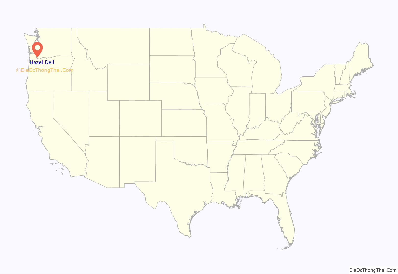
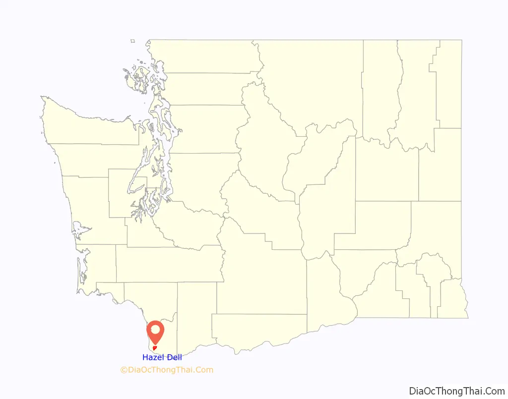
Hazel Dell location map. Where is Hazel Dell CDP?
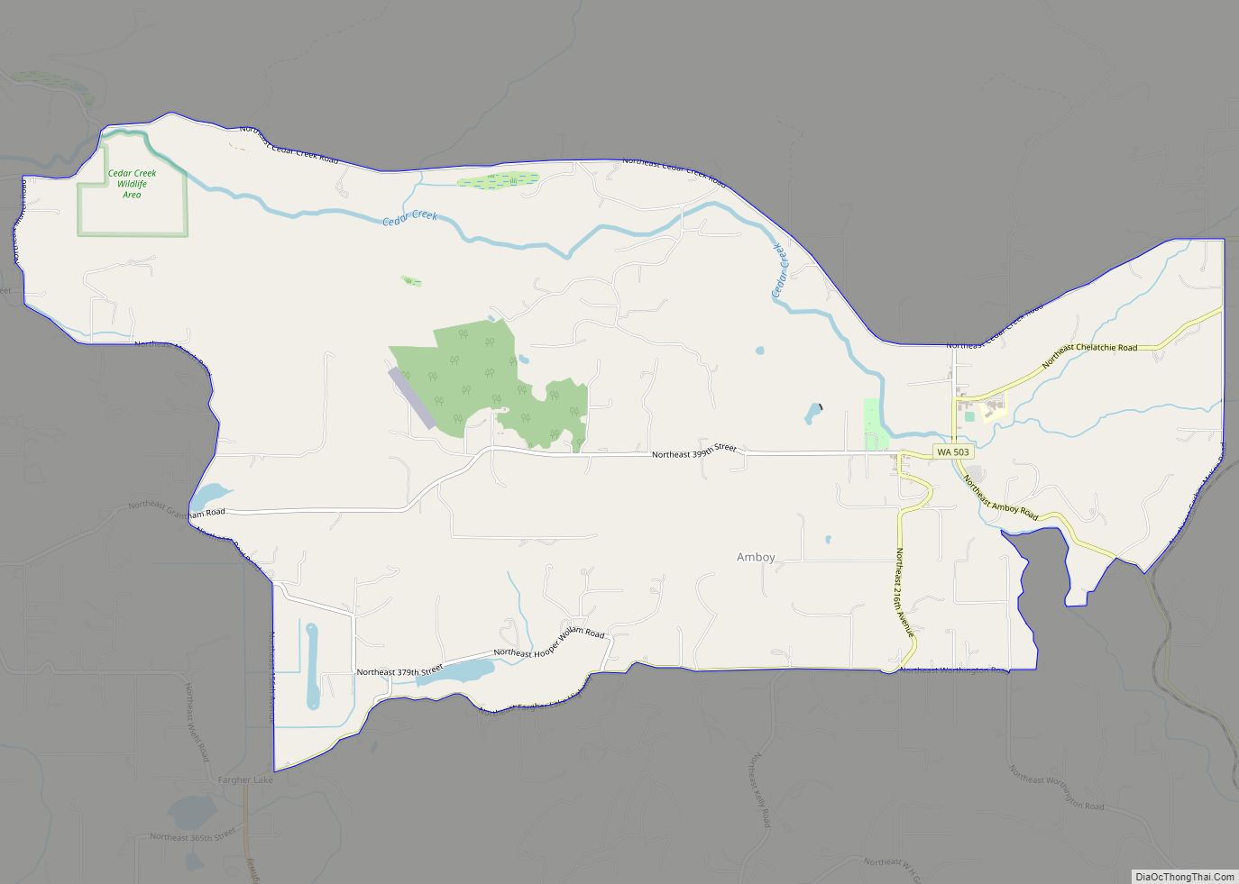
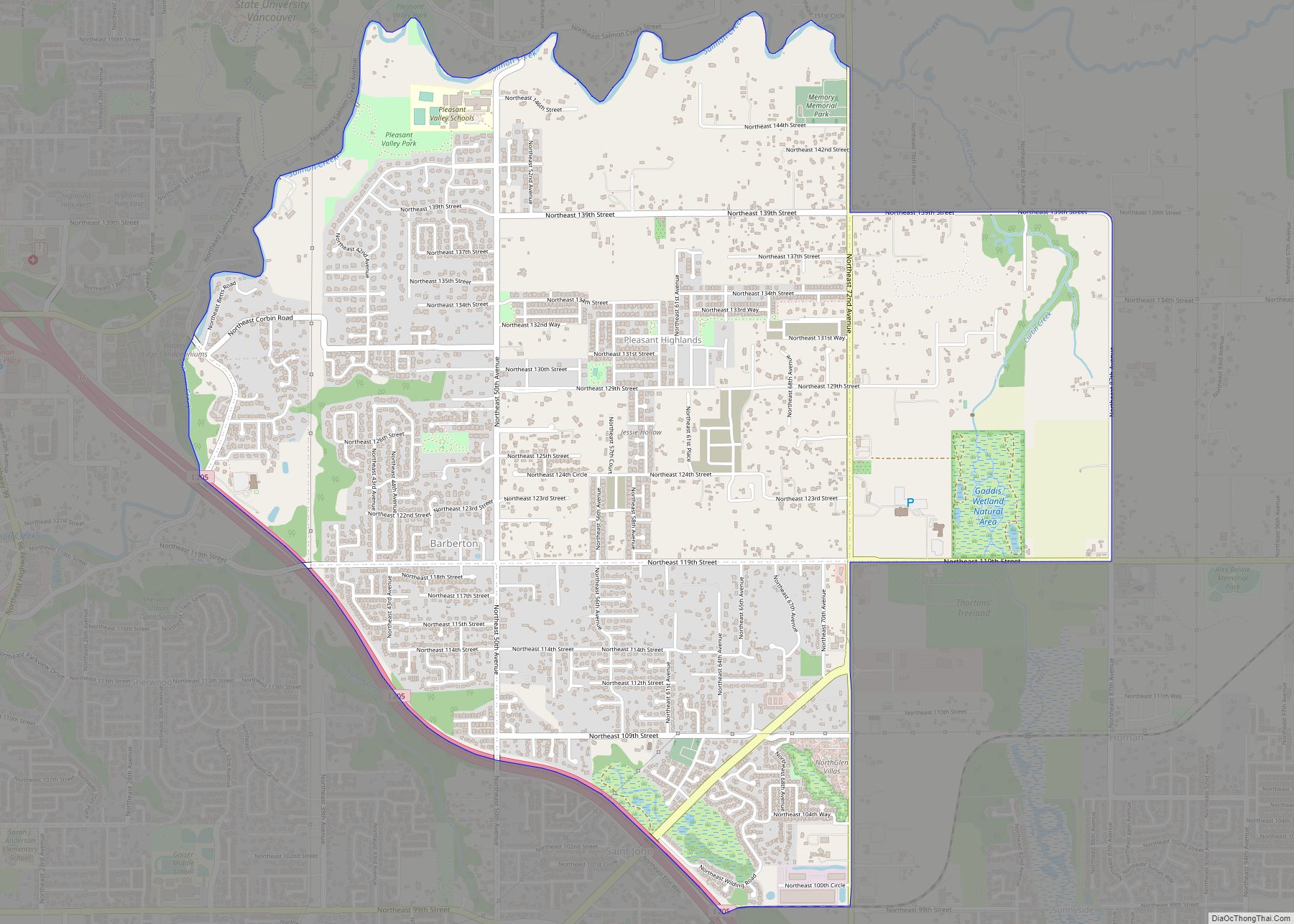
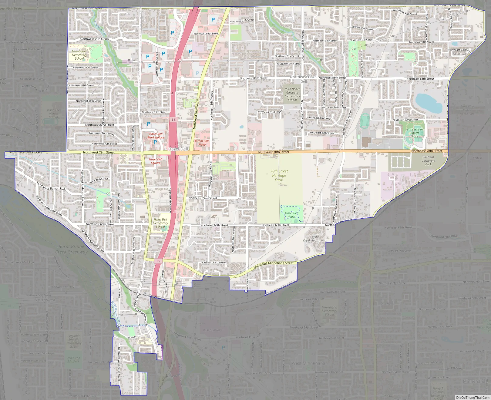
Hazel Dell Road Map
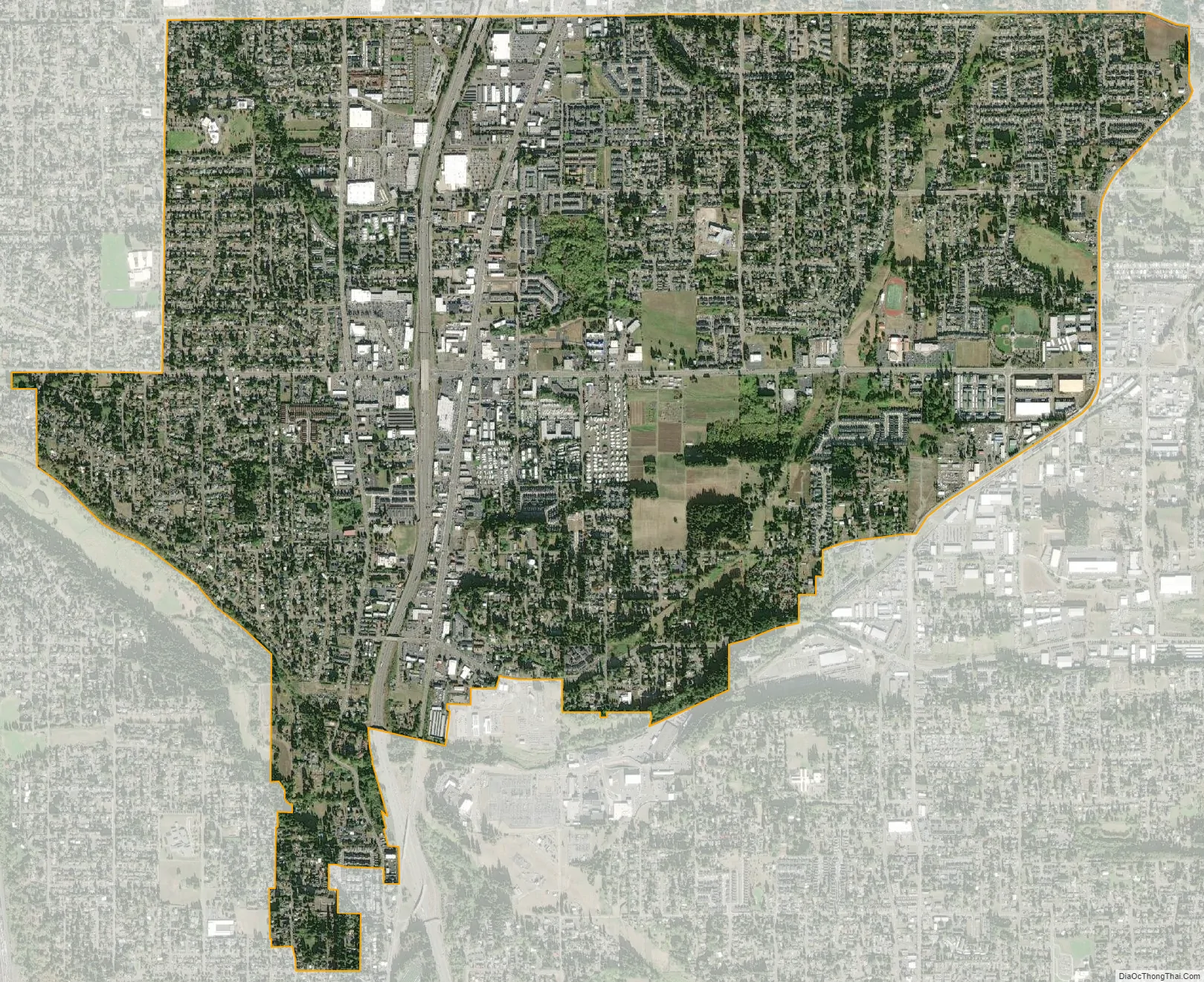
Hazel Dell city Satellite Map
Geography
Hazel Dell runs parallel to and is bisected by Interstate 5, with access from exits 4 and 5. The community is bounded by the Vancouver city limits on the south in the vicinity of Burnt Bridge Creek, Lake Shore to the west, Salmon Creek to the north, I-205/Barberton to the northeast, and Walnut Grove to the east. Vancouver Lake is a short distance to the west of the area, and the community of Minnehaha is to the southeast. According to the United States Census Bureau, the Hazel Dell CDP has a total area of 4.9 square miles (12.6 km), of which 0.01 square miles (0.03 km), or 0.27%, is water.
Much of Hazel Dell is occupied by businesses and working class homes, in well established neighborhoods. The main business portion follows NE Highway 99, just east of I-5, generally, from 63rd to 99th Street, with businesses east and west of Highway 99 on NE 78th and 99th streets. There are fewer businesses and shopping centers along NE Hazel Dell Avenue, just west of I-5, scattered from 63rd to 99th Street. Hazel Dell’s businesses and services include several retail, restaurant, and grocery chains, convenience stores, used car dealerships, auto parts stores and auto repair shops, pawn shops, barber shops, taverns, lounges and pubs, and motels, as well as many other franchise eateries, several banks and realty, medical and dental offices.
See also
Map of Washington State and its subdivision:- Adams
- Asotin
- Benton
- Chelan
- Clallam
- Clark
- Columbia
- Cowlitz
- Douglas
- Ferry
- Franklin
- Garfield
- Grant
- Grays Harbor
- Island
- Jefferson
- King
- Kitsap
- Kittitas
- Klickitat
- Lewis
- Lincoln
- Mason
- Okanogan
- Pacific
- Pend Oreille
- Pierce
- San Juan
- Skagit
- Skamania
- Snohomish
- Spokane
- Stevens
- Thurston
- Wahkiakum
- Walla Walla
- Whatcom
- Whitman
- Yakima
- Alabama
- Alaska
- Arizona
- Arkansas
- California
- Colorado
- Connecticut
- Delaware
- District of Columbia
- Florida
- Georgia
- Hawaii
- Idaho
- Illinois
- Indiana
- Iowa
- Kansas
- Kentucky
- Louisiana
- Maine
- Maryland
- Massachusetts
- Michigan
- Minnesota
- Mississippi
- Missouri
- Montana
- Nebraska
- Nevada
- New Hampshire
- New Jersey
- New Mexico
- New York
- North Carolina
- North Dakota
- Ohio
- Oklahoma
- Oregon
- Pennsylvania
- Rhode Island
- South Carolina
- South Dakota
- Tennessee
- Texas
- Utah
- Vermont
- Virginia
- Washington
- West Virginia
- Wisconsin
- Wyoming