Lynnwood is a city in Snohomish County, Washington, United States. The city is part of the Seattle metropolitan area and is located 16 miles (26 km) north of Seattle and 13 miles (21 km) south of Everett, near the junction of Interstate 5 and Interstate 405. It is the fourth-largest city in Snohomish County, with a population of 38,568 in the 2020 U.S. census.
Often characterized as a suburb or bedroom community, Lynnwood has the highest concentration of retailers in the region and a growing core of businesses, anchored by the Alderwood Mall. The city also has a community college, a convention center, and a major transit center. It is headquarters for several major companies, including Zumiez and SOG Specialty Knives.
The Lynnwood area was logged and settled by homesteaders in the late 19th century and early 20th century, including the development of Alderwood Manor as a planned farming community. Lynnwood, named for the wife of a realtor, emerged in the late 1940s around the intersection of Highway 99 and 196th Street Southwest. The city was incorporated on April 23, 1959, and grew into a suburban hub in the years following the completion of Interstate 5 and Interstate 405. Alderwood Mall opened in 1979 and spurred the transformation of eastern Lynnwood into a retail and office district.
| Name: | Lynnwood city |
|---|---|
| LSAD Code: | 25 |
| LSAD Description: | city (suffix) |
| State: | Washington |
| County: | Snohomish County |
| Incorporated: | April 23, 1959 |
| Elevation: | 394 ft (120 m) |
| Total Area: | 7.89 sq mi (20.44 km²) |
| Land Area: | 7.88 sq mi (20.40 km²) |
| Water Area: | 0.02 sq mi (0.04 km²) |
| Total Population: | 38,568 |
| Population Density: | 5,143.49/sq mi (1,985.91/km²) |
| ZIP code: | 98026, 98036, 98037, 98046, 98087 |
| Area code: | 425 |
| FIPS code: | 5340840 |
| GNISfeature ID: | 1512414 |
| Website: | lynnwoodwa.gov |
Online Interactive Map
Click on ![]() to view map in "full screen" mode.
to view map in "full screen" mode.
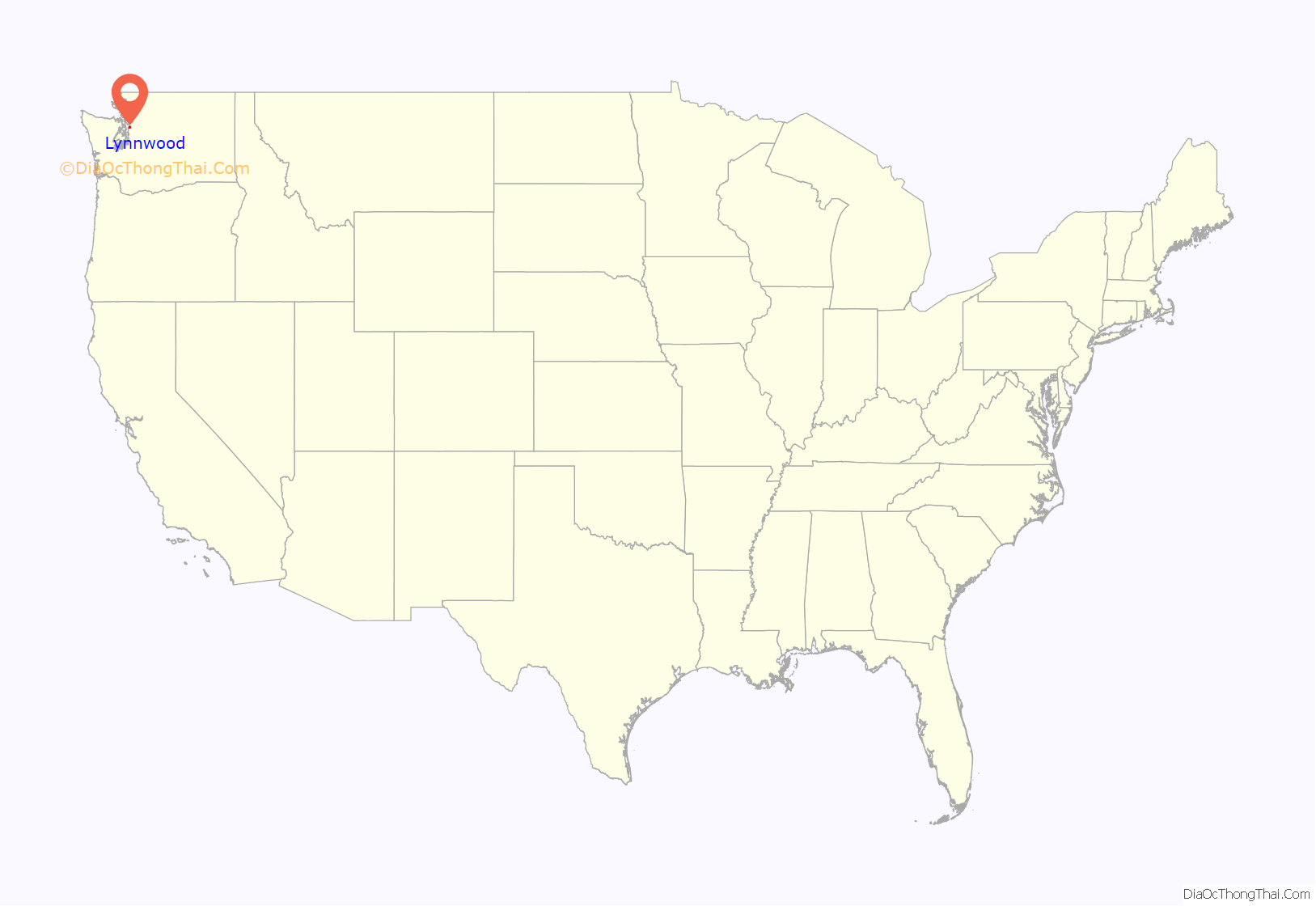
Lynnwood location map. Where is Lynnwood city?
History
Prior to contact with American settlers, the Snohomish tribe of Native Americans used the area of modern-day Lynnwood for summertime activities, including hunting, fishing, berry gathering, and root cultivation. The Snohomish were relocated to the Tulalip reservation, near modern-day Marysville, after the signing of the Treaty of Point Elliott in 1855, opening the area for American settlement.
Brown’s Bay, part of Puget Sound, and modern-day Meadowdale were surveyed by American loggers in 1859. Logging on Brown’s Bay began in 1860, and the first American settlers arrived in the 1880s. Scottish-born stonemason Duncan Hunter became the area’s first white resident in 1889, filing an 80-acre (32 ha) land claim on modern-day 36th Avenue West after moving west from Wisconsin. The claim was inherited by Hunter’s son Basil, who lived on the property until his death in 1982; it was later turned into the city’s Pioneer Park in the late 1980s. Hunter was joined to the east by a claim from William Morrice, a fellow stonemason from Aberdeen, Scotland. Settlers from Pennsylvania homesteaded along Cedar Valley, to the south of Hunter and Morrice, and near Scriber Lake (named for Peter Schreiber) in 1888, leading to the establishment of the area’s first schoolhouse in 1895.
During the early 20th century, the Lynnwood area was gradually logged by private companies and mill operators, leaving behind plots with tree stumps. The arrival of the Seattle–Everett Interurban Railway in 1910 brought reliable transportation to the area, as well as real estate speculators. The Puget Mill Company, then the largest landowner in southern Snohomish County, established the planned community of “Alderwood Manor” in 1917 and marketed the area to urban dwellers wishing to build farms in the countryside. Alderwood Manor, located near an Interurban station, gained streets named for tree species and was divided into 5-to-10-acre (2.0 to 4.0 ha) plots that sold for $200 per acre. A 30-acre (12 ha) “demonstration farm” was built to educate new residents on raising crops and chickens, as well as market the Alderwood Manor plots to “Little Landers”, a nickname for the new residents. Alderwood Manor grew to over 1,463 people and 200,000 hens by 1922, and had electricity and telephone services to most of its residents.
The Puget Mill Company leased out its demonstration farm in 1933 and ceased operations at Alderwood Manor later in the decade, amid declining sales during the Great Depression. At the same time, the opening of the Pacific Highway (modern-day Highway 99) in 1927 and the decline of Interurban service in the 1930s shifted the center of economic growth west near Scriber Lake. Seattle realtor Karl O’Brien filed a plat along Highway 99 at 196th Street Southwest in 1937, naming the development “Lynnwood” after his wife Lynn. Nearby businesses adopted the name during the 1940s, leading to the formal use of “Lynnwood” by the chamber of commerce in 1946, instead of the suggested “West Alderwood”.
Lynnwood gained its first post office in 1948, after a successful lobbying campaign by the Lynnwood Commercial Club to the federal Post Office Department. Throughout the early 1950s, Lynnwood saw slow residential development, in part because of the lack of sewers and other municipal services. Local residents sought to be annexed into Edmonds, but were denied and left to organize their own city. In 1956, a committee to study incorporating Lynnwood as a city was formed, proposing an area of 6.7 square miles (17 km) and population of 10,744 for the new city. A petition to incorporate was signed by 600 voters and submitted early the following year, proposing a 6-square-mile (16 km) city; during the early months of 1958, several property owners asked to be removed from the proposal over disinterest in the Lynnwood group. An incorporation measure was put before voters on the November 1958, failing by a narrow margin of 890 to 848 votes.
A second attempt at incorporation, with a revised size of three square miles (7.8 km) and population of 6,000, was approved by a 2-to-1 margin on April 14, 1959. The successful incorporation was credited in part to the movement of dilapidated homes and structures from the right of way of Interstate 5, a freeway to be built through Alderwood Manor, into the Lynnwood area at the behest of the county government. Realtor Jack Bennett was elected the city’s first mayor, and the city council first met on April 20. The city charter was approved by the county commissioners on April 23, 1959, marking Lynnwood’s official incorporation as a third-class city. Two years after incorporation, the young city was mired in a legal dispute with neighboring Edmonds over the annexation of the Browns Bay area, which was resolved in an out-of-court settlement.
Lynnwood began offering municipal services in its first years, opening a sewage treatment plant, a public park, new streets, and acquiring a water system from the Alderwood Water District. The city began building its 18-acre (7.3 ha) civic center complex in 1969, shortly after the approval of a bond issue to finance the $1.5 million project (equivalent to $8.63 million in 2021 dollars). The civic center, located at 44th Avenue West and 194th Street Southwest, came after a decade in leased facilities scattered around the city center. The first buildings on the campus, including the city hall and public library, opened in 1971. Later expansions to the civic center added a police station, a municipal courthouse, and an indoor recreation center.
The opening of Interstate 5 in 1965 moved the commercial center of Lynnwood east towards Alderwood Manor, which culminated in the proposed construction of a large shopping center in 1968. The 130-acre (53 ha) shopping center, named Alderwood Mall and developed by Allied Stores, was put on hold during the local recession of the early 1970s and was later sold to shopping mall developer Edward J. DeBartolo Sr. in 1976. Alderwood Mall opened on October 4, 1979, sparking a major retail and residential boom in the Lynnwood area in the early 1980s. The Swamp Creek Interchange at Interstate 5 and Interstate 405 was completed in 1984, creating a new regional connection to Alderwood and Lynnwood from the Eastside region of King County.
During the 1980s, Lynnwood gained its first of several office parks, housing high-tech companies expanding from the Eastside and the Canyon Park area of Bothell. Shopping areas developed around Alderwood Mall at the same time, creating the county’s largest retail center, and new housing areas spread out from the city limits of Lynnwood. Despite the development boom of unincorporated areas surrounding Lynnwood, growth within the city itself slowed in the late 1980s and 1990s, attributed to few annexations and slow natural growth.
Lynnwood began developing plans for a “city center” near the Alderwood Mall area in the 1980s. Like other post-war suburbs, Lynnwood developed without a defined central business district and sought to consolidate cultural facilities and high-density development in a manner similar to Downtown Bellevue. In the late 1990s, the Washington State Department of Transportation rebuilt several interchanges on Interstate 5 in Lynnwood, including the construction of a full diamond interchange at 196th Street Southwest costing $80 million. The city opened a $31 million, medium-sized convention center in 2005 to anchor the future city center. The City of Lynnwood formally adopted its City Center Subarea Plan in 2007, outlining plans to re-develop a 300-acre (120 ha) area between Lynnwood Transit Center and Alderwood Mall into a central business district. Development of the city center began in 2015, with the construction of two apartment buildings and a hotel located near the convention center.
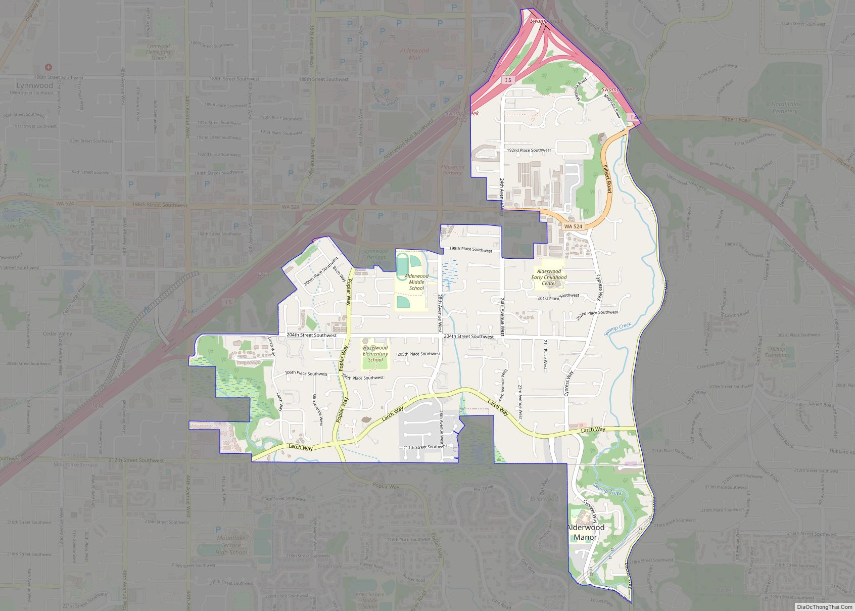
Lynnwood Road Map
Lynnwood city Satellite Map
Geography
According to the United States Census Bureau, the city of Lynnwood has a total area of 7.86 square miles (20.36 km), of which 7.84 square miles (20.31 km) is land and 0.02 square miles (0.05 km) is water. The city is in the southwestern part of Snohomish County in Western Washington, and is considered part of the Seattle metropolitan area. It is at the junction of Interstate 5 and Interstate 405, approximately 16 miles (26 km) north of Seattle, 19 miles (31 km) northwest of Bellevue, and 13 miles (21 km) south of Everett.
Lynnwood’s city limits are roughly defined to south by Mountlake Terrace at 212th Street Southwest and the Interurban Trail; to the west by Edmonds along 76th Avenue West and Olympic View Drive; to the north by the unincorporated Picnic Point-North Lynnwood area, near 164th Street Southwest; and to the east and south by the unincorporated Alderwood Manor, along State Route 525 and Interstate 5. The city’s urban growth area (UGA) includes Alderwood Manor and part of North Lynnwood, extending east to Locust Way and Mill Creek, and north to the Mukilteo UGA at 148th Street Southwest.
Lynnwood is situated 300 to 600 feet (91 to 183 m) on a plateau above Puget Sound, which lies to the city’s west, and consists of several hills and valleys. The city has eighteen identified drainage basins, most of which drain into Swamp Creek or Puget Sound via Lund’s Gulch. Other natural features within Lynnwood include Scriber Lake and Hall Lake. One of the highest hills in the Seattle area is 649-foot (198 m) Lake Serene Hill, near the lake of the same name. The city has extensive views of the Olympic Mountains to the west and the Cascade Mountains to the east.
The main retail and commercial corridor of the city is the “Lynnwood Triangle”, bordered to the east by Interstate 5, to the south by Southwest 196th Street, and to the west by 44th Avenue West. The “Triangle” area has been proposed as the site of a city center for Lynnwood since the 1980s, including planning for a future light rail station and high-density development surrounding it.
See also
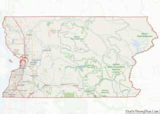
Map of Washington State and its subdivision:- Adams
- Asotin
- Benton
- Chelan
- Clallam
- Clark
- Columbia
- Cowlitz
- Douglas
- Ferry
- Franklin
- Garfield
- Grant
- Grays Harbor
- Island
- Jefferson
- King
- Kitsap
- Kittitas
- Klickitat
- Lewis
- Lincoln
- Mason
- Okanogan
- Pacific
- Pend Oreille
- Pierce
- San Juan
- Skagit
- Skamania
- Snohomish
- Spokane
- Stevens
- Thurston
- Wahkiakum
- Walla Walla
- Whatcom
- Whitman
- Yakima
- Alabama
- Alaska
- Arizona
- Arkansas
- California
- Colorado
- Connecticut
- Delaware
- District of Columbia
- Florida
- Georgia
- Hawaii
- Idaho
- Illinois
- Indiana
- Iowa
- Kansas
- Kentucky
- Louisiana
- Maine
- Maryland
- Massachusetts
- Michigan
- Minnesota
- Mississippi
- Missouri
- Montana
- Nebraska
- Nevada
- New Hampshire
- New Jersey
- New Mexico
- New York
- North Carolina
- North Dakota
- Ohio
- Oklahoma
- Oregon
- Pennsylvania
- Rhode Island
- South Carolina
- South Dakota
- Tennessee
- Texas
- Utah
- Vermont
- Virginia
- Washington
- West Virginia
- Wisconsin
- Wyoming
