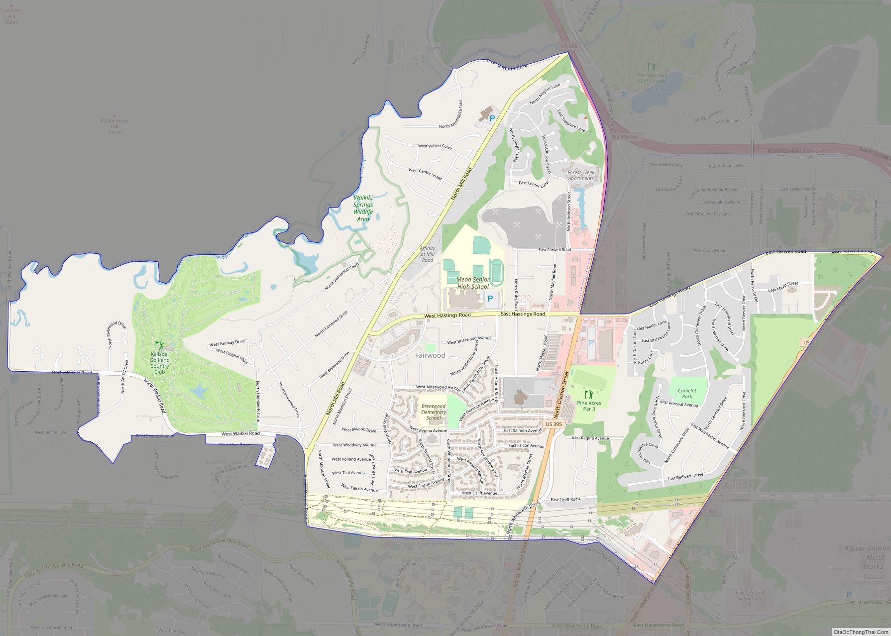
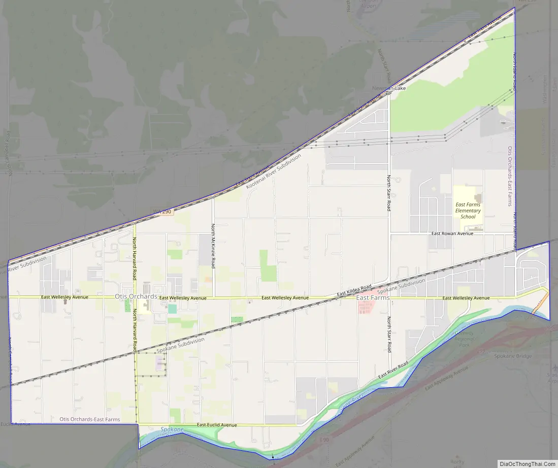
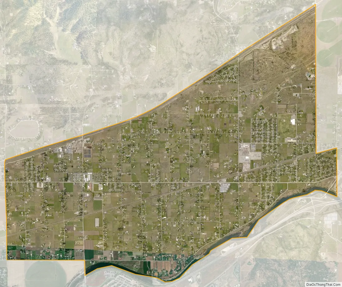
Otis Orchards-East Farms is a census-designated place (CDP) in Spokane County, Washington, United States, near the county’s border with Idaho. The population was 6,299 at the 2020 census. The CDP includes the unincorporated communities of Otis Orchards and East Farms. Otis Orchards contains the bulk of the businesses of the community.
Otis Orchards-East Farms is north of the Spokane River from Liberty Lake, Washington and west of Rathdrum, Idaho and Stateline, Idaho. Part of Otis Orchards was recently incorporated into the new city of Spokane Valley. Otis Orchards is in the eastern part of the Spokane River valley, and is in the Spokane, Washington metro area.
| Name: | Otis Orchards-East Farms CDP |
|---|---|
| LSAD Code: | 57 |
| LSAD Description: | CDP (suffix) |
| State: | Washington |
| County: | Spokane County |
| Total Area: | 62,299 |
| Land Area: | 8.03 sq mi (20.8 km²) |
| Population Density: | 784.3/sq mi (302.8/km²) |
| ZIP code: | 99027 |
| Area code: | Area code 509 |
| FIPS code: | 5352267 |
Online Interactive Map
Click on ![]() to view map in "full screen" mode.
to view map in "full screen" mode.
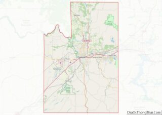
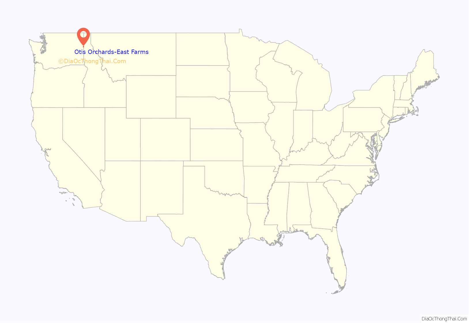
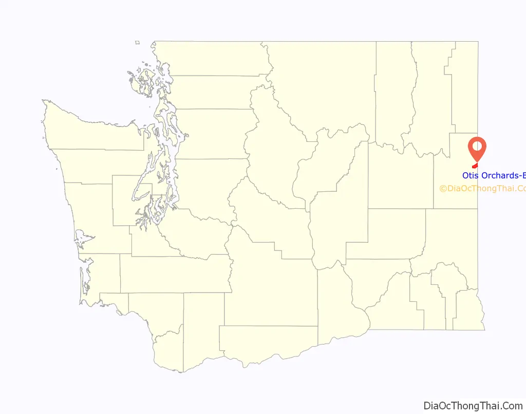
Otis Orchards-East Farms location map. Where is Otis Orchards-East Farms CDP?
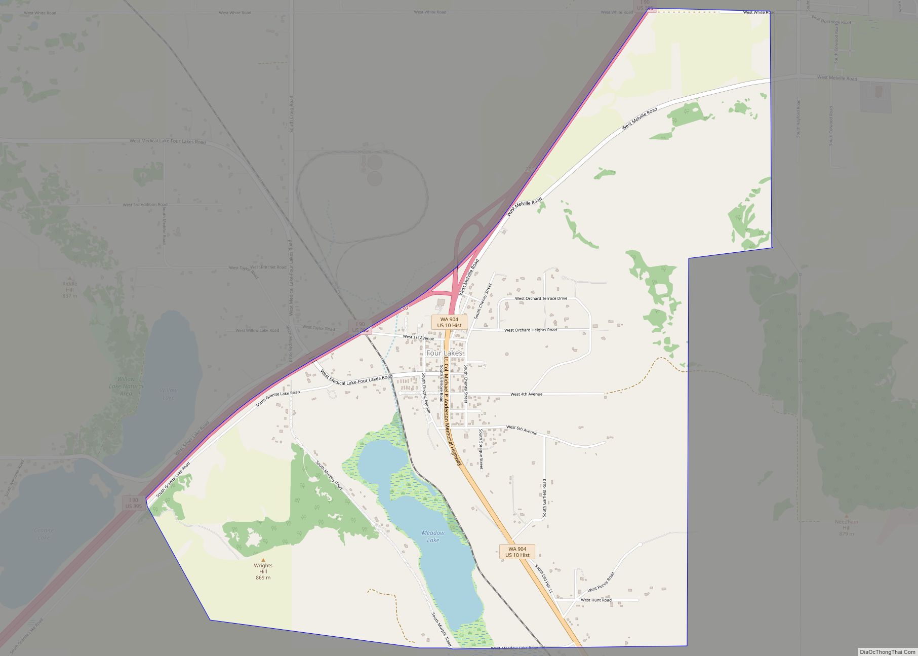
Otis Orchards-East Farms Road Map
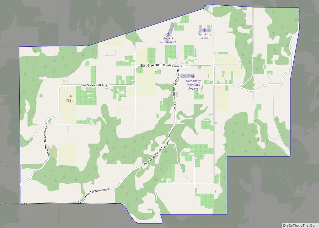
Otis Orchards-East Farms city Satellite Map
Geography
Otis Orchards-East Farms CDP is located at 47°42′17″N 117°4′48″W / 47.70472°N 117.08000°W / 47.70472; -117.08000 (47.704799, -117.079874).
According to the United States Census Bureau, the CDP has a total area of 8.1 square miles (21.1 km), of which, 8.1 square miles (20.8 km) of it is land and 0.1 square miles (0.3 km) of it (1.23%) is water.
See also
Map of Washington State and its subdivision:- Adams
- Asotin
- Benton
- Chelan
- Clallam
- Clark
- Columbia
- Cowlitz
- Douglas
- Ferry
- Franklin
- Garfield
- Grant
- Grays Harbor
- Island
- Jefferson
- King
- Kitsap
- Kittitas
- Klickitat
- Lewis
- Lincoln
- Mason
- Okanogan
- Pacific
- Pend Oreille
- Pierce
- San Juan
- Skagit
- Skamania
- Snohomish
- Spokane
- Stevens
- Thurston
- Wahkiakum
- Walla Walla
- Whatcom
- Whitman
- Yakima
- Alabama
- Alaska
- Arizona
- Arkansas
- California
- Colorado
- Connecticut
- Delaware
- District of Columbia
- Florida
- Georgia
- Hawaii
- Idaho
- Illinois
- Indiana
- Iowa
- Kansas
- Kentucky
- Louisiana
- Maine
- Maryland
- Massachusetts
- Michigan
- Minnesota
- Mississippi
- Missouri
- Montana
- Nebraska
- Nevada
- New Hampshire
- New Jersey
- New Mexico
- New York
- North Carolina
- North Dakota
- Ohio
- Oklahoma
- Oregon
- Pennsylvania
- Rhode Island
- South Carolina
- South Dakota
- Tennessee
- Texas
- Utah
- Vermont
- Virginia
- Washington
- West Virginia
- Wisconsin
- Wyoming