Liberty Lake is a city in Spokane County, Washington, United States located adjacent to the eponymous lake. Located just over a mile (about 2 km) west of the Washington–Idaho border, Liberty Lake is both a suburb of Spokane, Washington and a bedroom community to Coeur d’Alene, Idaho. The population was 12,003 at the 2020 census.
Liberty Lake was named after a pioneer who settled near the lake, Etienne Edward Laliberte, later he changed his name to Steve Liberty. The town was previously called Arturdee.
| Name: | Liberty Lake city |
|---|---|
| LSAD Code: | 25 |
| LSAD Description: | city (suffix) |
| State: | Washington |
| County: | Spokane County |
| Elevation: | 2,073 ft (632 m) |
| Total Area: | 6.25 sq mi (16.18 km²) |
| Land Area: | 6.25 sq mi (16.18 km²) |
| Water Area: | 0.00 sq mi (0.00 km²) |
| Total Population: | 12,003 |
| Population Density: | 1,753.80/sq mi (677.16/km²) |
| ZIP code: | 99019 |
| Area code: | 509 |
| FIPS code: | 5339335 |
| GNISfeature ID: | 1512389 |
| Website: | libertylakewa.gov |
Online Interactive Map
Click on ![]() to view map in "full screen" mode.
to view map in "full screen" mode.
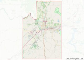
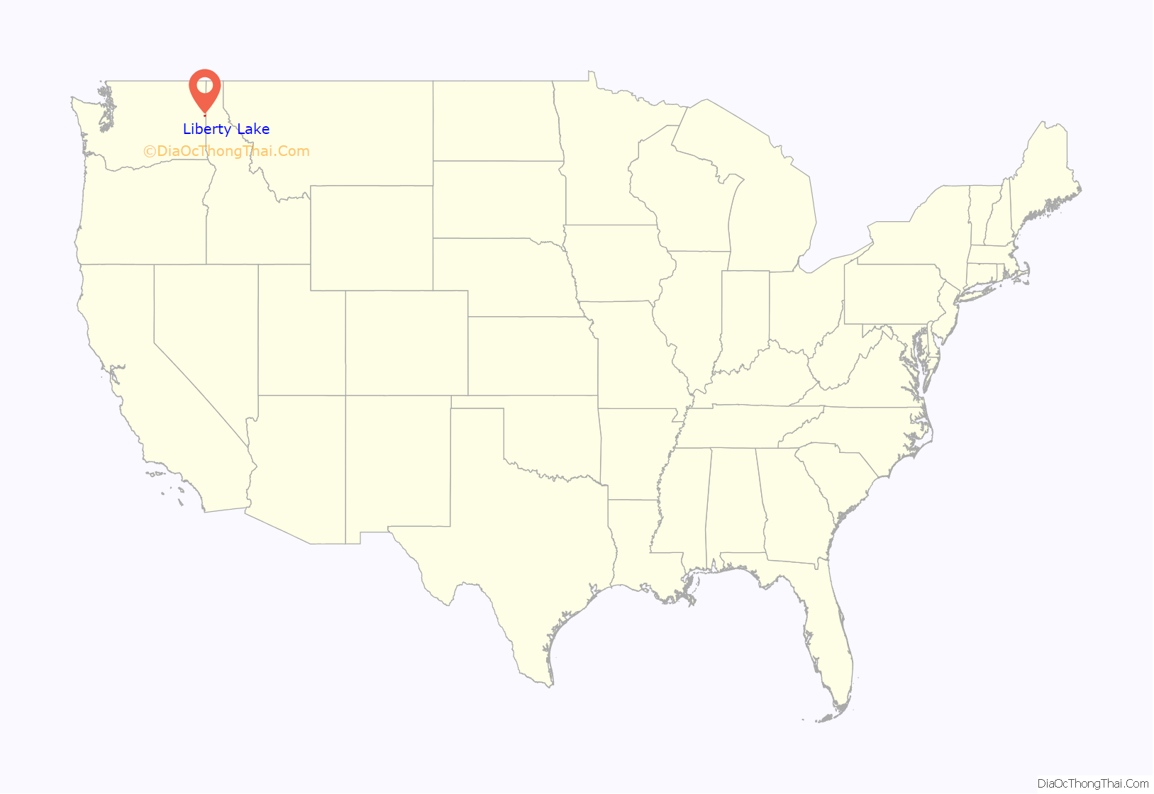
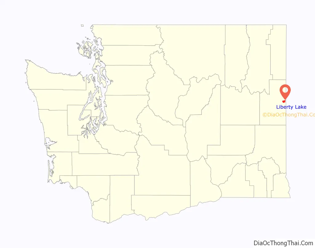
Liberty Lake location map. Where is Liberty Lake city?
History
Liberty Lake was officially incorporated on August 31, 2001.
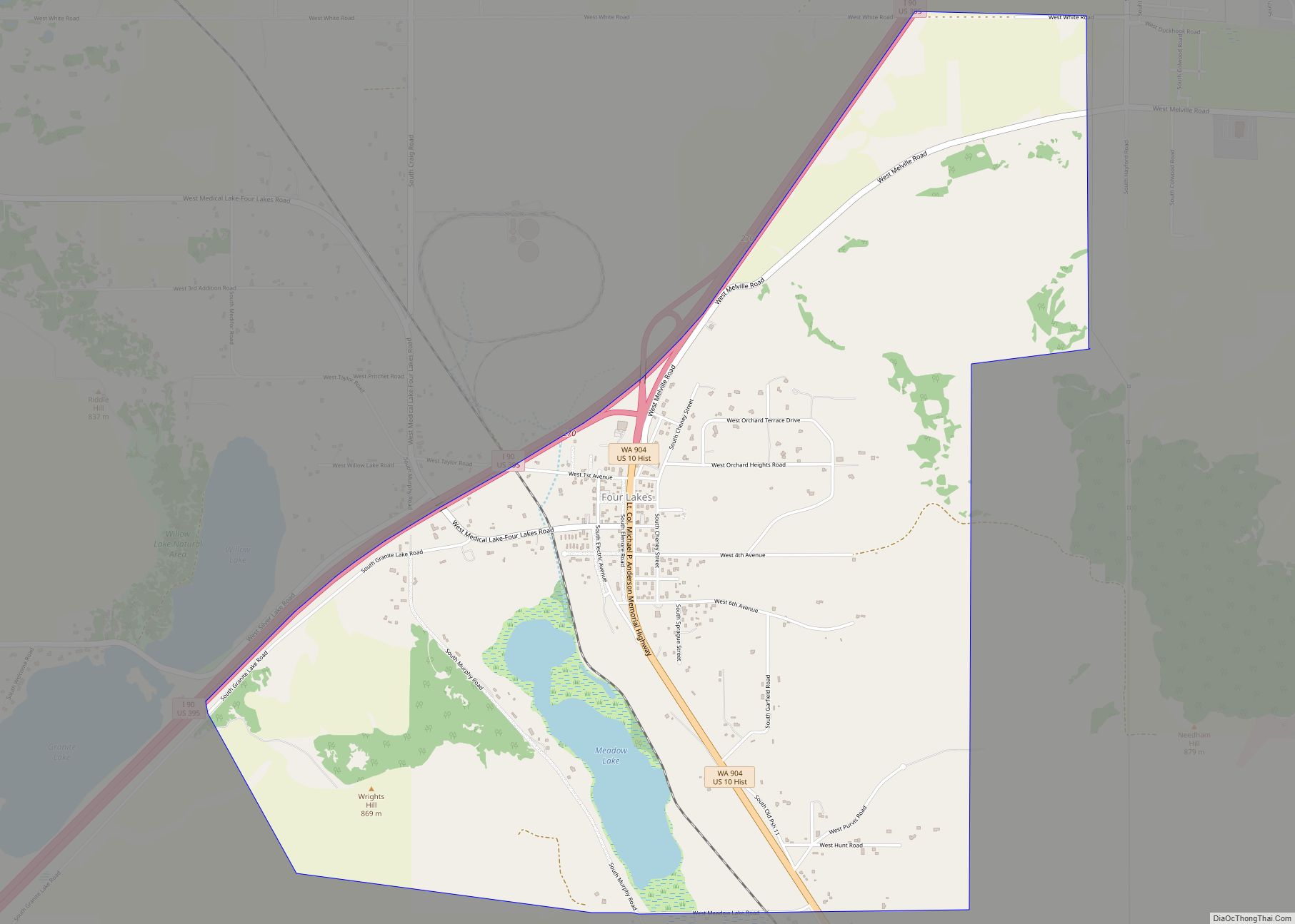
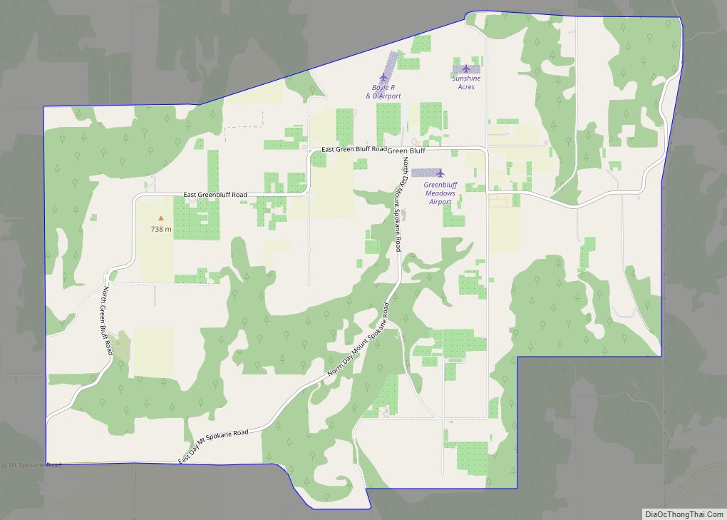
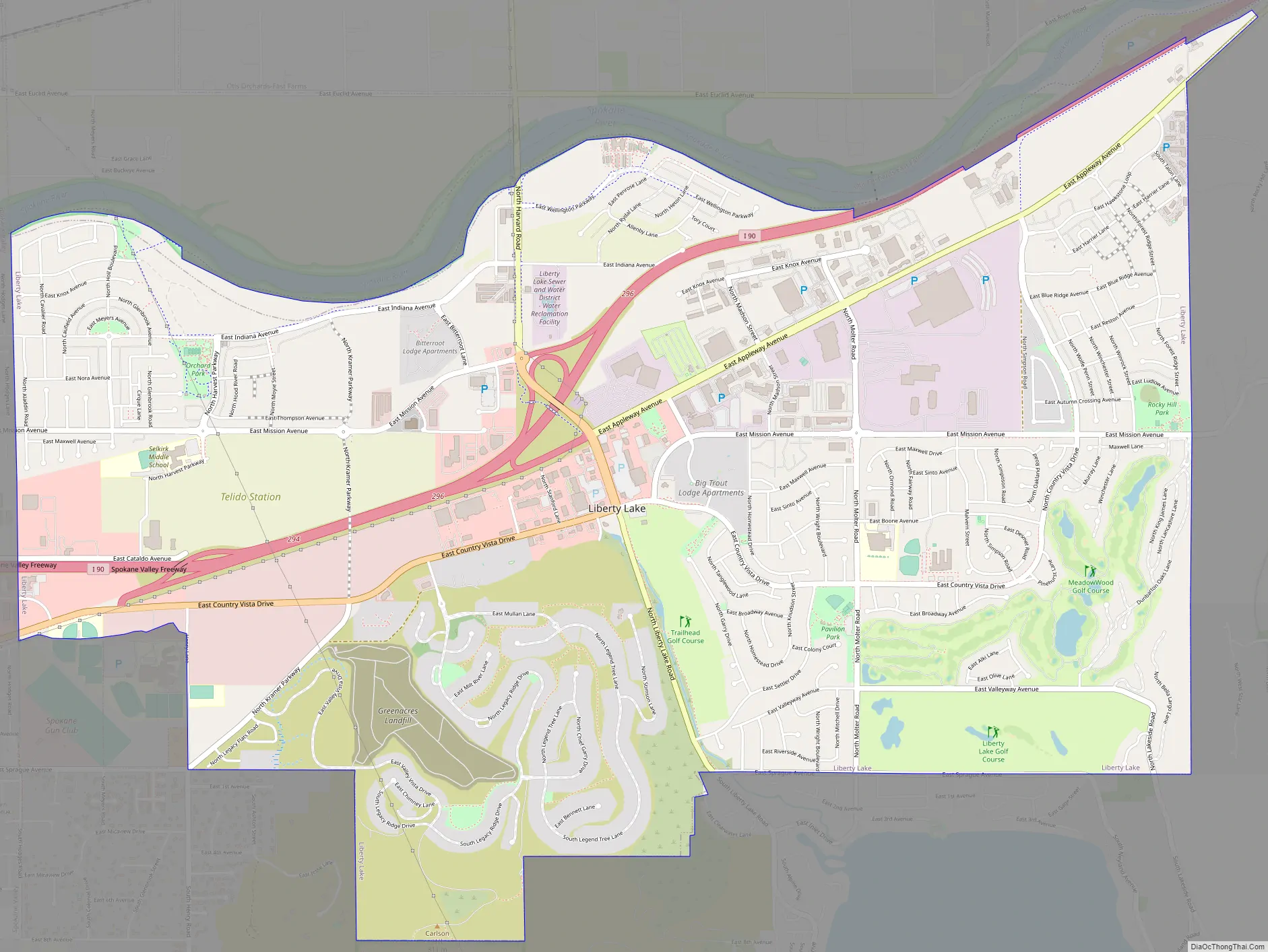
Liberty Lake Road Map
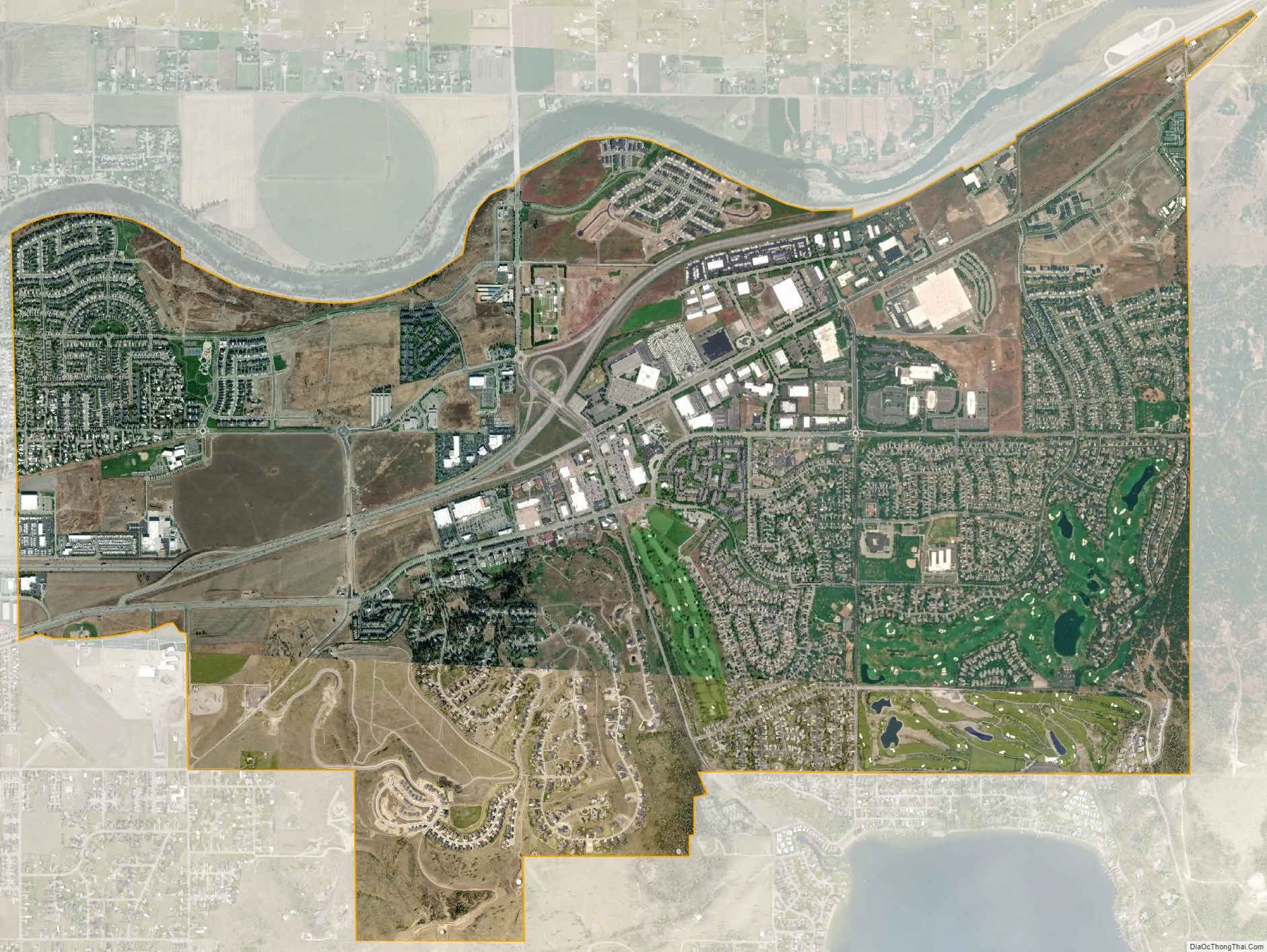
Liberty Lake city Satellite Map
Geography
Liberty Lake is located in the Spokane Valley, at 47°39′22″N 117°5′11″W / 47.65611°N 117.08639°W / 47.65611; -117.08639 (47.656171, -117.086287). According to the United States Census Bureau, the city has a total area of 6.14 square miles (15.90 km), all of it land.
The city is bounded by the Spokane River on the north from Hodges Road in the west to approximately Molter Road. At Molter the border shifts south to Interstate-90, which it follows to within a mile of the Idaho state line. Sprague Avenue marks the southern portion of the city limits in the east to Liberty Lake Road, from which it zig-zags west to Appleway Road at Hodges. The lake itself is located outside of the city limits about three blocks south of Sprague.
Liberty Lake is one of the fastest-growing communities in the State of Washington. Liberty Lake is south of the Spokane River from Otis Orchards-East Farms, Washington, east of Greenacres, Washington (now part of Spokane Valley, Washington), and west of Spokane Bridge, Washington, State Line, Idaho, and Post Falls, Idaho.
Areas east of Liberty Lake Road and areas north of Appleway Road lie on the relatively flat land along the floor of the Spokane Valley. Elevations there range from between 2,000 feet above sea level at the river to around 2,150 feet around Liberty Lake Elementary School. The areas west of Liberty Lake Road and south of Appleway Road show far more topographical relief, rising from around 2,100 feet to over 2,600 feet on Carlson Hill. Kramer Hill, which rises just beyond the eastern limit of the city, quickly rises to above 2,700 feet. While Mica Peak, which rises beyond the southern shore of the lake, climbs to nearly 5,100 feet.
See also
Map of Washington State and its subdivision:- Adams
- Asotin
- Benton
- Chelan
- Clallam
- Clark
- Columbia
- Cowlitz
- Douglas
- Ferry
- Franklin
- Garfield
- Grant
- Grays Harbor
- Island
- Jefferson
- King
- Kitsap
- Kittitas
- Klickitat
- Lewis
- Lincoln
- Mason
- Okanogan
- Pacific
- Pend Oreille
- Pierce
- San Juan
- Skagit
- Skamania
- Snohomish
- Spokane
- Stevens
- Thurston
- Wahkiakum
- Walla Walla
- Whatcom
- Whitman
- Yakima
- Alabama
- Alaska
- Arizona
- Arkansas
- California
- Colorado
- Connecticut
- Delaware
- District of Columbia
- Florida
- Georgia
- Hawaii
- Idaho
- Illinois
- Indiana
- Iowa
- Kansas
- Kentucky
- Louisiana
- Maine
- Maryland
- Massachusetts
- Michigan
- Minnesota
- Mississippi
- Missouri
- Montana
- Nebraska
- Nevada
- New Hampshire
- New Jersey
- New Mexico
- New York
- North Carolina
- North Dakota
- Ohio
- Oklahoma
- Oregon
- Pennsylvania
- Rhode Island
- South Carolina
- South Dakota
- Tennessee
- Texas
- Utah
- Vermont
- Virginia
- Washington
- West Virginia
- Wisconsin
- Wyoming