Wellsburg is a city in and the county seat of Brooke County, West Virginia, United States. The 2020 census recorded a population of 2,455. It is a part of the Weirton–Steubenville metropolitan area. The city’s economy includes several telemarketing facilities, and a factory that does metal fabrication and plastics molding.
| Name: | Wellsburg city |
|---|---|
| LSAD Code: | 25 |
| LSAD Description: | city (suffix) |
| State: | West Virginia |
| County: | Brooke County |
| Elevation: | 676 ft (206 m) |
| Total Area: | 1.33 sq mi (3.44 km²) |
| Land Area: | 0.97 sq mi (2.51 km²) |
| Water Area: | 0.36 sq mi (0.93 km²) |
| Total Population: | 2,455 |
| Population Density: | 2,608.25/sq mi (1,006.97/km²) |
| ZIP code: | 26070 |
| Area code: | 304 |
| FIPS code: | 5485324 |
| GNISfeature ID: | 1555938 |
Online Interactive Map
Click on ![]() to view map in "full screen" mode.
to view map in "full screen" mode.
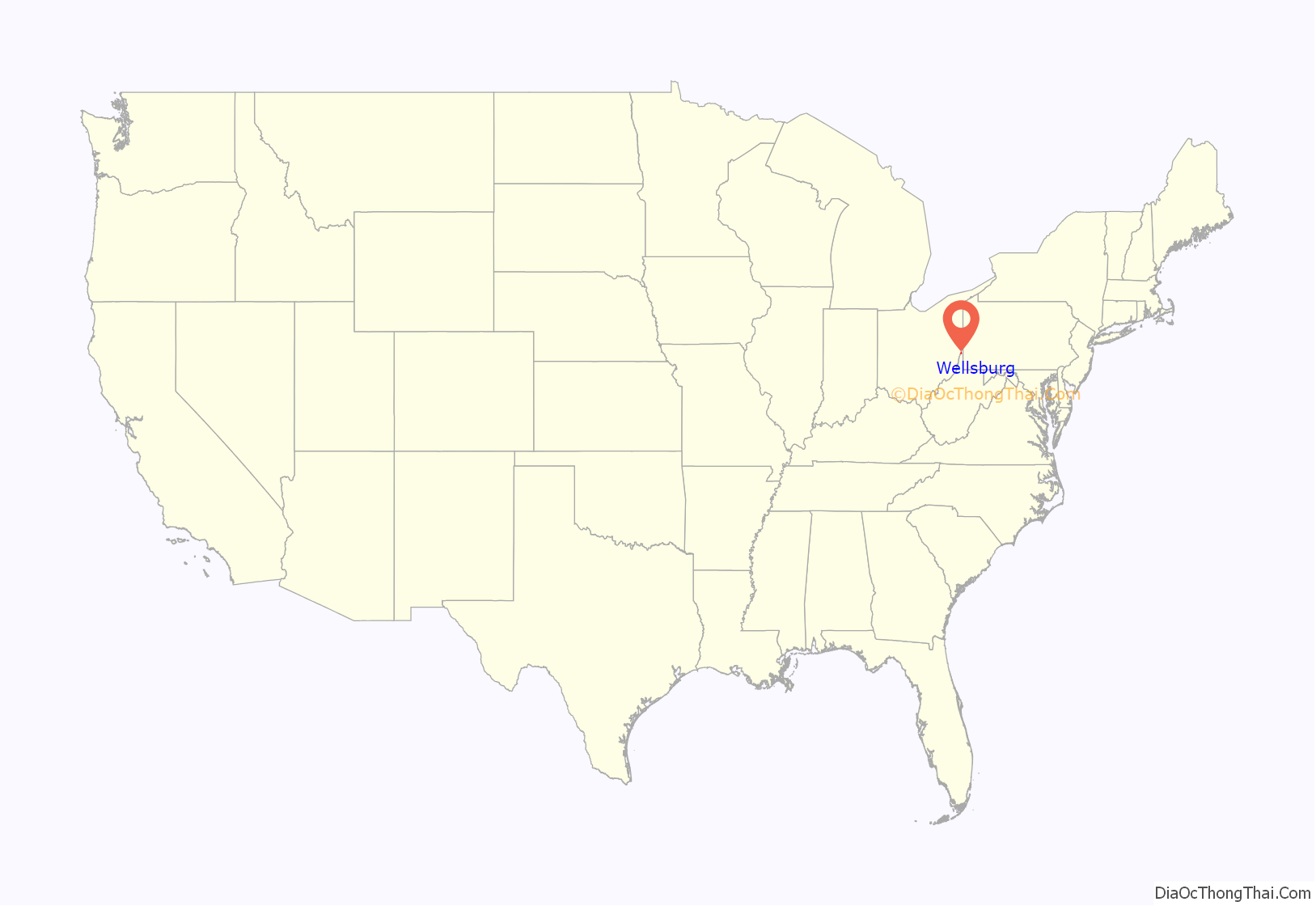
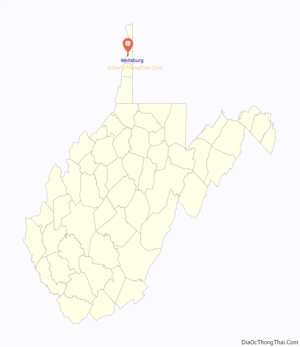
Wellsburg location map. Where is Wellsburg city?
History
The town was laid out in 1790, and its post office was opened on September 1, 1870.
In 1772, the Cox brothers, Friend, Israel, and Jonathan, made tomahawk rights claims totaling 1,200 acres (4.9 km) in the area now including Wellsburg. In March 1788, Charles Prather purchased 481 acres (1.95 km) from the Cox heirs for $3,000. In 1791, Prather petitioned Ohio County to incorporate the town of Charlestown, Virginia, naming it after himself. The original name continued until 1816, when it was changed to Wellsburg, to avoid confusion with Charles Town, Jefferson County. The new name was in honor of Charles Wells (1745-1815), Charles Prather’s son-in-law, builder of the first large flour warehouse in the east. Late in 1890, nearby Midway and Lazearville were annexed to Wellsburg.
Wellsburg was the home of Patrick Gass, the last surviving member of the Lewis and Clark expedition and author of a memoir of the famous journey. Here also was the home of Joseph Doddridge, author of Notes on the Settlement and Indian Wars. In 1832, the original Grimes Golden apple tree was found just east of Wellsburg. The first glass factory in Western Virginia was built at Wellsburg in 1813.
Wellsburg has a number of entries on the National Register of Historic Places. The most notable are Miller’s Tavern and Wellsburg Wharf. The Wellsburg Historic District was listed in 1982.
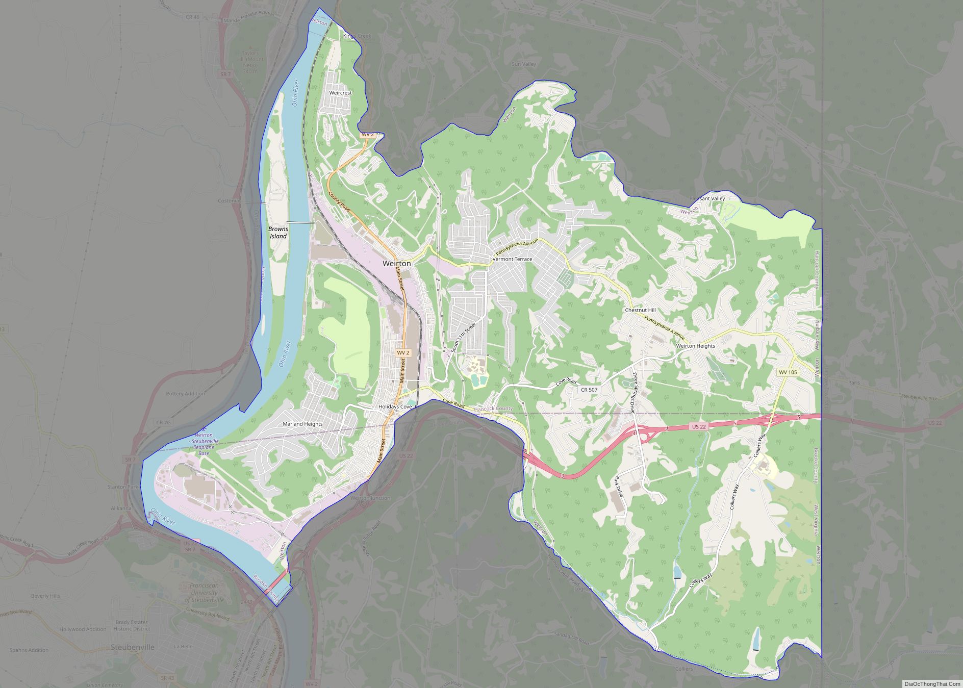
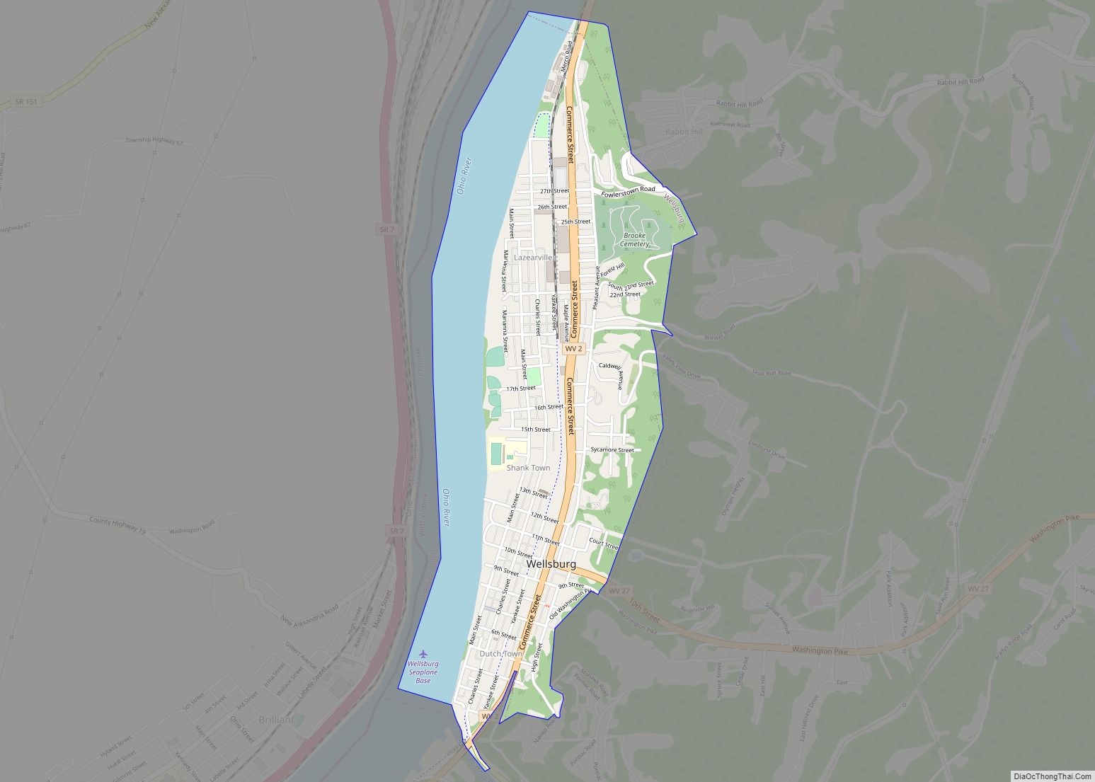
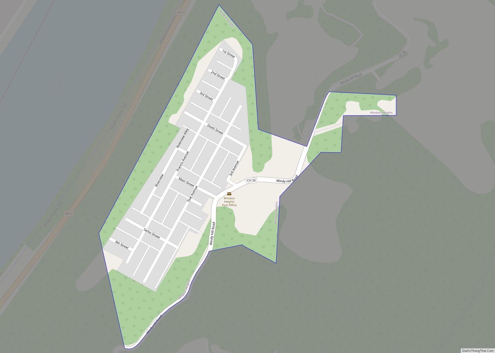
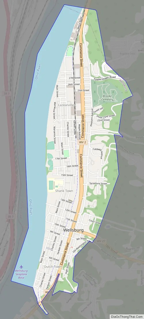
Wellsburg Road Map
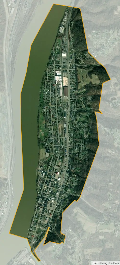
Wellsburg city Satellite Map
Geography
Wellsburg is located at 40°16′39″N 80°36′34″W / 40.27750°N 80.60944°W / 40.27750; -80.60944 (40.277370, -80.609349), along the Ohio River.
According to the United States Census Bureau, the city has a total area of 1.34 square miles (3.47 km), of which 0.98 square miles (2.54 km) is land and 0.36 square miles (0.93 km) is water.
See also
Map of West Virginia State and its subdivision:- Barbour
- Berkeley
- Boone
- Braxton
- Brooke
- Cabell
- Calhoun
- Clay
- Doddridge
- Fayette
- Gilmer
- Grant
- Greenbrier
- Hampshire
- Hancock
- Hardy
- Harrison
- Jackson
- Jefferson
- Kanawha
- Lewis
- Lincoln
- Logan
- Marion
- Marshall
- Mason
- McDowell
- Mercer
- Mineral
- Mingo
- Monongalia
- Monroe
- Morgan
- Nicholas
- Ohio
- Pendleton
- Pleasants
- Pocahontas
- Preston
- Putnam
- Raleigh
- Randolph
- Ritchie
- Roane
- Summers
- Taylor
- Tucker
- Tyler
- Upshur
- Wayne
- Webster
- Wetzel
- Wirt
- Wood
- Wyoming
- Alabama
- Alaska
- Arizona
- Arkansas
- California
- Colorado
- Connecticut
- Delaware
- District of Columbia
- Florida
- Georgia
- Hawaii
- Idaho
- Illinois
- Indiana
- Iowa
- Kansas
- Kentucky
- Louisiana
- Maine
- Maryland
- Massachusetts
- Michigan
- Minnesota
- Mississippi
- Missouri
- Montana
- Nebraska
- Nevada
- New Hampshire
- New Jersey
- New Mexico
- New York
- North Carolina
- North Dakota
- Ohio
- Oklahoma
- Oregon
- Pennsylvania
- Rhode Island
- South Carolina
- South Dakota
- Tennessee
- Texas
- Utah
- Vermont
- Virginia
- Washington
- West Virginia
- Wisconsin
- Wyoming