Peoria /piˈɔːriə/ is a city in Maricopa and Yavapai counties in the U.S. state of Arizona. Most of the city is located in Maricopa County, while a portion in the north is in Yavapai County. It is a major suburb of Phoenix. As of the 2020 census, the population of Peoria was 190,985, up from 154,065 in 2010. It is the sixth-largest city in Arizona in land area and the ninth-largest in population. It was named after Peoria, Illinois. The word peoria is a corruption of the Miami-Illinois word for “prairie fire”. It is the spring training home of the San Diego Padres and Seattle Mariners, who share the Peoria Sports Complex.
| Name: | Peoria city |
|---|---|
| LSAD Code: | 25 |
| LSAD Description: | city (suffix) |
| State: | Arizona |
| County: | Maricopa County, Yavapai County |
| Elevation: | 1,581 ft (482 m) |
| Total Area: | 179.25 sq mi (464.25 km²) |
| Land Area: | 176.08 sq mi (456.05 km²) |
| Water Area: | 3.17 sq mi (8.20 km²) |
| Total Population: | 190,985 |
| Population Density: | 1,084.64/sq mi (418.78/km²) |
| ZIP code: | 85345, 85381–85383 85373 (Sun City) 85387 (Morristown) |
| Area code: | 623 and 928 |
| FIPS code: | 0454050 |
| GNISfeature ID: | 2411401 |
| Website: | www.peoriaaz.gov |
Online Interactive Map
Click on ![]() to view map in "full screen" mode.
to view map in "full screen" mode.
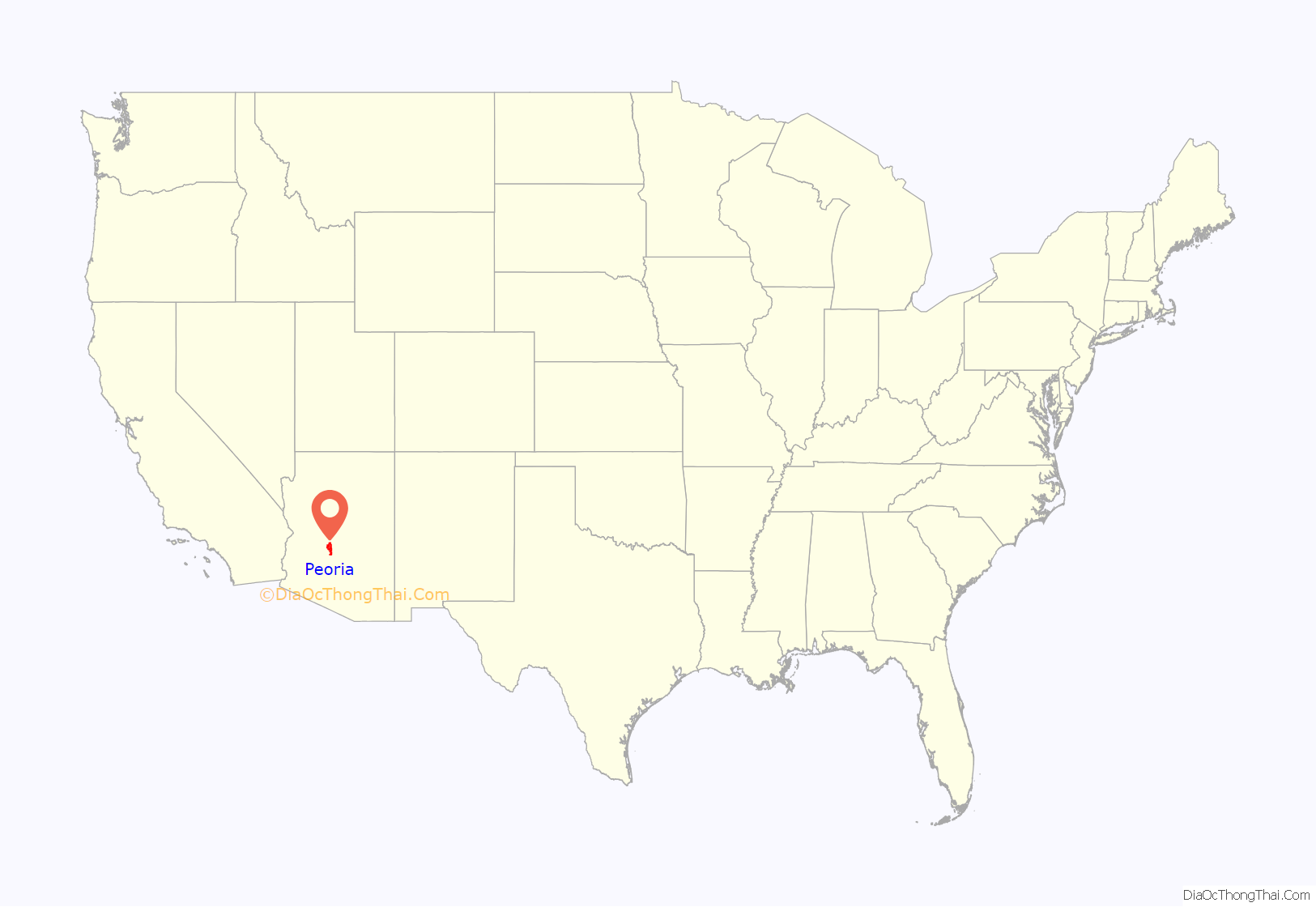
Peoria location map. Where is Peoria city?
History
Initial settlement
Peoria sits in the Salt River Valley, and extends into the foothills of the mountains to the north. William John Murphy, who had worked on the Arizona Canal, recruited settlers to begin a community in Arizona, many of them from Peoria, Illinois. Albert J. and Elizabeth Straw were the first to establish residency in November 1886. They were followed by William T. and Sylvia Hanna, James M. and Clara Copes, and James and Ella McMillan, all from Peoria, Illinois. An old desert road connecting Phoenix to the Hassayampa River near present-day Wickenburg was the only major transportation route in the area until 1887, when a new road was laid out. Named Grand Avenue, this road angled through the newly designed town sites of Alhambra, Glendale, and Peoria and became the main route from Phoenix to Vulture Mine. The settlers filed Peoria’s plot map with the Maricopa County recorder on May 24, 1897, naming the settlement after their hometown.
The original plot map of Peoria included east and west streets (from south to north) Monroe, Madison, Jefferson, Washington, Jackson, Lincoln, Grant, and Van Buren. Streets going north and south were (from west to east) Almond (present-day 85th Avenue), Peach (present-day 84th Avenue), Orange (present-day 83rd Avenue), Vine (present-day 82nd Avenue), and Walnut (present-day 81st Avenue). The plot was roughly from present-day Peoria and 85th avenues to Monroe Street and 85th Avenue to Monroe Street and 81st Avenue to 81st Avenue and south of the Desert Cove alignment. On August 4, 1888, the Territory of Peoria was granted a post office in its name and served a population of 27. Maricopa County supervisors defined the boundaries for School District Eleven, covering 49 square miles (130 km), and the first class took place in an unoccupied brick store that faced north on Washington Street until Peoria’s first school building, a one-room structure completed in 1891.
Early growth of the town
Between 1891 and 1895, a spur line of the Santa Fe, Prescott and Phoenix Railway was placed through Peoria, along with Phoenix, Glendale, Alhambra, Hesperla, and Marinette. Peoria’s small depot on 83rd Avenue just off Grand Avenue was purchased by the city of Scottsdale in 1972 and now resides at McCormick-Stillman Railroad Park.
About 1919 the Peoria Chamber of Commerce formed. It operated as the informal government body until Peoria incorporated in 1954. The Peoria volunteer fire district formed in 1920 and remained all volunteer until the mid-1950s. The three-story Edwards Hotel was built in 1918, followed by the Mabel Hood building in May 1920 at the southwest corner of Washington Street and 83rd Avenue. The John L. Meyer or “flatiron” building was completed in June 1920 and the O.O. Fuel’s Paramount Theatre in July 1920. (It served as Fire Station 1 from 1950 until 2004.) The town’s first newspaper, The Peoria Enterprise, was printed weekly from November 14, 1917, to April 1921.
Peoria’s first library was held at the women’s club in 1920 until it moved to the old Peoria City Hall in 1975 (where the Peoria Center for the Performing Arts was constructed and currently sits). The library eventually moved to the Peoria Municipal Complex. In May 1959 the Women’s Club gave the clubhouse to the City of Peoria.
Central School was built in 1906. By 1910, three additional classroom buildings were built next to the central school, and in 1918 another school building, containing an auditorium and four classrooms, was opened. In 1918, the attendance for Peoria schools was 190. School District Number Eleven was originally an elementary school district. Children going on to high school had to travel to Glendale High School. In 1919, the school board approved construction of Peoria High School.
Post-war development
Increased economic activity, combined with the presence of Luke Air Force Base and tremendous growth throughout the entire Valley—coinciding with the mass-production of air conditioning in the early 1950s—led to an increase in residential housing in Peoria. A postwar construction boom set the stage for Peoria to become a suburb of Phoenix, providing housing for the capital city as growth moved west.
In 1954, Peoria was home to 1,925 residents, with an area of 720 acres (2.9 km). Peoria incorporated on June 7, 1954. A seven-member city council formed and held its first organizational meeting on June 14. Peoria was named the “Rose Capitol of the World” in 1956. By 1966, Peoria grew to encompass 3.1 square miles (8.0 km) with 36 miles (58 km) of street. In 1968, the city passed a bond to issue securing the money to build a sewer system, which was completed in 1969. In 1970, Peoria began to transition to paid firefighting staff. From a population of 4,792 in 1970, the city grew to 12,351 in 1980 and 50,675 in 1990. Construction of the $30 million municipal complex began in 1988 at the edge of Peoria’s Old Town. The Police Department opened in 1989, the main city hall building and courts in 1991, and the library in 1993.
Spring training has a long history in Peoria. From the late 1970s to 1990, Peoria’s Greenway Sports Complex served as a minor-league training facility for the Milwaukee Brewers baseball team. This small facility was located at 83rd Avenue and the Greenway Road alignment, the location of the future Peoria Sports Complex. Construction of the new complex was approved in 1990. It was completed in 1994 and was the first Major League Baseball spring training facility in the county shared by two teams. The San Diego Padres and Seattle Mariners utilize the complex year-round for spring training and player development. The Sports Complex was also the short-lived home of the Arizona United for the 2014 season before they relocated to Scottsdale.
Current developments
Peoria’s identity is more related to resort and leisure living than the past, as that type of lifestyle migrates from the northeast Valley to Peoria. Peoria’s economic plan focuses on establishing the new Loop 303 freeway corridor as an industrial, commercial, mixed development use and less on traditional residential development. The City of Peoria opened Paloma Community Park on October 3rd, 2020. The park offers a variety of recreational activities and amenities including fishing, lighted multi-purpose fields, and picnic ramadas.
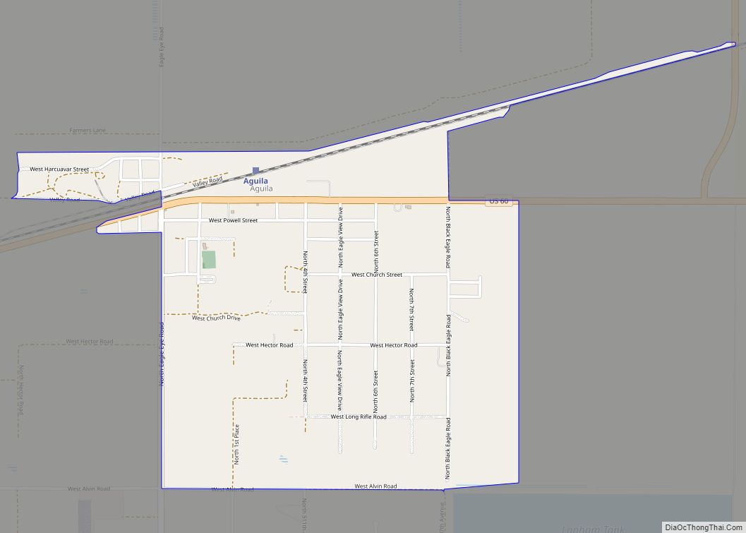
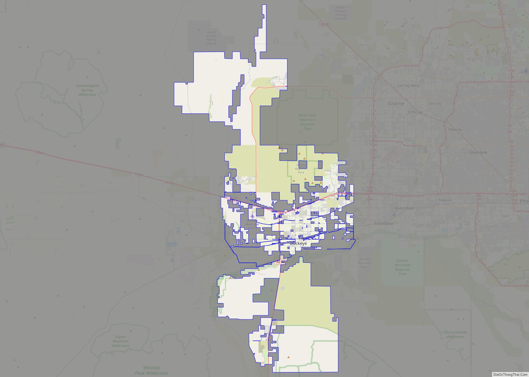
Peoria Road Map
Peoria city Satellite Map
Geography
Peoria is in northern Maricopa County, with the city limits extending north into Yavapai County. The city is bordered to the east by Phoenix, to the southeast and south by Glendale, to the southwest by Youngtown and unincorporated Sun City, and to the west by Surprise. According to the United States Census Bureau, the city has a total area of 179.2 square miles (464 km), of which 176.1 square miles (456 km) are land and 3.2 square miles (8.3 km), or 1.77%, are water. The water area is due to Lake Pleasant, a reservoir on the Agua Fria River in the northern part of the city.
The Agua Fria River and New River are the only rivers that flow through Peoria. The Agua Fria River is usually dry due to the New Waddell Dam that holds back Lake Pleasant in the northern end of the city. The New River is usually dry due to flood control measures and New River Dam. There are multiple washes and creeks that flow through the city as well, one of the most significant being Skunk Creek, due to its trails and connectivity with nearby Glendale.
Peoria has many mountains and hills at its northern end. Some include Sunrise Mountain, West Wing Mountain, East Wing Mountain, Calderwood Butte, Cholla Mountain, White Peak, Hieroglyphic Mountains, and Twin Buttes.
Climate
Peoria has a hot desert climate with mild to warm winters and extremely hot summers.
See also
Map of Arizona State and its subdivision: Map of other states:- Alabama
- Alaska
- Arizona
- Arkansas
- California
- Colorado
- Connecticut
- Delaware
- District of Columbia
- Florida
- Georgia
- Hawaii
- Idaho
- Illinois
- Indiana
- Iowa
- Kansas
- Kentucky
- Louisiana
- Maine
- Maryland
- Massachusetts
- Michigan
- Minnesota
- Mississippi
- Missouri
- Montana
- Nebraska
- Nevada
- New Hampshire
- New Jersey
- New Mexico
- New York
- North Carolina
- North Dakota
- Ohio
- Oklahoma
- Oregon
- Pennsylvania
- Rhode Island
- South Carolina
- South Dakota
- Tennessee
- Texas
- Utah
- Vermont
- Virginia
- Washington
- West Virginia
- Wisconsin
- Wyoming
