Homosassa is a census-designated place (CDP) in Citrus County, Florida, United States. The population was 2,578 at the 2010 census.
| Name: | Homosassa CDP |
|---|---|
| LSAD Code: | 57 |
| LSAD Description: | CDP (suffix) |
| State: | Florida |
| County: | Citrus County |
| Elevation: | 0 ft (0 m) |
| Total Area: | 8.33 sq mi (21.58 km²) |
| Land Area: | 7.81 sq mi (20.23 km²) |
| Water Area: | 0.52 sq mi (1.35 km²) |
| Total Population: | 2,299 |
| Population Density: | 294.33/sq mi (113.64/km²) |
| ZIP code: | 34446, 34448, 34487 |
| Area code: | 352 |
| FIPS code: | 1232375 |
| GNISfeature ID: | 0284219 |
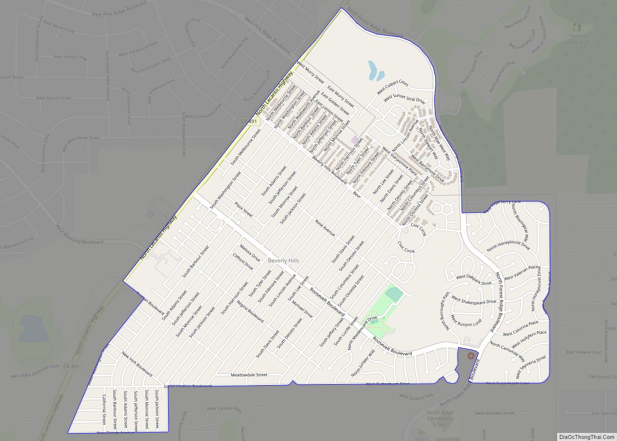
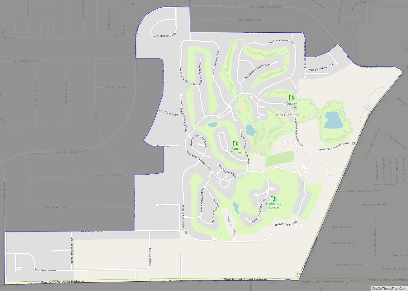
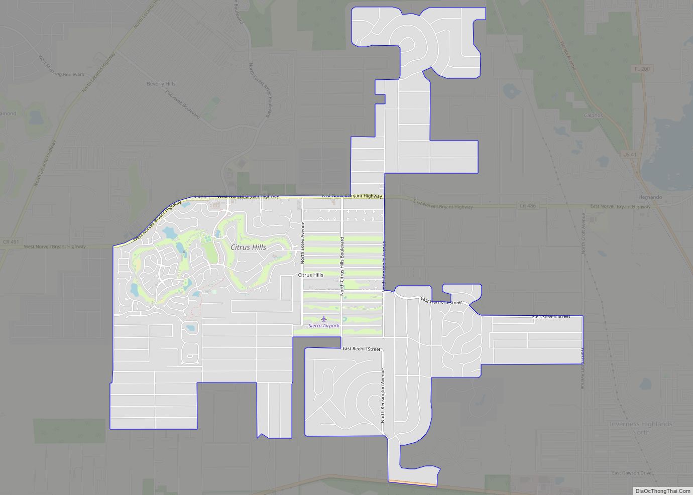
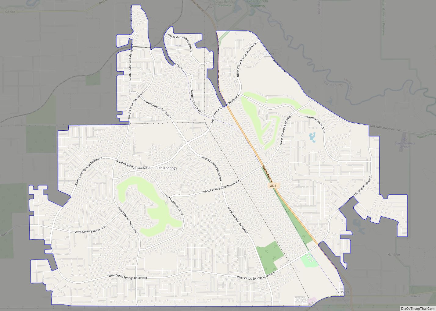
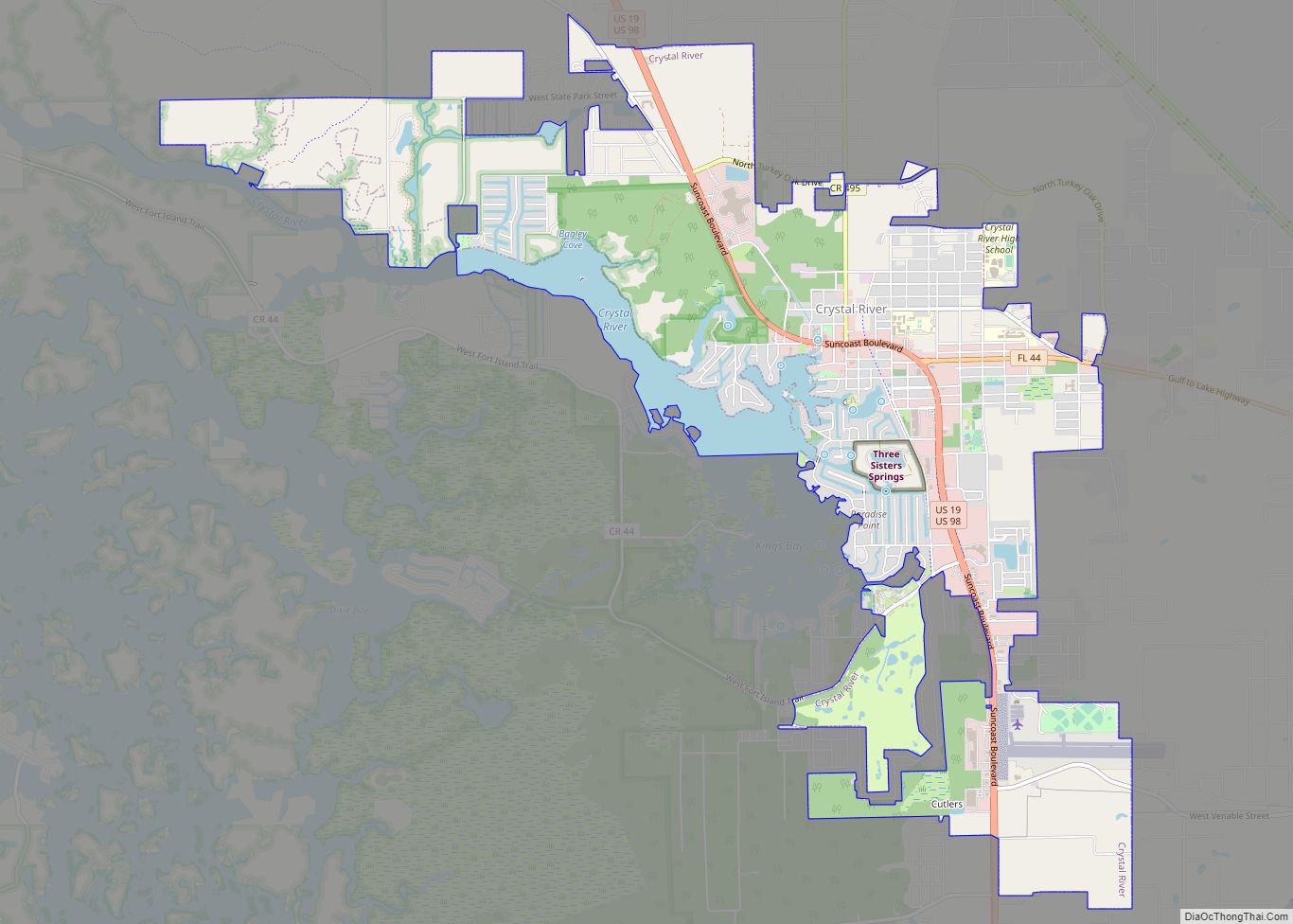
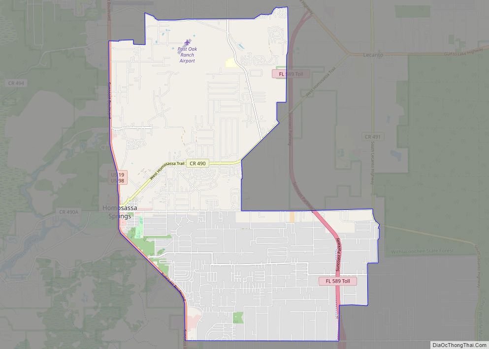
Online Interactive Map
Click on ![]() to view map in "full screen" mode.
to view map in "full screen" mode.
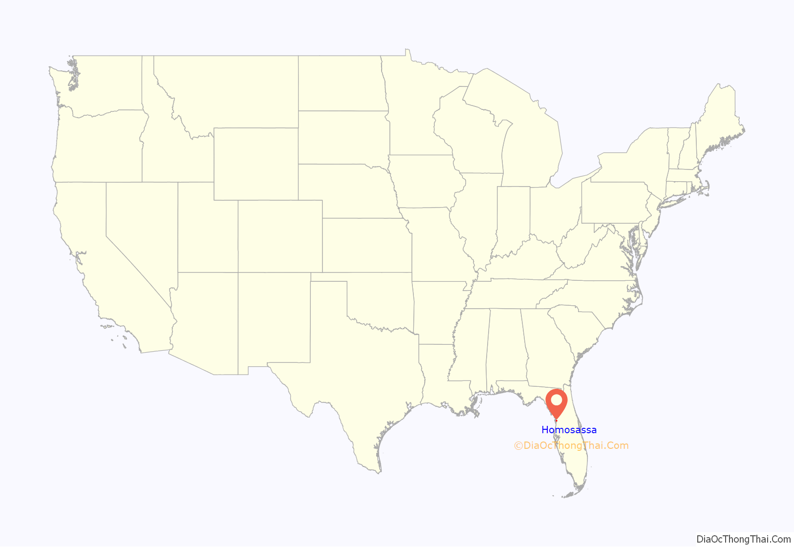
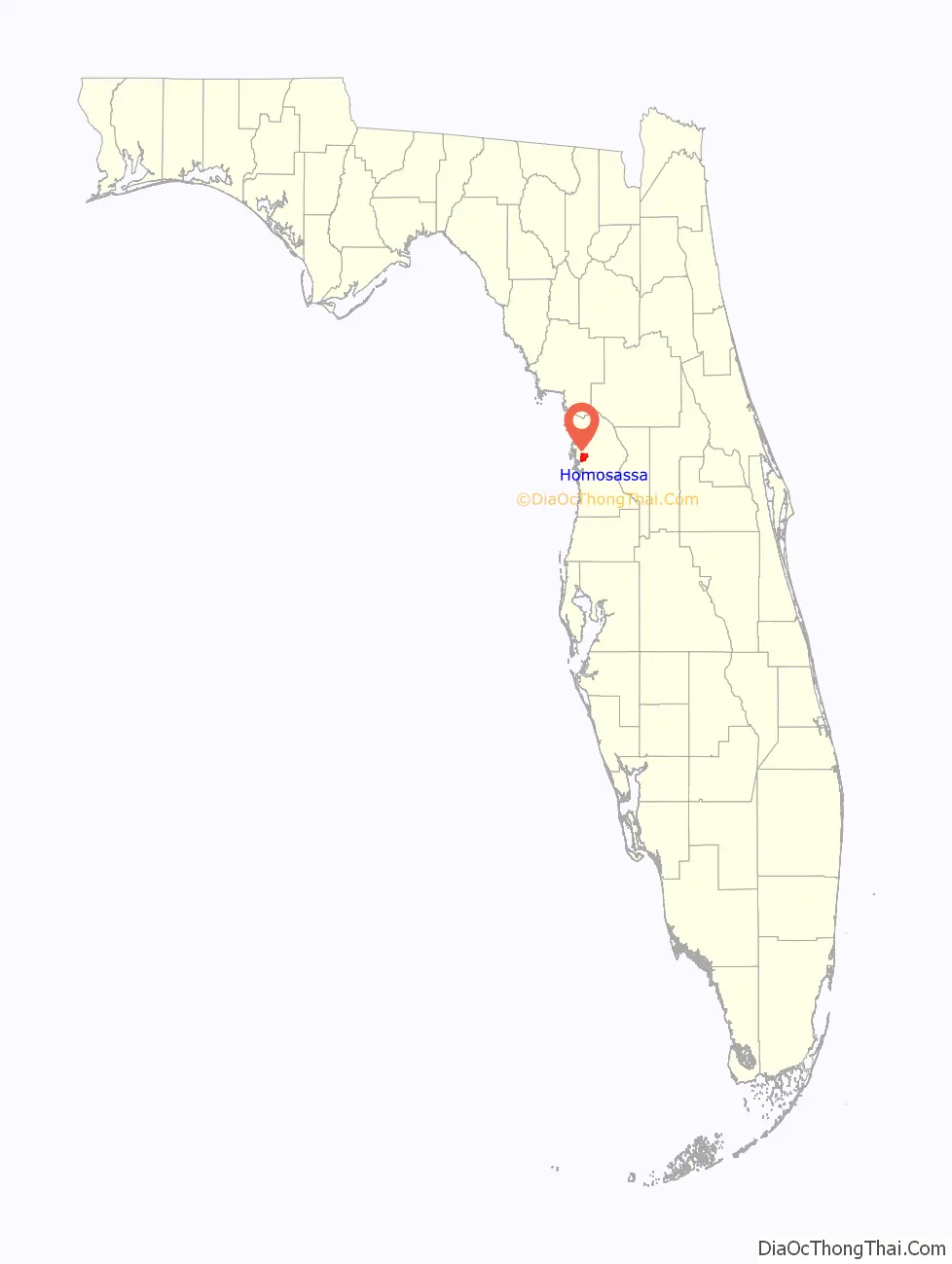
Homosassa location map. Where is Homosassa CDP?
History
Homosassa is derived from a Seminole Indian name meaning either “river of fishes” or “pepper ridge”.
In 1851, David Levy Yulee established a 5,000-acre (20 km) sugar plantation on the Homosassa River, close to the current town of Homosassa. The plantation was worked by approximately 1,000 slaves, but Yulee was an absentee owner, spending most of his time in Fernandina. Among the crops raised were sugar cane, cotton, and citrus. The Yulee Groves were one of the first in Florida to grow sweet oranges budded from sour orange stock. The mill, which was steam-driven, operated from 1851 to 1864 and produced sugar, syrup, and molasses, the last of which was part of the rum-making process. After the Civil War ended in 1865, Yulee was imprisoned, the slaves were freed, and the site was abandoned. The remains of the plantation are preserved at the Yulee Sugar Mill Ruins Historic State Park.
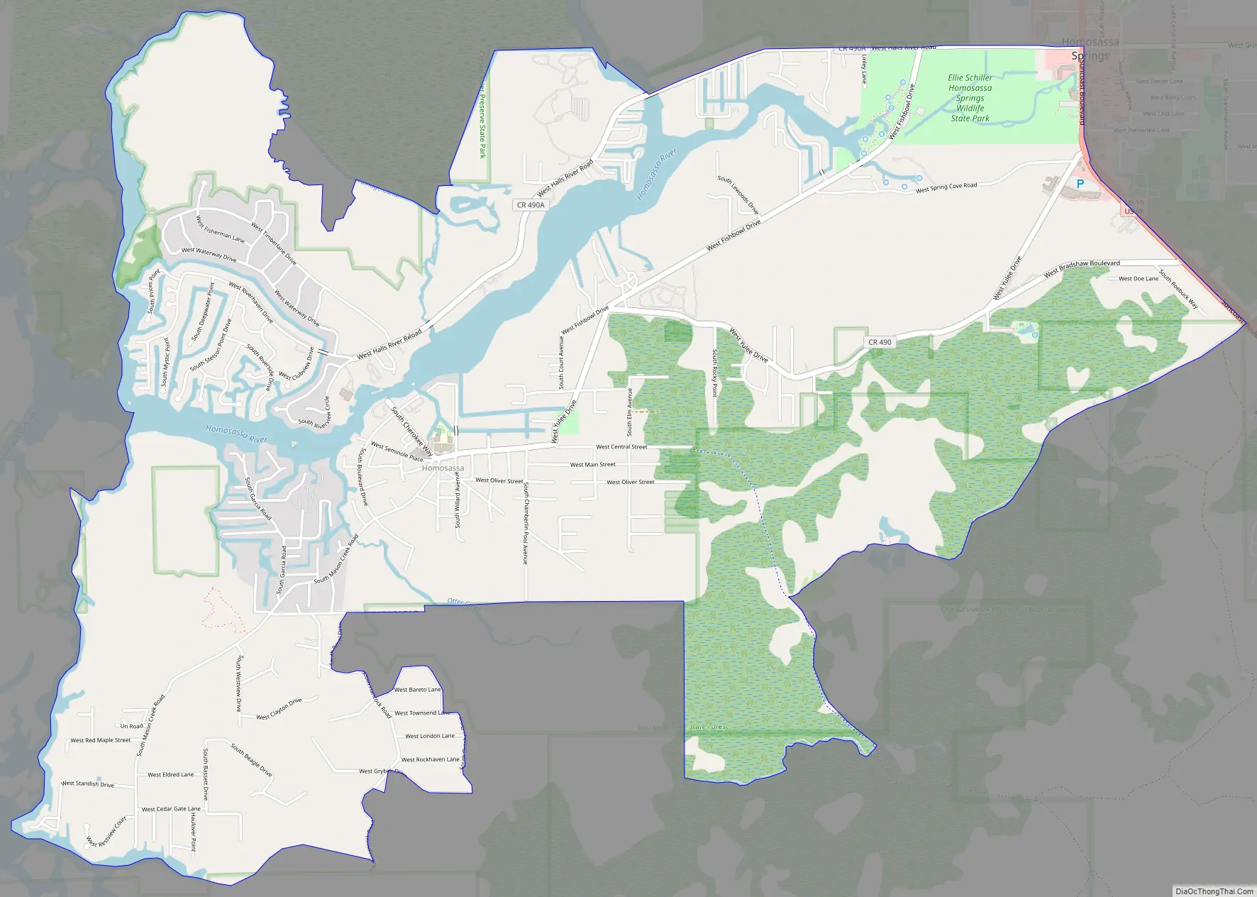
Homosassa Road Map
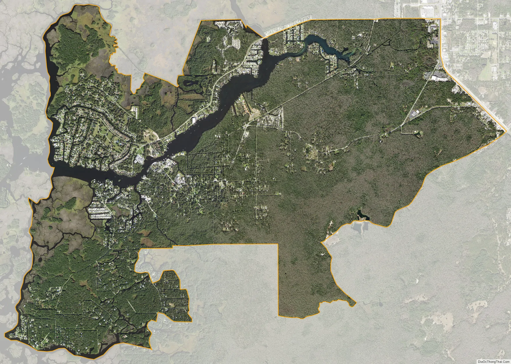
Homosassa city Satellite Map
Geography
Homosassa is located in southwestern Citrus County, to the west of U.S. Routes 19 and 98 (Suncoast Boulevard). The CDP extends west on both sides of the Homosassa River to a network of marshes and islands that lead to the Gulf of Mexico. The original settlement of Homosassa is located on the south side of the Homosassa River, 3 miles (5 km) west of Homosassa Springs by either West Fishbowl Drive or West Yulee Drive.
According to the United States Census Bureau, the CDP has a total area of 8.3 square miles (21.5 km), of which 7.8 square miles (20.1 km) is land and 0.54 square miles (1.4 km), or 6.30%, is water.
See also
Map of Florida State and its subdivision:- Alachua
- Baker
- Bay
- Bradford
- Brevard
- Broward
- Calhoun
- Charlotte
- Citrus
- Clay
- Collier
- Columbia
- Desoto
- Dixie
- Duval
- Escambia
- Flagler
- Franklin
- Gadsden
- Gilchrist
- Glades
- Gulf
- Hamilton
- Hardee
- Hendry
- Hernando
- Highlands
- Hillsborough
- Holmes
- Indian River
- Jackson
- Jefferson
- Lafayette
- Lake
- Lee
- Leon
- Levy
- Liberty
- Madison
- Manatee
- Marion
- Martin
- Miami-Dade
- Monroe
- Nassau
- Okaloosa
- Okeechobee
- Orange
- Osceola
- Palm Beach
- Pasco
- Pinellas
- Polk
- Putnam
- Saint Johns
- Saint Lucie
- Santa Rosa
- Sarasota
- Seminole
- Sumter
- Suwannee
- Taylor
- Union
- Volusia
- Wakulla
- Walton
- Washington
- Alabama
- Alaska
- Arizona
- Arkansas
- California
- Colorado
- Connecticut
- Delaware
- District of Columbia
- Florida
- Georgia
- Hawaii
- Idaho
- Illinois
- Indiana
- Iowa
- Kansas
- Kentucky
- Louisiana
- Maine
- Maryland
- Massachusetts
- Michigan
- Minnesota
- Mississippi
- Missouri
- Montana
- Nebraska
- Nevada
- New Hampshire
- New Jersey
- New Mexico
- New York
- North Carolina
- North Dakota
- Ohio
- Oklahoma
- Oregon
- Pennsylvania
- Rhode Island
- South Carolina
- South Dakota
- Tennessee
- Texas
- Utah
- Vermont
- Virginia
- Washington
- West Virginia
- Wisconsin
- Wyoming