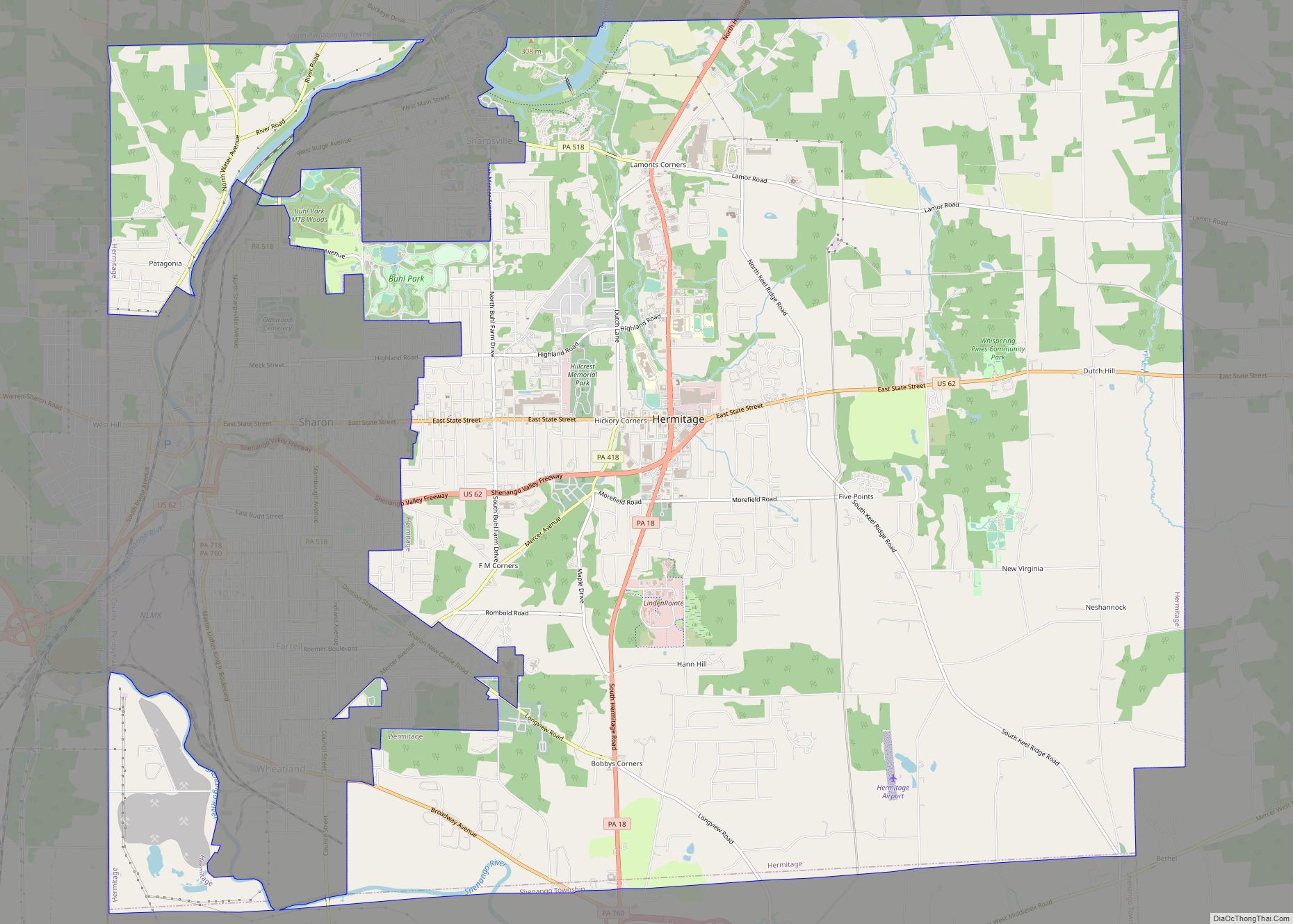
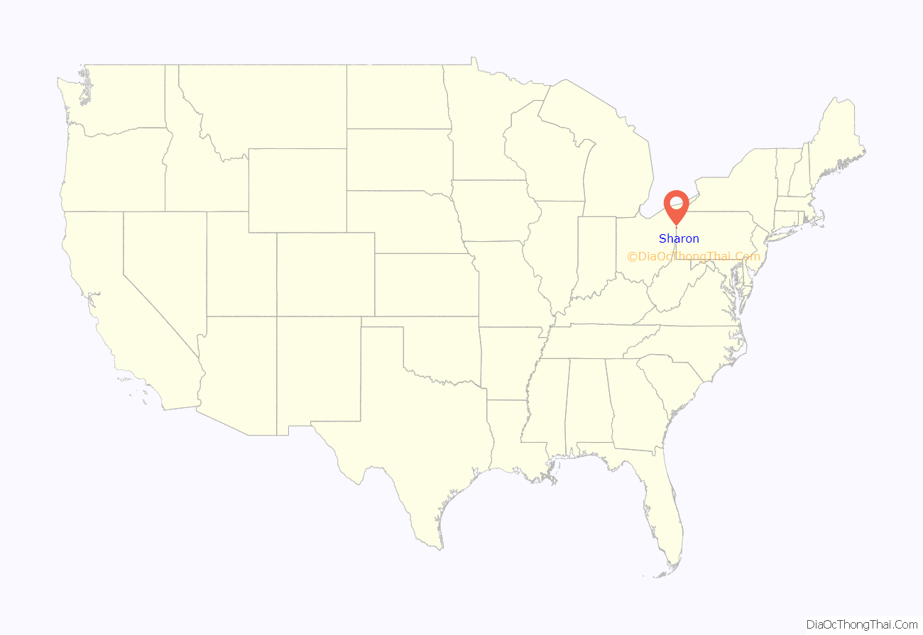
Sharon is a city in western Mercer County, Pennsylvania, United States. The city, located along the banks of the Shenango River on the state border with Ohio, is about 15 miles (24 km) northeast of Youngstown, about 65 miles (105 km) southeast of Cleveland and about 60 miles (97 km) northwest of Pittsburgh. The population was 13,147 at the 2020 census. It is a part of the Youngstown–Warren metropolitan area.
| Name: | Sharon city |
|---|---|
| LSAD Code: | 25 |
| LSAD Description: | city (suffix) |
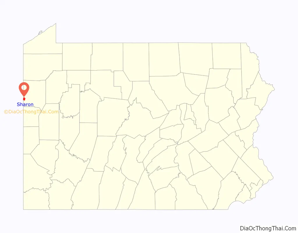
| State: | Pennsylvania |
| County: | Mercer County |
| Elevation: | 1,000 ft (300 m) |
| Total Area: | 3.77 sq mi (9.77 km²) |
| Land Area: | 3.77 sq mi (9.77 km²) |
| Water Area: | 0.00 sq mi (0.00 km²) 0% |
| Total Population: | 13,147 |
| Population Density: | 3,487.27/sq mi (1,345.65/km²) |
| Area code: | 724, 878 |
| FIPS code: | 4269720 |
| Website: | www.cityofsharon.net |
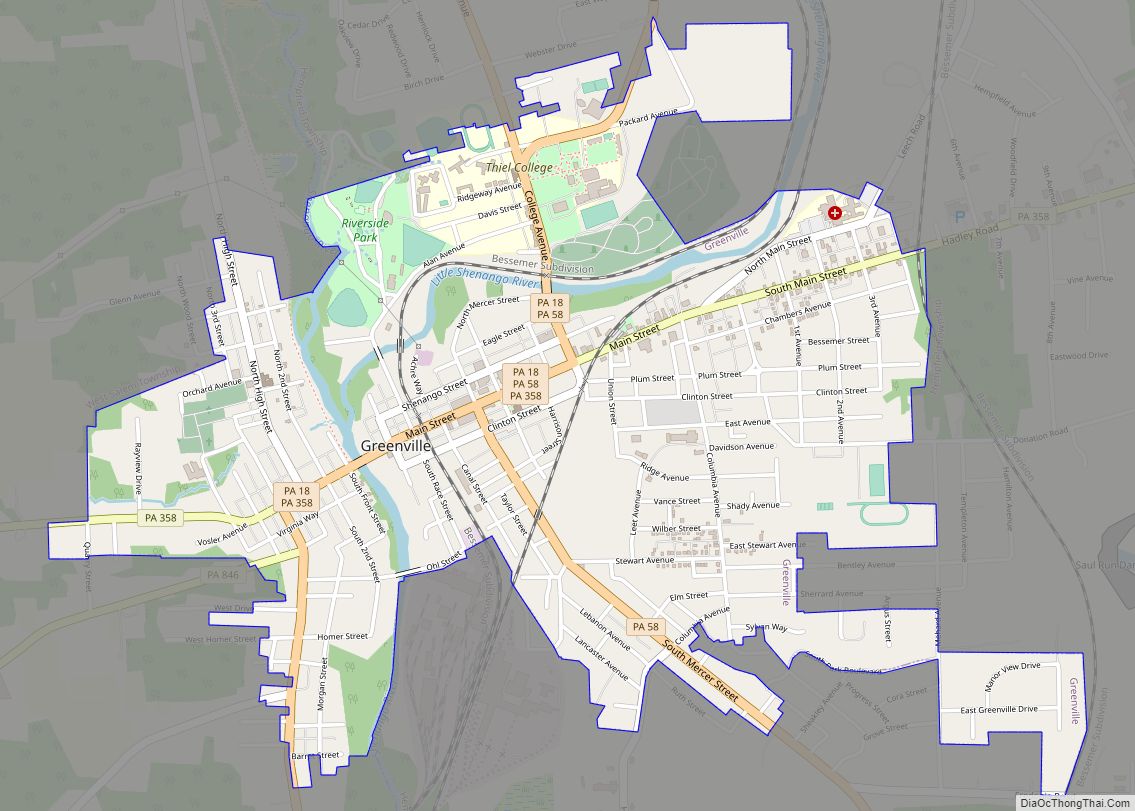
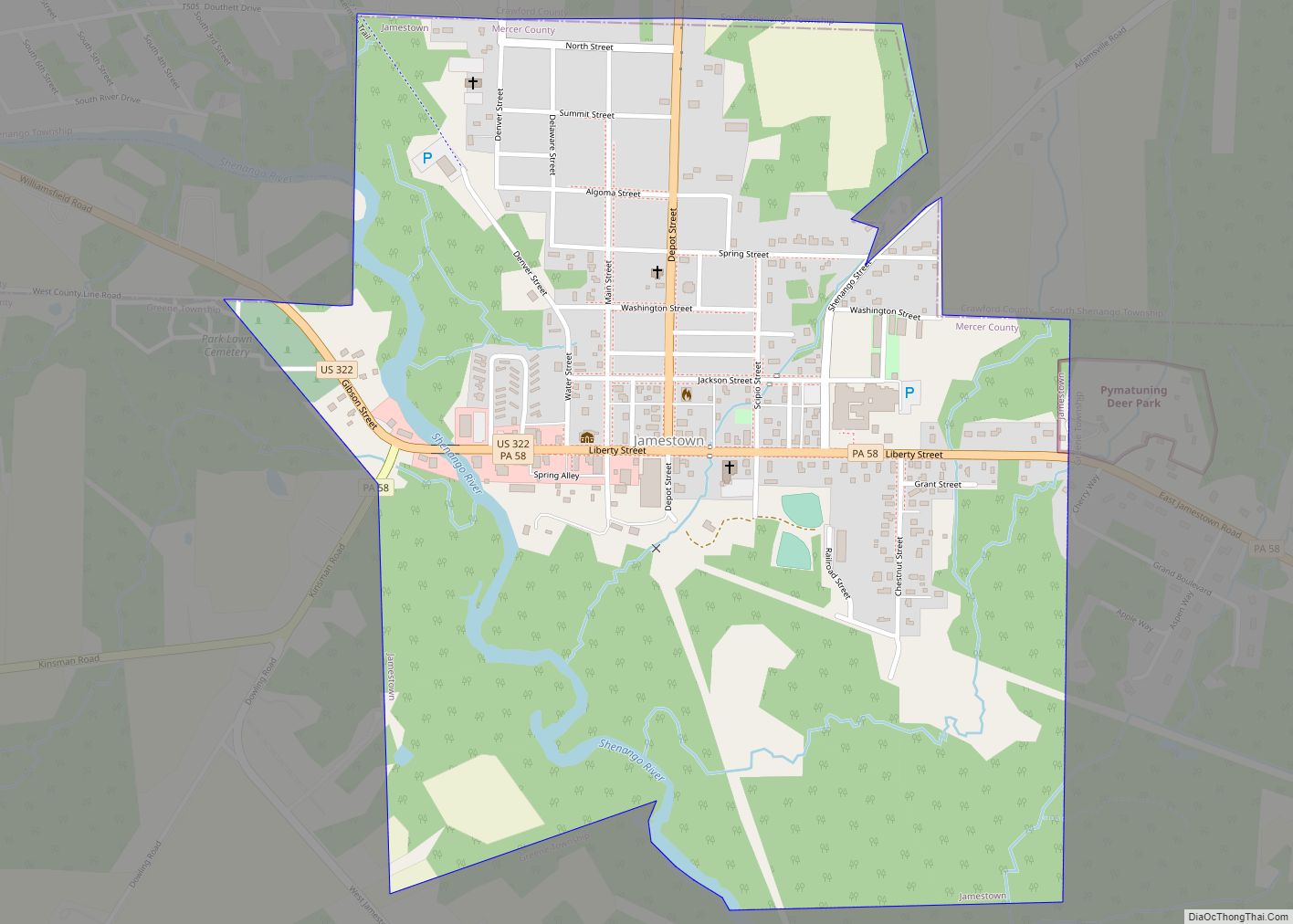
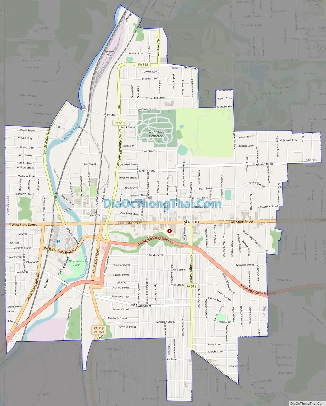
Online Interactive Map
Click on ![]() to view map in "full screen" mode.
to view map in "full screen" mode.
Sharon location map. Where is Sharon city?
History
The Sharon area was first settled in 1795. It was incorporated as a borough on October 6, 1841, and incorporated as a city on December 17, 1918. The city operated under the Pennsylvania third-class city code until 2008, at which point it adopted a home rule charter under which the elected position of mayor was replaced with a hired city manager and financial officer.
The founding families of Sharon first settled on a flat plain bordering the Shenango River, between two hills on the southwestern edge of what is today Sharon’s downtown business district. According to local legend, the community received its name from a Bible-reading settler who likened the location to the Plain of Sharon in Israel.
Initially a center of coal mining, Sharon’s economy transitioned to iron and steelmaking and other heavy industry after the arrival of the Erie Extension Canal in the 1840s. Following extensive national deindustrialization of the 1970s and 1980s, the city’s economy diversified and is now based primarily on light industry, education, health care, and social services.
Prior to Prohibition in 1919, Sharon was once home to a large commercial beer brewery, Union Brewing Co., which was forced to close its doors like many U.S. breweries of the era.
The Frank H. Buhl Mansion was added to the National Register of Historic Places in 1977.
Sharon is the home of the original Quaker Steak & Lube, which opened in 1974, and formerly The Vocal Group Hall of Fame.
Sharon Road Map
Sharon city Satellite Map

Geography
Sharon is located at 41°13′48″N 80°29′56″W / 41.23000°N 80.49889°W / 41.23000; -80.49889 in southwestern Mercer County. The city borders the city of Hermitage to the north and east, the city of Farrell to the south, and on the west the census-designated places of Masury and West Hill, Ohio.
According to the U.S. Census Bureau, the city has a total area of 3.8 square miles (9.8 km), all land. The Shenango River flows through the city and provides drinking water to Sharon and several surrounding communities.
See also
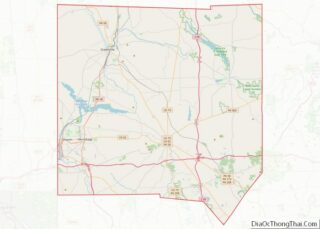
Map of Pennsylvania State and its subdivision:- Adams
- Allegheny
- Armstrong
- Beaver
- Bedford
- Berks
- Blair
- Bradford
- Bucks
- Butler
- Cambria
- Cameron
- Carbon
- Centre
- Chester
- Clarion
- Clearfield
- Clinton
- Columbia
- Crawford
- Cumberland
- Dauphin
- Delaware
- Elk
- Erie
- Fayette
- Forest
- Franklin
- Fulton
- Greene
- Huntingdon
- Indiana
- Jefferson
- Juniata
- Lackawanna
- Lancaster
- Lawrence
- Lebanon
- Lehigh
- Luzerne
- Lycoming
- Mc Kean
- Mercer
- Mifflin
- Monroe
- Montgomery
- Montour
- Northampton
- Northumberland
- Perry
- Philadelphia
- Pike
- Potter
- Schuylkill
- Snyder
- Somerset
- Sullivan
- Susquehanna
- Tioga
- Union
- Venango
- Warren
- Washington
- Wayne
- Westmoreland
- Wyoming
- York
- Alabama
- Alaska
- Arizona
- Arkansas
- California
- Colorado
- Connecticut
- Delaware
- District of Columbia
- Florida
- Georgia
- Hawaii
- Idaho
- Illinois
- Indiana
- Iowa
- Kansas
- Kentucky
- Louisiana
- Maine
- Maryland
- Massachusetts
- Michigan
- Minnesota
- Mississippi
- Missouri
- Montana
- Nebraska
- Nevada
- New Hampshire
- New Jersey
- New Mexico
- New York
- North Carolina
- North Dakota
- Ohio
- Oklahoma
- Oregon
- Pennsylvania
- Rhode Island
- South Carolina
- South Dakota
- Tennessee
- Texas
- Utah
- Vermont
- Virginia
- Washington
- West Virginia
- Wisconsin
- Wyoming