Crouch is a city in Boise County, Idaho, United States. The population was 162 at the 2010 census. It is part of the Boise City–Nampa, Idaho Metropolitan Statistical Area. In 2018, it has multiple commercial businesses for tourists and residents: a small grocery mart, a hardware store, three restaurants, a bar, The Starlight Mountain Theater, and a community thrift store. At that time, the construction of the Banks/Lowman road 2512A, The “Wildlife Canyon Scenic Byway highway, transformed a small unpaved road unto a paved modern road between Crouch and Lowman. Now it is a fully modern paved roadway with informational and white water rafting pull outs which serves to transport tourists, rafters, commuters, and other traffic across the middle Idaho region.
The city was founded in 1934, and then incorporated as a City in 1951 to bring legal alcohol and gambling to the area.
The current mayor is Trevor Schiefelbein.
| Name: | Crouch city |
|---|---|
| LSAD Code: | 25 |
| LSAD Description: | city (suffix) |
| State: | Idaho |
| County: | Boise County |
| Elevation: | 3,048 ft (929 m) |
| Total Area: | 0.38 sq mi (0.98 km²) |
| Land Area: | 0.36 sq mi (0.93 km²) |
| Water Area: | 0.02 sq mi (0.05 km²) |
| Total Population: | 162 |
| Population Density: | 508.33/sq mi (196.15/km²) |
| ZIP code: | 83622 |
| Area code: | 208, 986 |
| FIPS code: | 1619720 |
| GNISfeature ID: | 0396348 |
Online Interactive Map
Click on ![]() to view map in "full screen" mode.
to view map in "full screen" mode.
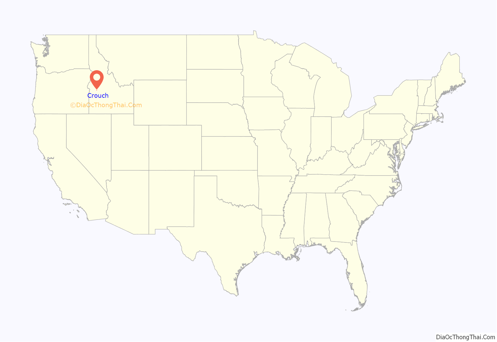
Crouch location map. Where is Crouch city?
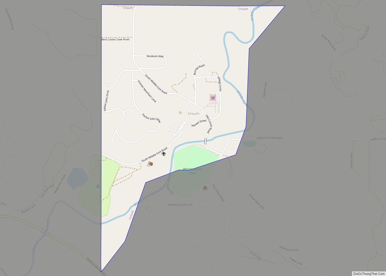
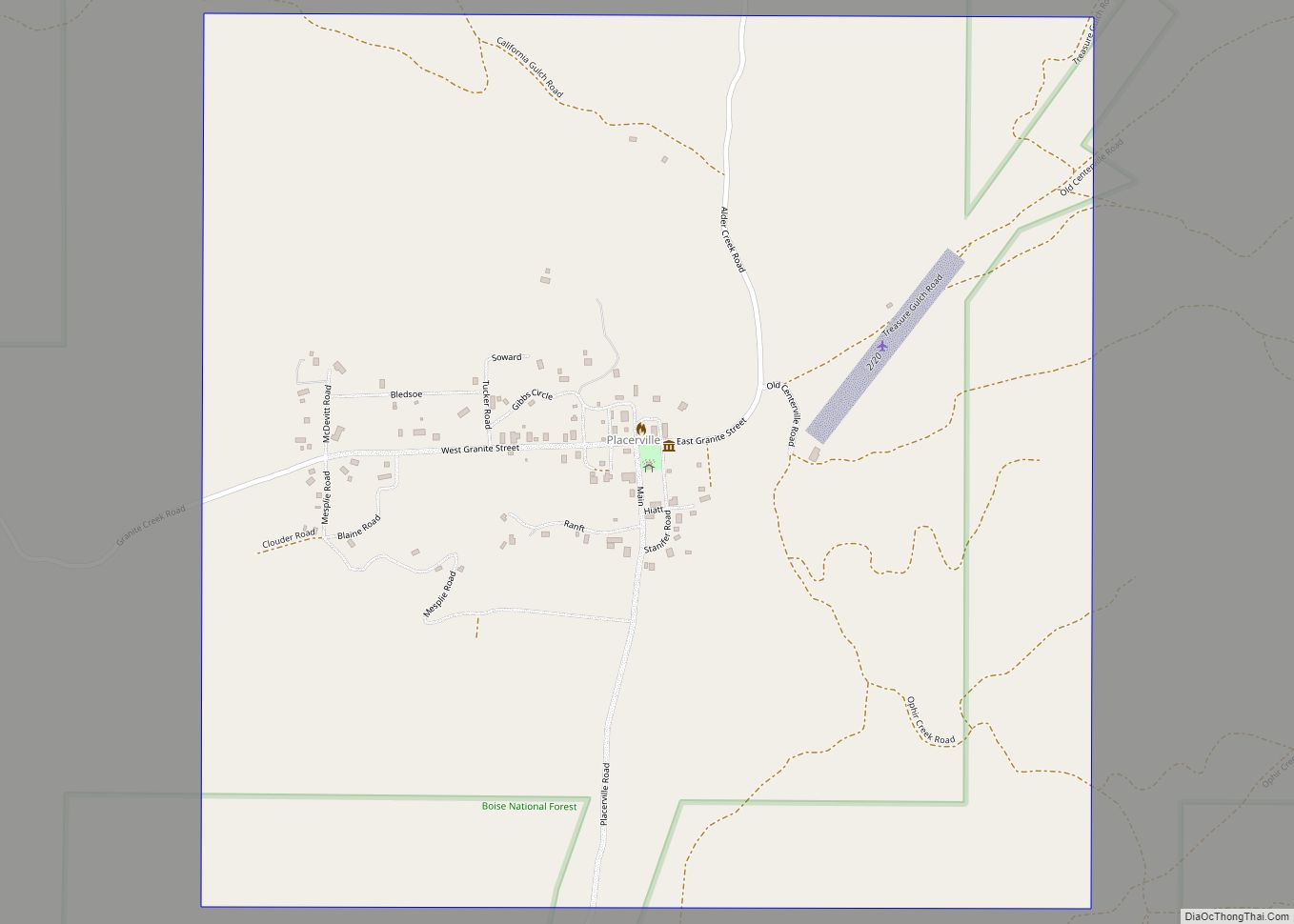
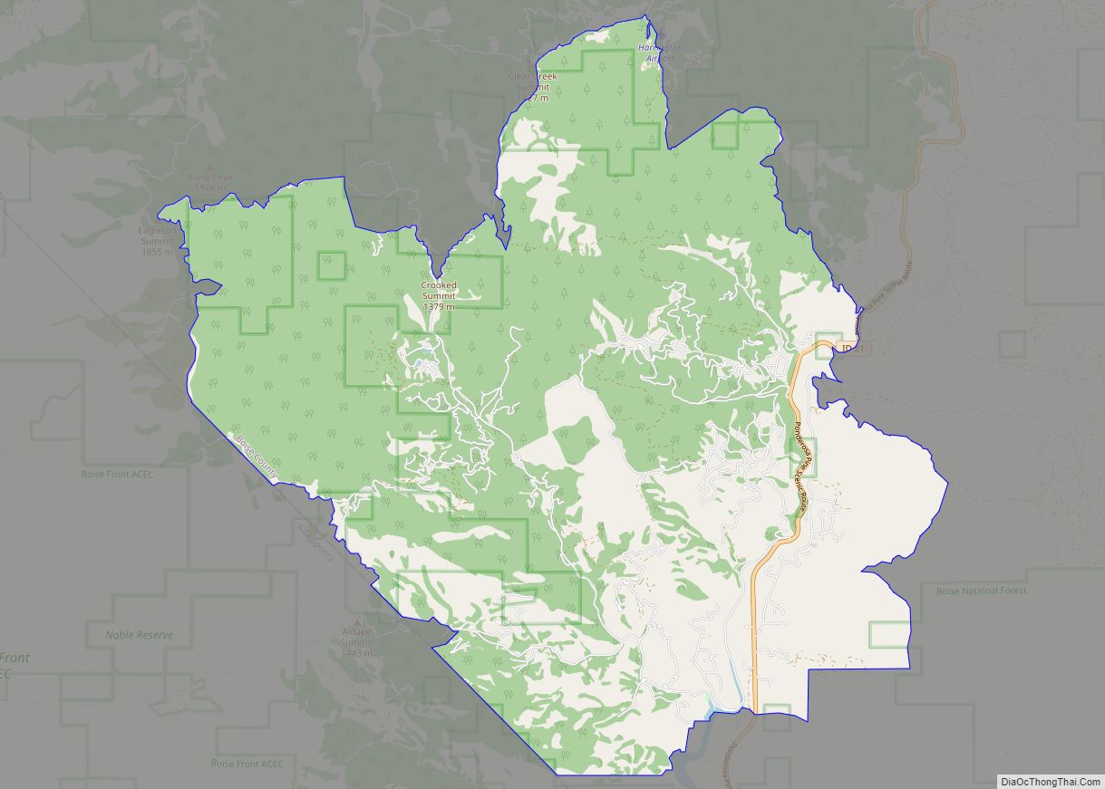
Crouch Road Map
Crouch city Satellite Map
Geography
Crouch is located at 44°6′56″N 115°58′21″W / 44.11556°N 115.97250°W / 44.11556; -115.97250 (44.115496, -115.972536).
According to the United States Census Bureau, the city has a total area of 0.44 square miles (1.14 km), of which, 0.42 square miles (1.09 km) is land and 0.02 square miles (0.05 km) is water.
See also
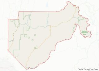
Map of Idaho State and its subdivision:- Ada
- Adams
- Bannock
- Bear Lake
- Benewah
- Bingham
- Blaine
- Boise
- Bonner
- Bonneville
- Boundary
- Butte
- Camas
- Canyon
- Caribou
- Cassia
- Clark
- Clearwater
- Custer
- Elmore
- Franklin
- Fremont
- Gem
- Gooding
- Idaho
- Jefferson
- Jerome
- Kootenai
- Latah
- Lemhi
- Lewis
- Lincoln
- Madison
- Minidoka
- Nez Perce
- Oneida
- Owyhee
- Payette
- Power
- Shoshone
- Teton
- Twin Falls
- Valley
- Washington
- Alabama
- Alaska
- Arizona
- Arkansas
- California
- Colorado
- Connecticut
- Delaware
- District of Columbia
- Florida
- Georgia
- Hawaii
- Idaho
- Illinois
- Indiana
- Iowa
- Kansas
- Kentucky
- Louisiana
- Maine
- Maryland
- Massachusetts
- Michigan
- Minnesota
- Mississippi
- Missouri
- Montana
- Nebraska
- Nevada
- New Hampshire
- New Jersey
- New Mexico
- New York
- North Carolina
- North Dakota
- Ohio
- Oklahoma
- Oregon
- Pennsylvania
- Rhode Island
- South Carolina
- South Dakota
- Tennessee
- Texas
- Utah
- Vermont
- Virginia
- Washington
- West Virginia
- Wisconsin
- Wyoming
