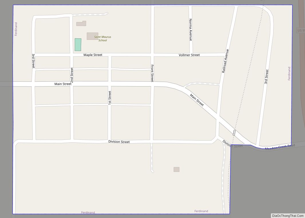
Ferdinand is a city in Idaho County, Idaho, United States. The population was 159 at the 2010 census, up from 145 in 2000. At the southern end of the Nez Perce Indian Reservation, it was founded by F.M. Bieker shortly after the reservation was opened for settlement in 1895. It was named after Ferdinand, Indiana, where his mother’s family had lived.
| Name: | Ferdinand city |
|---|---|
| LSAD Code: | 25 |
| LSAD Description: | city (suffix) |
| State: | Idaho |
| County: | Idaho County |
| Elevation: | 3,720 ft (1,130 m) |
| Total Area: | 0.17 sq mi (0.45 km²) |
| Land Area: | 0.17 sq mi (0.45 km²) |
| Water Area: | 0.00 sq mi (0.00 km²) |
| Total Population: | 159 |
| Population Density: | 925.71/sq mi (358.13/km²) |
| ZIP code: | 83526 |
| Area code: | 208 |
| FIPS code: | 1627460 |
| GNISfeature ID: | 0396483 |
Online Interactive Map
Click on ![]() to view map in "full screen" mode.
to view map in "full screen" mode.
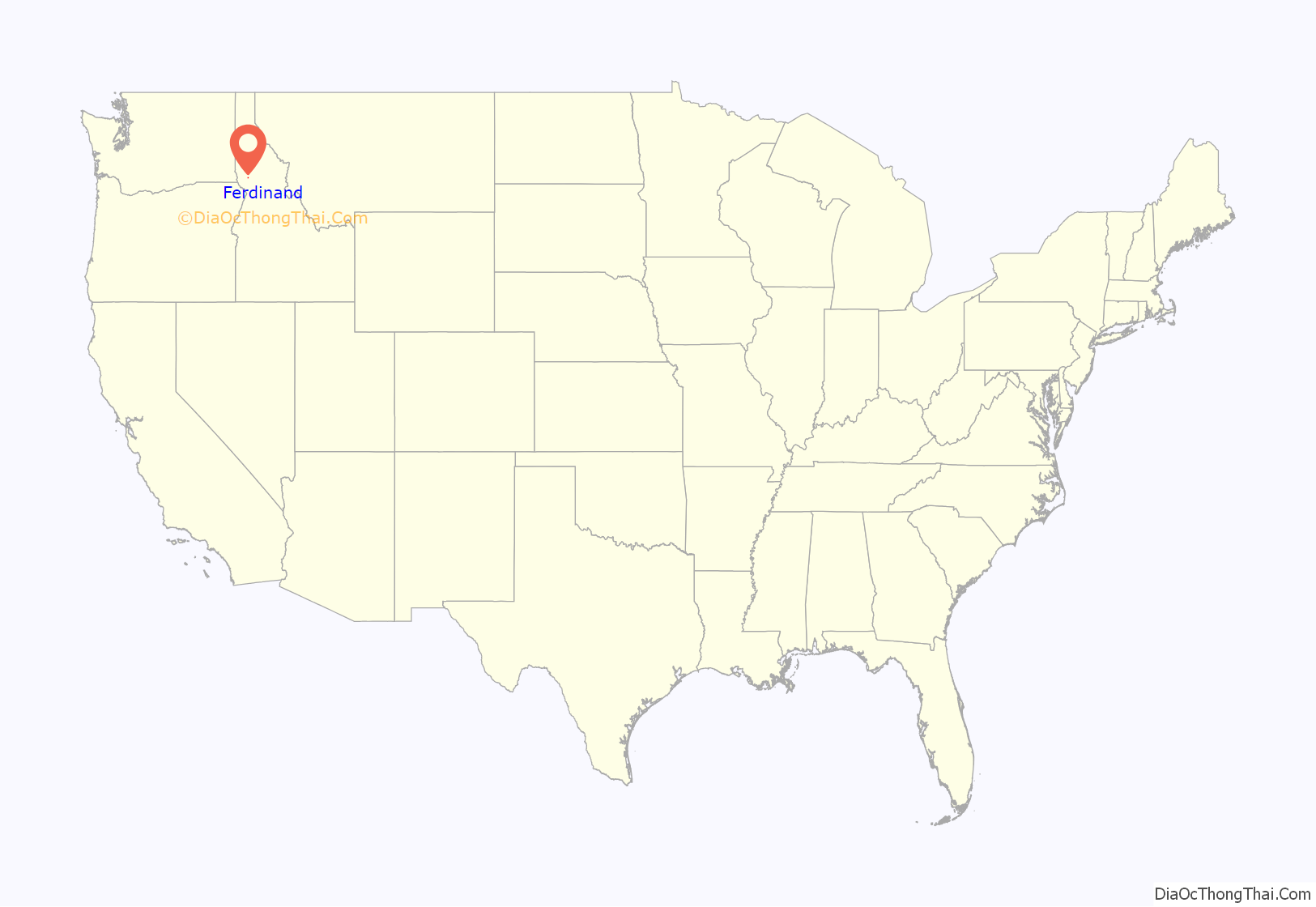
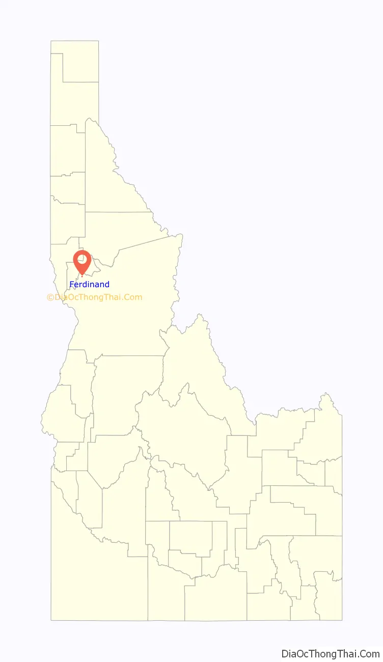
Ferdinand location map. Where is Ferdinand city?
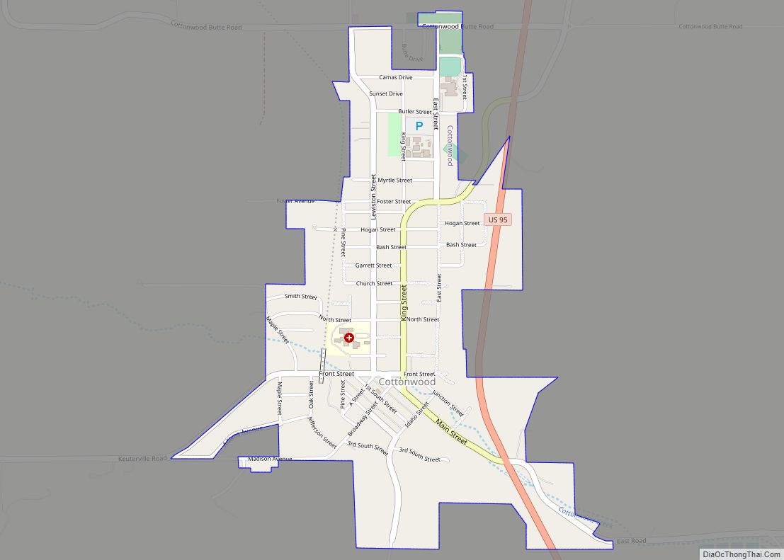
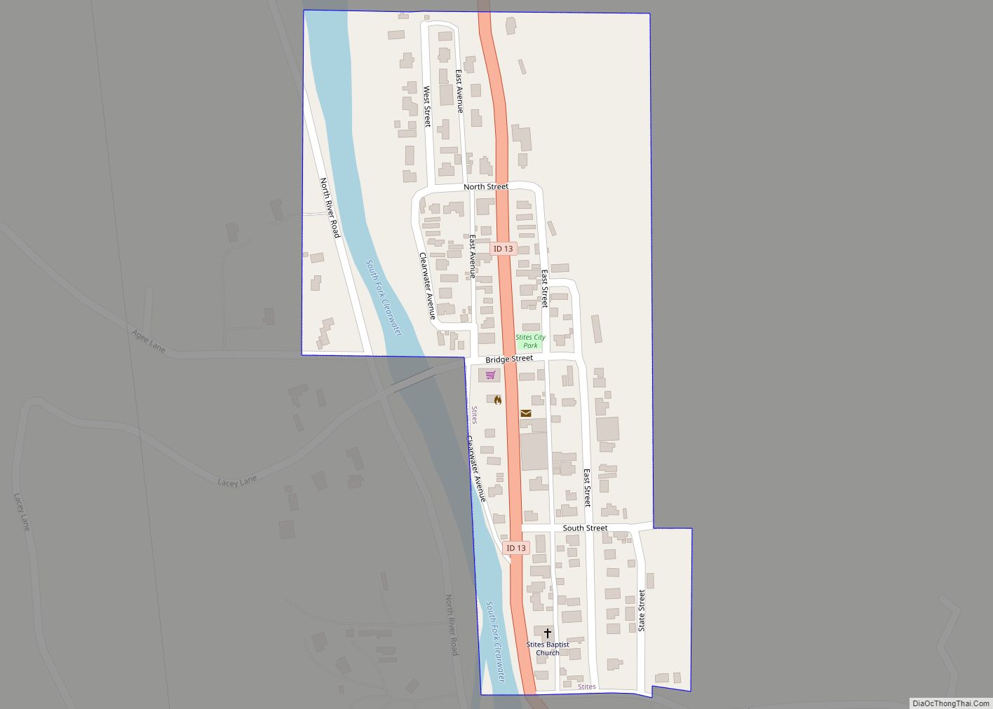
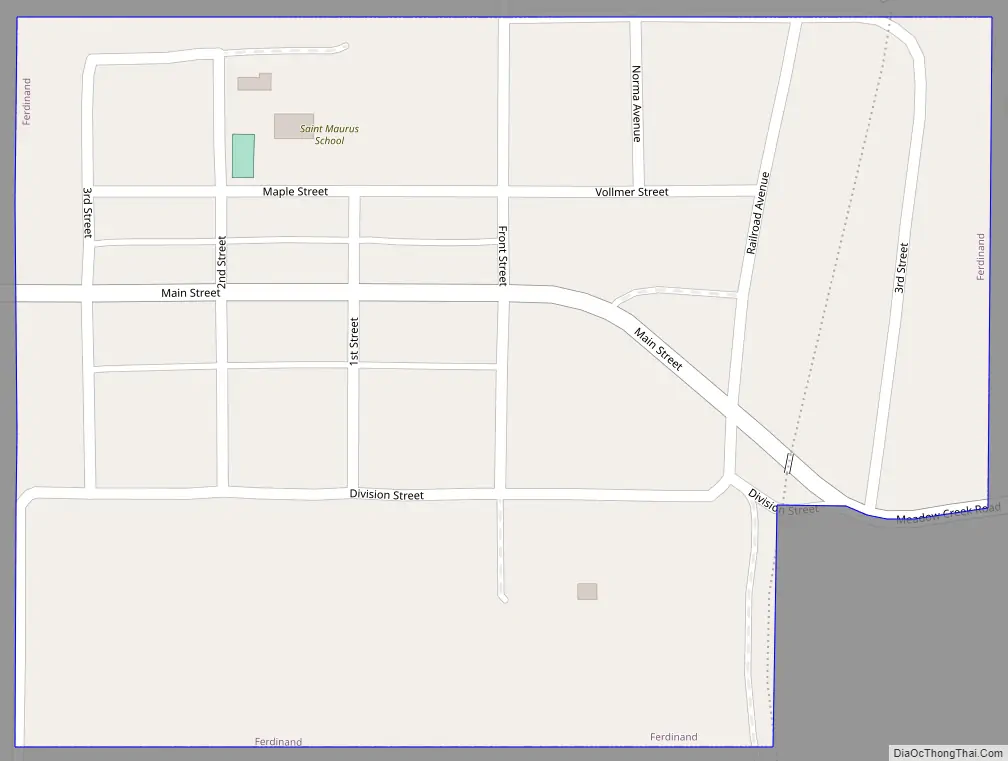
Ferdinand Road Map
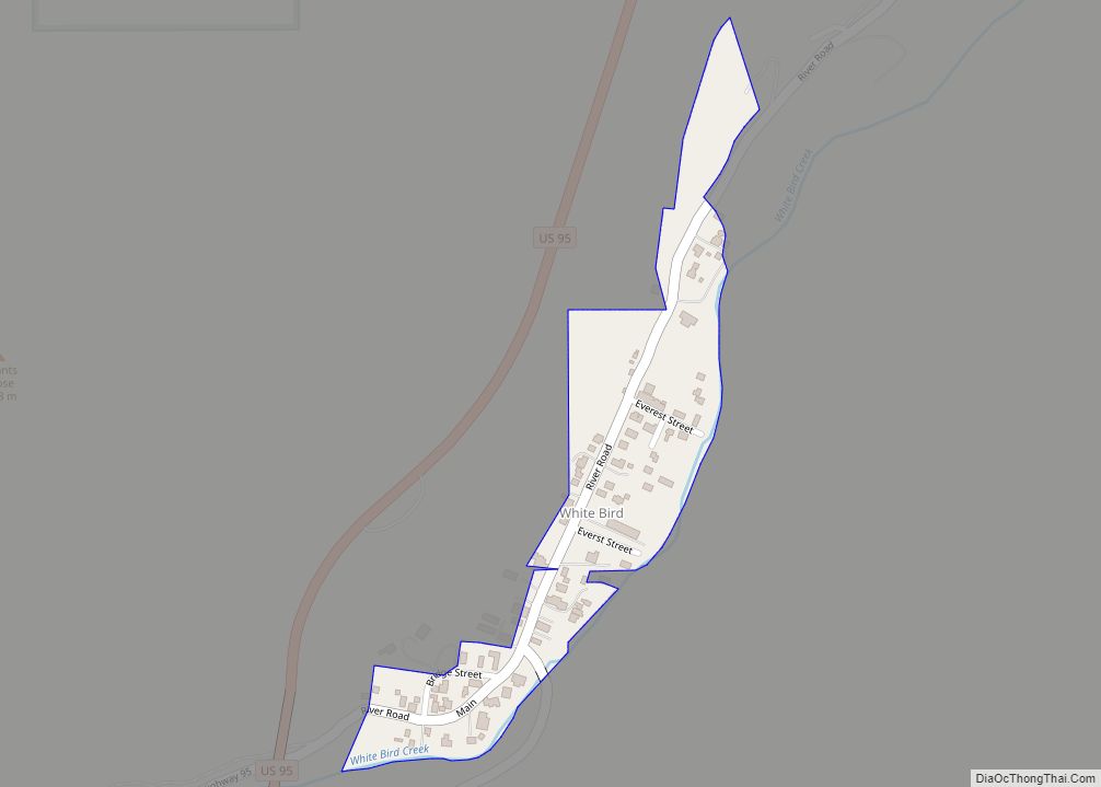
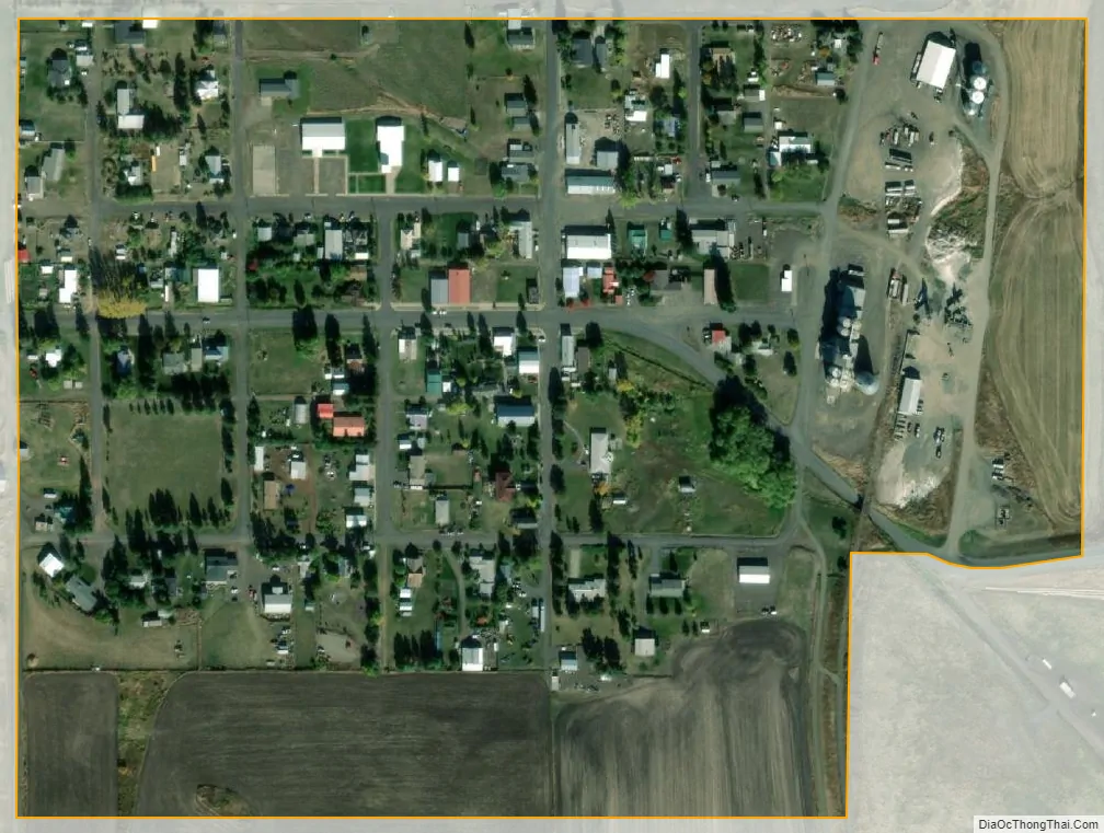
Ferdinand city Satellite Map
Geography
Ferdinand is located at 46°9′10″N 116°23′26″W / 46.15278°N 116.39056°W / 46.15278; -116.39056 (46.152701, -116.390438), at an elevation of 3,720 feet (1,130 m) above sea level on the Camas Prairie.
According to the United States Census Bureau, the city has a total area of 0.15 square miles (0.39 km), all of it land.
See also
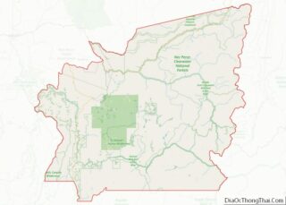
Map of Idaho State and its subdivision:- Ada
- Adams
- Bannock
- Bear Lake
- Benewah
- Bingham
- Blaine
- Boise
- Bonner
- Bonneville
- Boundary
- Butte
- Camas
- Canyon
- Caribou
- Cassia
- Clark
- Clearwater
- Custer
- Elmore
- Franklin
- Fremont
- Gem
- Gooding
- Idaho
- Jefferson
- Jerome
- Kootenai
- Latah
- Lemhi
- Lewis
- Lincoln
- Madison
- Minidoka
- Nez Perce
- Oneida
- Owyhee
- Payette
- Power
- Shoshone
- Teton
- Twin Falls
- Valley
- Washington
- Alabama
- Alaska
- Arizona
- Arkansas
- California
- Colorado
- Connecticut
- Delaware
- District of Columbia
- Florida
- Georgia
- Hawaii
- Idaho
- Illinois
- Indiana
- Iowa
- Kansas
- Kentucky
- Louisiana
- Maine
- Maryland
- Massachusetts
- Michigan
- Minnesota
- Mississippi
- Missouri
- Montana
- Nebraska
- Nevada
- New Hampshire
- New Jersey
- New Mexico
- New York
- North Carolina
- North Dakota
- Ohio
- Oklahoma
- Oregon
- Pennsylvania
- Rhode Island
- South Carolina
- South Dakota
- Tennessee
- Texas
- Utah
- Vermont
- Virginia
- Washington
- West Virginia
- Wisconsin
- Wyoming