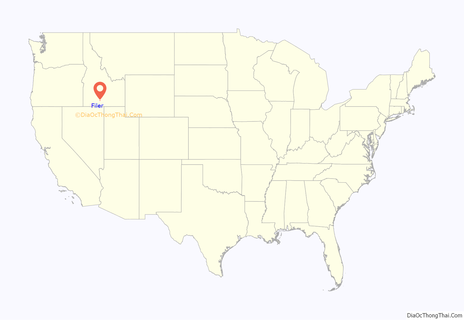
Filer (FĪ-ler) is a city in Twin Falls County, Idaho, United States. The population was 2,508 at the 2010 census. Filer is located just west of the intersection of U.S. Routes 93 and 30.
| Name: | Filer city |
|---|---|
| LSAD Code: | 25 |
| LSAD Description: | city (suffix) |
| State: | Idaho |
| County: | Twin Falls County |
| Founded: | 1906 |
| Elevation: | 3,767 ft (1,148 m) |
| Total Area: | 1.02 sq mi (2.65 km²) |
| Land Area: | 1.02 sq mi (2.65 km²) |
| Water Area: | 0.00 sq mi (0.00 km²) |
| Total Population: | 2,508 |
| Population Density: | 2,870.71/sq mi (1,107.92/km²) |
| ZIP code: | 83328 |
| Area code: | 208, 986 |
| FIPS code: | 1627730 |
| GNISfeature ID: | 0395845 |
| Website: | www.cityoffiler.com |
Online Interactive Map
Click on ![]() to view map in "full screen" mode.
to view map in "full screen" mode.
Filer location map. Where is Filer city?
History
The city of Filer was named after Walter G. Filer, who served as general manager of the Twin Falls Water and Land Company. The city was established in 1906 as the terminus of the Oregon Short Line branch of Twin Falls. Walter Filer was a mining engineer and surveyor from Sharon, Pennsylvania, who supervised the construction of the Milner diversion dam on the Snake River. Since 1916, the City of Filer has been the home of the Twin Falls County Fair and Rodeo (Magic Valley Stampede).
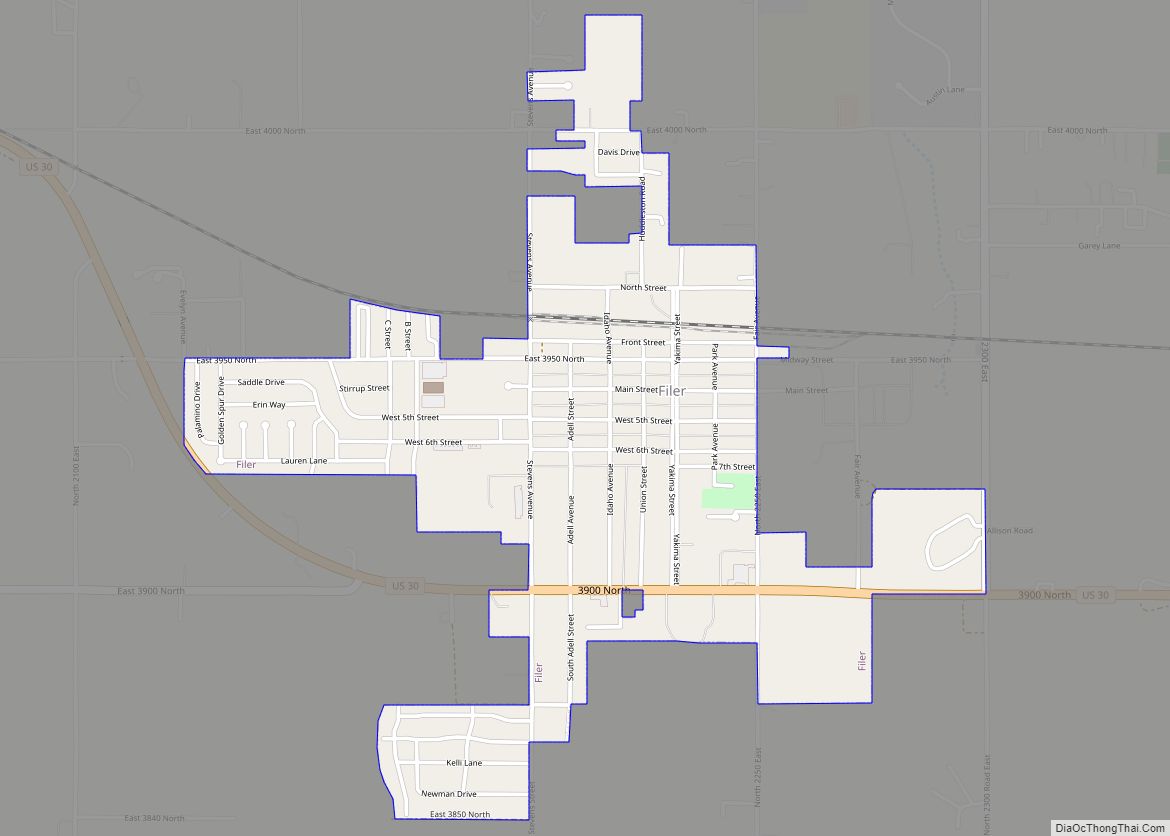
Filer Road Map
Filer city Satellite Map
Geography
Filer is located at 42°34′11″N 114°36′41″W / 42.56972°N 114.61139°W / 42.56972; -114.61139 (42.569814, -114.611313), at an elevation of 3,766 feet (1,148 m) above sea level.
According to the United States Census Bureau, the city has a total area of 1.06 square miles (2.75 km), all of it land.
See also
Map of Idaho State and its subdivision:- Ada
- Adams
- Bannock
- Bear Lake
- Benewah
- Bingham
- Blaine
- Boise
- Bonner
- Bonneville
- Boundary
- Butte
- Camas
- Canyon
- Caribou
- Cassia
- Clark
- Clearwater
- Custer
- Elmore
- Franklin
- Fremont
- Gem
- Gooding
- Idaho
- Jefferson
- Jerome
- Kootenai
- Latah
- Lemhi
- Lewis
- Lincoln
- Madison
- Minidoka
- Nez Perce
- Oneida
- Owyhee
- Payette
- Power
- Shoshone
- Teton
- Twin Falls
- Valley
- Washington
- Alabama
- Alaska
- Arizona
- Arkansas
- California
- Colorado
- Connecticut
- Delaware
- District of Columbia
- Florida
- Georgia
- Hawaii
- Idaho
- Illinois
- Indiana
- Iowa
- Kansas
- Kentucky
- Louisiana
- Maine
- Maryland
- Massachusetts
- Michigan
- Minnesota
- Mississippi
- Missouri
- Montana
- Nebraska
- Nevada
- New Hampshire
- New Jersey
- New Mexico
- New York
- North Carolina
- North Dakota
- Ohio
- Oklahoma
- Oregon
- Pennsylvania
- Rhode Island
- South Carolina
- South Dakota
- Tennessee
- Texas
- Utah
- Vermont
- Virginia
- Washington
- West Virginia
- Wisconsin
- Wyoming
