Melba is a city in Canyon County, Idaho. The population was 513 at the time of the 2010 census, up from 439 in 2000. It is part of the Boise metropolitan area.
| Name: | Melba city |
|---|---|
| LSAD Code: | 25 |
| LSAD Description: | city (suffix) |
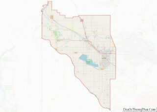
| State: | Idaho |
| County: | Canyon County |
| Elevation: | 2,667 ft (813 m) |
| Total Area: | 0.41 sq mi (1.05 km²) |
| Land Area: | 0.40 sq mi (1.04 km²) |
| Water Area: | 0.01 sq mi (0.02 km²) |
| Total Population: | 513 |
| Population Density: | 1,395.00/sq mi (538.93/km²) |
| ZIP code: | 83641 |
| Area code: | 208 |
| FIPS code: | 1651850 |
| GNISfeature ID: | 0396878 |
| Website: | www.cityofmelba.org |
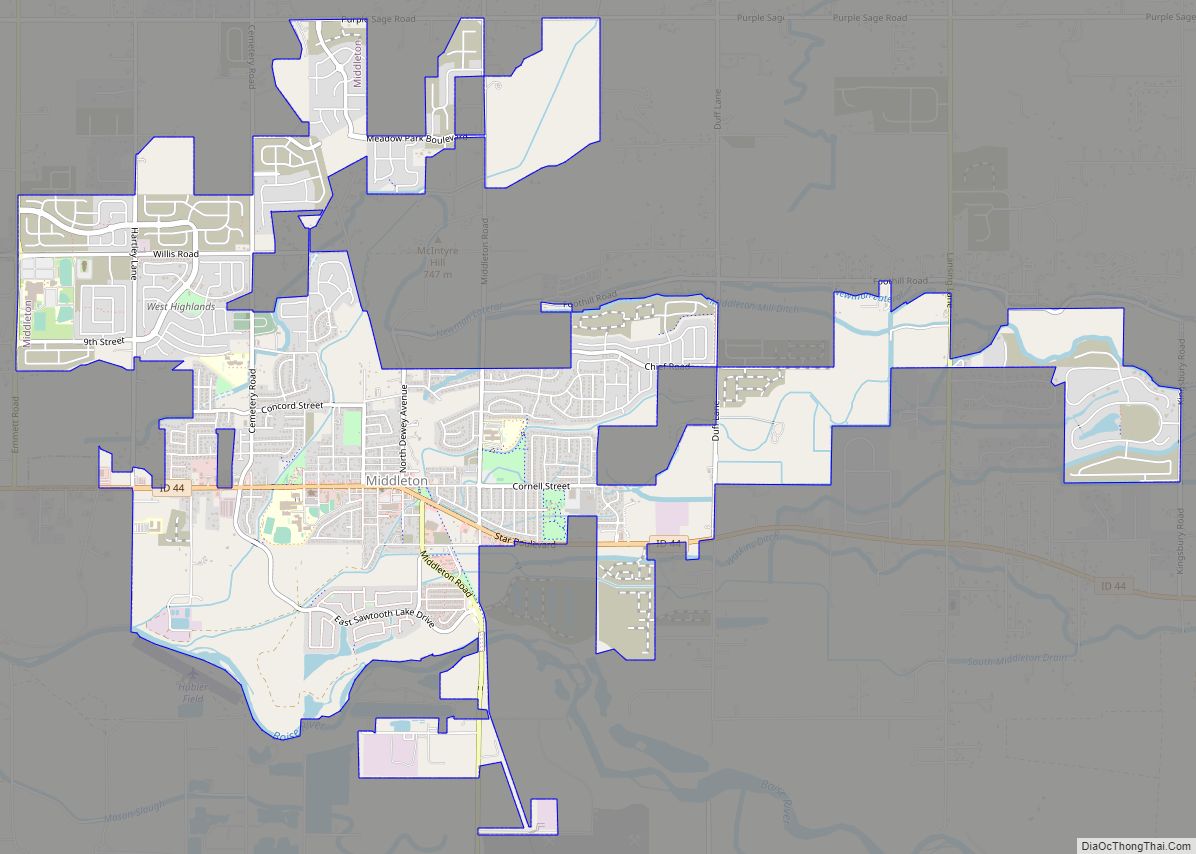
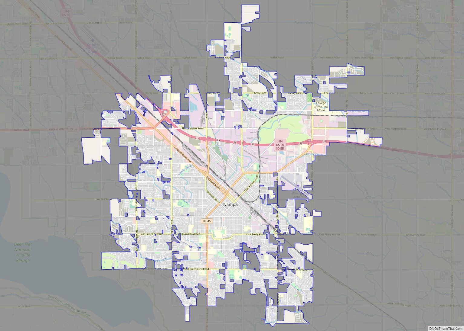
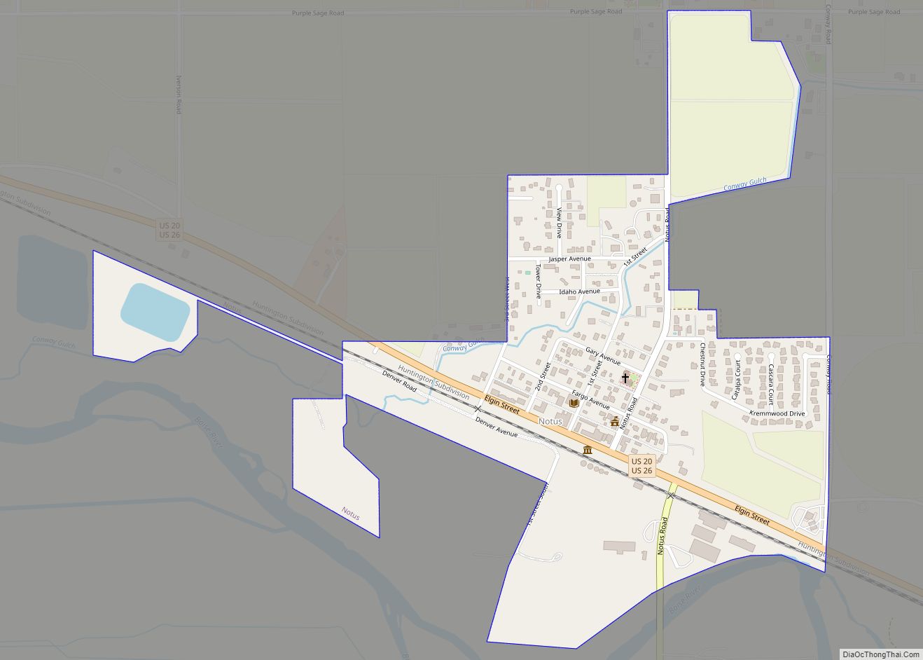
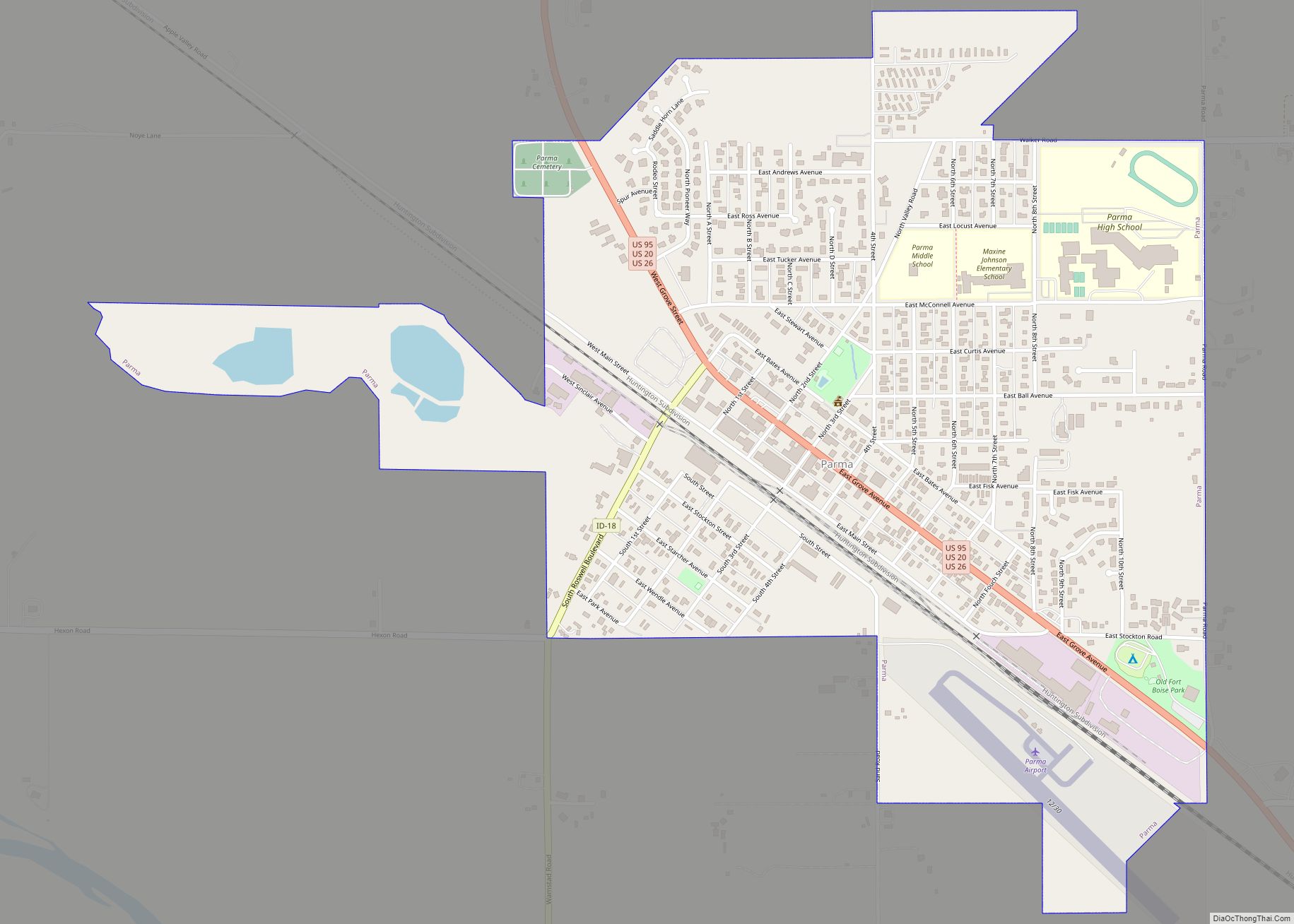
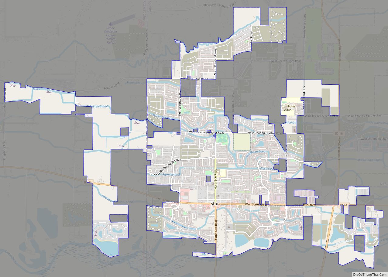
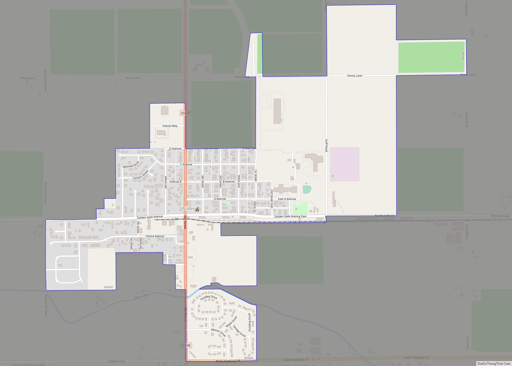
Online Interactive Map
Click on ![]() to view map in "full screen" mode.
to view map in "full screen" mode.
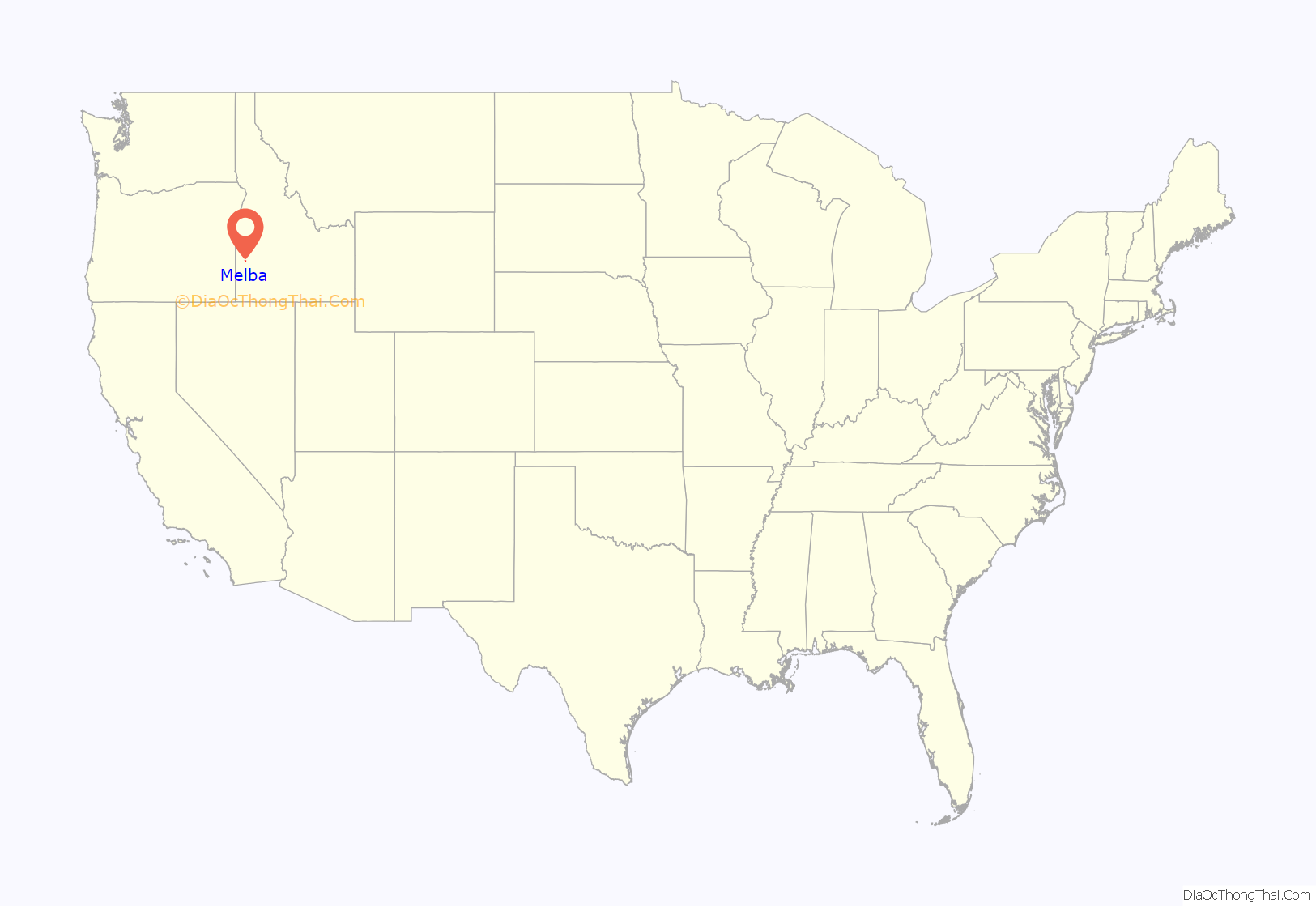
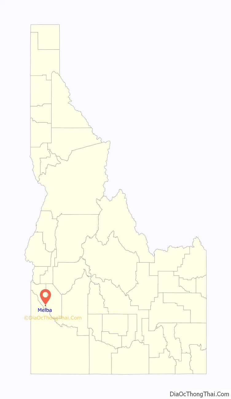
Melba location map. Where is Melba city?
History
Melba was founded in 1912 by Clayton C. Todd, who named it after his daughter.
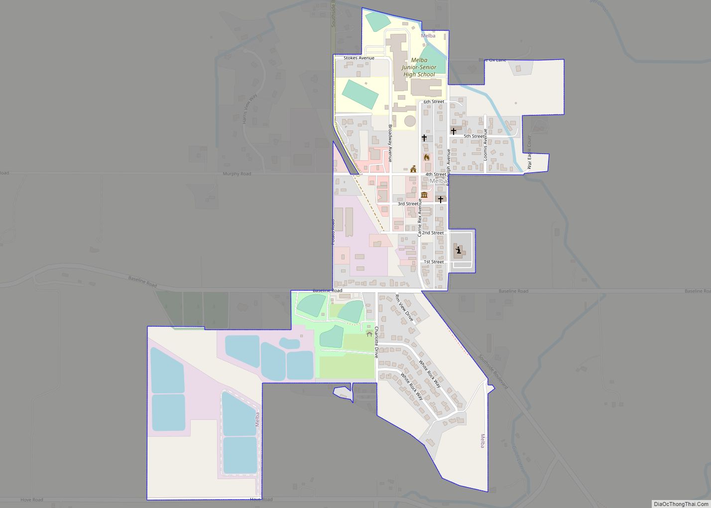
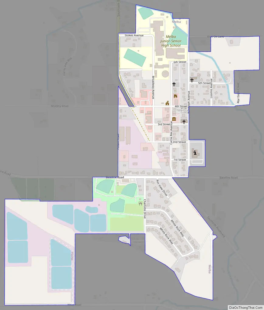
Melba Road Map
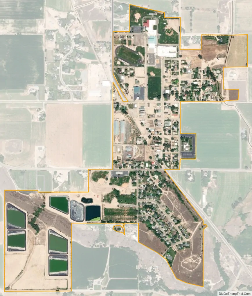
Melba city Satellite Map
Geography
Melba is located at 43°22′25″N 116°31′45″W / 43.37361°N 116.52917°W / 43.37361; -116.52917 (43.373487, -116.529194). at an elevation of 2,667 feet (813 m) above sea level. It is 12 miles (19 km) south of Nampa, and three miles (5 km) northeast of the Snake River.
According to the United States Census Bureau, the city has a total area of 0.40 square miles (1.04 km), of which, 0.39 square miles (1.01 km) is land and 0.01 square miles (0.03 km) is water.
See also
Map of Idaho State and its subdivision:- Ada
- Adams
- Bannock
- Bear Lake
- Benewah
- Bingham
- Blaine
- Boise
- Bonner
- Bonneville
- Boundary
- Butte
- Camas
- Canyon
- Caribou
- Cassia
- Clark
- Clearwater
- Custer
- Elmore
- Franklin
- Fremont
- Gem
- Gooding
- Idaho
- Jefferson
- Jerome
- Kootenai
- Latah
- Lemhi
- Lewis
- Lincoln
- Madison
- Minidoka
- Nez Perce
- Oneida
- Owyhee
- Payette
- Power
- Shoshone
- Teton
- Twin Falls
- Valley
- Washington
- Alabama
- Alaska
- Arizona
- Arkansas
- California
- Colorado
- Connecticut
- Delaware
- District of Columbia
- Florida
- Georgia
- Hawaii
- Idaho
- Illinois
- Indiana
- Iowa
- Kansas
- Kentucky
- Louisiana
- Maine
- Maryland
- Massachusetts
- Michigan
- Minnesota
- Mississippi
- Missouri
- Montana
- Nebraska
- Nevada
- New Hampshire
- New Jersey
- New Mexico
- New York
- North Carolina
- North Dakota
- Ohio
- Oklahoma
- Oregon
- Pennsylvania
- Rhode Island
- South Carolina
- South Dakota
- Tennessee
- Texas
- Utah
- Vermont
- Virginia
- Washington
- West Virginia
- Wisconsin
- Wyoming