Placerville is a populated place in Boise County, Idaho, United States. The population was 53 at the 2010 census. It is part of the Boise City–Nampa, Idaho Metropolitan Statistical Area.
| Name: | Placerville city |
|---|---|
| LSAD Code: | 25 |
| LSAD Description: | city (suffix) |
| State: | Idaho |
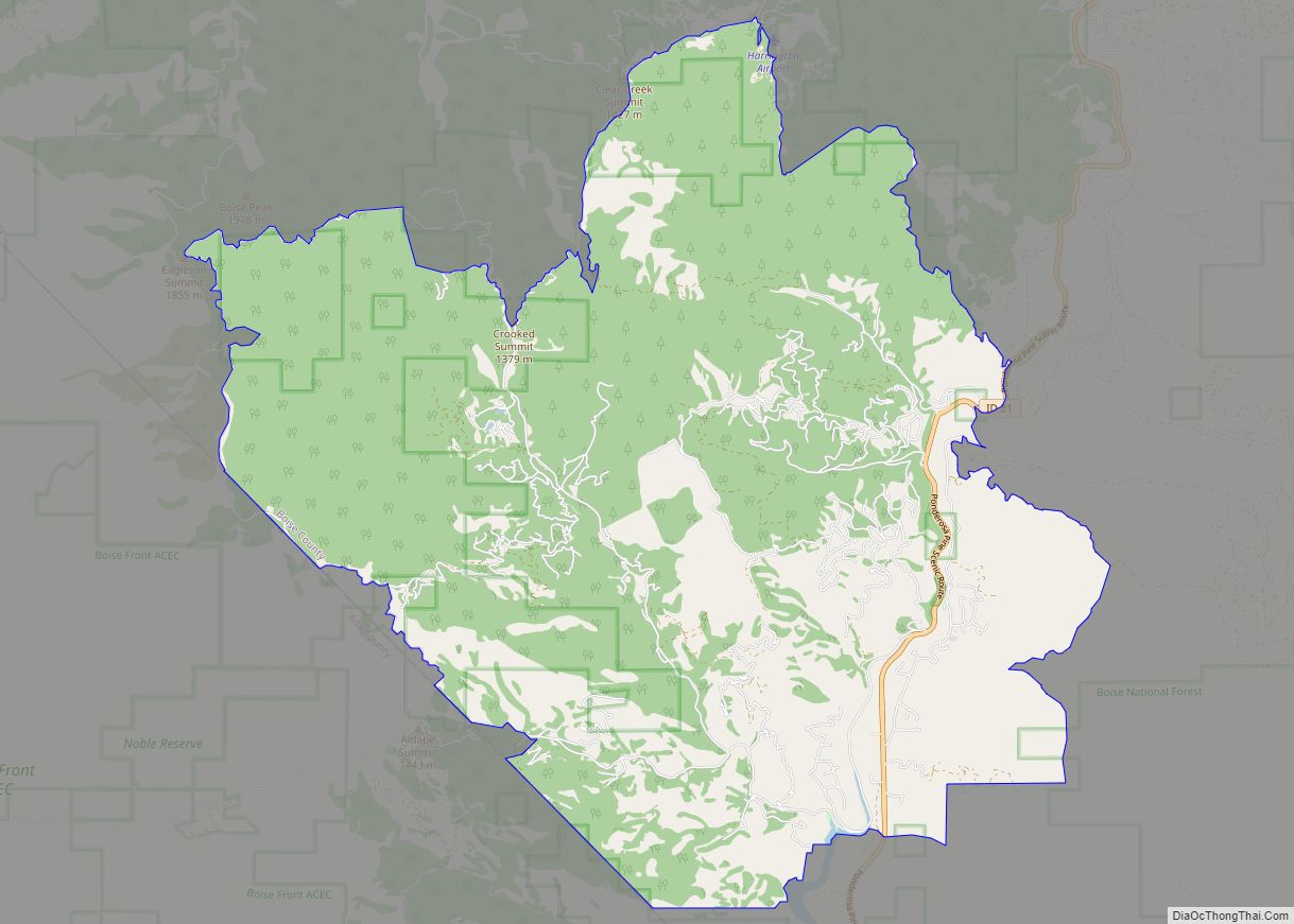
| County: | Boise County |
| Elevation: | 4,324 ft (1,318 m) |
| Total Area: | 1.00 sq mi (2.59 km²) |
| Land Area: | 1.00 sq mi (2.59 km²) |
| Water Area: | 0.00 sq mi (0.00 km²) |
| Total Population: | 53 |
| Population Density: | 57.00/sq mi (22.02/km²) |
| ZIP code: | 83666 |
| Area code: | 208, 986 |
| FIPS code: | 1663550 |
| GNISfeature ID: | 0397043 |
| Website: | placervilleidaho.org |
Online Interactive Map
Click on ![]() to view map in "full screen" mode.
to view map in "full screen" mode.
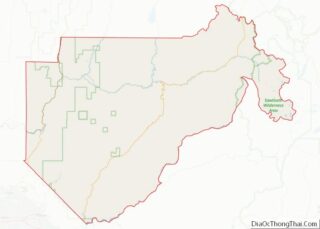
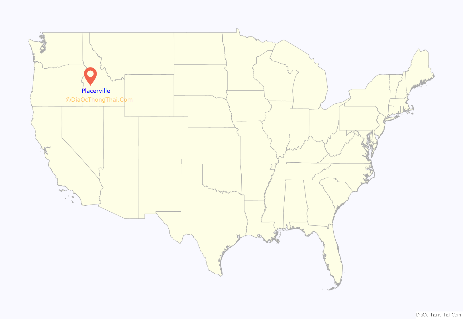
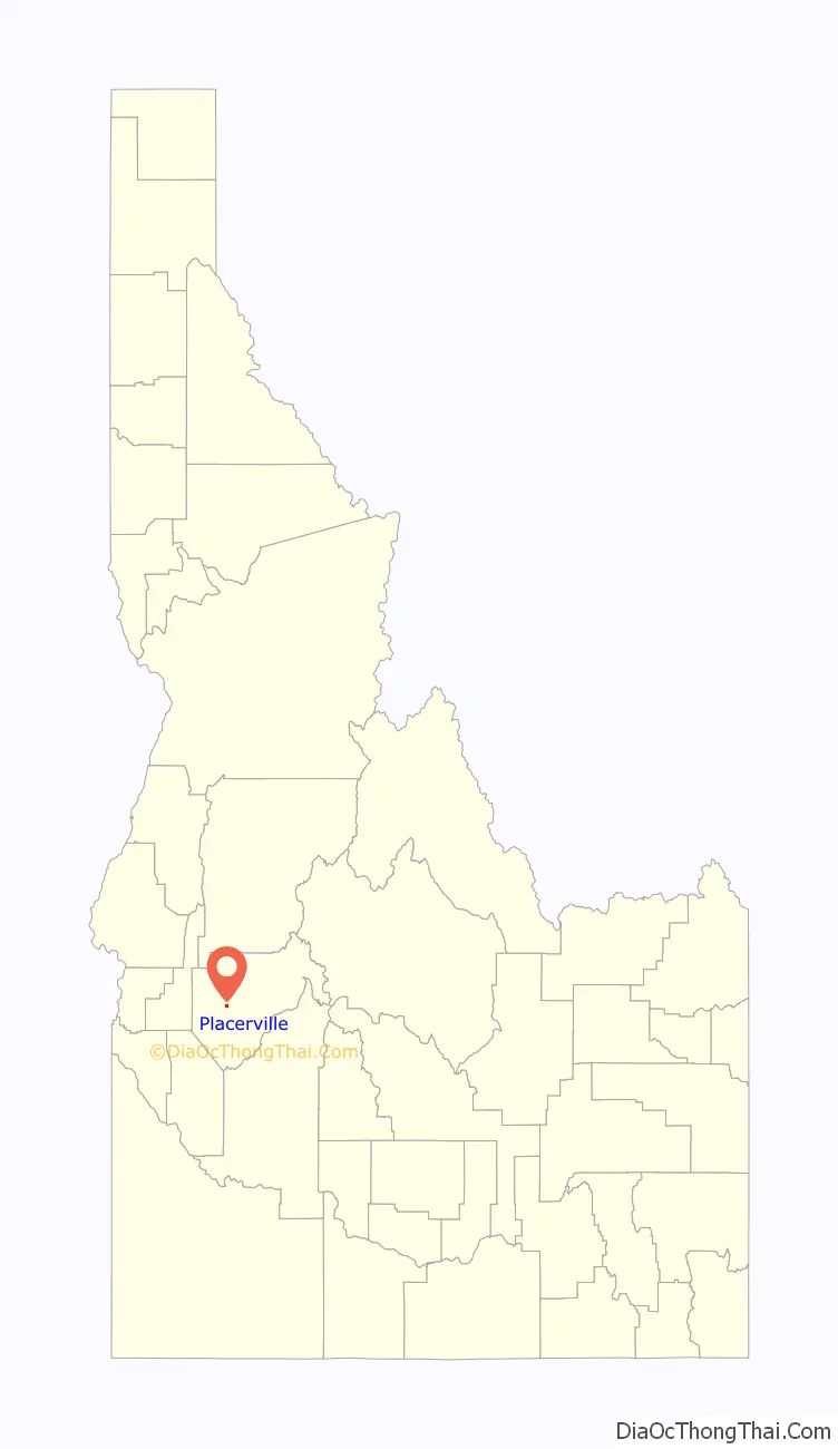
Placerville location map. Where is Placerville city?
History
Placerville received its name because of placer mining in the vicinity. The ghost town is located 17 miles east of Horseshoe Bend. The townsite was selected December 1, 1862; and by December 16 there were six cabins in the camp. By the early summer of 1863, the town had 300 buildings and a population of 5,000. At the meeting of the first legislature held in Lewiston in 1863, the citizens obtained a charter for their city. Father Mesplie, a Catholic priest, held the first church service January 4, 1864, and in that same year a stage line was established between the Basin and Wallua to carry Wells Fargo express. It ran every other day from Placerville and went through in four days. By July 1864, 4500 claims had been recorded in the district.
Unlike the earlier northern Idaho mining areas of Florence (northeast of Riggins) and Pierce, the Boise Basin mines provided good returns over a period of many years, the peak years being 1863–66, during and immediately after the Civil War. For that reason the Boise Basin rush was significant an early Idaho settlement, bringing a substantial number of people who stayed to establish towns and providing a population base for retailing and agricultural settlement in the Boise Valley. Boise Basin had a higher percentage of families than did most mining areas, and the major towns, like Placerville and Idaho City, acquired substantial buildings, lodges, churches, schools, and post offices. Placerville was unusual in that it even had a street grid and a town square, known locally as the “plaza.” Additionally it had an Episcopal church-which is still in use currently, thirteen saloons, seven restaurants, five butcher shops, five blacksmith shops, as well as hotels, druggists, express agents, bakeries, livery barns, carpenters, sawmills, and –attesting to the presence of women—dressmakers and a millinery shop.
Mining in Placerville began with placer workings for gold, but miners soon turned to quartz mining as well. By 1864, a stamp mill was working in the area. Hydraulic giants were also used. By 1870, however, much of the excess population of the region had been drained off to other mining rushes and returns on claims had fallen somewhat. The population in Placerville shrank from 2500 in 1864 to 318 in 1870. By that time a good percentage of the population was Chinese, as the Chinese were allowed to work the less rewarding claims that the white miners would not touch. The Chinese also established services like laundries and restaurants.
Only few early buildings remain in Placerville: as was the case in most mining towns, Placerville suffered more than once from fires that burned a large part of the town. The fire that is most remembered is the 1899 fire, which practically destroyed the town. The streetscape remaining today dates mostly from the rebuilding immediately after that fire and another fire that burned several buildings ten months later.
During the war years Placerville just maintained like the rest of the nation. Wartime restrictions included a suspension of the mining industry. There was no growth — only a feeling of “things have to get better.”
In the early 1970s the upper lots were auctioned off creating what was and are now known as the “upper subdivision.” There were both permanent and vacation homes built on these lots. Then as now there was only one business in Placerville, the city store.
Placerville continues to survive with the few full-time residents and some part-time residents. The Village Market store has closed but Donna’s Place II is open. The tourism industry which includes among others, history seekers, hunters and ATV and snowmobile recreationalists also continue to add life to the small city. The incorporated city is governed by a mayor and city council which meets regularly at City Hall. The city is served by the Placerville Fire Department which has its fire station located adjacent to the city plaza and the East Boise County ambulance service. There are two city museums which are maintained by public donation and volunteers and are open weekends from Memorial Day to Labor Day and by special request.
In 1984, the settled areas of the city were listed on the National Register of Historic Places as a historic district, the “Placerville Historic District.”
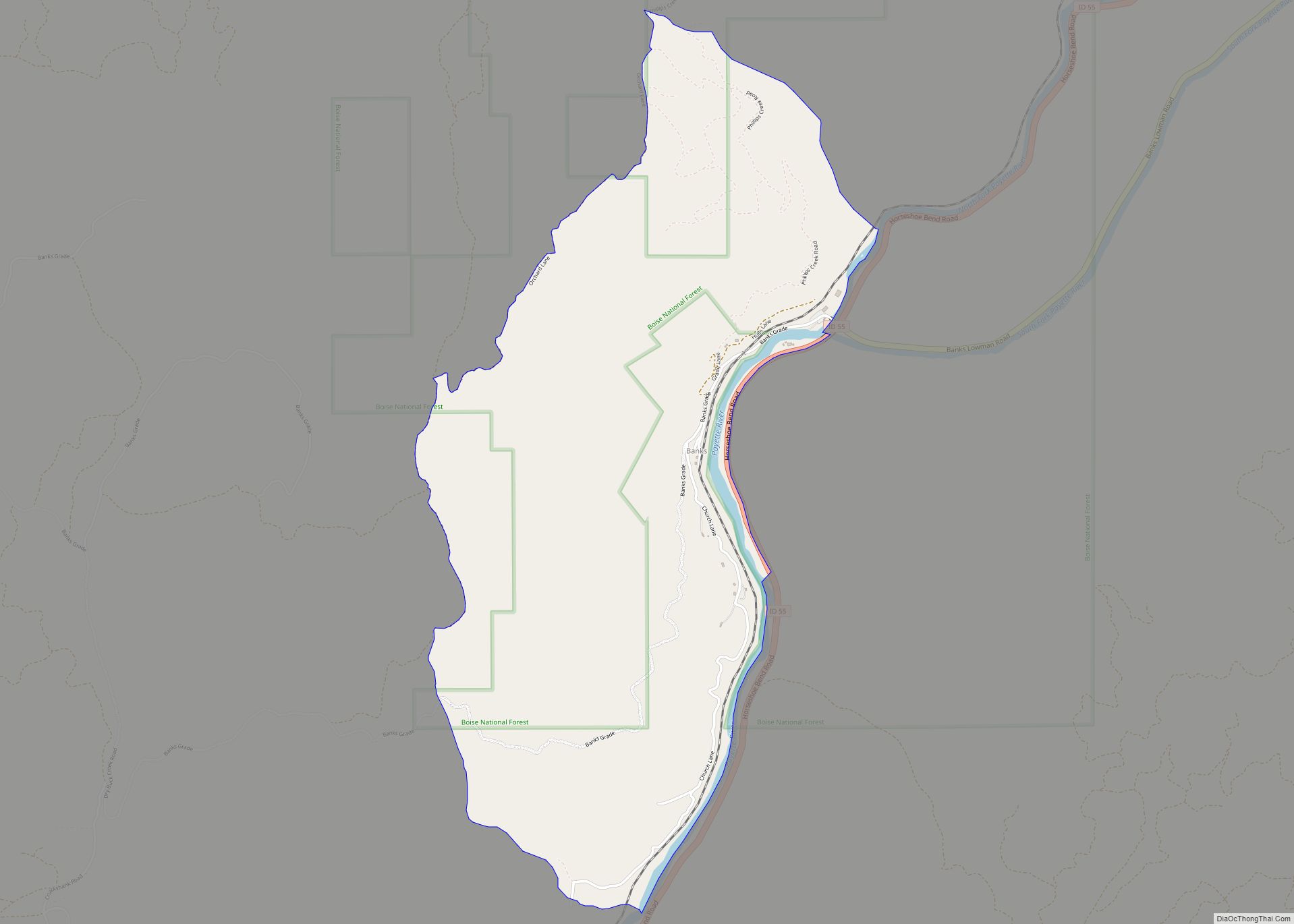
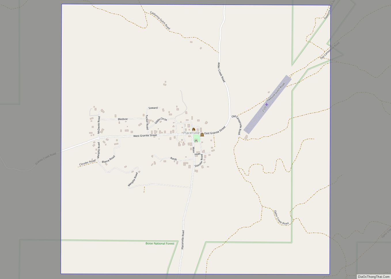
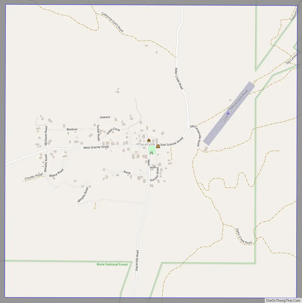
Placerville Road Map
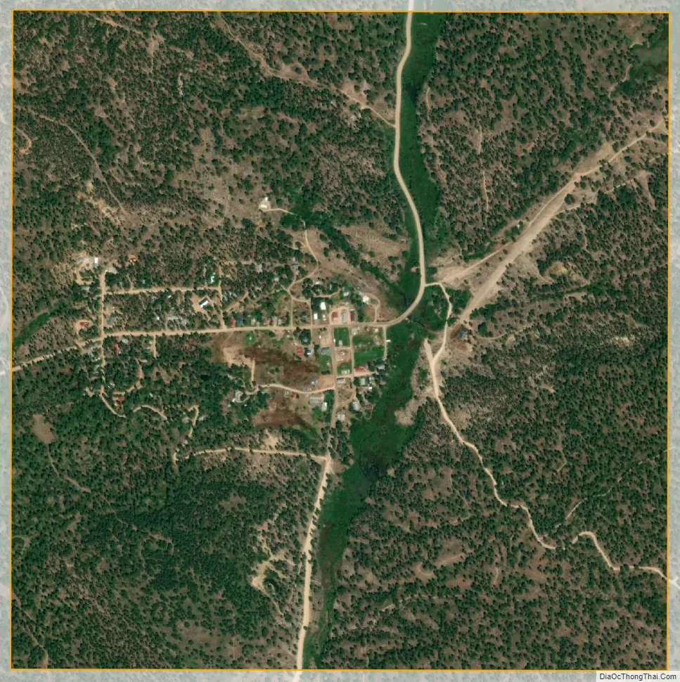
Placerville city Satellite Map
Geography
Placerville is located at 43°56′36″N 115°56′47″W / 43.94333°N 115.94639°W / 43.94333; -115.94639 (43.943287, -115.946444).
According to the United States Census Bureau, the city has a total area of 1.01 square miles (2.62 km), all of it land.
See also
Map of Idaho State and its subdivision:- Ada
- Adams
- Bannock
- Bear Lake
- Benewah
- Bingham
- Blaine
- Boise
- Bonner
- Bonneville
- Boundary
- Butte
- Camas
- Canyon
- Caribou
- Cassia
- Clark
- Clearwater
- Custer
- Elmore
- Franklin
- Fremont
- Gem
- Gooding
- Idaho
- Jefferson
- Jerome
- Kootenai
- Latah
- Lemhi
- Lewis
- Lincoln
- Madison
- Minidoka
- Nez Perce
- Oneida
- Owyhee
- Payette
- Power
- Shoshone
- Teton
- Twin Falls
- Valley
- Washington
- Alabama
- Alaska
- Arizona
- Arkansas
- California
- Colorado
- Connecticut
- Delaware
- District of Columbia
- Florida
- Georgia
- Hawaii
- Idaho
- Illinois
- Indiana
- Iowa
- Kansas
- Kentucky
- Louisiana
- Maine
- Maryland
- Massachusetts
- Michigan
- Minnesota
- Mississippi
- Missouri
- Montana
- Nebraska
- Nevada
- New Hampshire
- New Jersey
- New Mexico
- New York
- North Carolina
- North Dakota
- Ohio
- Oklahoma
- Oregon
- Pennsylvania
- Rhode Island
- South Carolina
- South Dakota
- Tennessee
- Texas
- Utah
- Vermont
- Virginia
- Washington
- West Virginia
- Wisconsin
- Wyoming