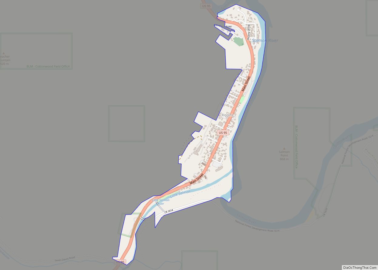
Riggins is a city in the western United States in Idaho County, Idaho. Nestled deep in a canyon at the confluence of the Salmon and Little Salmon rivers in west central Idaho, it is approximately 150 highway miles (240 km) north of Boise, and 120 highway miles (190 km) south-southeast of Lewiston. The elevation is 1,821 feet (555 m) above sea level, and its population was 419 at the 2010 census.
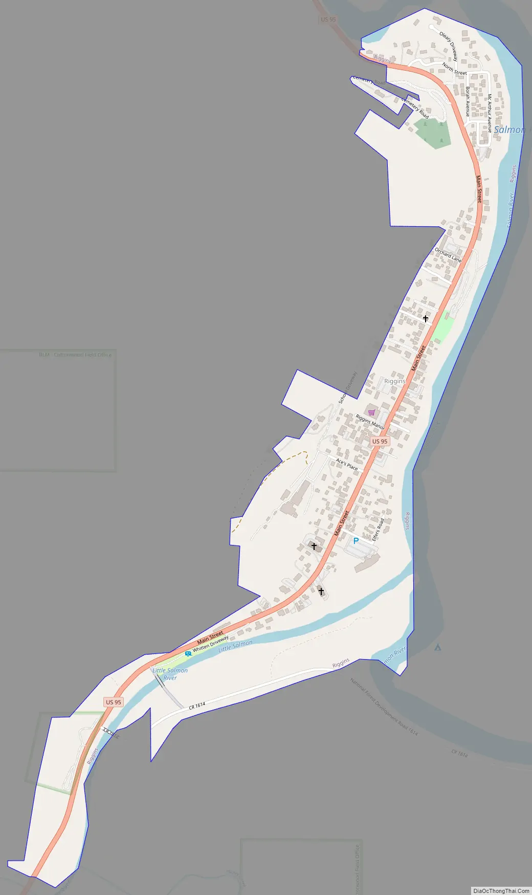
U.S. Route 95, the only highway for the state connecting the Panhandle to the south, runs through Riggins as Main Street. Along this route, Riggins is the most northwestern town in the Mountain time zone; Pacific time begins just north of the city, across the Salmon River.
| Name: | Riggins city |
|---|---|
| LSAD Code: | 25 |
| LSAD Description: | city (suffix) |
| State: | Idaho |
| County: | Idaho County |
| Elevation: | 1,821 ft (555 m) |
| Total Area: | 0.45 sq mi (1.15 km²) |
| Land Area: | 0.40 sq mi (1.03 km²) |
| Water Area: | 0.05 sq mi (0.12 km²) |
| Total Population: | 419 |
| Population Density: | 1,045.23/sq mi (403.92/km²) |
| ZIP code: | 83549 |
| Area code: | 208 |
| FIPS code: | 1667870 |
| GNISfeature ID: | 0389360 |
| Website: | www.rigginsidaho.com |
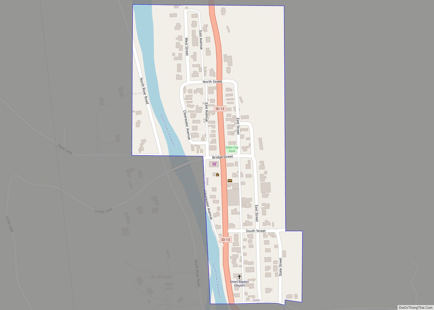
Online Interactive Map
Click on ![]() to view map in "full screen" mode.
to view map in "full screen" mode.
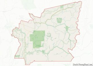
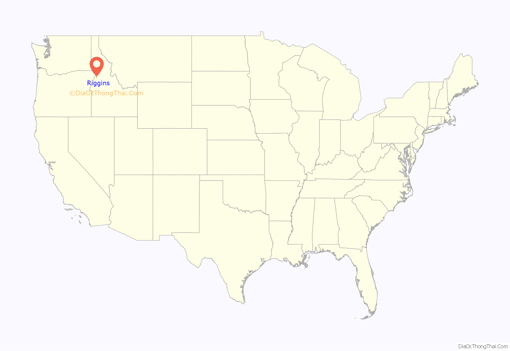
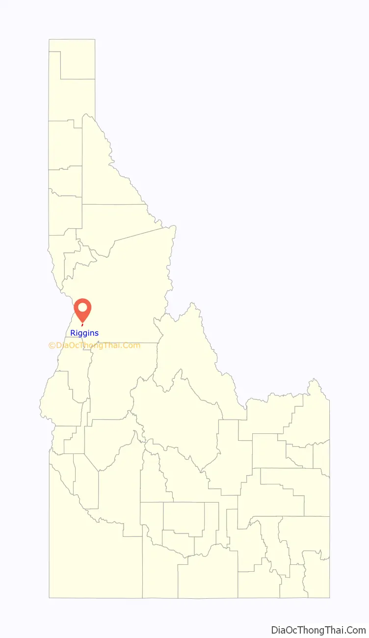
Riggins location map. Where is Riggins city?
History
Riggins was named for Richard L. Riggins, local businessman and postmaster, and for his father, Fred Riggins, who carried the mail to the area for years.
A sawmill was formerly operated in Riggins, until an explosion and fire in 1982.
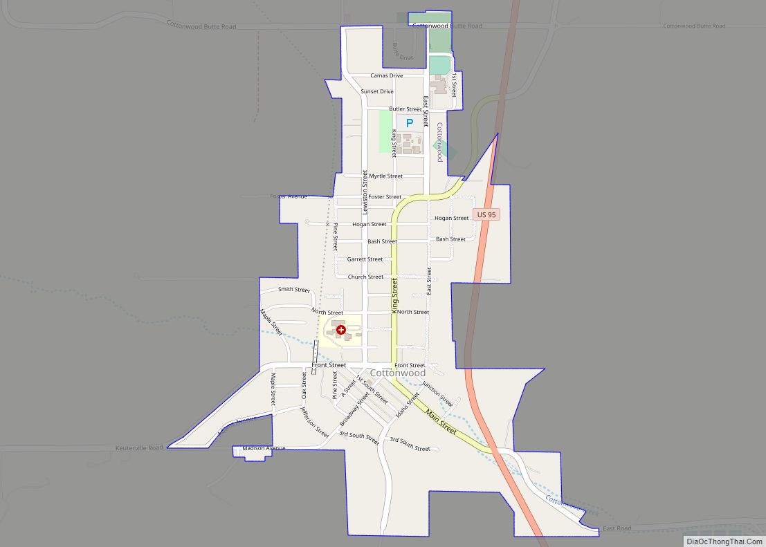
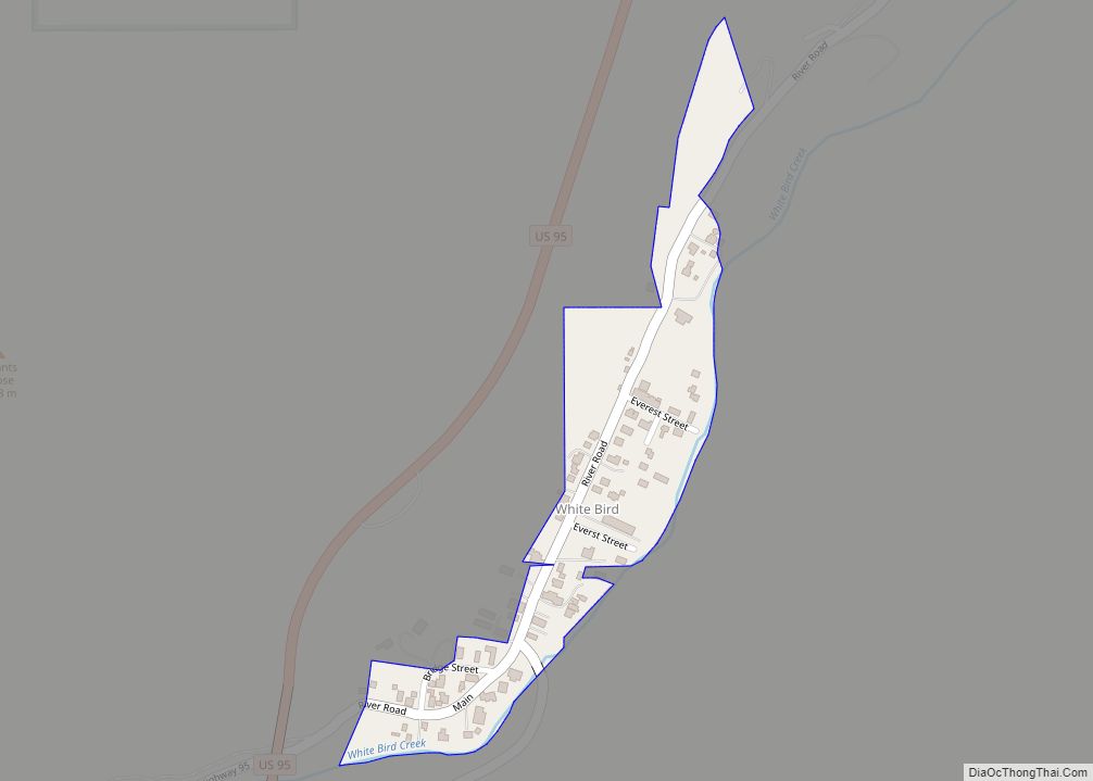
Riggins Road Map
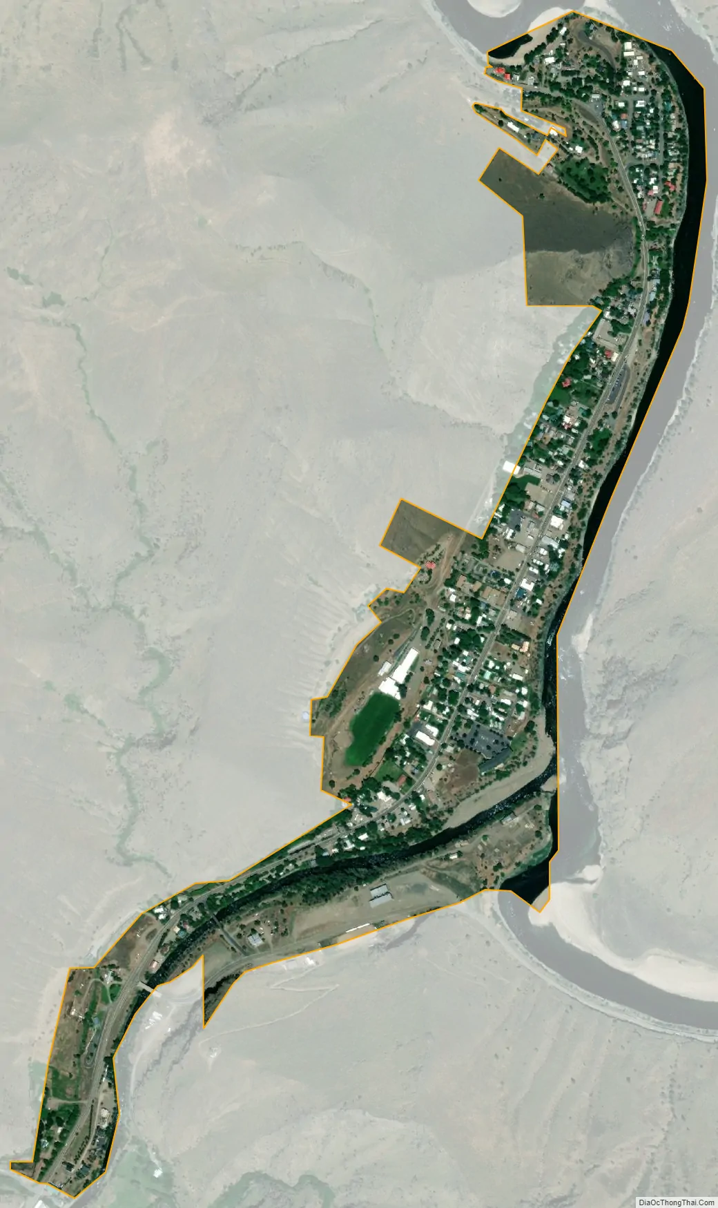
Riggins city Satellite Map
Geography
Riggins is located at 45°25′20″N 116°18′57″W / 45.42222°N 116.31583°W / 45.42222; -116.31583 (45.422125, -116.315848).
According to the United States Census Bureau, the city has a total area of 0.45 square miles (1.17 km), of which, 0.43 square miles (1.11 km) is land and 0.02 square miles (0.05 km) is water.
See also
Map of Idaho State and its subdivision:- Ada
- Adams
- Bannock
- Bear Lake
- Benewah
- Bingham
- Blaine
- Boise
- Bonner
- Bonneville
- Boundary
- Butte
- Camas
- Canyon
- Caribou
- Cassia
- Clark
- Clearwater
- Custer
- Elmore
- Franklin
- Fremont
- Gem
- Gooding
- Idaho
- Jefferson
- Jerome
- Kootenai
- Latah
- Lemhi
- Lewis
- Lincoln
- Madison
- Minidoka
- Nez Perce
- Oneida
- Owyhee
- Payette
- Power
- Shoshone
- Teton
- Twin Falls
- Valley
- Washington
- Alabama
- Alaska
- Arizona
- Arkansas
- California
- Colorado
- Connecticut
- Delaware
- District of Columbia
- Florida
- Georgia
- Hawaii
- Idaho
- Illinois
- Indiana
- Iowa
- Kansas
- Kentucky
- Louisiana
- Maine
- Maryland
- Massachusetts
- Michigan
- Minnesota
- Mississippi
- Missouri
- Montana
- Nebraska
- Nevada
- New Hampshire
- New Jersey
- New Mexico
- New York
- North Carolina
- North Dakota
- Ohio
- Oklahoma
- Oregon
- Pennsylvania
- Rhode Island
- South Carolina
- South Dakota
- Tennessee
- Texas
- Utah
- Vermont
- Virginia
- Washington
- West Virginia
- Wisconsin
- Wyoming