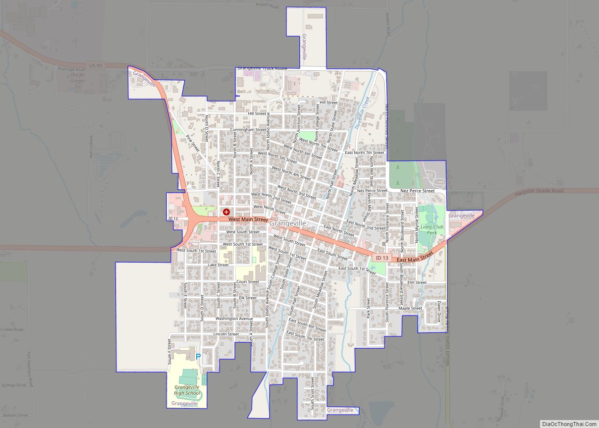
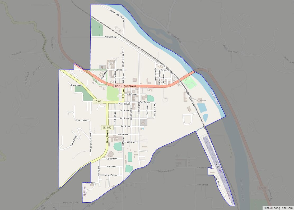
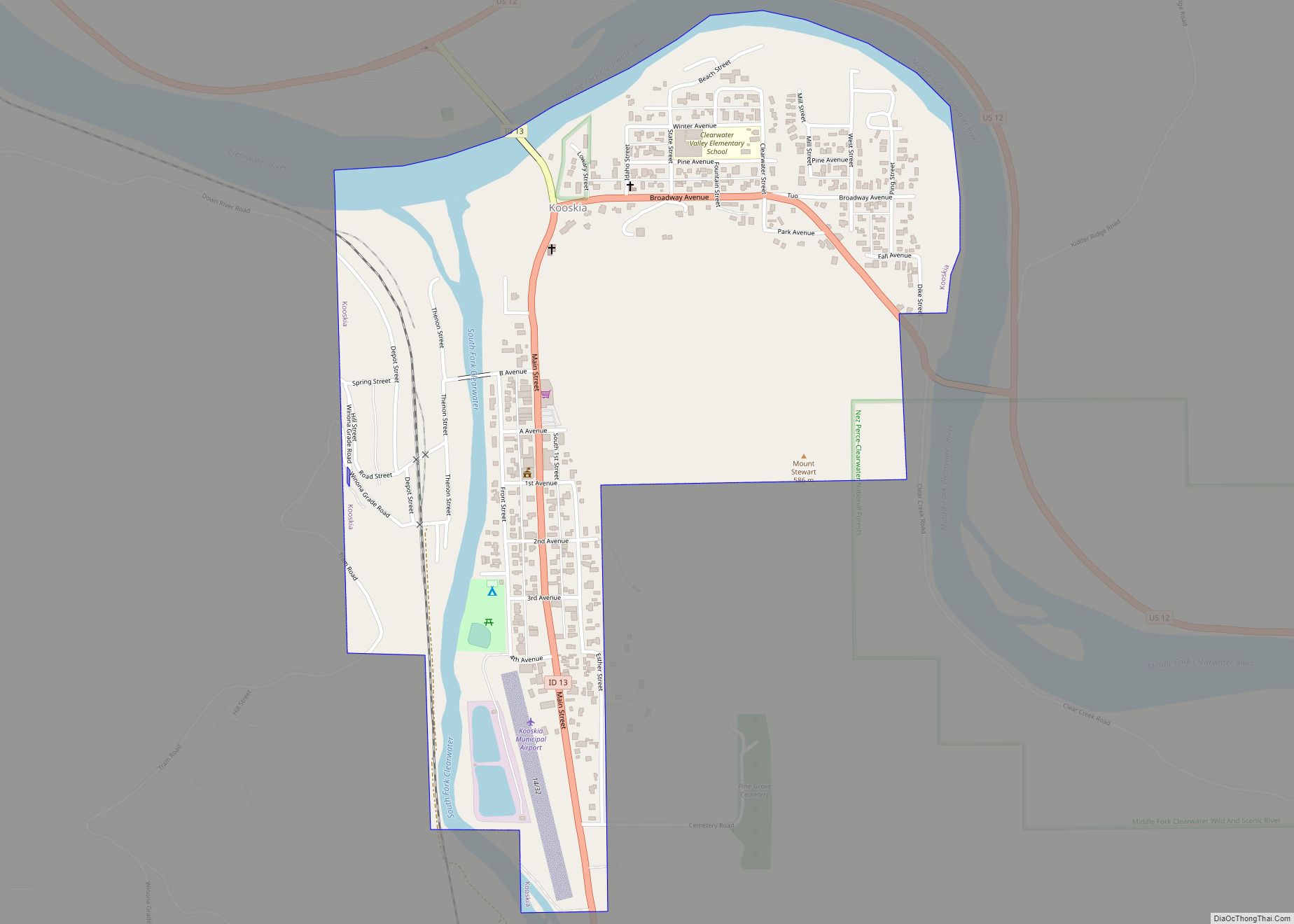
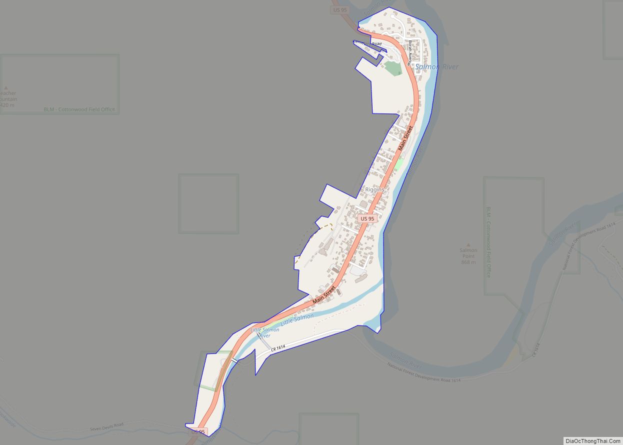
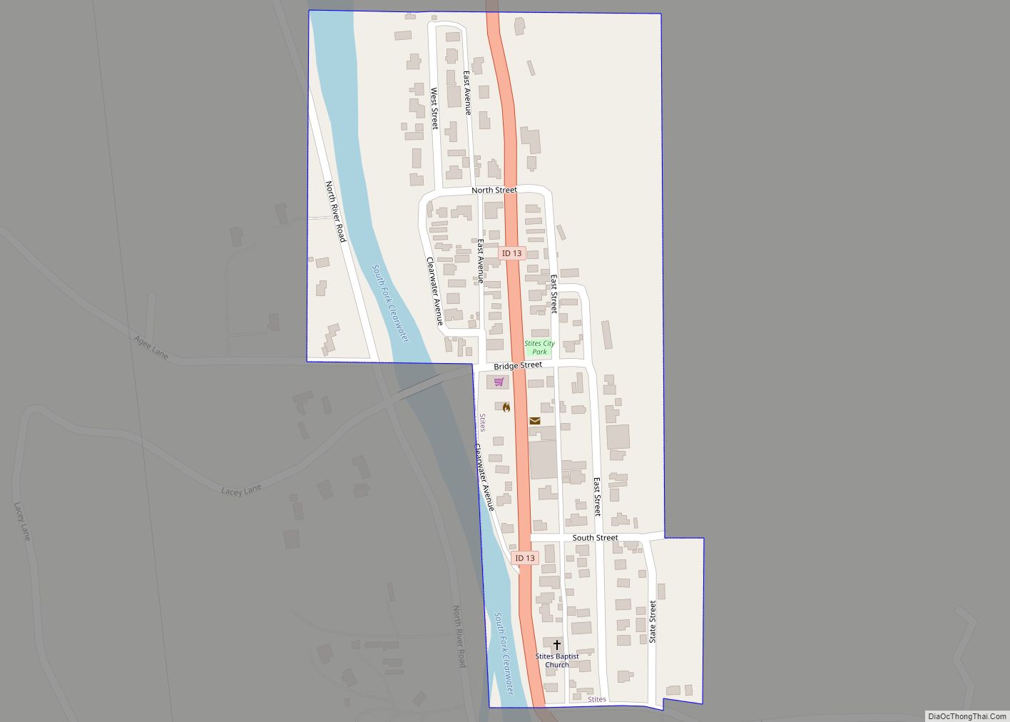
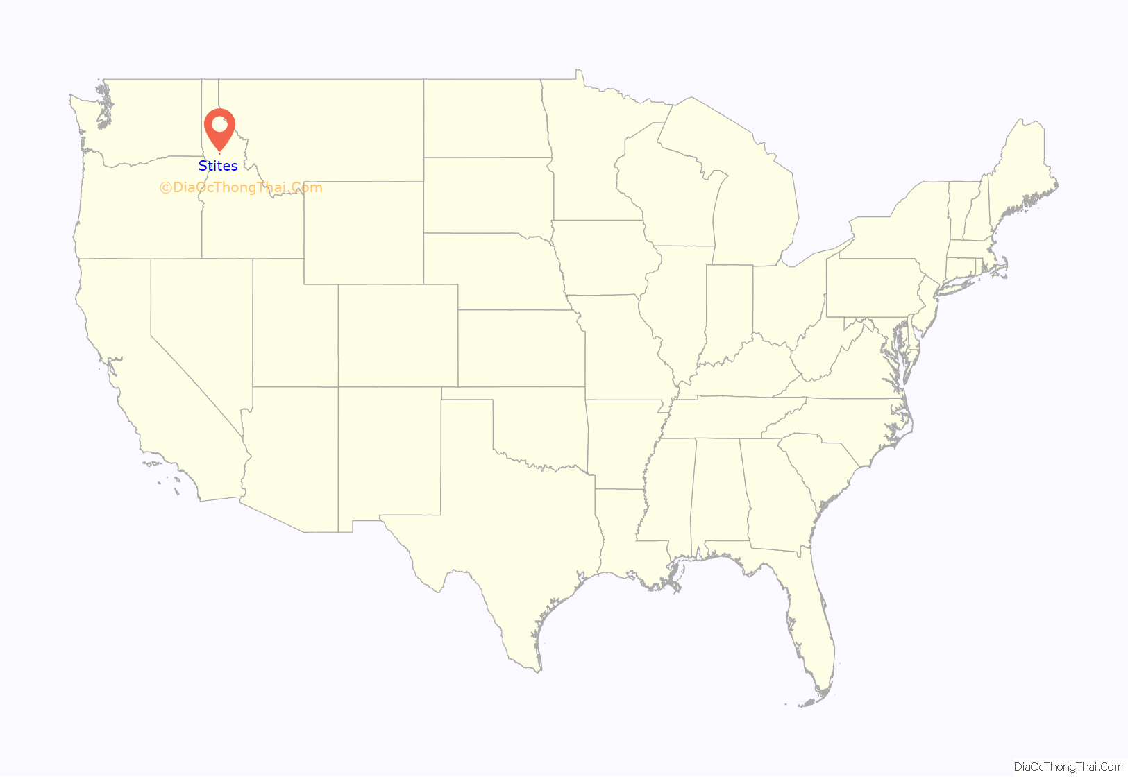
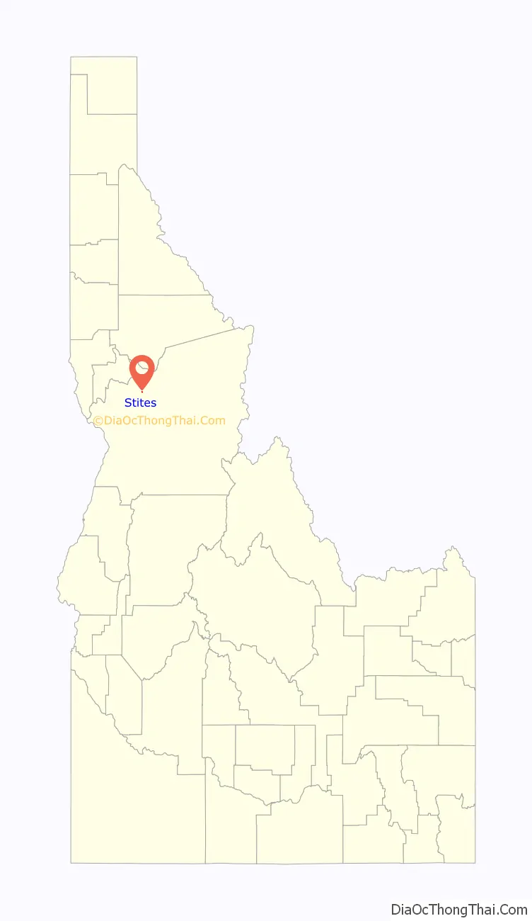
Stites is a city in Idaho County, Idaho, United States. In the lower canyon of the South Fork of the Clearwater River, it is about four miles (6 km) upstream and south of Kooskia on State Highway 13. The population was 221 at the 2010 census, down from 226 in 2000.
| Name: | Stites city |
|---|---|
| LSAD Code: | 25 |
| LSAD Description: | city (suffix) |
| State: | Idaho |
| County: | Idaho County |
| Elevation: | 1,306 ft (398 m) |
| Total Area: | 0.10 sq mi (0.26 km²) |
| Land Area: | 0.09 sq mi (0.24 km²) |
| Water Area: | 0.01 sq mi (0.02 km²) |
| Total Population: | 221 |
| Population Density: | 2,494.62/sq mi (959.98/km²) |
| ZIP code: | 83552 |
| Area code: | 208 |
| FIPS code: | 1677500 |
| GNISfeature ID: | 0398187 |
Online Interactive Map
Click on ![]() to view map in "full screen" mode.
to view map in "full screen" mode.
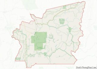
Stites location map. Where is Stites city?
History
Stites was named for Jacob Stites of New Jersey, who homesteaded the land in 1897 which became the city. He sold two years later and exercised his option to name it. Stites became the eastern terminus Northern Pacific branch line up the Clearwater in 1900, later the Camas Prairie Railroad’s first subdivision line. It climbed the main river eastward from Lewiston to Kooskia and then turned south to ascend the lower South Fork. The abandoned spur was removed in the 1980s, and the city incorporated in early 1905.
The original highway bridge (1911) that crossed the Salmon River just north of Riggins was replaced in 1936 and moved fifty miles (80 km) north to Stites.
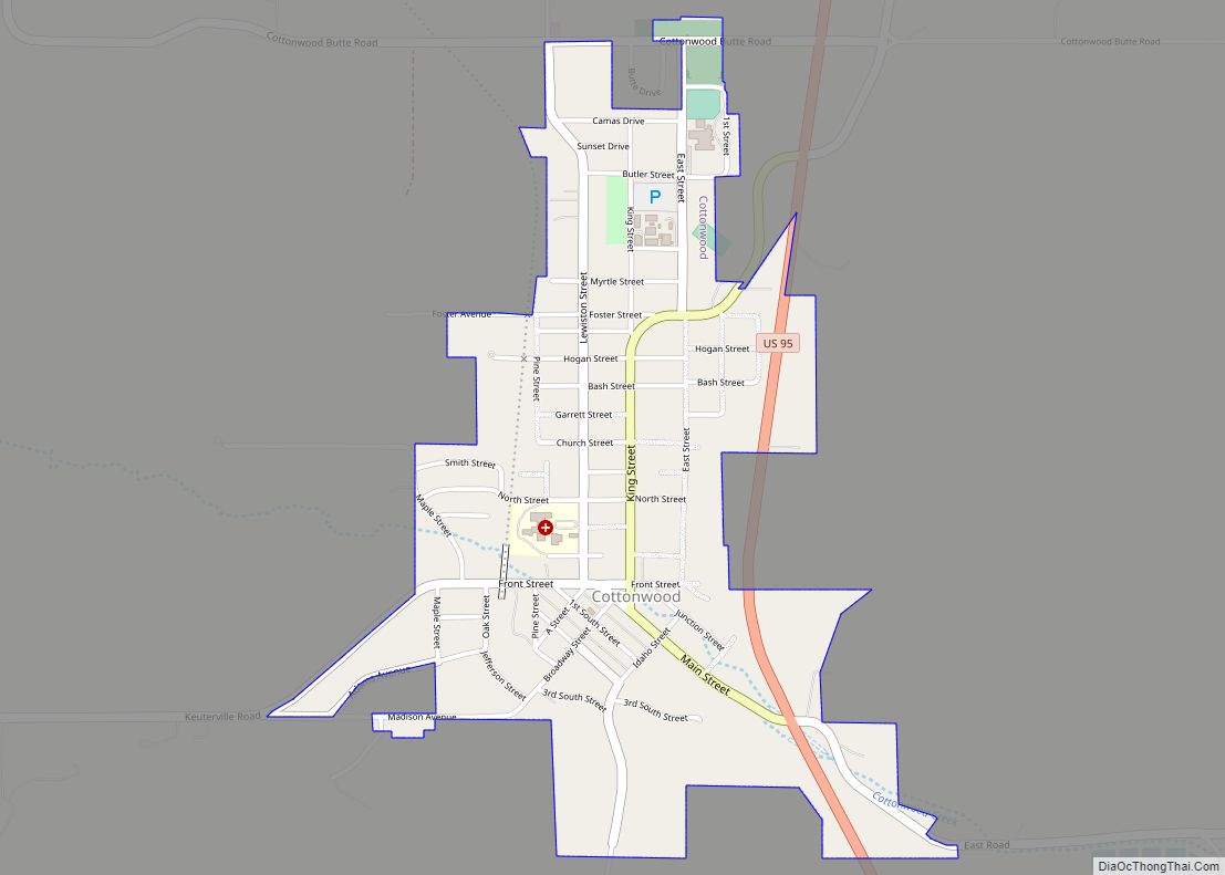
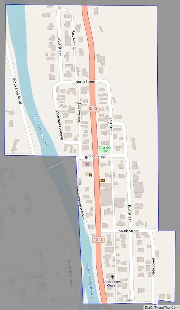
Stites Road Map
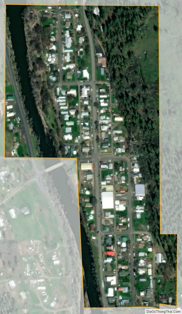
Stites city Satellite Map
Geography
Stites is located at 46°5′27″N 115°58′35″W / 46.09083°N 115.97639°W / 46.09083; -115.97639 (46.090, -115.976).
According to the United States Census Bureau, the city has a total area of 0.10 square miles (0.26 km), of which, 0.09 square miles (0.23 km) is land and 0.01 square miles (0.03 km) is water.
See also
Map of Idaho State and its subdivision:- Ada
- Adams
- Bannock
- Bear Lake
- Benewah
- Bingham
- Blaine
- Boise
- Bonner
- Bonneville
- Boundary
- Butte
- Camas
- Canyon
- Caribou
- Cassia
- Clark
- Clearwater
- Custer
- Elmore
- Franklin
- Fremont
- Gem
- Gooding
- Idaho
- Jefferson
- Jerome
- Kootenai
- Latah
- Lemhi
- Lewis
- Lincoln
- Madison
- Minidoka
- Nez Perce
- Oneida
- Owyhee
- Payette
- Power
- Shoshone
- Teton
- Twin Falls
- Valley
- Washington
- Alabama
- Alaska
- Arizona
- Arkansas
- California
- Colorado
- Connecticut
- Delaware
- District of Columbia
- Florida
- Georgia
- Hawaii
- Idaho
- Illinois
- Indiana
- Iowa
- Kansas
- Kentucky
- Louisiana
- Maine
- Maryland
- Massachusetts
- Michigan
- Minnesota
- Mississippi
- Missouri
- Montana
- Nebraska
- Nevada
- New Hampshire
- New Jersey
- New Mexico
- New York
- North Carolina
- North Dakota
- Ohio
- Oklahoma
- Oregon
- Pennsylvania
- Rhode Island
- South Carolina
- South Dakota
- Tennessee
- Texas
- Utah
- Vermont
- Virginia
- Washington
- West Virginia
- Wisconsin
- Wyoming