Largo, located within greater Upper Marlboro, Maryland, is an unincorporated area and census-designated place in Prince George’s County, Maryland, United States. The population was 11,605 at the 2020 census.
Largo is located just east of the Capital Beltway (I-95/495) and is home to Prince George’s Community College and Largo High School. Six Flags America amusement park (formerly known as Wild World and Adventure World) is to the east in Woodmore, and FedExField, the Washington Commanders’s stadium, is across the Capital Beltway in Summerfield. Watkins Regional Park in Kettering just to the east of Largo (operated by the Maryland-National Capital Park and Planning Commission) has an old-fashioned carousel, miniature train ride, miniature golf, the Old Maryland Farm, a playground, and animals on display. Largo is not a post office designation, but is at the northern end of the Greater Upper Marlboro ZIP code area.
Since the transit system’s expansion in late 2004, Largo Town Center has served as the eastern end of the Blue and Silver Lines of the Washington Metro.
| Name: | Largo CDP |
|---|---|
| LSAD Code: | 57 |
| LSAD Description: | CDP (suffix) |
| State: | Maryland |
| County: | Prince George’s County |
| Elevation: | 174 ft (53 m) |
| Total Area: | 3.06 sq mi (7.93 km²) |
| Land Area: | 3.06 sq mi (7.93 km²) |
| Water Area: | 0.00 sq mi (0.00 km²) |
| Total Population: | 11,605 |
| Population Density: | 3,790.01/sq mi (1,463.43/km²) |
| ZIP code: | 20774 |
| Area code: | 301, 240 |
| FIPS code: | 2445825 |
| GNISfeature ID: | 0597664 |
Online Interactive Map
Click on ![]() to view map in "full screen" mode.
to view map in "full screen" mode.
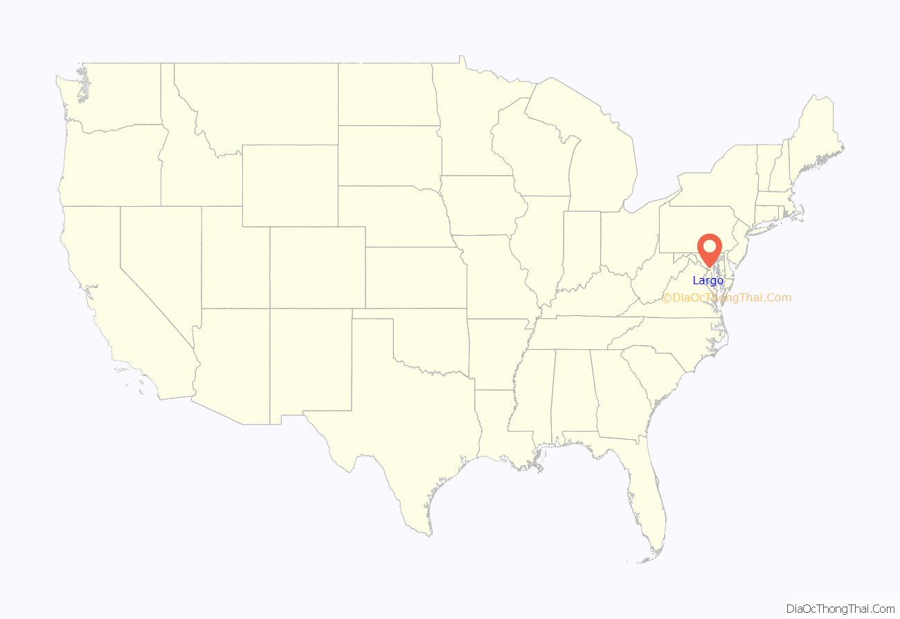
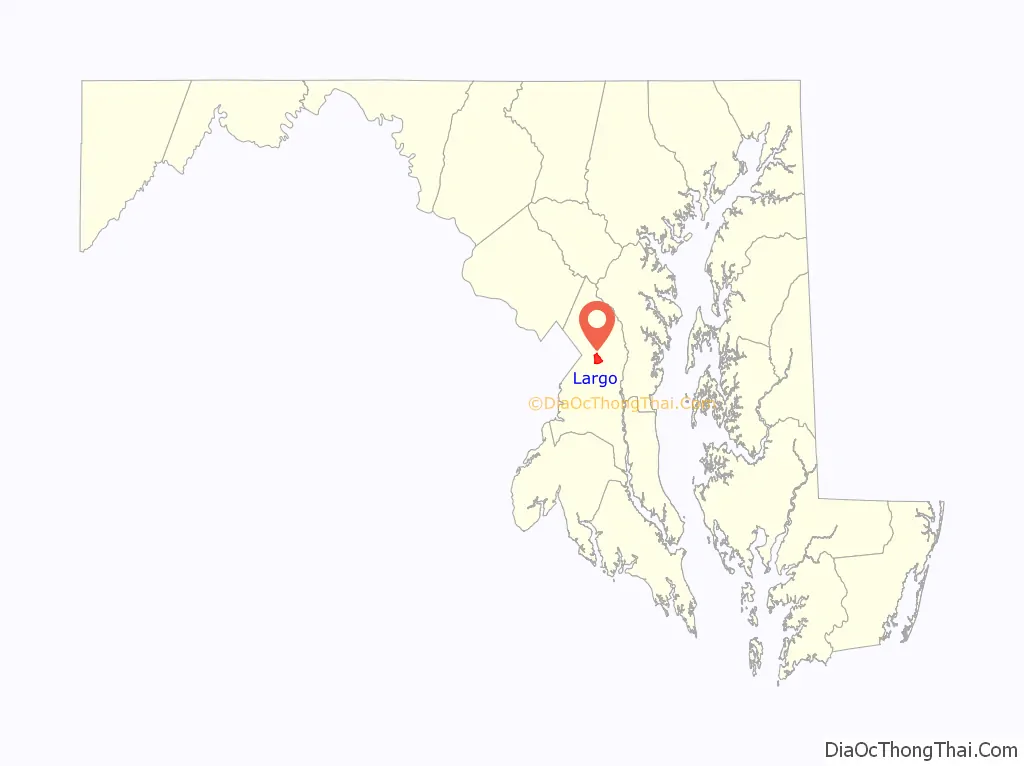
Largo location map. Where is Largo CDP?
History
Largo was named after the Largo Plantation that was owned by the Beall family. The plantation is believed to be named after Largo Bay in Scotland. It was sold to John Contee in 1745.
Arelis R. Hernández of The Washington Post stated in 2015 that “There has been talk for decades of relocating the [Prince George’s County] government to Largo”. In 2015 Rushern Baker, the county executive, expressed a desire to move the county seat from Upper Marlboro to Largo since the latter has a more central location and access to the Washington Metro network. A spokesperson for Thomas V. Mike Miller Jr., the President of the Maryland Senate, expressed opposition to this idea.
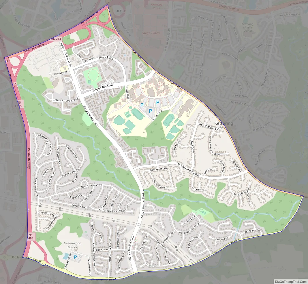
Largo Road Map
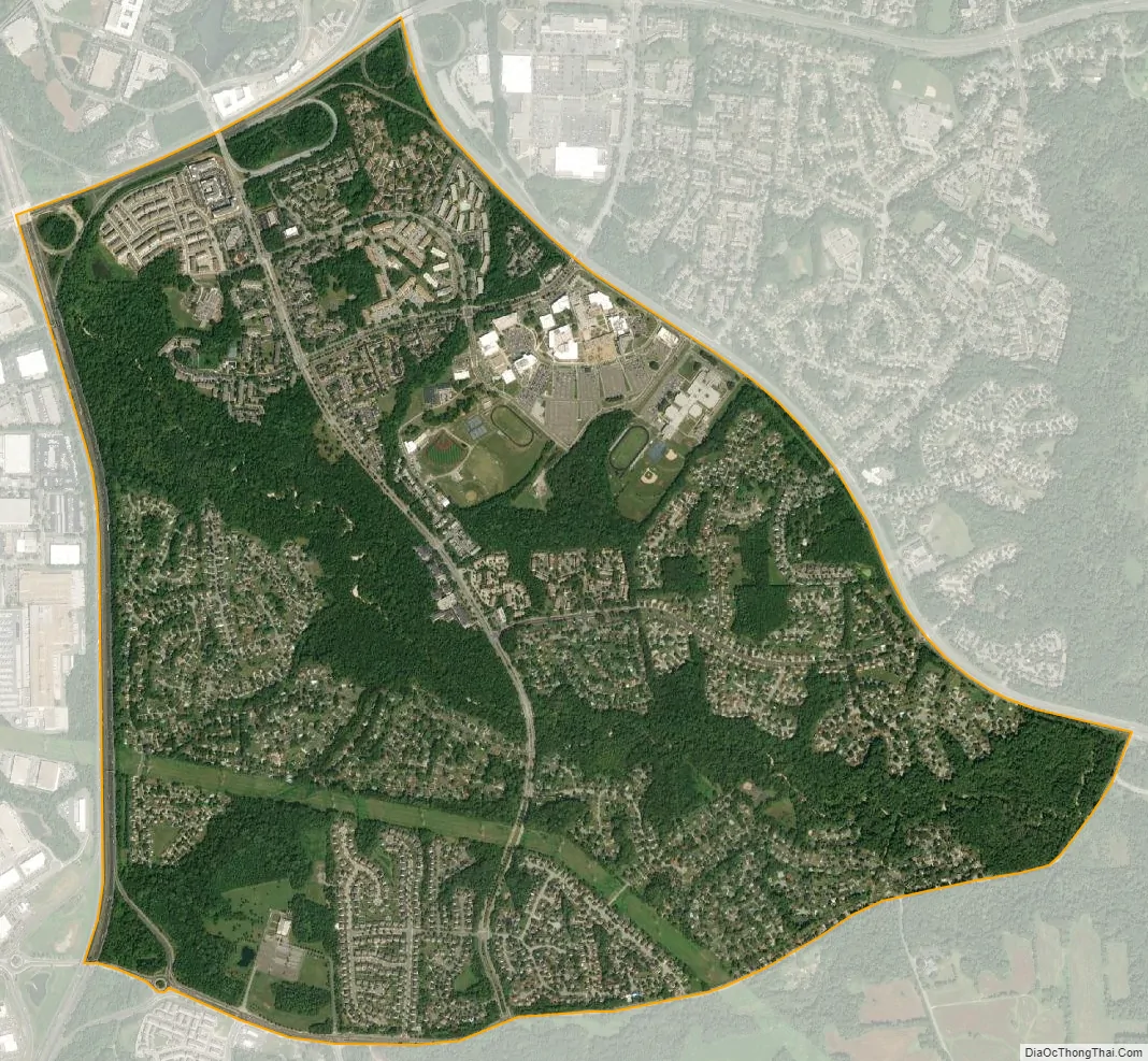
Largo city Satellite Map
Geography
Largo is located at 38°52′37″N 76°49′50″W / 38.87694°N 76.83056°W / 38.87694; -76.83056 (38.876850, −76.830651).
According to the United States Census Bureau, the CDP has a total area of 3.0 square miles (7.8 km), all land.
See also
Map of Maryland State and its subdivision: Map of other states:- Alabama
- Alaska
- Arizona
- Arkansas
- California
- Colorado
- Connecticut
- Delaware
- District of Columbia
- Florida
- Georgia
- Hawaii
- Idaho
- Illinois
- Indiana
- Iowa
- Kansas
- Kentucky
- Louisiana
- Maine
- Maryland
- Massachusetts
- Michigan
- Minnesota
- Mississippi
- Missouri
- Montana
- Nebraska
- Nevada
- New Hampshire
- New Jersey
- New Mexico
- New York
- North Carolina
- North Dakota
- Ohio
- Oklahoma
- Oregon
- Pennsylvania
- Rhode Island
- South Carolina
- South Dakota
- Tennessee
- Texas
- Utah
- Vermont
- Virginia
- Washington
- West Virginia
- Wisconsin
- Wyoming


