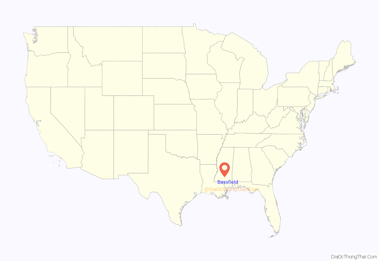
Bassfield is a town in Jefferson Davis County, Mississippi, United States. The population was 192 at the 2020 census, down from 254 at the 2010 census.
| Name: | Bassfield town |
|---|---|
| LSAD Code: | 43 |
| LSAD Description: | town (suffix) |
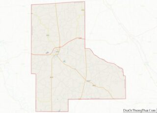
| State: | Mississippi |
| County: | Jefferson Davis County |
| Elevation: | 456 ft (139 m) |
| Total Area: | 1.00 sq mi (2.59 km²) |
| Land Area: | 1.00 sq mi (2.59 km²) |
| Water Area: | 0.00 sq mi (0.00 km²) |
| Total Population: | 192 |
| Population Density: | 192.00/sq mi (74.13/km²) |
| ZIP code: | 39421 |
| Area code: | 601 |
| FIPS code: | 2803580 |
| GNISfeature ID: | 0666563 |
Online Interactive Map
Click on ![]() to view map in "full screen" mode.
to view map in "full screen" mode.
Bassfield location map. Where is Bassfield town?

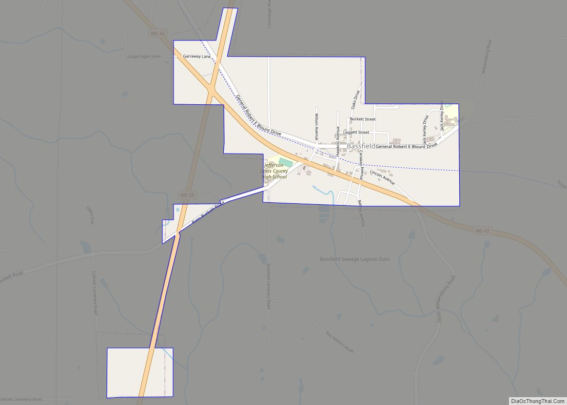
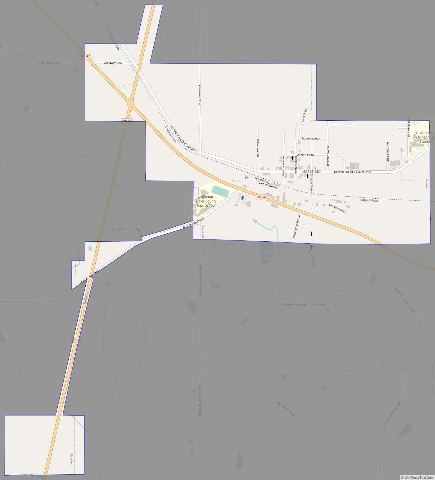
Bassfield Road Map
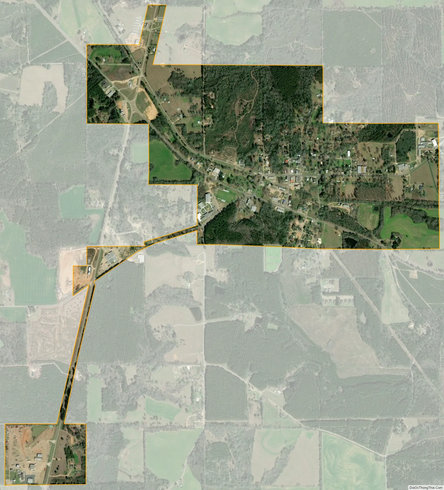
Bassfield city Satellite Map
Geography
Bassfield is located in southeastern Jefferson Davis County at 31°29′50″N 89°44′46″W / 31.49722°N 89.74611°W / 31.49722; -89.74611 (31.497090, -89.746008). Mississippi Highway 42 passes through the town, leading northwest 11 miles (18 km) to Prentiss, the county seat, and southeast 14 miles (23 km) to Sumrall. Mississippi Highway 35 passes through the west side of Bassfield, leading north 21 miles (34 km) to Mount Olive and south 19 miles (31 km) to Columbia.
According to the United States Census Bureau, Bassfield has a total area of 1.1 square miles (2.8 km), all land.
See also
Map of Mississippi State and its subdivision:- Adams
- Alcorn
- Amite
- Attala
- Benton
- Bolivar
- Calhoun
- Carroll
- Chickasaw
- Choctaw
- Claiborne
- Clarke
- Clay
- Coahoma
- Copiah
- Covington
- Desoto
- Forrest
- Franklin
- George
- Greene
- Grenada
- Hancock
- Harrison
- Hinds
- Holmes
- Humphreys
- Issaquena
- Itawamba
- Jackson
- Jasper
- Jefferson
- Jefferson Davis
- Jones
- Kemper
- Lafayette
- Lamar
- Lauderdale
- Lawrence
- Leake
- Lee
- Leflore
- Lincoln
- Lowndes
- Madison
- Marion
- Marshall
- Monroe
- Montgomery
- Neshoba
- Newton
- Noxubee
- Oktibbeha
- Panola
- Pearl River
- Perry
- Pike
- Pontotoc
- Prentiss
- Quitman
- Rankin
- Scott
- Sharkey
- Simpson
- Smith
- Stone
- Sunflower
- Tallahatchie
- Tate
- Tippah
- Tishomingo
- Tunica
- Union
- Walthall
- Warren
- Washington
- Wayne
- Webster
- Wilkinson
- Winston
- Yalobusha
- Yazoo
- Alabama
- Alaska
- Arizona
- Arkansas
- California
- Colorado
- Connecticut
- Delaware
- District of Columbia
- Florida
- Georgia
- Hawaii
- Idaho
- Illinois
- Indiana
- Iowa
- Kansas
- Kentucky
- Louisiana
- Maine
- Maryland
- Massachusetts
- Michigan
- Minnesota
- Mississippi
- Missouri
- Montana
- Nebraska
- Nevada
- New Hampshire
- New Jersey
- New Mexico
- New York
- North Carolina
- North Dakota
- Ohio
- Oklahoma
- Oregon
- Pennsylvania
- Rhode Island
- South Carolina
- South Dakota
- Tennessee
- Texas
- Utah
- Vermont
- Virginia
- Washington
- West Virginia
- Wisconsin
- Wyoming