Belmont is a town in Tishomingo County, Mississippi, United States. The population was 2,021 at the 2010 census.
| Name: | Belmont town |
|---|---|
| LSAD Code: | 43 |
| LSAD Description: | town (suffix) |
| State: | Mississippi |
| County: | Tishomingo County |
| Elevation: | 581 ft (177 m) |
| Total Area: | 4.74 sq mi (12.28 km²) |
| Land Area: | 4.73 sq mi (12.25 km²) |
| Water Area: | 0.01 sq mi (0.03 km²) |
| Total Population: | 1,859 |
| Population Density: | 393.11/sq mi (151.78/km²) |
| ZIP code: | 38827 |
| Area code: | 662 |
| FIPS code: | 2805100 |
| GNISfeature ID: | 0666799 |
Online Interactive Map
Click on ![]() to view map in "full screen" mode.
to view map in "full screen" mode.
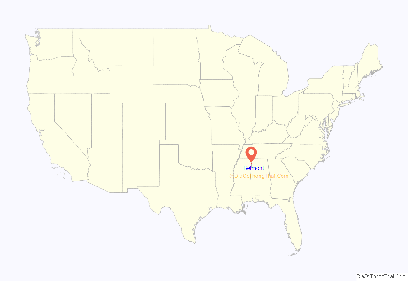
Belmont location map. Where is Belmont town?
History
The settlement of Belmont was originally called Gum Springs with a post office built in 1884. After completion of the Birmingham Division of the Illinois Central Railroad in 1907 the town grew considerably. It was incorporated as Belmont (meaning “beautiful mountain”) on January 22, 1908.
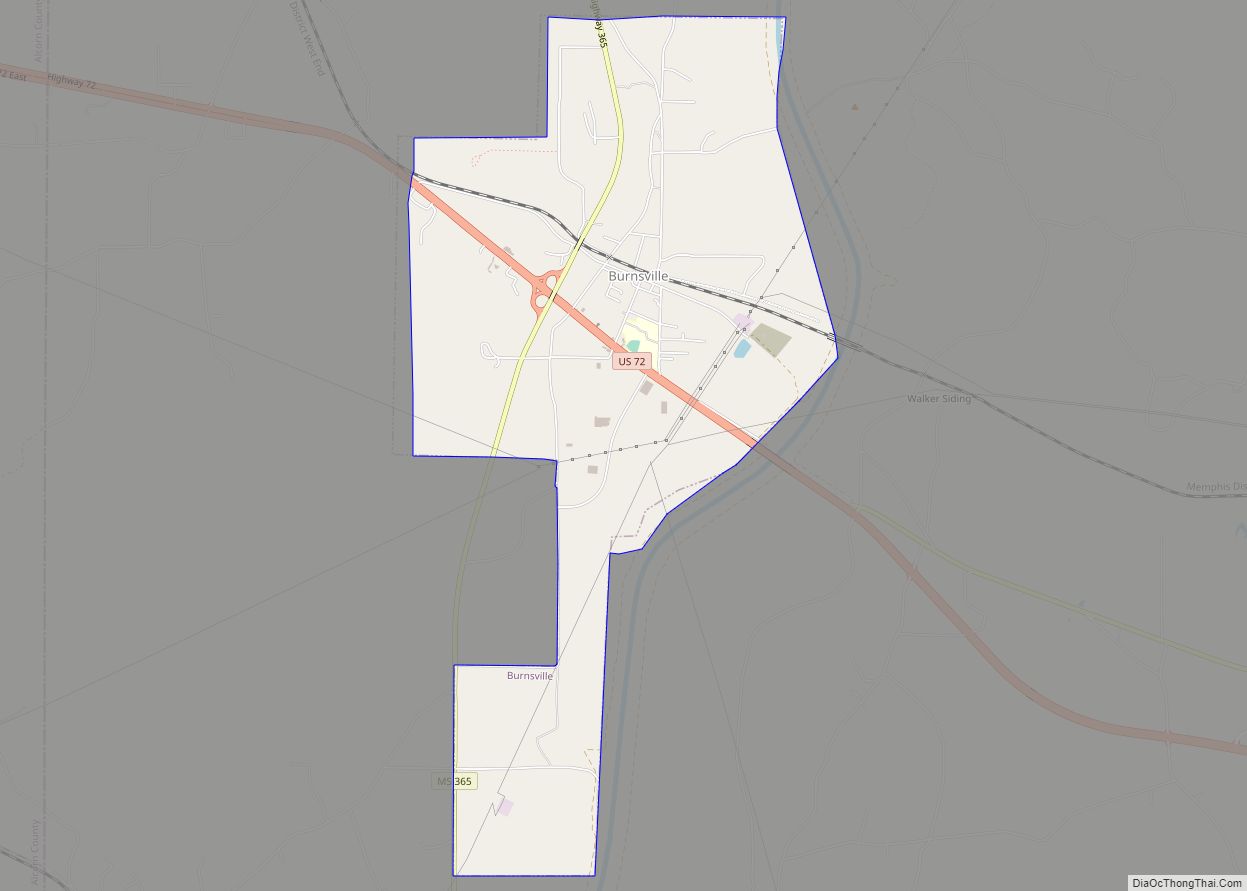
Belmont Road Map
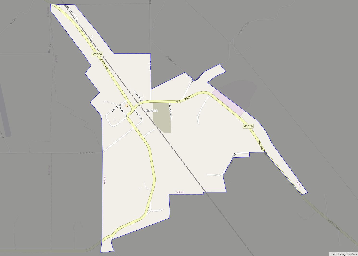
Belmont city Satellite Map
Geography
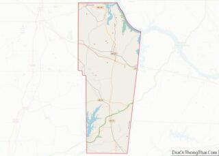
According to the United States Census Bureau, the town has a total area of 4.7 square miles (12 km), of which 4.7 square miles (12 km) is land and 0.21% is water. The town is concentrated along Mississippi Highway 25 in southern Tishomingo County, a few miles west of the Mississippi-Alabama state line. Golden borders Belmont to the southeast, and Tishomingo lies a few miles to the north. Mississippi Highway 366 intersects MS 25 in Belmont, and continues southeastward through Golden to the state line, eventually becoming 4th Street in Red Bay, Alabama.
Communities near Belmont
- Golden – 1.88 miles (3.03 km)
- Red Bay, Alabama – 6.20 miles (9.98 km)
- Tishomingo – 8.86 miles (14.26 km)
- Vina, Alabama – 12.58 miles (20.25 km)
- Dennis – about 3 miles (4.8 km)
See also
Map of Mississippi State and its subdivision:- Adams
- Alcorn
- Amite
- Attala
- Benton
- Bolivar
- Calhoun
- Carroll
- Chickasaw
- Choctaw
- Claiborne
- Clarke
- Clay
- Coahoma
- Copiah
- Covington
- Desoto
- Forrest
- Franklin
- George
- Greene
- Grenada
- Hancock
- Harrison
- Hinds
- Holmes
- Humphreys
- Issaquena
- Itawamba
- Jackson
- Jasper
- Jefferson
- Jefferson Davis
- Jones
- Kemper
- Lafayette
- Lamar
- Lauderdale
- Lawrence
- Leake
- Lee
- Leflore
- Lincoln
- Lowndes
- Madison
- Marion
- Marshall
- Monroe
- Montgomery
- Neshoba
- Newton
- Noxubee
- Oktibbeha
- Panola
- Pearl River
- Perry
- Pike
- Pontotoc
- Prentiss
- Quitman
- Rankin
- Scott
- Sharkey
- Simpson
- Smith
- Stone
- Sunflower
- Tallahatchie
- Tate
- Tippah
- Tishomingo
- Tunica
- Union
- Walthall
- Warren
- Washington
- Wayne
- Webster
- Wilkinson
- Winston
- Yalobusha
- Yazoo
- Alabama
- Alaska
- Arizona
- Arkansas
- California
- Colorado
- Connecticut
- Delaware
- District of Columbia
- Florida
- Georgia
- Hawaii
- Idaho
- Illinois
- Indiana
- Iowa
- Kansas
- Kentucky
- Louisiana
- Maine
- Maryland
- Massachusetts
- Michigan
- Minnesota
- Mississippi
- Missouri
- Montana
- Nebraska
- Nevada
- New Hampshire
- New Jersey
- New Mexico
- New York
- North Carolina
- North Dakota
- Ohio
- Oklahoma
- Oregon
- Pennsylvania
- Rhode Island
- South Carolina
- South Dakota
- Tennessee
- Texas
- Utah
- Vermont
- Virginia
- Washington
- West Virginia
- Wisconsin
- Wyoming
