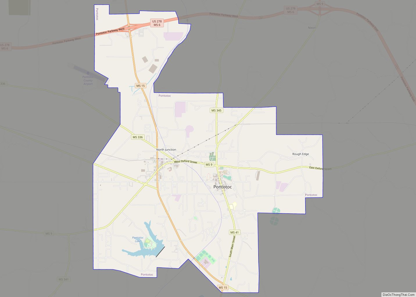
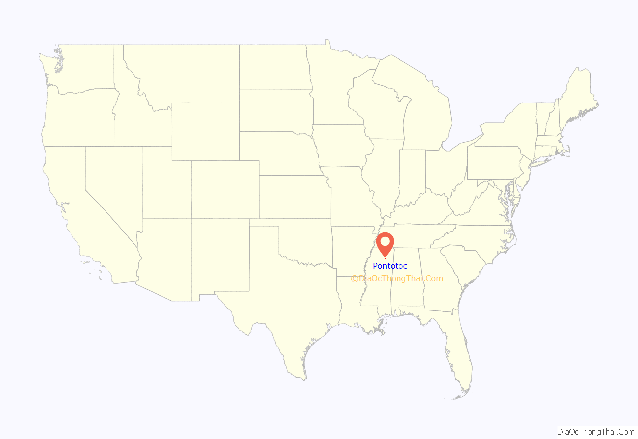
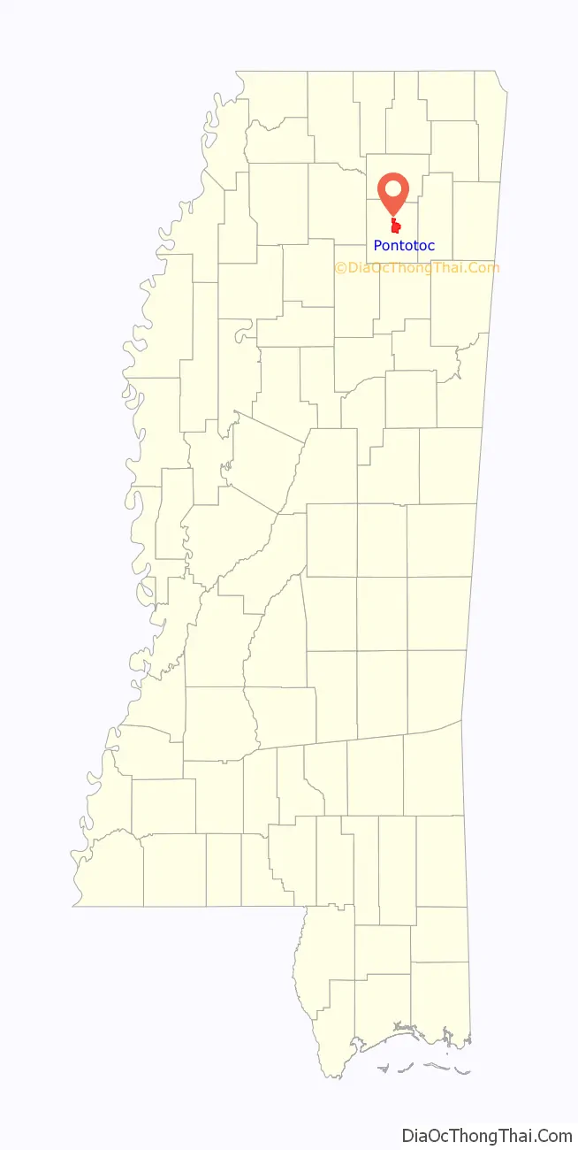
Pontotoc is a city in and the county seat of Pontotoc County, Mississippi, located to the west of the much larger city of Tupelo. The population was 5,625 at the 2010 census. Pontotoc is a Chickasaw word that means, “Land of the Hanging Grapes.”
| Name: | Pontotoc city |
|---|---|
| LSAD Code: | 25 |
| LSAD Description: | city (suffix) |
| State: | Mississippi |
| County: | Pontotoc County |
| Elevation: | 495 ft (151 m) |
| Total Area: | 11.33 sq mi (29.36 km²) |
| Land Area: | 11.18 sq mi (28.96 km²) |
| Water Area: | 0.15 sq mi (0.40 km²) |
| Total Population: | 5,640 |
| Population Density: | 504.47/sq mi (194.78/km²) |
| ZIP code: | 38863 |
| Area code: | 662 |
| FIPS code: | 2859160 |
| GNISfeature ID: | 0691601 |
| Website: | www.pontotocms.org |
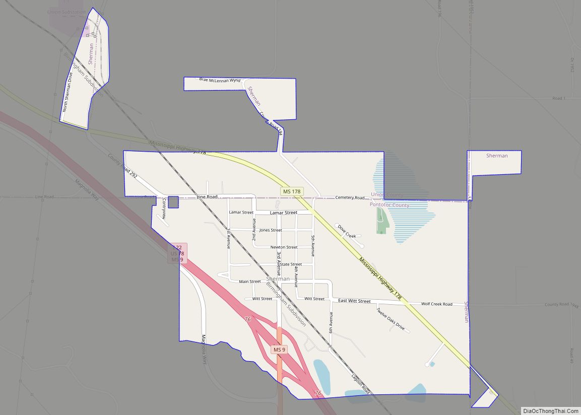
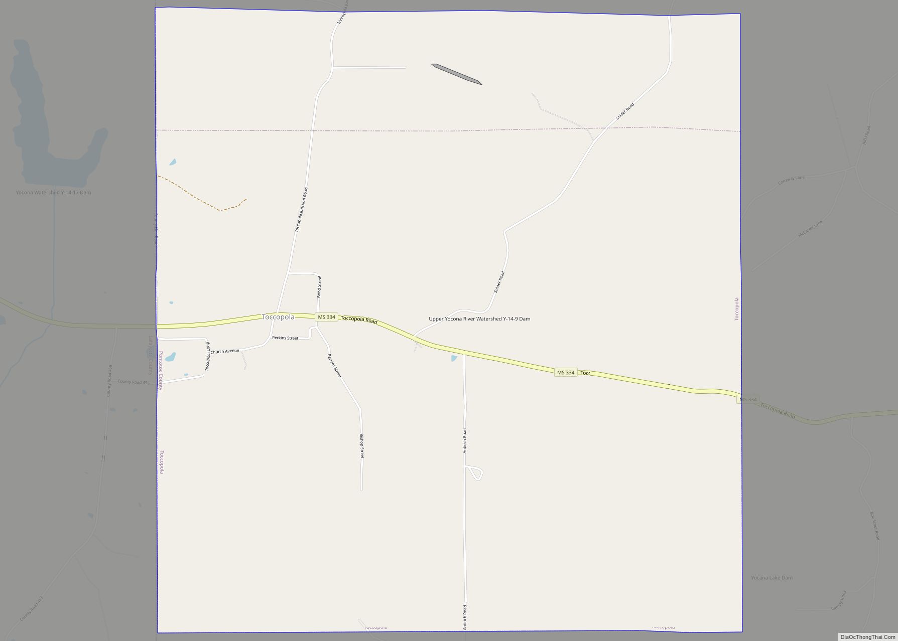
Online Interactive Map
Click on ![]() to view map in "full screen" mode.
to view map in "full screen" mode.
Pontotoc location map. Where is Pontotoc city?
History
Pontotoc is a Chickasaw word meaning “Land of Hanging Grapes”. The Chickasaw nation occupied this area long before Europeans colonized the Southeast, the last in a succession of indigenous peoples who had this territory for thousands of years. In the early 1830s they were forced to Indian Territory west of the Mississippi River through the federal program of Indian removal.
In the late 19th century, the outlaws Jesse and Frank James and their gang came into this area. They once hid at an old house that had been used as a Union Army hospital during the Battle of Harrisburg or Battle of Tupelo in the Civil War. The house was located at a crossroad in east Pontotoc County, near the Lee County line.
The Town Square Museum is located in the historic US post office near the county courthouse. This space is used to house and display Pontotoc memorabilia. A full-service post office continues to operate in the building, which was built in 1937 during the Great Depression. It was one of numerous projects of the Works Progress Administration (WPA) under President Franklin D. Roosevelt. Investment in this program created work opportunities in construction of needed public buildings and infrastructure across the country, employing thousands of workers.
A mural in the post office lobby, titled The Wedding of Ortez and SaOwana – Christmas 1540 (1939), was commissioned as public art. It depicts a legendary feast given by Hernando de Soto to celebrate what was said to be the first recorded Christian marriage on the North American continent. The account appears to be local myth.
The groom was said to be Juan Ortez (his name was spelled Ortiz in Spanish), an interpreter for the expedition. He was a Spanish national who had been captured in Florida years before and held by Chief Uceta. He was finally released as a slave and lived for years with the Mocoso people. His bride was said to be Princess Saowana, daughter of Chief Uceta. But Uceta’s daughter was documented as Uleleh and she married a cacique, another Chickasaw chief. The wedding is said to have taken place in Pontotoc County during a visit by de Soto’s party, but there is little documentation of such an event.
The mural was painted in 1939 by artist Joseph Pollet, who had immigrated to the US as a child with his family from Germany. He was commissioned under the arts program that was also part of the federal WPA program. Many artists and writers were employed by such projects, in addition to the workers who built federal buildings. Many murals and other art were created for post offices and other public buildings.
The city holds an annual festival in the Town Square during the last week of the month of September, called the Bodock Festival. It celebrates the Maclura pomifera (Osage orange) (also known as bois d’arc, or bowdock) tree located next to the historic mansion, Lochinvar; both survived a massive tornado in 2001.
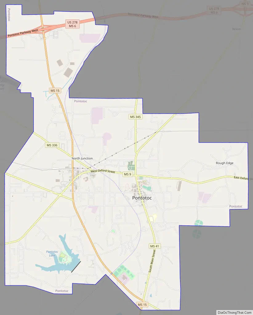
Pontotoc Road Map
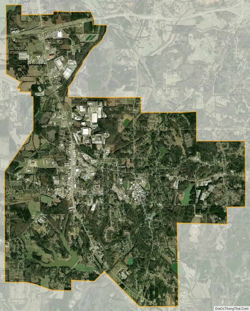
Pontotoc city Satellite Map
Geography
According to the United States Census Bureau, the city has a total area of 9.6 sq mi (25 km), of which 9.4 sq mi (24 km) is land and 0.2 sq mi (0.52 km) (1.66%) is covered by water.
See also
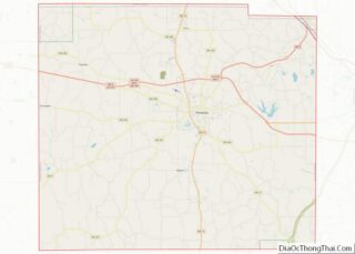
Map of Mississippi State and its subdivision:- Adams
- Alcorn
- Amite
- Attala
- Benton
- Bolivar
- Calhoun
- Carroll
- Chickasaw
- Choctaw
- Claiborne
- Clarke
- Clay
- Coahoma
- Copiah
- Covington
- Desoto
- Forrest
- Franklin
- George
- Greene
- Grenada
- Hancock
- Harrison
- Hinds
- Holmes
- Humphreys
- Issaquena
- Itawamba
- Jackson
- Jasper
- Jefferson
- Jefferson Davis
- Jones
- Kemper
- Lafayette
- Lamar
- Lauderdale
- Lawrence
- Leake
- Lee
- Leflore
- Lincoln
- Lowndes
- Madison
- Marion
- Marshall
- Monroe
- Montgomery
- Neshoba
- Newton
- Noxubee
- Oktibbeha
- Panola
- Pearl River
- Perry
- Pike
- Pontotoc
- Prentiss
- Quitman
- Rankin
- Scott
- Sharkey
- Simpson
- Smith
- Stone
- Sunflower
- Tallahatchie
- Tate
- Tippah
- Tishomingo
- Tunica
- Union
- Walthall
- Warren
- Washington
- Wayne
- Webster
- Wilkinson
- Winston
- Yalobusha
- Yazoo
- Alabama
- Alaska
- Arizona
- Arkansas
- California
- Colorado
- Connecticut
- Delaware
- District of Columbia
- Florida
- Georgia
- Hawaii
- Idaho
- Illinois
- Indiana
- Iowa
- Kansas
- Kentucky
- Louisiana
- Maine
- Maryland
- Massachusetts
- Michigan
- Minnesota
- Mississippi
- Missouri
- Montana
- Nebraska
- Nevada
- New Hampshire
- New Jersey
- New Mexico
- New York
- North Carolina
- North Dakota
- Ohio
- Oklahoma
- Oregon
- Pennsylvania
- Rhode Island
- South Carolina
- South Dakota
- Tennessee
- Texas
- Utah
- Vermont
- Virginia
- Washington
- West Virginia
- Wisconsin
- Wyoming