Cleveland is a city in Bolivar County, Mississippi, United States. The population was 11,199 as of the 2020 United States Census.
Cleveland has a large commercial economy, with numerous restaurants, stores, and services along U.S. 61. Cleveland is one of the two county seats of Bolivar County (the other being Rosedale) Cleveland is also home to Delta State University and The Grammy Museum Mississippi, the first Grammy Museum outside of Los Angeles.
| Name: | Cleveland city |
|---|---|
| LSAD Code: | 25 |
| LSAD Description: | city (suffix) |
| State: | Mississippi |
| County: | Bolivar County |
| Elevation: | 141 ft (43 m) |
| Total Area: | 7.58 sq mi (19.63 km²) |
| Land Area: | 7.58 sq mi (19.63 km²) |
| Water Area: | 0.00 sq mi (0.00 km²) |
| Total Population: | 11,199 |
| Population Density: | 1,478.03/sq mi (570.63/km²) |
| ZIP code: | 38732-38733 |
| Area code: | 662 |
| FIPS code: | 2814260 |
| GNISfeature ID: | 0668601 |
Online Interactive Map
Click on ![]() to view map in "full screen" mode.
to view map in "full screen" mode.
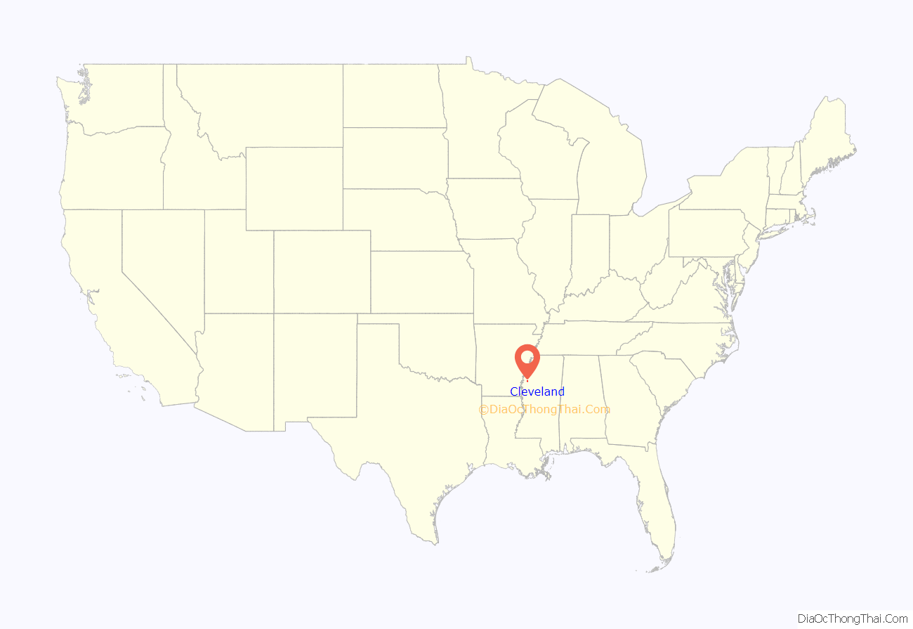
Cleveland location map. Where is Cleveland city?
History
Named after President Grover Cleveland, the town began formation in 1869 as people moved inland from the Mississippi River. The Louisville, New Orleans & Texas Railroad ran through the town and a portion of the railroad remains there today. Early records show the community was called Fontaine in 1884 and at some point Coleman’s Station. Moses W. Coleman built the first home on the bayou in the area. In 1885, it was officially named Sims after Rueben T. Sims, who owned part of the land on which the town stood. The village of Cleveland was chartered on March 25, 1886, and the United States Post Office recognized the town as such on August 5, 1887. It was Sims’s son, B.C. Sims, who was responsible for the name change to Cleveland.
The town grew steadily and by 1901 Cleveland was named the second county seat and a new courthouse was erected. Bolivar County is one of ten counties in Mississippi with two judicial districts.
As more trees were cleared, more land was put into cultivation. In the early days, all of the planting and harvesting was done by hand. At the end of WWI, African Americans left Bolivar County in great numbers, but many stayed, becoming tenant farmers. There was an increasing demand for labor and Delta planters began to recruit overseas. Today, in addition to the first settlers of English, Scottish, German, Irish, and African descent, Bolivar County is its own “melting pot” of ethnicities.
The African-American influence in Cleveland’s history is quite evident. Nearby Dockery Plantation is designated with a Mississippi Blues Trail marker declaring the location as the probable “Birthplace of the Blues.” Many of the early Delta Bluesmen lived and worked around Dockery, influencing each other and educating the next generation.
In the early 1920s, as the State Legislature considered a location for a new Normal college, Cleveland became the obvious choice due to its central Delta location, the railroad, and the donation of land. However, perhaps the most important factor in the equation was the City leaders’ willingness to relocate the infamous Black Bear Saloon that was located between the depot and the soon-to-be Delta Normal College, now Delta State University. In the early 1950s city leaders were able to attract Baxter Laboratories and Mississippi Power & Light’s Delta Steam Electric Station just north of town. The population of Cleveland basically doubled over the following decade.
In 1967, Senators Robert F. Kennedy and Joseph S. Clark Jr. began Senate hearings to assess the effectiveness of the War on Poverty programs. The first field hearings were held in Jackson, Mississippi, and the following day Kennedy and Clark set out to visit “pockets of poverty” in the Mississippi Delta. They arrived in Cleveland, along with Marian Wright and Peter Edelman, for a tour conducted by Amzie Moore. There they observed barefoot, underfed African-American children in tattered clothing, with vacant expressions and distended bellies. Kennedy told Edelman that he thought he had seen the worst poverty in the nation in West Virginia, but it paled in comparison to the poverty he observed in Cleveland.
Most recently, the City of Cleveland and Bolivar County, partnering with DSU, was able to see the realization of the Grammy Museum adjacent to Delta State’s campus. It is the most technologically advanced music museum in the world.
Cleveland is also home to the Railroad Heritage Museum, housing the largest O gauge model layout in the southeast, thousands of railroad artifacts, and a 1941 Illinois Central caboose, all paying tribute to Cleveland’s railroad beginnings. The Mississippi Delta Chinese Heritage Museum is located on the third floor of the Delta State Archives & Museum. The Boo Ferriss Baseball Museum, located beside the DSU baseball stadium, honors the late Red Sox pitcher and Hall of Famer, Boo Ferriss, a Shaw, Miss. native and legendary coach at DSU. The Amzie Moore House is the actual home of the late Civil Rights leader, which has been preserved and converted into a museum, paying tribute to his efforts. The home has also been designated as a stop on the Freedom Trail.
Cleveland Road Map
Cleveland city Satellite Map
Geography
Cleveland is located 19 mi (31 km) southeast of Rosedale and the Mississippi River along Mississippi Highway 8. U.S. Route 61 (N-S) and route 8 (E-W) are the main highways serving Cleveland. Jones Bayou and the old Illinois Central Railroad pass through the city from south to north.
According to the United States Census Bureau, the city has a total area of 7.58 square miles (19.6 km), all land.
See also
Map of Mississippi State and its subdivision:- Adams
- Alcorn
- Amite
- Attala
- Benton
- Bolivar
- Calhoun
- Carroll
- Chickasaw
- Choctaw
- Claiborne
- Clarke
- Clay
- Coahoma
- Copiah
- Covington
- Desoto
- Forrest
- Franklin
- George
- Greene
- Grenada
- Hancock
- Harrison
- Hinds
- Holmes
- Humphreys
- Issaquena
- Itawamba
- Jackson
- Jasper
- Jefferson
- Jefferson Davis
- Jones
- Kemper
- Lafayette
- Lamar
- Lauderdale
- Lawrence
- Leake
- Lee
- Leflore
- Lincoln
- Lowndes
- Madison
- Marion
- Marshall
- Monroe
- Montgomery
- Neshoba
- Newton
- Noxubee
- Oktibbeha
- Panola
- Pearl River
- Perry
- Pike
- Pontotoc
- Prentiss
- Quitman
- Rankin
- Scott
- Sharkey
- Simpson
- Smith
- Stone
- Sunflower
- Tallahatchie
- Tate
- Tippah
- Tishomingo
- Tunica
- Union
- Walthall
- Warren
- Washington
- Wayne
- Webster
- Wilkinson
- Winston
- Yalobusha
- Yazoo
- Alabama
- Alaska
- Arizona
- Arkansas
- California
- Colorado
- Connecticut
- Delaware
- District of Columbia
- Florida
- Georgia
- Hawaii
- Idaho
- Illinois
- Indiana
- Iowa
- Kansas
- Kentucky
- Louisiana
- Maine
- Maryland
- Massachusetts
- Michigan
- Minnesota
- Mississippi
- Missouri
- Montana
- Nebraska
- Nevada
- New Hampshire
- New Jersey
- New Mexico
- New York
- North Carolina
- North Dakota
- Ohio
- Oklahoma
- Oregon
- Pennsylvania
- Rhode Island
- South Carolina
- South Dakota
- Tennessee
- Texas
- Utah
- Vermont
- Virginia
- Washington
- West Virginia
- Wisconsin
- Wyoming
