De Kalb is a town in and the county seat of Kemper County, Mississippi, United States. The population was 1,164 at the 2010 census. De Kalb is named after General Johann de Kalb, a Franconian-French military officer who served as a major general in the Continental Army during the American Revolutionary War.
| Name: | De Kalb town |
|---|---|
| LSAD Code: | 43 |
| LSAD Description: | town (suffix) |
| State: | Mississippi |
| County: | Kemper County |
| Elevation: | 466 ft (142 m) |
| Total Area: | 3.33 sq mi (8.61 km²) |
| Land Area: | 3.32 sq mi (8.60 km²) |
| Water Area: | 0.01 sq mi (0.02 km²) |
| Total Population: | 877 |
| Population Density: | 264.24/sq mi (102.03/km²) |
| ZIP code: | 39328 |
| Area code: | 601 |
| FIPS code: | 2818340 |
| GNISfeature ID: | 0669159 |
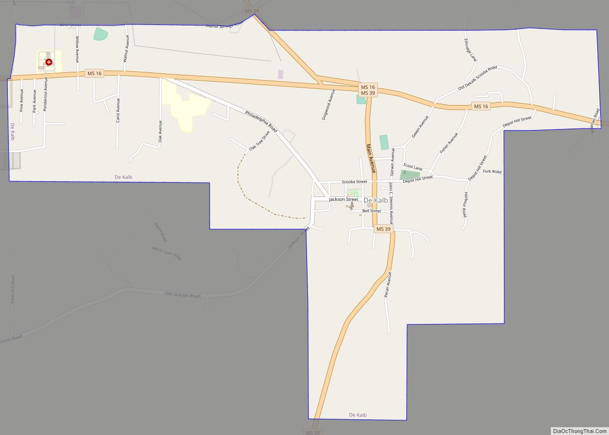
Online Interactive Map
Click on ![]() to view map in "full screen" mode.
to view map in "full screen" mode.
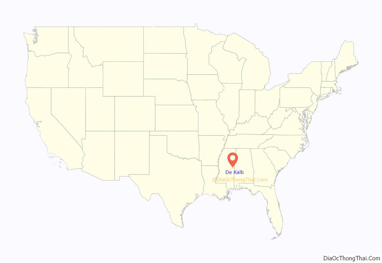
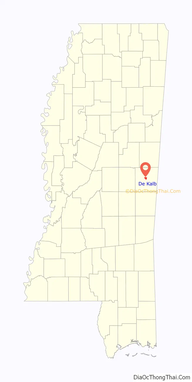
De Kalb location map. Where is De Kalb town?
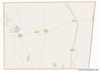
De Kalb Road Map

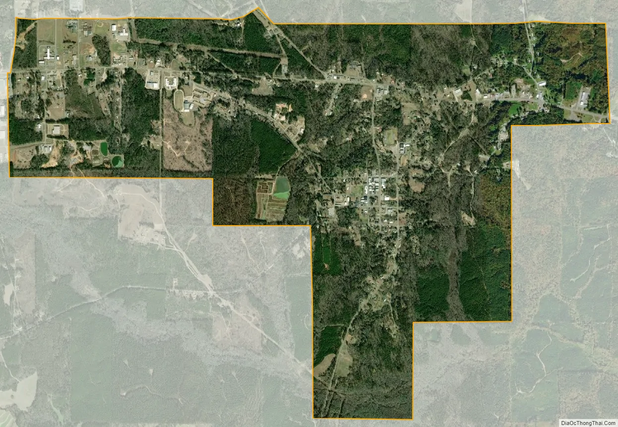
De Kalb city Satellite Map
Geography
De Kalb is located in central Kemper County at 32°46′11″N 88°39′1″W / 32.76972°N 88.65028°W / 32.76972; -88.65028 (32.769751, -88.650407). Mississippi Highway 16 passes through the north side of the town, leading east 11 miles (18 km) to Scooba and west 28 miles (45 km) to Philadelphia. Mississippi Highway 39 (Main Avenue) passes through the center of De Kalb, leading north 19 miles (31 km) to Shuqualak and south 30 miles (48 km) to Meridian.
According to the United States Census Bureau, De Kalb has a total area of 3.3 square miles (8.6 km), of which 0.01 square miles (0.02 km), or 0.22%, are water.
See also
Map of Mississippi State and its subdivision:- Adams
- Alcorn
- Amite
- Attala
- Benton
- Bolivar
- Calhoun
- Carroll
- Chickasaw
- Choctaw
- Claiborne
- Clarke
- Clay
- Coahoma
- Copiah
- Covington
- Desoto
- Forrest
- Franklin
- George
- Greene
- Grenada
- Hancock
- Harrison
- Hinds
- Holmes
- Humphreys
- Issaquena
- Itawamba
- Jackson
- Jasper
- Jefferson
- Jefferson Davis
- Jones
- Kemper
- Lafayette
- Lamar
- Lauderdale
- Lawrence
- Leake
- Lee
- Leflore
- Lincoln
- Lowndes
- Madison
- Marion
- Marshall
- Monroe
- Montgomery
- Neshoba
- Newton
- Noxubee
- Oktibbeha
- Panola
- Pearl River
- Perry
- Pike
- Pontotoc
- Prentiss
- Quitman
- Rankin
- Scott
- Sharkey
- Simpson
- Smith
- Stone
- Sunflower
- Tallahatchie
- Tate
- Tippah
- Tishomingo
- Tunica
- Union
- Walthall
- Warren
- Washington
- Wayne
- Webster
- Wilkinson
- Winston
- Yalobusha
- Yazoo
- Alabama
- Alaska
- Arizona
- Arkansas
- California
- Colorado
- Connecticut
- Delaware
- District of Columbia
- Florida
- Georgia
- Hawaii
- Idaho
- Illinois
- Indiana
- Iowa
- Kansas
- Kentucky
- Louisiana
- Maine
- Maryland
- Massachusetts
- Michigan
- Minnesota
- Mississippi
- Missouri
- Montana
- Nebraska
- Nevada
- New Hampshire
- New Jersey
- New Mexico
- New York
- North Carolina
- North Dakota
- Ohio
- Oklahoma
- Oregon
- Pennsylvania
- Rhode Island
- South Carolina
- South Dakota
- Tennessee
- Texas
- Utah
- Vermont
- Virginia
- Washington
- West Virginia
- Wisconsin
- Wyoming