Scooba is a town in Kemper County, Mississippi, United States. The population was 732 as of the 2010 Census.
| Name: | Scooba town |
|---|---|
| LSAD Code: | 43 |
| LSAD Description: | town (suffix) |
| State: | Mississippi |
| County: | Kemper County |
| Elevation: | 213 ft (65 m) |
| Total Area: | 2.48 sq mi (6.42 km²) |
| Land Area: | 2.48 sq mi (6.42 km²) |
| Water Area: | 0.00 sq mi (0.00 km²) |
| Total Population: | 744 |
| Population Density: | 300.12/sq mi (115.88/km²) |
| ZIP code: | 39358 |
| Area code: | 662 |
| FIPS code: | 2866160 |
| GNISfeature ID: | 677458 |
Online Interactive Map
Click on ![]() to view map in "full screen" mode.
to view map in "full screen" mode.
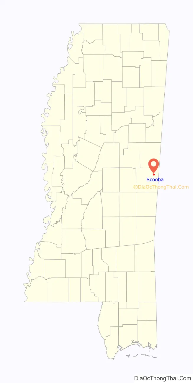
Scooba location map. Where is Scooba town?

History
The first permanent settlement at Scooba was made in the 1830s. Scooba is a Choctaw word meaning “reed brake” (i.e., a farming tool used on reeds), and the early settlement was noted for its productive farmland.
A line of the Gulf, Mobile and Ohio Railroad passed through Scooba. A Democratic weekly newspaper, The Kemper Herald, was established in Scooba in 1876. By the early 1900s, Scooba had several residential homes, a hotel, a livery barn, a post office, two saw milling plants, a cotton gin, a general store, five churches (three white and two colored), a school, and a bank (the Bank of Kemper, established in 1904). Scooba was a local market for cotton.
In late December 1906, Scooba and Wahalak, Mississippi, were the sites of white rioting against blacks. In the various conflicts, which started with confrontations between passengers and conductors on the railroad, a total of 12 blacks and two whites were killed by December 26. The county sheriff called in the state militia for assistance. The events were covered by national newspapers.
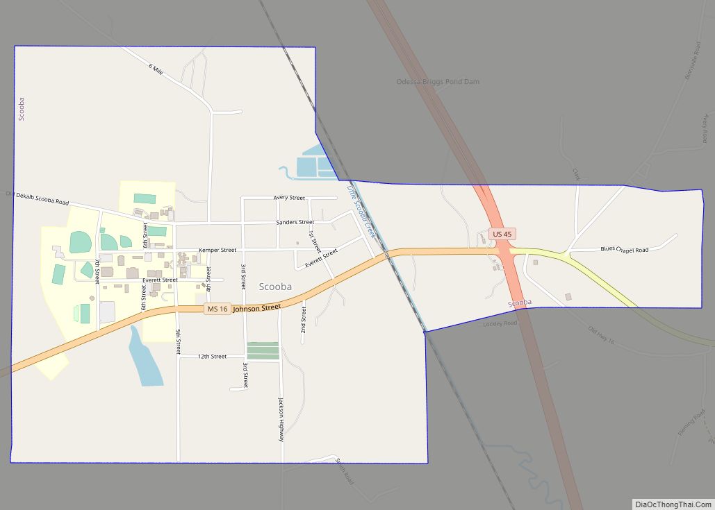
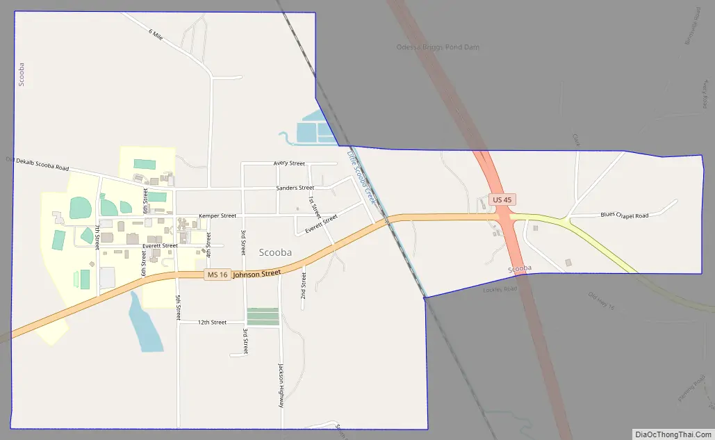
Scooba Road Map
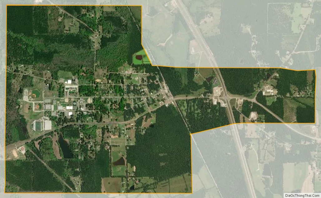
Scooba city Satellite Map
Geography
According to the United States Census Bureau, the town has a total area of 2.5 square miles (6.5 km), all land.
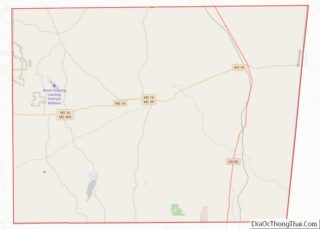
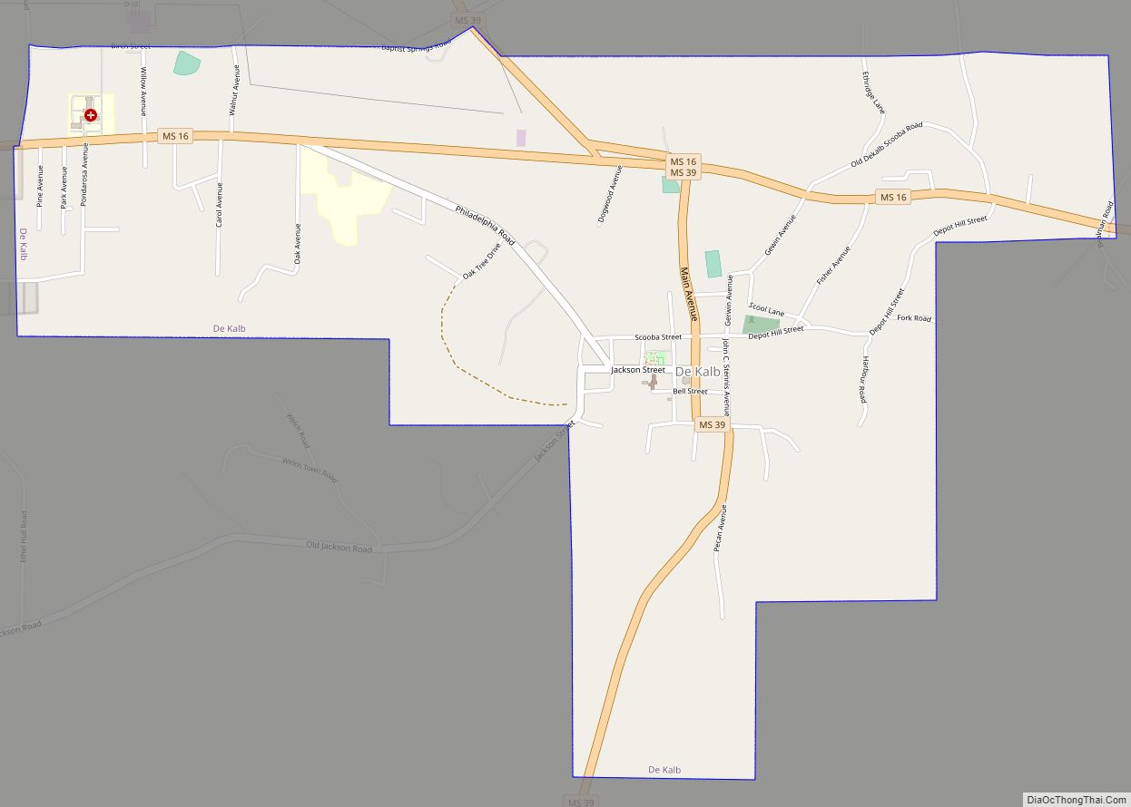
Scooba is adjacent to U.S. Route 45, Mississippi Highway 16, and a railroad. It is 35 miles (56 km) north of Meridian and 50 miles (80 km) south of Columbus.
See also
Map of Mississippi State and its subdivision:- Adams
- Alcorn
- Amite
- Attala
- Benton
- Bolivar
- Calhoun
- Carroll
- Chickasaw
- Choctaw
- Claiborne
- Clarke
- Clay
- Coahoma
- Copiah
- Covington
- Desoto
- Forrest
- Franklin
- George
- Greene
- Grenada
- Hancock
- Harrison
- Hinds
- Holmes
- Humphreys
- Issaquena
- Itawamba
- Jackson
- Jasper
- Jefferson
- Jefferson Davis
- Jones
- Kemper
- Lafayette
- Lamar
- Lauderdale
- Lawrence
- Leake
- Lee
- Leflore
- Lincoln
- Lowndes
- Madison
- Marion
- Marshall
- Monroe
- Montgomery
- Neshoba
- Newton
- Noxubee
- Oktibbeha
- Panola
- Pearl River
- Perry
- Pike
- Pontotoc
- Prentiss
- Quitman
- Rankin
- Scott
- Sharkey
- Simpson
- Smith
- Stone
- Sunflower
- Tallahatchie
- Tate
- Tippah
- Tishomingo
- Tunica
- Union
- Walthall
- Warren
- Washington
- Wayne
- Webster
- Wilkinson
- Winston
- Yalobusha
- Yazoo
- Alabama
- Alaska
- Arizona
- Arkansas
- California
- Colorado
- Connecticut
- Delaware
- District of Columbia
- Florida
- Georgia
- Hawaii
- Idaho
- Illinois
- Indiana
- Iowa
- Kansas
- Kentucky
- Louisiana
- Maine
- Maryland
- Massachusetts
- Michigan
- Minnesota
- Mississippi
- Missouri
- Montana
- Nebraska
- Nevada
- New Hampshire
- New Jersey
- New Mexico
- New York
- North Carolina
- North Dakota
- Ohio
- Oklahoma
- Oregon
- Pennsylvania
- Rhode Island
- South Carolina
- South Dakota
- Tennessee
- Texas
- Utah
- Vermont
- Virginia
- Washington
- West Virginia
- Wisconsin
- Wyoming