Enterprise is a town in Clarke County, Mississippi, United States. The population was 526 at the 2010 census.
| Name: | Enterprise town |
|---|---|
| LSAD Code: | 43 |
| LSAD Description: | town (suffix) |
| State: | Mississippi |
| County: | Clarke County |
| Elevation: | 259 ft (79 m) |
| Total Area: | 2.46 sq mi (6.37 km²) |
| Land Area: | 2.45 sq mi (6.35 km²) |
| Water Area: | 0.01 sq mi (0.02 km²) |
| Total Population: | 496 |
| Population Density: | 202.28/sq mi (78.10/km²) |
| ZIP code: | 39330 |
| Area code: | 601 |
| FIPS code: | 2822580 |
| GNISfeature ID: | 0669792 |
| Website: | www.townofenterprise.com |
Online Interactive Map
Click on ![]() to view map in "full screen" mode.
to view map in "full screen" mode.
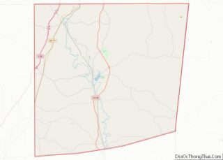
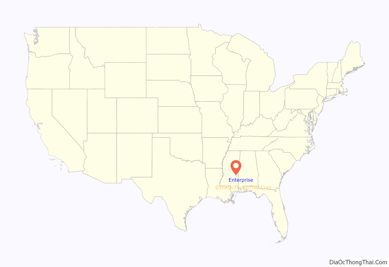
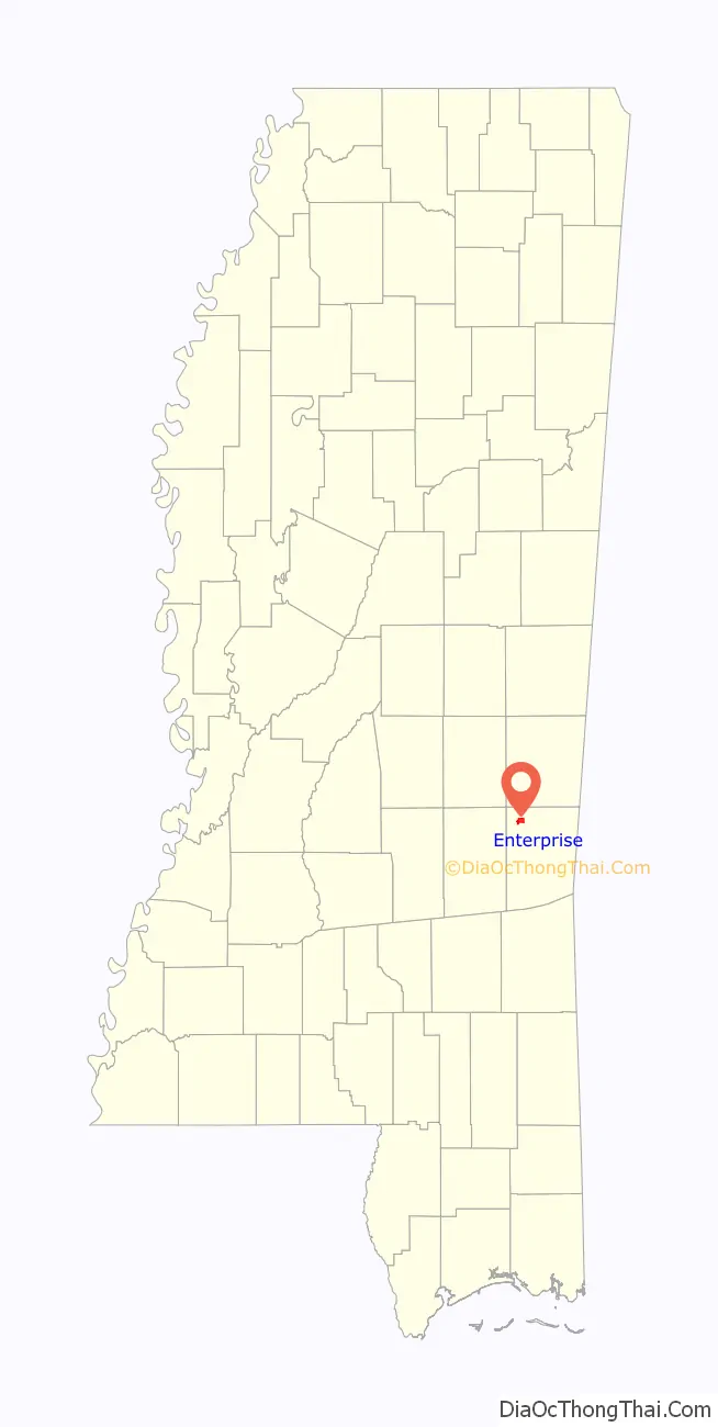
Enterprise location map. Where is Enterprise town?
History
Enterprise was so named “to denote the policy of their inhabitants”.
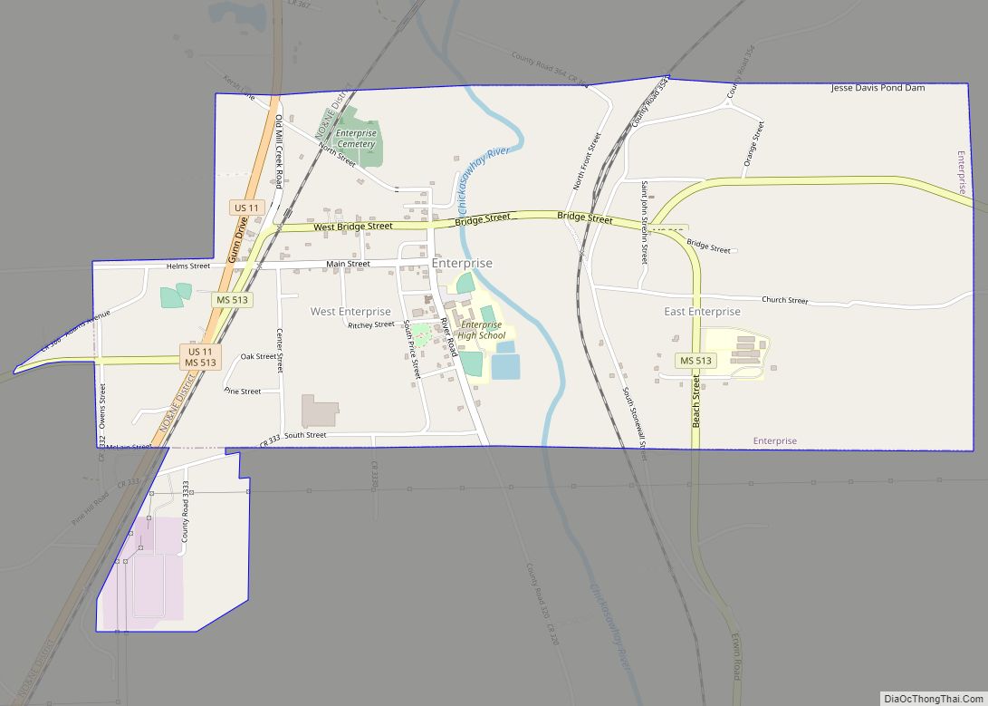
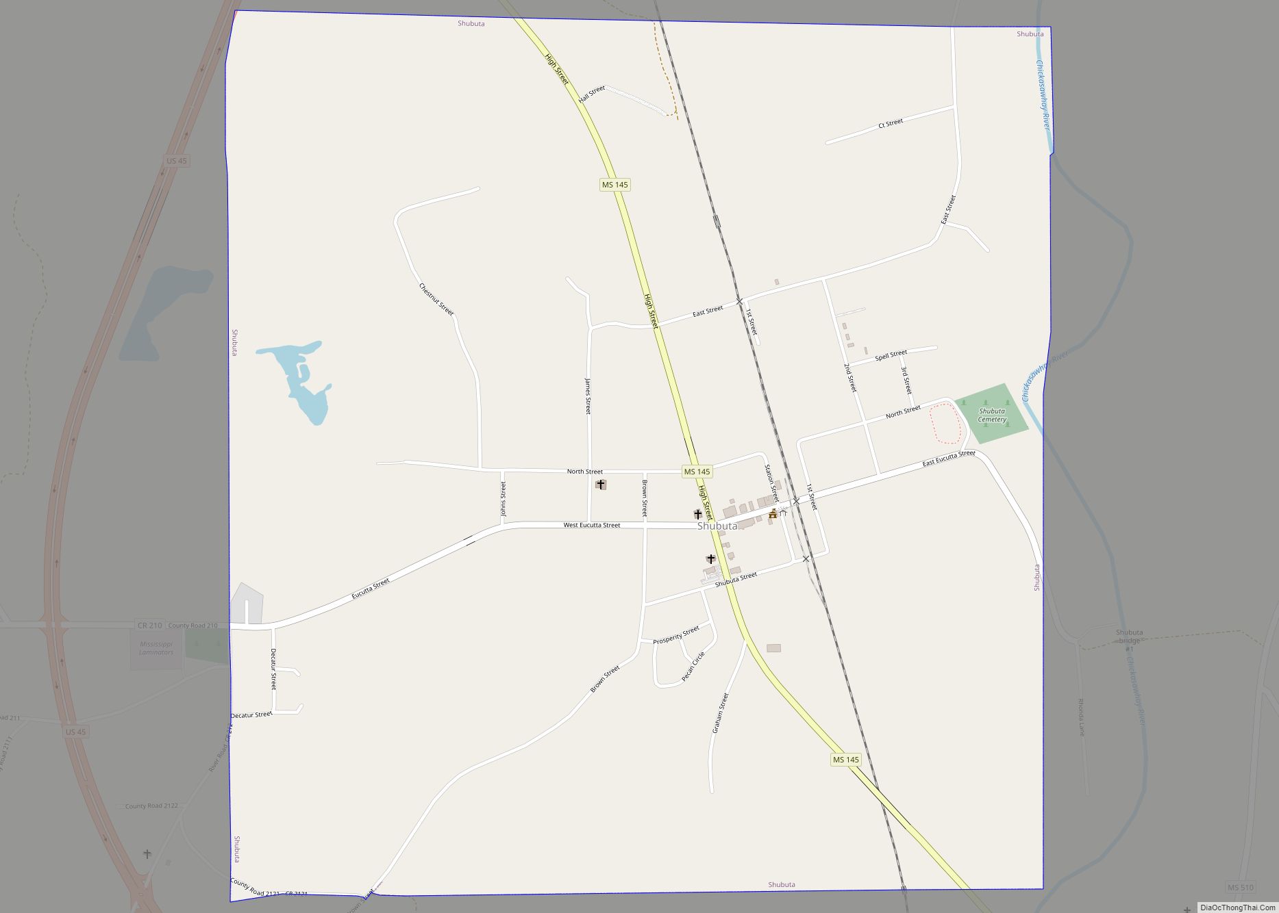
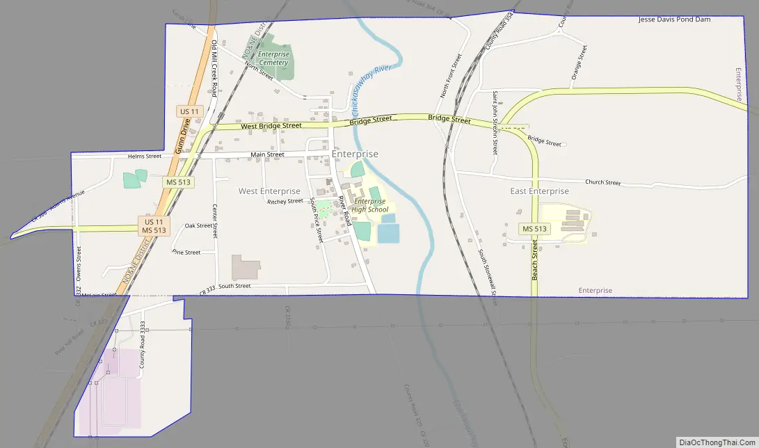
Enterprise Road Map
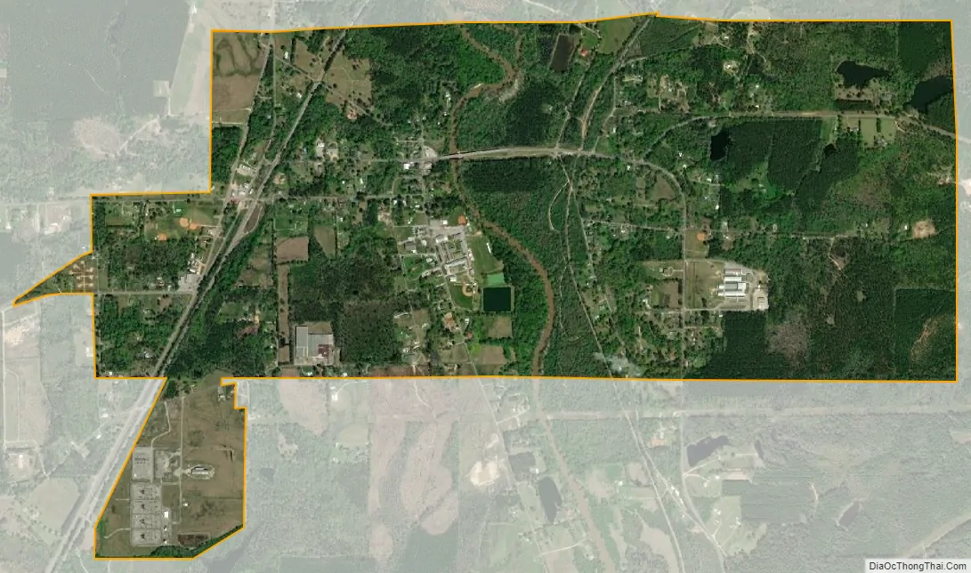
Enterprise city Satellite Map
Geography
Enterprise is located in northwestern Clarke County at 32°10′25″N 88°49′19″W / 32.17361°N 88.82194°W / 32.17361; -88.82194 (32.173620, -88.821935). The Chickasawhay River is formed at Enterprise by the confluence of the Chunky River and Okatibbee Creek.
U.S. Route 11 passes through the west side of the town, leading north 17 miles (27 km) to Meridian and south 39 miles (63 km) to Laurel. Exit 134 on Interstate 59 is 2 miles (3 km) west of town.
According to the United States Census Bureau, the town has a total area of 2.4 square miles (6.3 km), of which 0.0077 square miles (0.02 km), or 0.27%, is water.
See also
Map of Mississippi State and its subdivision:- Adams
- Alcorn
- Amite
- Attala
- Benton
- Bolivar
- Calhoun
- Carroll
- Chickasaw
- Choctaw
- Claiborne
- Clarke
- Clay
- Coahoma
- Copiah
- Covington
- Desoto
- Forrest
- Franklin
- George
- Greene
- Grenada
- Hancock
- Harrison
- Hinds
- Holmes
- Humphreys
- Issaquena
- Itawamba
- Jackson
- Jasper
- Jefferson
- Jefferson Davis
- Jones
- Kemper
- Lafayette
- Lamar
- Lauderdale
- Lawrence
- Leake
- Lee
- Leflore
- Lincoln
- Lowndes
- Madison
- Marion
- Marshall
- Monroe
- Montgomery
- Neshoba
- Newton
- Noxubee
- Oktibbeha
- Panola
- Pearl River
- Perry
- Pike
- Pontotoc
- Prentiss
- Quitman
- Rankin
- Scott
- Sharkey
- Simpson
- Smith
- Stone
- Sunflower
- Tallahatchie
- Tate
- Tippah
- Tishomingo
- Tunica
- Union
- Walthall
- Warren
- Washington
- Wayne
- Webster
- Wilkinson
- Winston
- Yalobusha
- Yazoo
- Alabama
- Alaska
- Arizona
- Arkansas
- California
- Colorado
- Connecticut
- Delaware
- District of Columbia
- Florida
- Georgia
- Hawaii
- Idaho
- Illinois
- Indiana
- Iowa
- Kansas
- Kentucky
- Louisiana
- Maine
- Maryland
- Massachusetts
- Michigan
- Minnesota
- Mississippi
- Missouri
- Montana
- Nebraska
- Nevada
- New Hampshire
- New Jersey
- New Mexico
- New York
- North Carolina
- North Dakota
- Ohio
- Oklahoma
- Oregon
- Pennsylvania
- Rhode Island
- South Carolina
- South Dakota
- Tennessee
- Texas
- Utah
- Vermont
- Virginia
- Washington
- West Virginia
- Wisconsin
- Wyoming