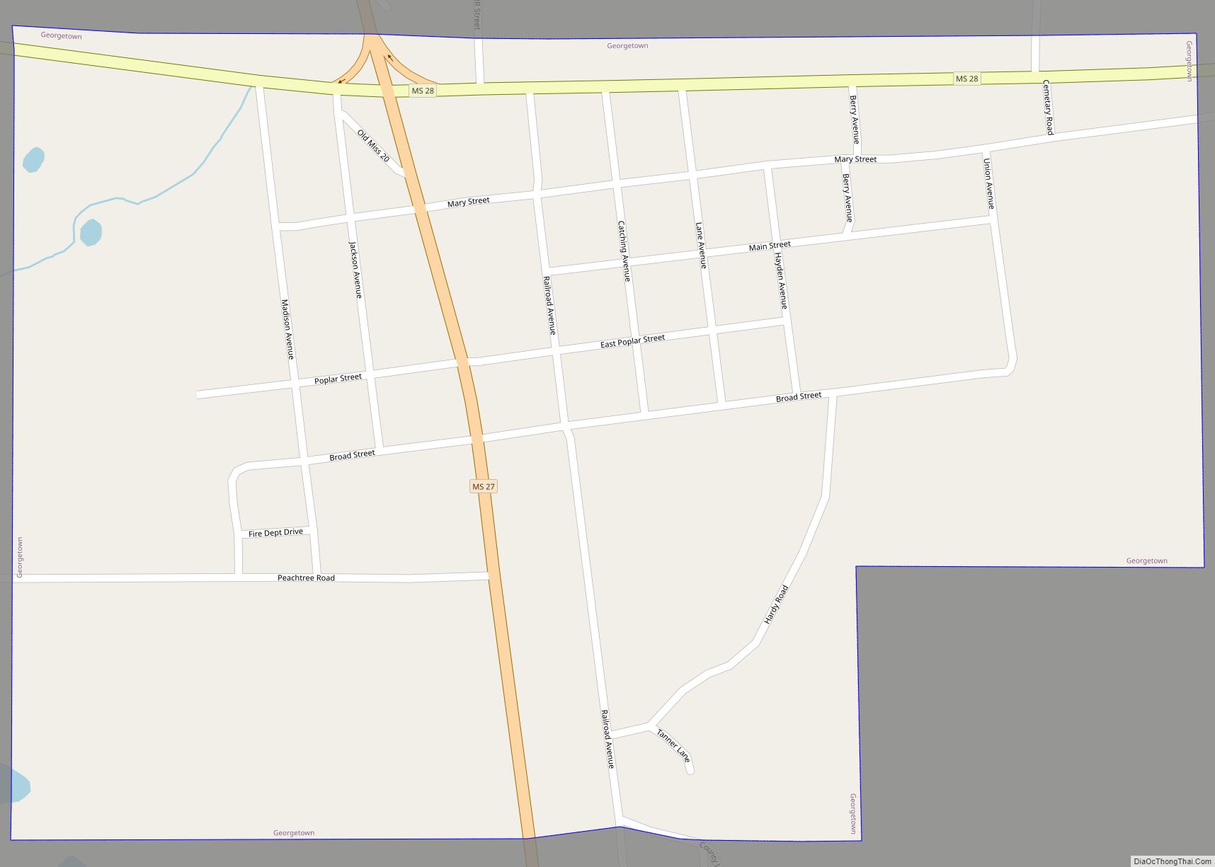
Georgetown is a town in Copiah County, Mississippi, United States. The population was 286 at the 2010 census. With its eastern border formed by the Pearl River, it is part of the Jackson Metropolitan Statistical Area.
Two sites near Georgetown are listed on the National Register of Historic Places: the Highway 28 bridge over the Pearl River, about a mile east of Georgetown, and the Alford-Little House, off Highway 27 south of town.
| Name: | Georgetown town |
|---|---|
| LSAD Code: | 43 |
| LSAD Description: | town (suffix) |
| State: | Mississippi |
| County: | Copiah County |
| Elevation: | 233 ft (71 m) |
| Total Area: | 0.68 sq mi (1.76 km²) |
| Land Area: | 0.67 sq mi (1.74 km²) |
| Water Area: | 0.01 sq mi (0.02 km²) |
| Total Population: | 252 |
| Population Density: | 374.44/sq mi (144.67/km²) |
| ZIP code: | 39078 |
| Area code: | 601 |
| FIPS code: | 2826980 |
| GNISfeature ID: | 0670358 |
Online Interactive Map
Click on ![]() to view map in "full screen" mode.
to view map in "full screen" mode.
Georgetown location map. Where is Georgetown town?
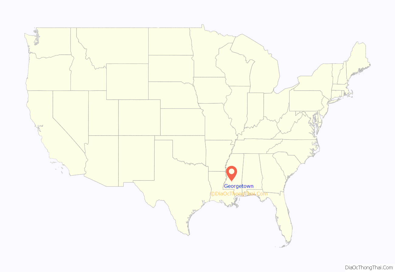
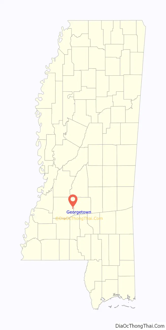
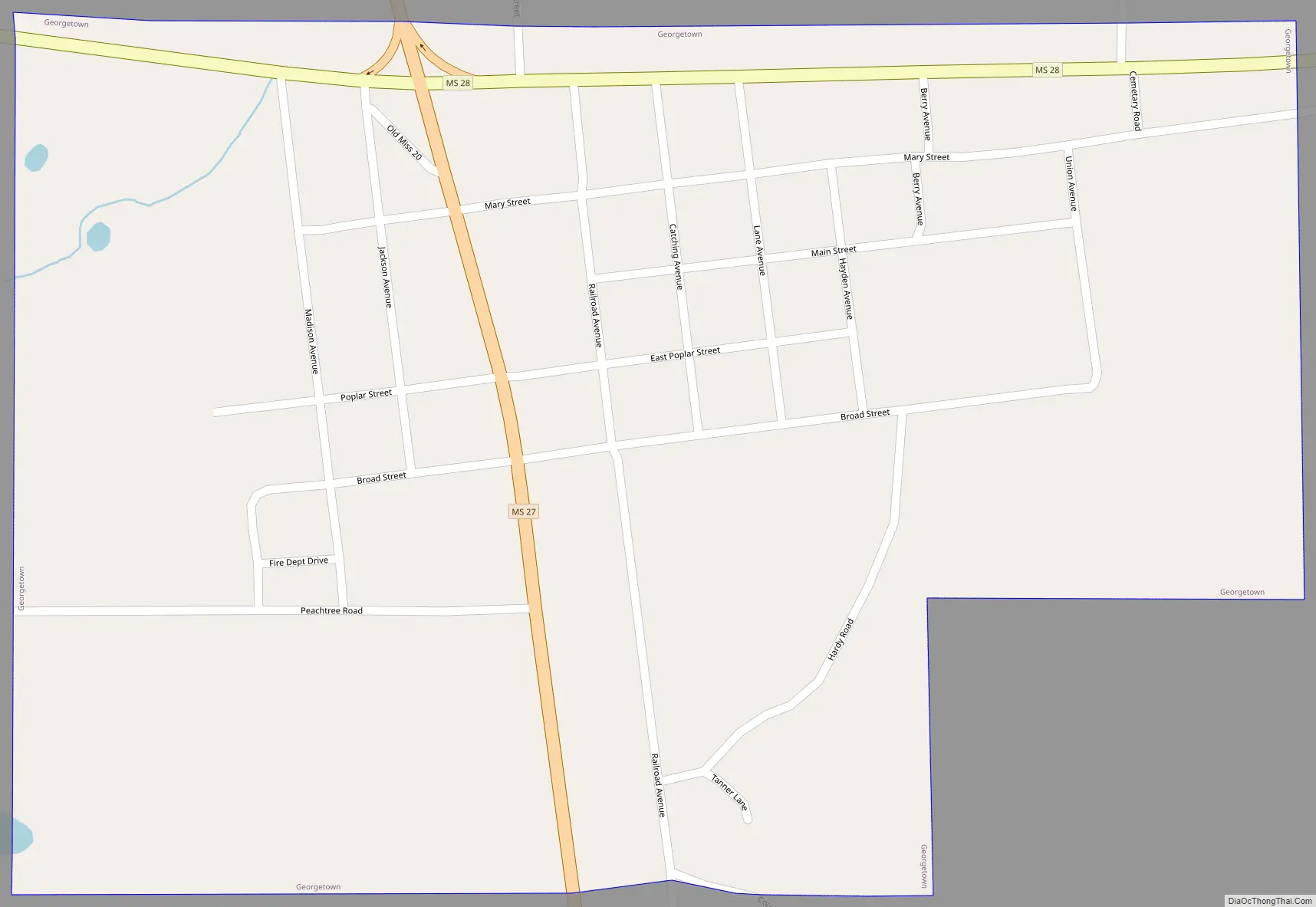
Georgetown Road Map
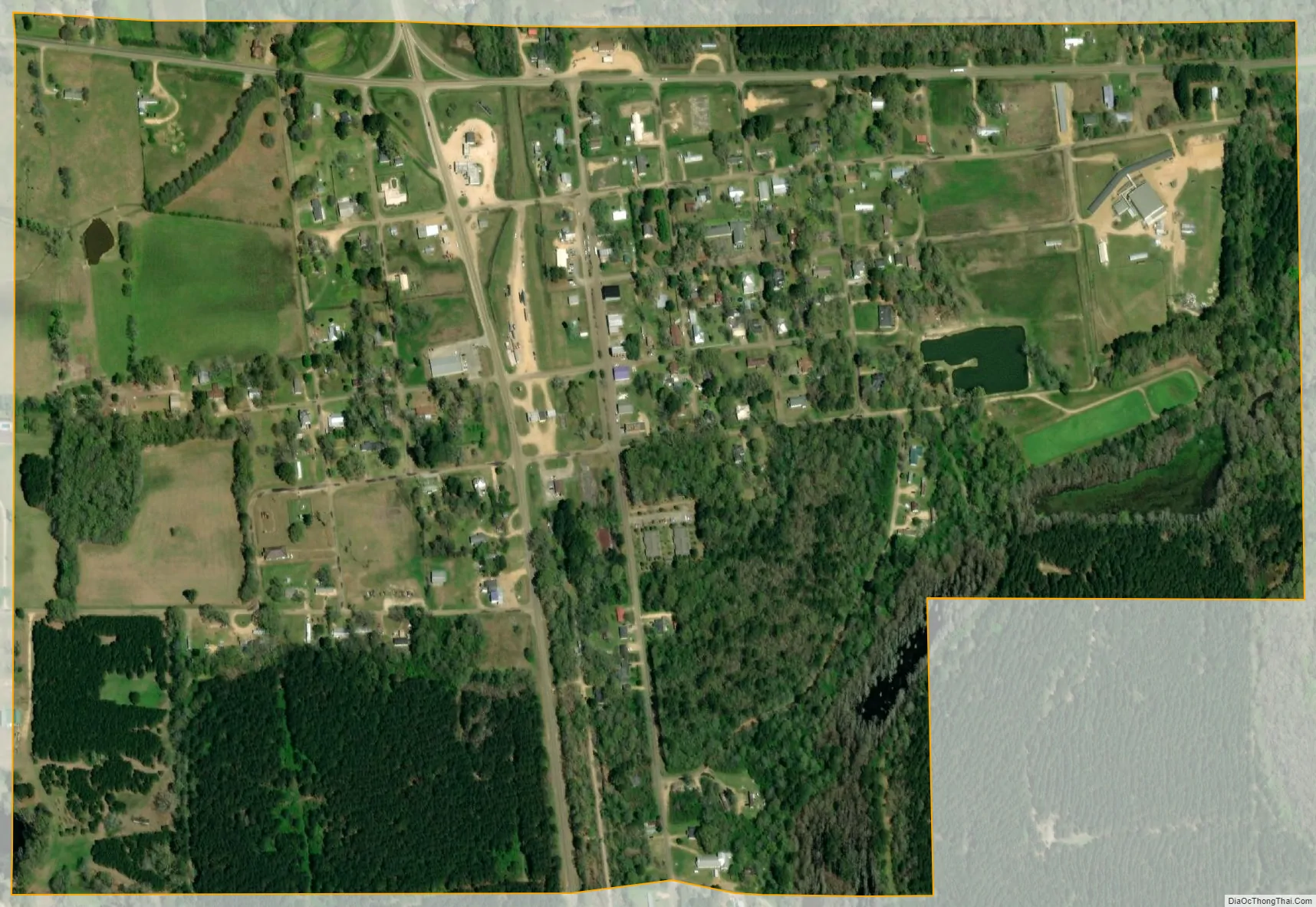
Georgetown city Satellite Map
Geography
Georgetown is located in eastern Copiah County at 31°52′16″N 90°9′51″W / 31.87111°N 90.16417°W / 31.87111; -90.16417. Mississippi Highway 28 leads west 14 miles (23 km) to Hazlehurst, the county seat, and east 29 miles (47 km) to Magee. Mississippi Highway 27 crosses Highway 28 on the northern edge of town and leads northwest 15 miles (24 km) to Crystal Springs and south 23 miles (37 km) to Monticello.
According to the United States Census Bureau, Georgetown has a total area of 0.69 square miles (1.8 km), of which 0.008 square miles (0.02 km), or 1.23%, is water.
See also
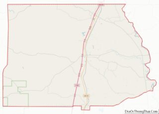
Map of Mississippi State and its subdivision:- Adams
- Alcorn
- Amite
- Attala
- Benton
- Bolivar
- Calhoun
- Carroll
- Chickasaw
- Choctaw
- Claiborne
- Clarke
- Clay
- Coahoma
- Copiah
- Covington
- Desoto
- Forrest
- Franklin
- George
- Greene
- Grenada
- Hancock
- Harrison
- Hinds
- Holmes
- Humphreys
- Issaquena
- Itawamba
- Jackson
- Jasper
- Jefferson
- Jefferson Davis
- Jones
- Kemper
- Lafayette
- Lamar
- Lauderdale
- Lawrence
- Leake
- Lee
- Leflore
- Lincoln
- Lowndes
- Madison
- Marion
- Marshall
- Monroe
- Montgomery
- Neshoba
- Newton
- Noxubee
- Oktibbeha
- Panola
- Pearl River
- Perry
- Pike
- Pontotoc
- Prentiss
- Quitman
- Rankin
- Scott
- Sharkey
- Simpson
- Smith
- Stone
- Sunflower
- Tallahatchie
- Tate
- Tippah
- Tishomingo
- Tunica
- Union
- Walthall
- Warren
- Washington
- Wayne
- Webster
- Wilkinson
- Winston
- Yalobusha
- Yazoo
- Alabama
- Alaska
- Arizona
- Arkansas
- California
- Colorado
- Connecticut
- Delaware
- District of Columbia
- Florida
- Georgia
- Hawaii
- Idaho
- Illinois
- Indiana
- Iowa
- Kansas
- Kentucky
- Louisiana
- Maine
- Maryland
- Massachusetts
- Michigan
- Minnesota
- Mississippi
- Missouri
- Montana
- Nebraska
- Nevada
- New Hampshire
- New Jersey
- New Mexico
- New York
- North Carolina
- North Dakota
- Ohio
- Oklahoma
- Oregon
- Pennsylvania
- Rhode Island
- South Carolina
- South Dakota
- Tennessee
- Texas
- Utah
- Vermont
- Virginia
- Washington
- West Virginia
- Wisconsin
- Wyoming