Gloster is a town in central Amite County, Mississippi, United States. The population was 897 at the 2020 census.
| Name: | Gloster town |
|---|---|
| LSAD Code: | 43 |
| LSAD Description: | town (suffix) |
| State: | Mississippi |
| County: | Amite County |
| Elevation: | 423 ft (129 m) |
| Total Area: | 1.82 sq mi (4.72 km²) |
| Land Area: | 1.82 sq mi (4.72 km²) |
| Water Area: | 0.00 sq mi (0.00 km²) |
| Total Population: | 897 |
| Population Density: | 491.78/sq mi (189.88/km²) |
| ZIP code: | 39638 |
| Area code: | 601 |
| FIPS code: | 2827820 |
| GNISfeature ID: | 0693304 |
| Website: | www.amitecounty.ms/cities/gloster.php |
Online Interactive Map
Click on ![]() to view map in "full screen" mode.
to view map in "full screen" mode.
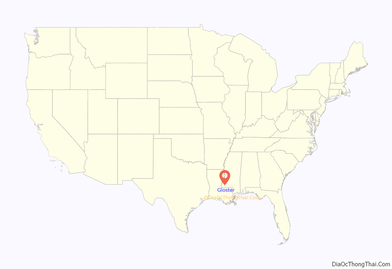
Gloster location map. Where is Gloster town?
History
Gloster was incorporated on March 11, 1884.
It was largely founded as a railroad town. Gloster was named after the engineer who put the Yazoo and Mississippi Valley R.R. through in the 1880s.
Drax Biomass operates a 450,000-metric-ton (440,000-long-ton) per year wood pellet production facility in Gloster. The facility was expected to create 45 jobs, and is called Amite BioEnergy.
Economic revival
Governor Tate Reeves of Mississippi came down to Gloster to announce Claw Forestry Services will build a $200 million sawmill on about 50 acres comprising the former Georgia-Pacific mill site and the adjoining former elementary school property. The elementary school has been closed for many years. Mayor Jerry Norwood said the announcement is “one of the proudest moments in my life, and my proudest moment as mayor.”
William VanDevender, chief executive officer of Claw, said once the plant is up and running, it should produce about 250 million board-feet of lumber a year, using about 1 million tons of logs annually, and make sales of more than $100 million a year. VanDevender and other Claw officials “recognize the quality of the workforce and the quality of the timber basket in Southwest Mississippi,” Reeves said after the presentation. “This will benefit not just the 130 families that have workers at the plant, but boost timber owners across a four to five-county region.”
Governor Reeves said, “he expects Southwest Mississippi Community College will play a large role in providing training for employees at the plant.
Gloster Forestry announced: “In connection with the new sawmill facility, efforts are underway to resume operation of the Gloster Southern Railroad to further revitalize industry and jobs in the underserved community.”
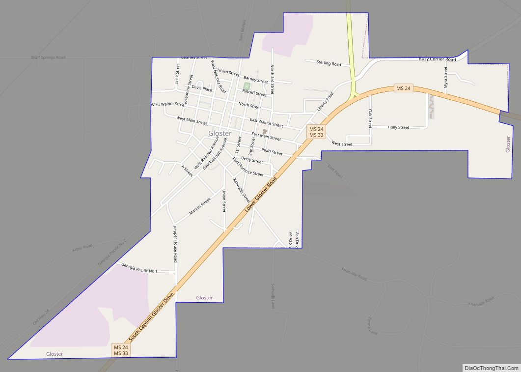
Gloster Road Map
Gloster city Satellite Map
See also
Map of Mississippi State and its subdivision:- Adams
- Alcorn
- Amite
- Attala
- Benton
- Bolivar
- Calhoun
- Carroll
- Chickasaw
- Choctaw
- Claiborne
- Clarke
- Clay
- Coahoma
- Copiah
- Covington
- Desoto
- Forrest
- Franklin
- George
- Greene
- Grenada
- Hancock
- Harrison
- Hinds
- Holmes
- Humphreys
- Issaquena
- Itawamba
- Jackson
- Jasper
- Jefferson
- Jefferson Davis
- Jones
- Kemper
- Lafayette
- Lamar
- Lauderdale
- Lawrence
- Leake
- Lee
- Leflore
- Lincoln
- Lowndes
- Madison
- Marion
- Marshall
- Monroe
- Montgomery
- Neshoba
- Newton
- Noxubee
- Oktibbeha
- Panola
- Pearl River
- Perry
- Pike
- Pontotoc
- Prentiss
- Quitman
- Rankin
- Scott
- Sharkey
- Simpson
- Smith
- Stone
- Sunflower
- Tallahatchie
- Tate
- Tippah
- Tishomingo
- Tunica
- Union
- Walthall
- Warren
- Washington
- Wayne
- Webster
- Wilkinson
- Winston
- Yalobusha
- Yazoo
- Alabama
- Alaska
- Arizona
- Arkansas
- California
- Colorado
- Connecticut
- Delaware
- District of Columbia
- Florida
- Georgia
- Hawaii
- Idaho
- Illinois
- Indiana
- Iowa
- Kansas
- Kentucky
- Louisiana
- Maine
- Maryland
- Massachusetts
- Michigan
- Minnesota
- Mississippi
- Missouri
- Montana
- Nebraska
- Nevada
- New Hampshire
- New Jersey
- New Mexico
- New York
- North Carolina
- North Dakota
- Ohio
- Oklahoma
- Oregon
- Pennsylvania
- Rhode Island
- South Carolina
- South Dakota
- Tennessee
- Texas
- Utah
- Vermont
- Virginia
- Washington
- West Virginia
- Wisconsin
- Wyoming


