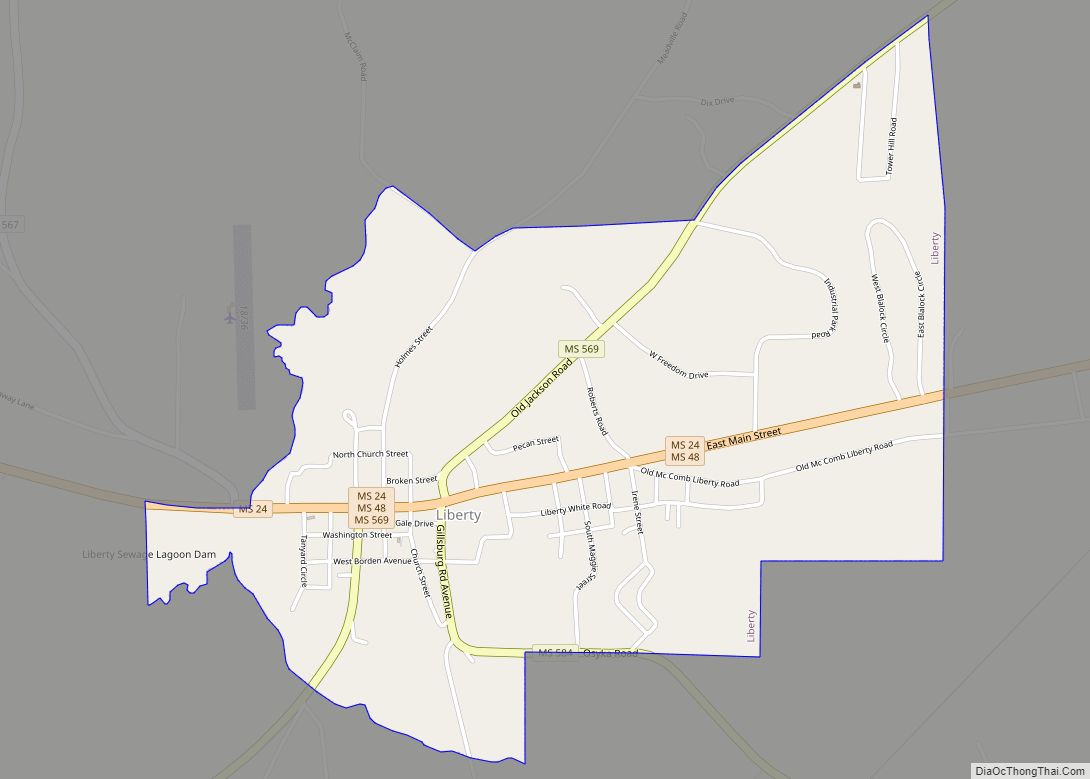
Liberty is a town in Amite County, Mississippi. It is part of the McComb, Mississippi micropolitan statistical area. It is the county seat of Amite County.
The town can be accessed via I-55, then west on Mississippi Highway 24. McGehee Air Park is located about a mile west of town.
Liberty celebrates its Heritage Days Festival during the first weekend of each May.
Air Cruisers manufacturing plant is located in Liberty. Owned by Zodiac Aerospace, the plant produces evacuation slides, life rafts, and life vests for the aviation industry.
Eleven sites in or near Liberty are listed on the National Register of Historic Places.
| Name: | Liberty town |
|---|---|
| LSAD Code: | 43 |
| LSAD Description: | town (suffix) |
| State: | Mississippi |
| County: | Amite County |
| Elevation: | 338 ft (103 m) |
| Total Area: | 2.06 sq mi (5.34 km²) |
| Land Area: | 2.06 sq mi (5.34 km²) |
| Water Area: | 0.00 sq mi (0.00 km²) |
| Total Population: | 560 |
| Population Density: | 271.71/sq mi (104.90/km²) |
| ZIP code: | 39645 |
| Area code: | 601 |
| FIPS code: | 2840640 |
| GNISfeature ID: | 0672435 |
| Website: | www.amitecounty.ms/liberty |
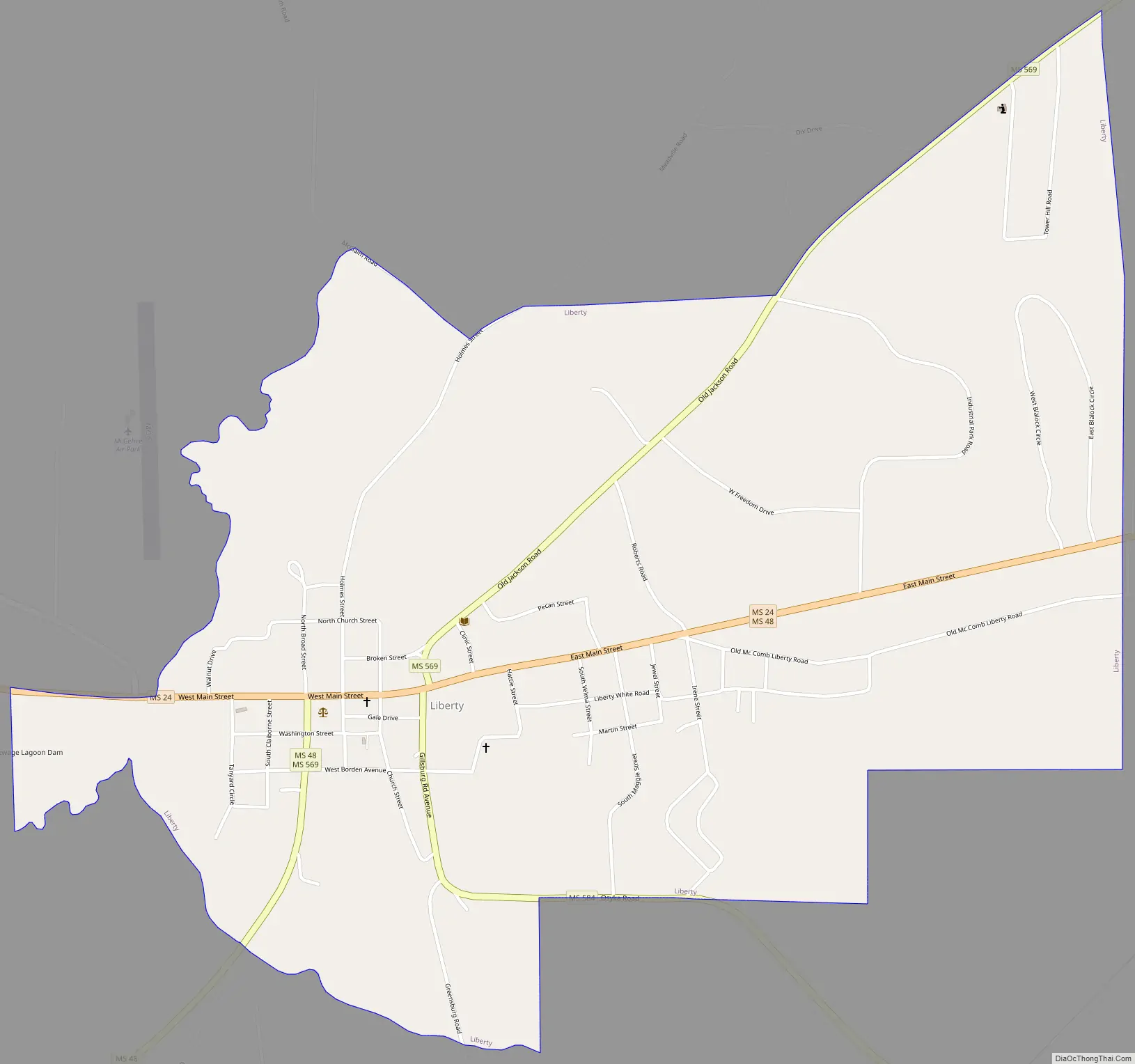
Online Interactive Map
Click on ![]() to view map in "full screen" mode.
to view map in "full screen" mode.
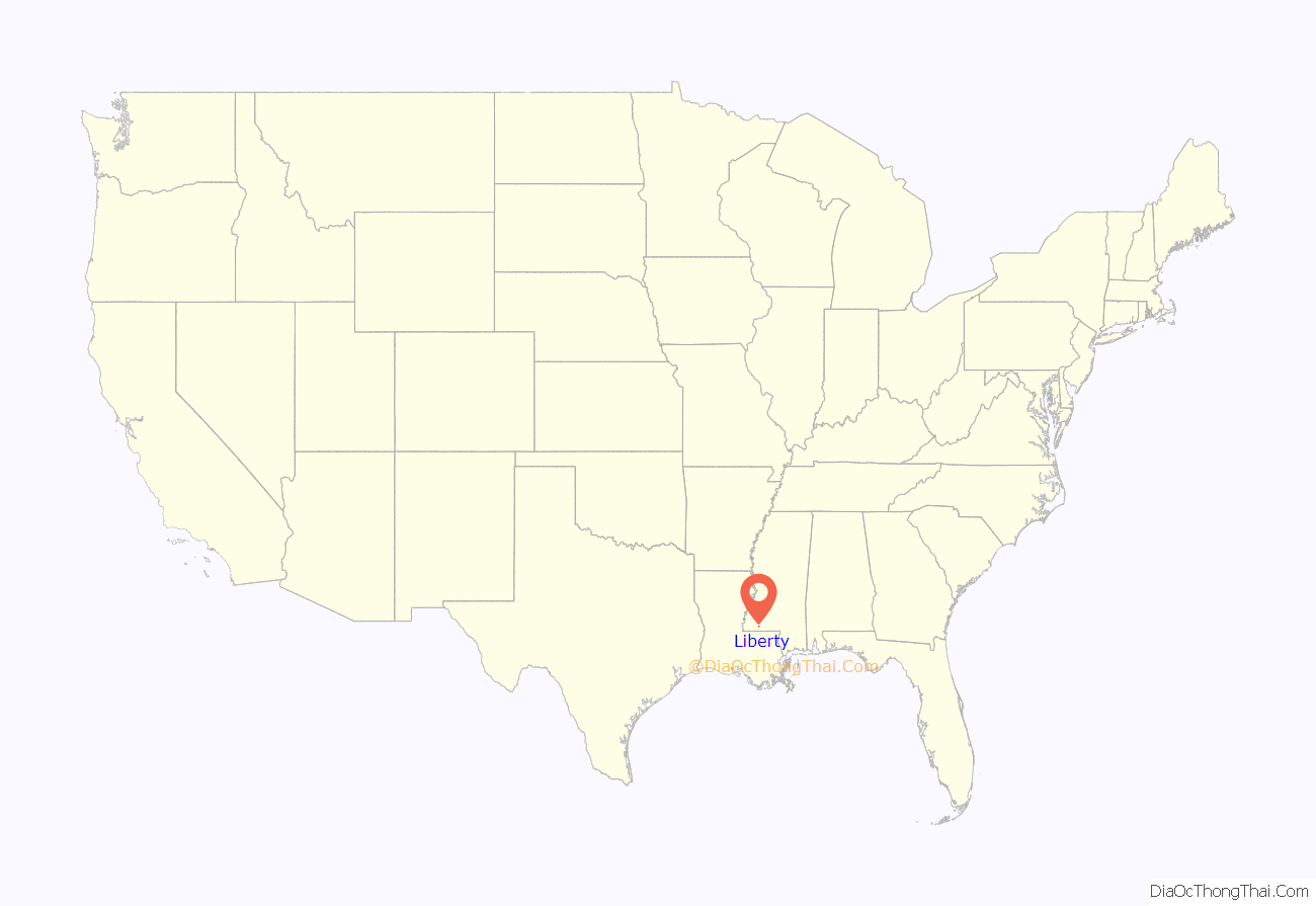
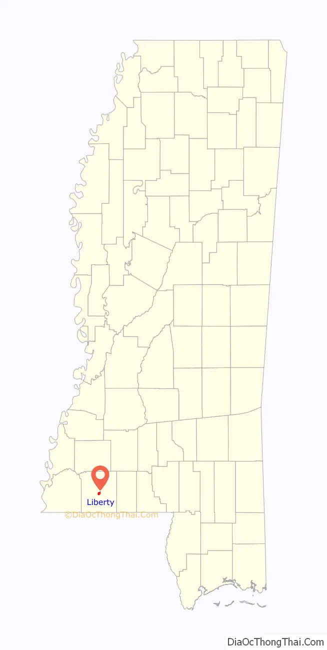
Liberty location map. Where is Liberty town?
History
Liberty was incorporated on February 24, 1809. The Amite County Courthouse in Liberty is the oldest in Mississippi. Erected in 1839, the courthouse was enlarged and modernized in 1936. It is listed on the National Register of Historic Places.
The Amite Female Seminary (also known as the ‘Little Red Schoolhouse’), built in 1853, was a girls finishing school located in Liberty. During the American Civil War, in the spring of 1863, Federal troops under the command of Colonel Benjamin Grierson, a former music teacher, burned the school, but spared the school’s music building. The Federal commander permitted musical instruments to be removed, and was prepared to give the order to torch the building, when he recognized the music school’s director, Rev. Milton Shirk, as a former classmate from New York. The two-story, two-room music building survives to this day on Mississippi Highway 569, and is listed on the National Register of Historic Places.
Gail Borden, who developed a process in the early 1850s for condensing milk and founded the New York Condensed Milk Company (later known as Borden Inc., lived in Liberty from 1822 to 1829.
Between 1904 and 1921, a branch of the Liberty–White Railroad, a narrow-gauge logging rail line serving the White Lumber Company, ran between McComb, Mississippi and Liberty.
During the Civil Rights Movement, in September 1961, Herbert Lee, an African-American dairy farmer and member of NAACP, was murdered in Liberty at the Westbrook Cotton Gin by E.H. Hurst, a white state legislator. Lee had attended voter registration classes and volunteered to try to register to vote, Witnesses to the killing were intimidated by armed white men in the courtroom to support Hurst’s claim of self-defense, and he was released without charges. Louis Allen, a married African-American landowner with a logging business, reported the truth about the crime to federal officials while seeking protection for testimony. He did not get protection. He suffered economic blackmail, arrests and harassment, and was killed in January 1964.
Liberty was the location of the fourth-wettest tropical cyclone in Mississippi in 2001; Tropical Storm Allison dropped 18.95 inches (481 mm) of precipitation.
Liberty, Texas is thought to have been named after this town, as numerous families from Amite County moved west in the 1820s to settle in the Atascosito district north-east of Houston.
Liberty Road Map
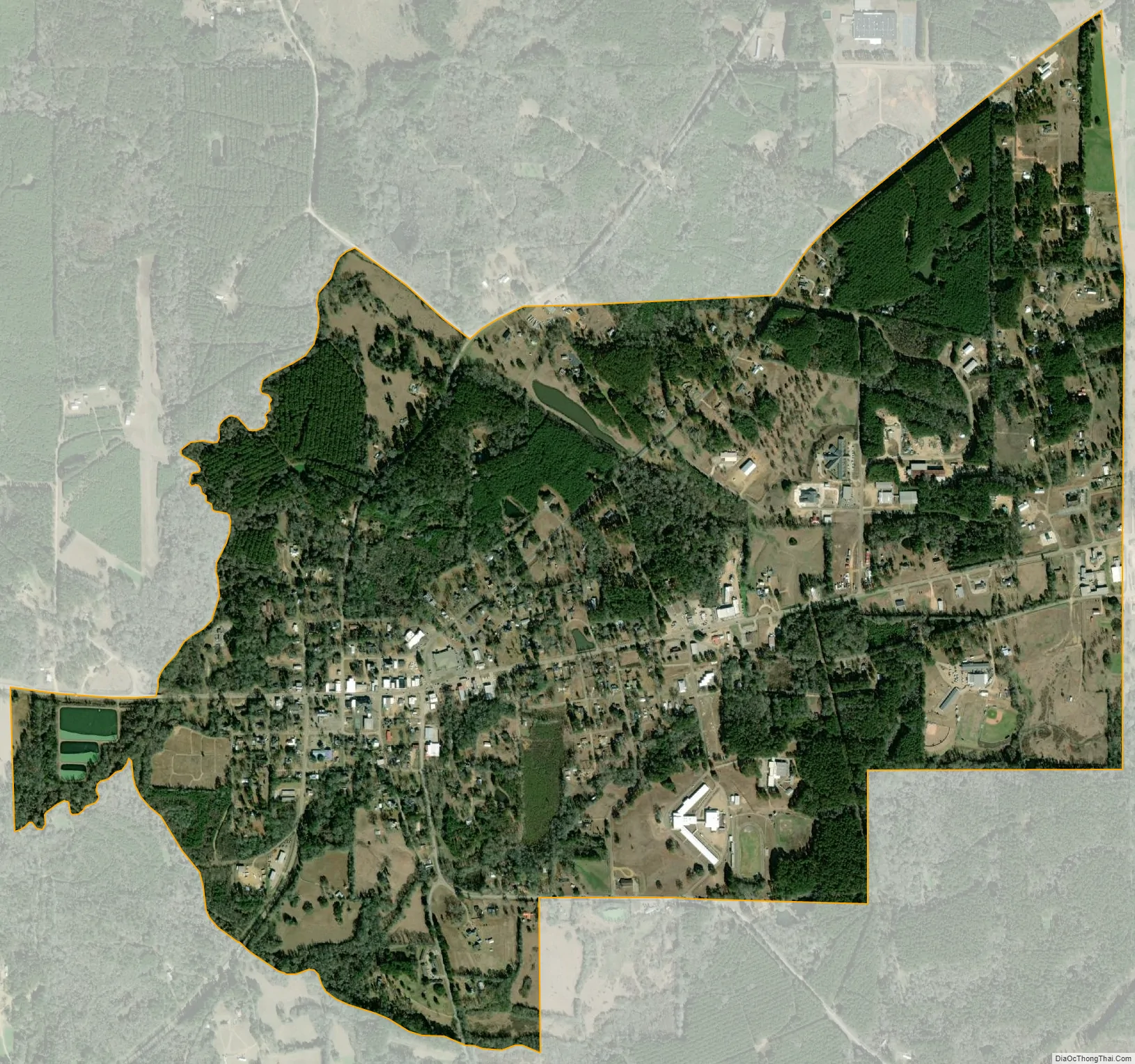
Liberty city Satellite Map
Geography
According to the United States Census Bureau, the town covers an area of 2.0 square miles (5.3 km), of which 0.00077 square miles (0.002 km), or 0.03%, is water.
See also
Map of Mississippi State and its subdivision:- Adams
- Alcorn
- Amite
- Attala
- Benton
- Bolivar
- Calhoun
- Carroll
- Chickasaw
- Choctaw
- Claiborne
- Clarke
- Clay
- Coahoma
- Copiah
- Covington
- Desoto
- Forrest
- Franklin
- George
- Greene
- Grenada
- Hancock
- Harrison
- Hinds
- Holmes
- Humphreys
- Issaquena
- Itawamba
- Jackson
- Jasper
- Jefferson
- Jefferson Davis
- Jones
- Kemper
- Lafayette
- Lamar
- Lauderdale
- Lawrence
- Leake
- Lee
- Leflore
- Lincoln
- Lowndes
- Madison
- Marion
- Marshall
- Monroe
- Montgomery
- Neshoba
- Newton
- Noxubee
- Oktibbeha
- Panola
- Pearl River
- Perry
- Pike
- Pontotoc
- Prentiss
- Quitman
- Rankin
- Scott
- Sharkey
- Simpson
- Smith
- Stone
- Sunflower
- Tallahatchie
- Tate
- Tippah
- Tishomingo
- Tunica
- Union
- Walthall
- Warren
- Washington
- Wayne
- Webster
- Wilkinson
- Winston
- Yalobusha
- Yazoo
- Alabama
- Alaska
- Arizona
- Arkansas
- California
- Colorado
- Connecticut
- Delaware
- District of Columbia
- Florida
- Georgia
- Hawaii
- Idaho
- Illinois
- Indiana
- Iowa
- Kansas
- Kentucky
- Louisiana
- Maine
- Maryland
- Massachusetts
- Michigan
- Minnesota
- Mississippi
- Missouri
- Montana
- Nebraska
- Nevada
- New Hampshire
- New Jersey
- New Mexico
- New York
- North Carolina
- North Dakota
- Ohio
- Oklahoma
- Oregon
- Pennsylvania
- Rhode Island
- South Carolina
- South Dakota
- Tennessee
- Texas
- Utah
- Vermont
- Virginia
- Washington
- West Virginia
- Wisconsin
- Wyoming