Golden is a town in Tishomingo County, Mississippi, United States. The population was 191 at the 2010 census. The village’s current mayor is Davy Ginn.
| Name: | Golden town |
|---|---|
| LSAD Code: | 43 |
| LSAD Description: | town (suffix) |
| State: | Mississippi |
| County: | Tishomingo County |
| Elevation: | 554 ft (169 m) |
| Total Area: | 0.58 sq mi (1.50 km²) |
| Land Area: | 0.58 sq mi (1.50 km²) |
| Water Area: | 0.00 sq mi (0.00 km²) |
| Total Population: | 192 |
| Population Density: | 331.03/sq mi (127.74/km²) |
| FIPS code: | 2827940 |
| GNISfeature ID: | 0670452 |
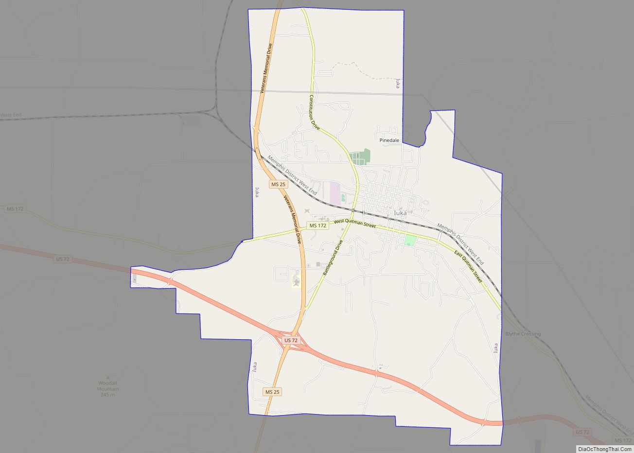
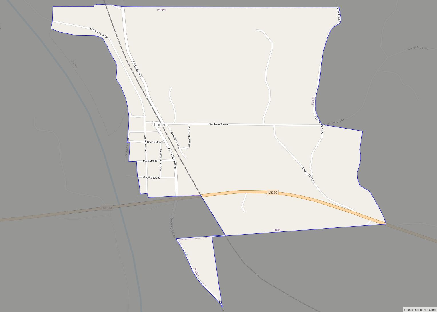
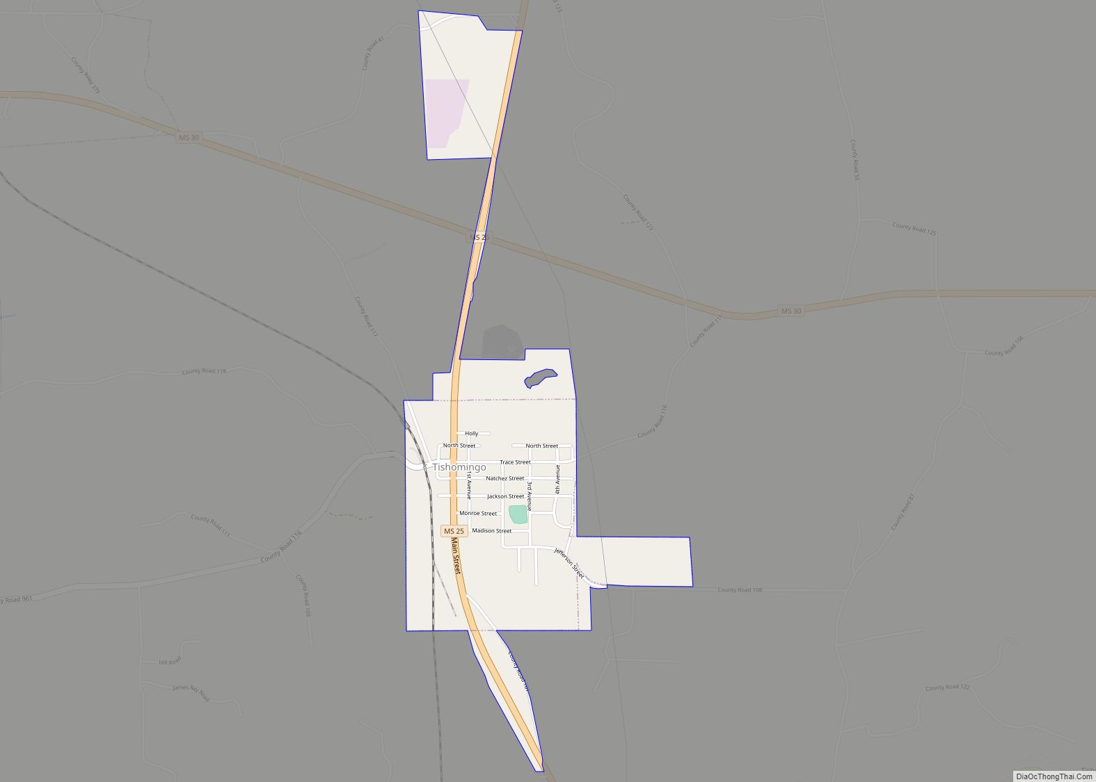
Online Interactive Map
Click on ![]() to view map in "full screen" mode.
to view map in "full screen" mode.
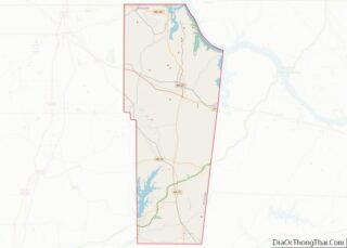
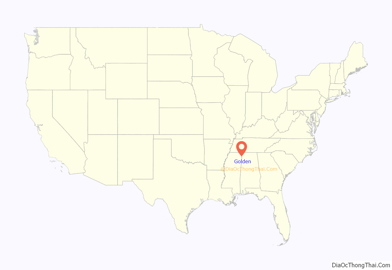
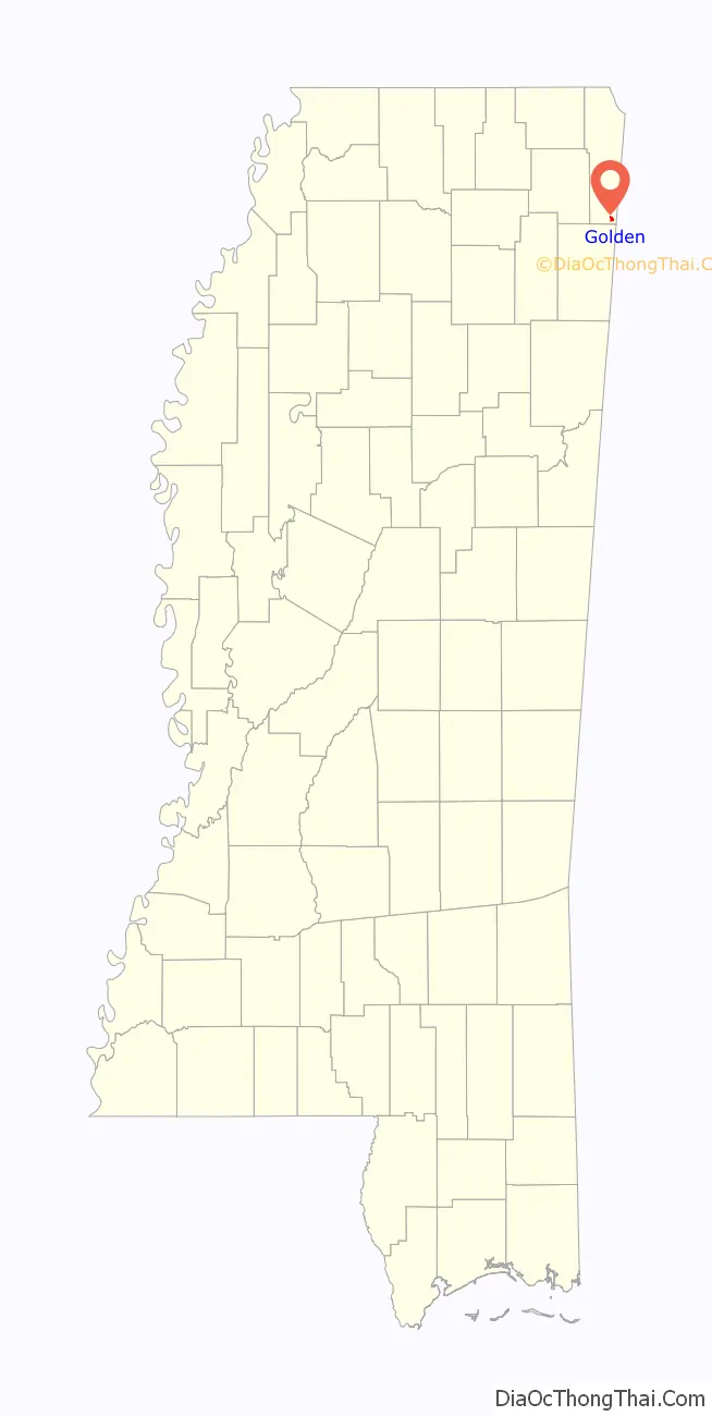
Golden location map. Where is Golden town?
History
The community of Golden originally sprang up around Golden Sawmill. Almost all of the inhabitants of Golden were employed by the sawmill, and its decline corresponded with a decline in the town’s prosperity. The building of the railroad in the early 1900s brought new life to the town and it was incorporated on February 8, 1908. The town was named for the baby of one of the area’s early settlers, Golden Patrie Wiggins.
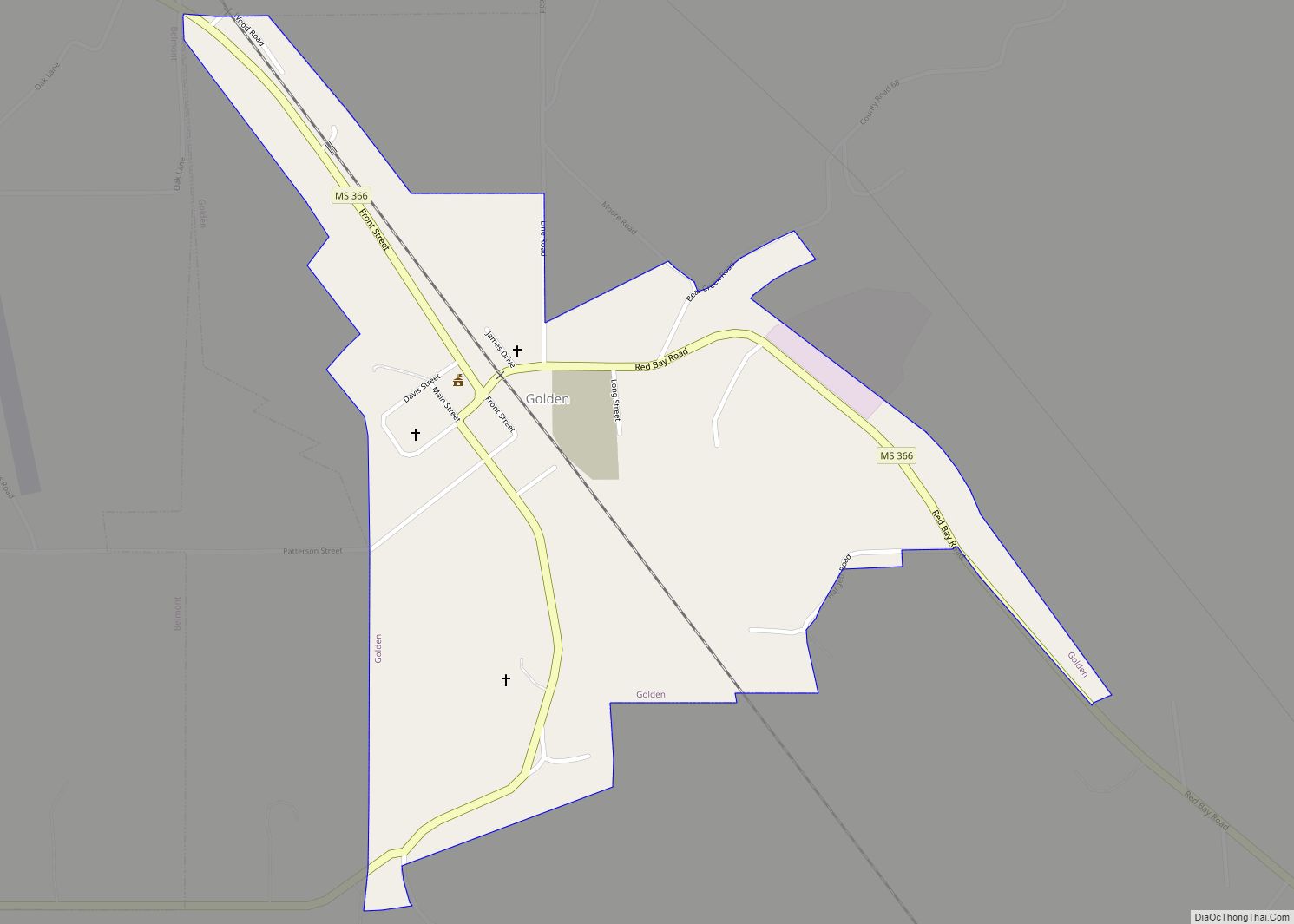
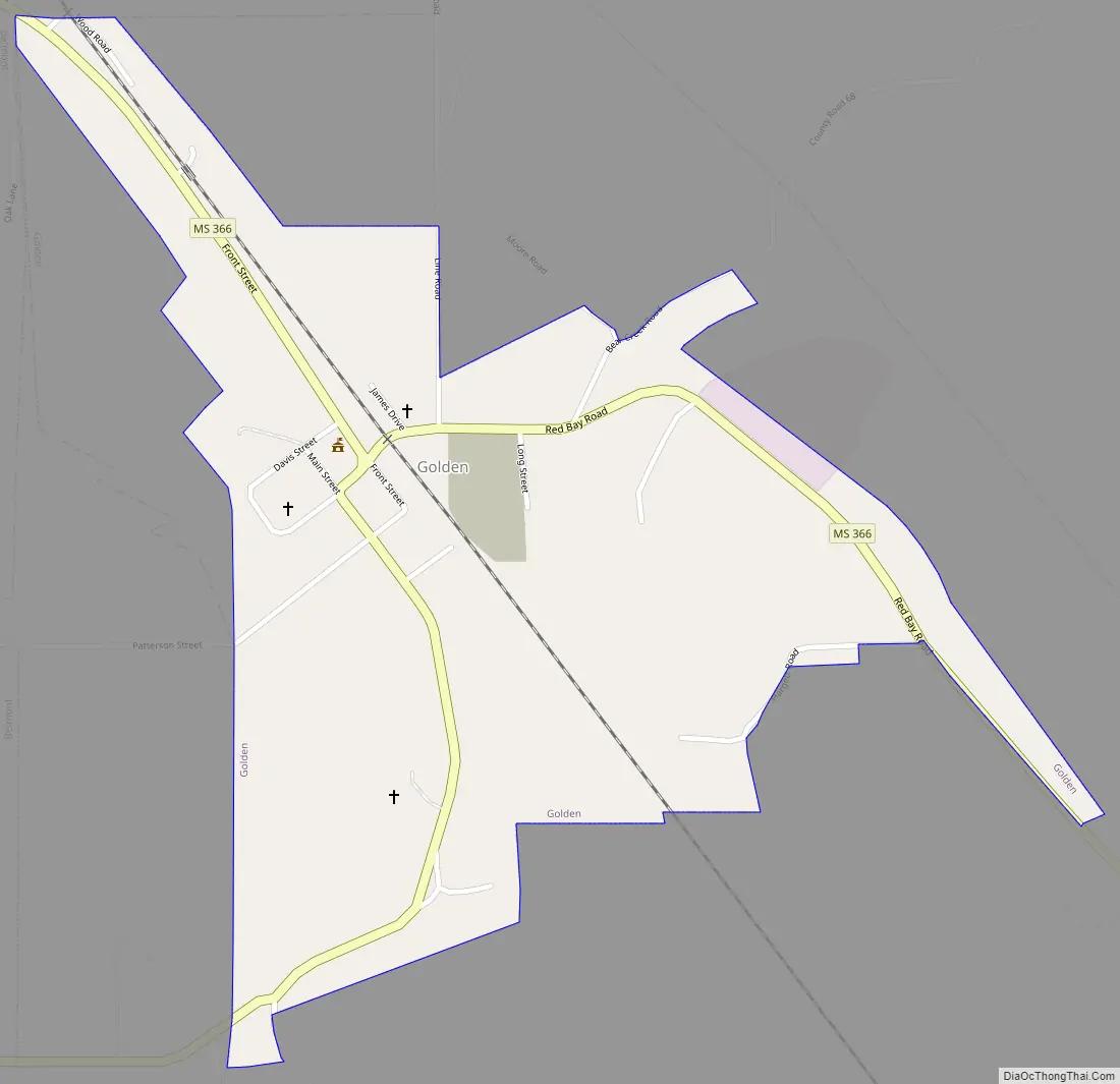
Golden Road Map
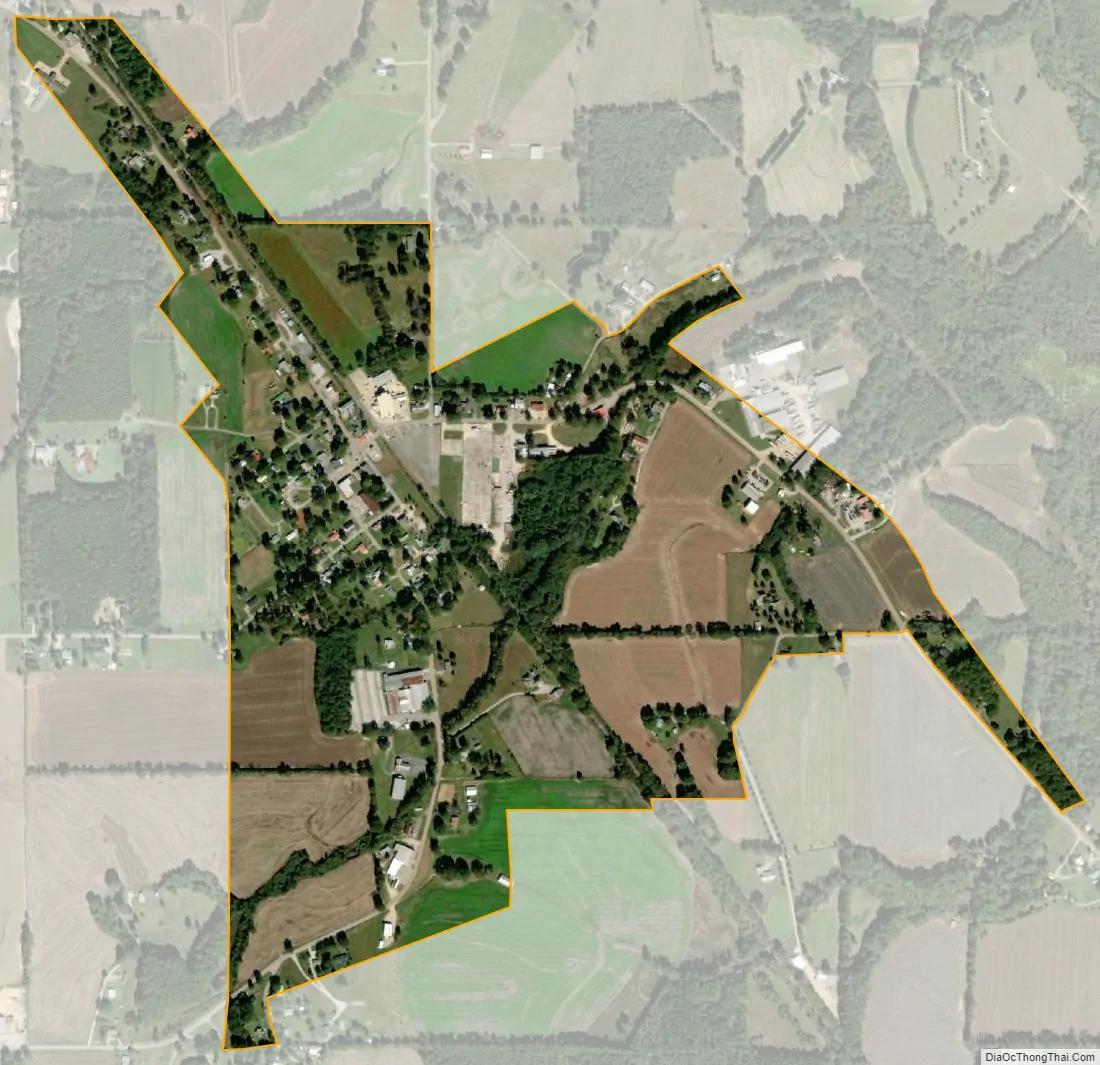
Golden city Satellite Map
Geography
Golden is located at 34°29′14″N 88°11′15″W / 34.48722°N 88.18750°W / 34.48722; -88.18750 (34.487217, -88.187427). The town is concentrated along Mississippi Highway 366 in southern Tishomingo County. It lies just southeast of Belmont, and a few miles west of the Mississippi-Alabama border. In Golden, MS 366 runs in a southeastward direction from Belmont before bending sharply to the northeast near the center of town, and then veering southeastward again en route to Red Bay, Alabama, where it becomes 4th Street.
According to the United States Census Bureau, the town has a total area of 0.6 square miles (1.6 km), all land.
Communities near Golden
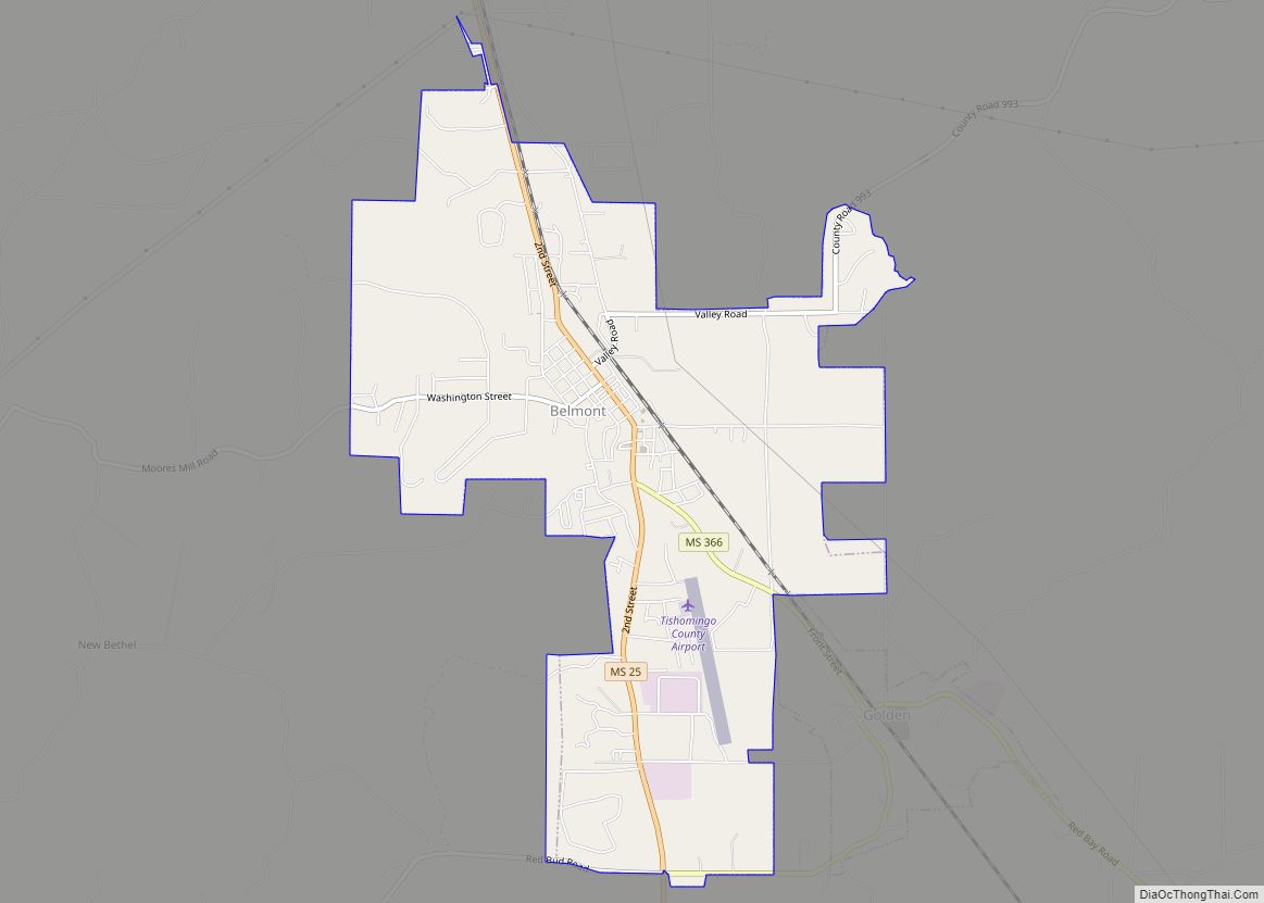
- Belmont – 2.29 miles (3.69 km)
- Red Bay, Alabama – 3.92 miles (6.31 km)
- Vina, Alabama – 10.29 miles (16.56 km)
Rivers and streams
- Bear Creek
- Epps Branch
- Wofford Branch
See also
Map of Mississippi State and its subdivision:- Adams
- Alcorn
- Amite
- Attala
- Benton
- Bolivar
- Calhoun
- Carroll
- Chickasaw
- Choctaw
- Claiborne
- Clarke
- Clay
- Coahoma
- Copiah
- Covington
- Desoto
- Forrest
- Franklin
- George
- Greene
- Grenada
- Hancock
- Harrison
- Hinds
- Holmes
- Humphreys
- Issaquena
- Itawamba
- Jackson
- Jasper
- Jefferson
- Jefferson Davis
- Jones
- Kemper
- Lafayette
- Lamar
- Lauderdale
- Lawrence
- Leake
- Lee
- Leflore
- Lincoln
- Lowndes
- Madison
- Marion
- Marshall
- Monroe
- Montgomery
- Neshoba
- Newton
- Noxubee
- Oktibbeha
- Panola
- Pearl River
- Perry
- Pike
- Pontotoc
- Prentiss
- Quitman
- Rankin
- Scott
- Sharkey
- Simpson
- Smith
- Stone
- Sunflower
- Tallahatchie
- Tate
- Tippah
- Tishomingo
- Tunica
- Union
- Walthall
- Warren
- Washington
- Wayne
- Webster
- Wilkinson
- Winston
- Yalobusha
- Yazoo
- Alabama
- Alaska
- Arizona
- Arkansas
- California
- Colorado
- Connecticut
- Delaware
- District of Columbia
- Florida
- Georgia
- Hawaii
- Idaho
- Illinois
- Indiana
- Iowa
- Kansas
- Kentucky
- Louisiana
- Maine
- Maryland
- Massachusetts
- Michigan
- Minnesota
- Mississippi
- Missouri
- Montana
- Nebraska
- Nevada
- New Hampshire
- New Jersey
- New Mexico
- New York
- North Carolina
- North Dakota
- Ohio
- Oklahoma
- Oregon
- Pennsylvania
- Rhode Island
- South Carolina
- South Dakota
- Tennessee
- Texas
- Utah
- Vermont
- Virginia
- Washington
- West Virginia
- Wisconsin
- Wyoming