Toccopola is a town in Pontotoc County, Mississippi, United States. The population was 246 at the 2010 census.
The town took its name from an old Indian village which once stood in the area; its name in turn is derived from the Chickasaw language purported to mean “dismal prairie”.
| Name: | Toccopola town |
|---|---|
| LSAD Code: | 43 |
| LSAD Description: | town (suffix) |
| State: | Mississippi |
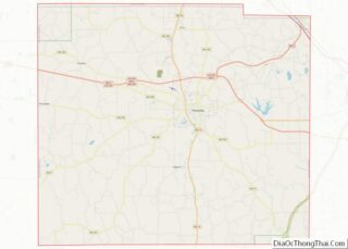
| County: | Pontotoc County |
| Elevation: | 400 ft (122 m) |
| Total Area: | 8.65 sq mi (22.40 km²) |
| Land Area: | 8.45 sq mi (21.89 km²) |
| Water Area: | 0.20 sq mi (0.51 km²) |
| Total Population: | 286 |
| Population Density: | 33.84/sq mi (13.07/km²) |
| Area code: | 662 |
| FIPS code: | 2873760 |
| GNISfeature ID: | 694986 |
Online Interactive Map
Click on ![]() to view map in "full screen" mode.
to view map in "full screen" mode.
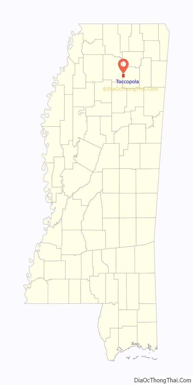
Toccopola location map. Where is Toccopola town?

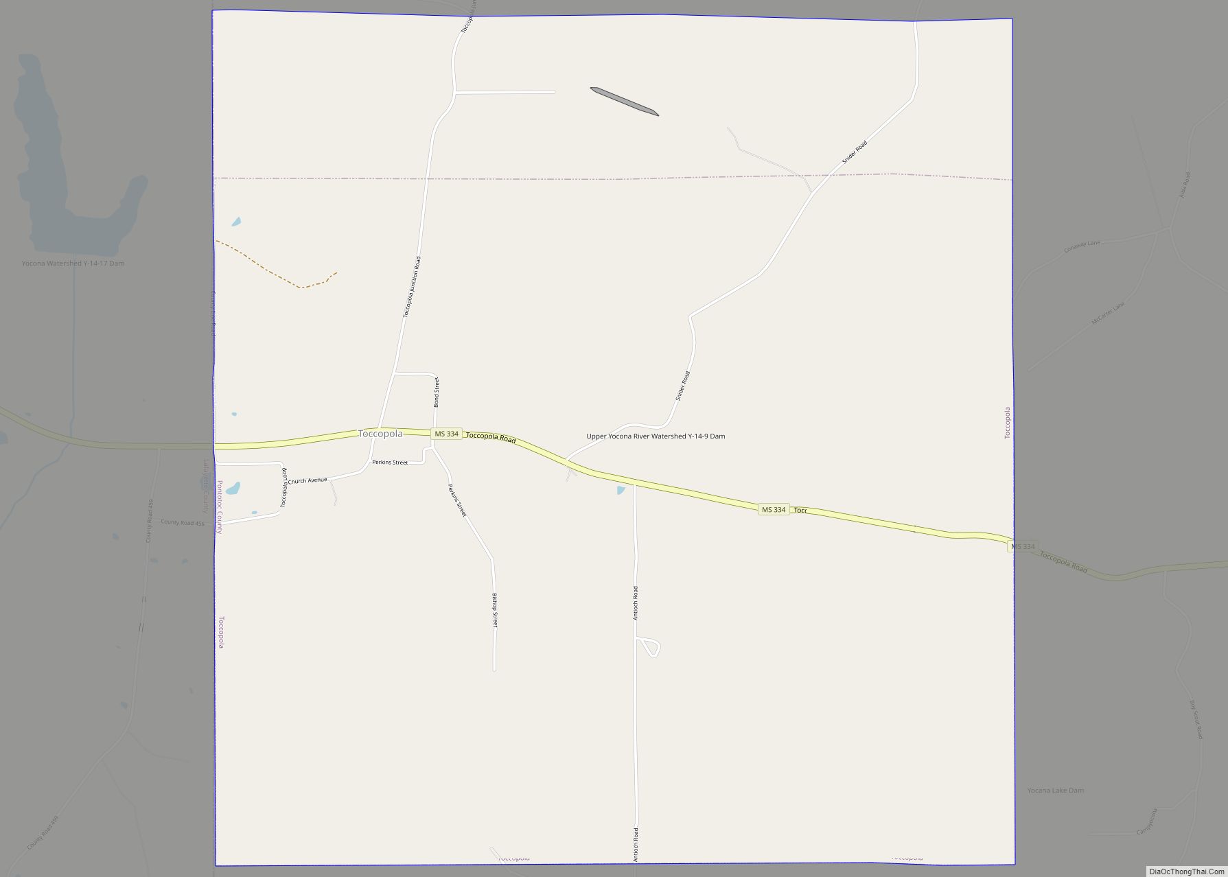
Toccopola Road Map
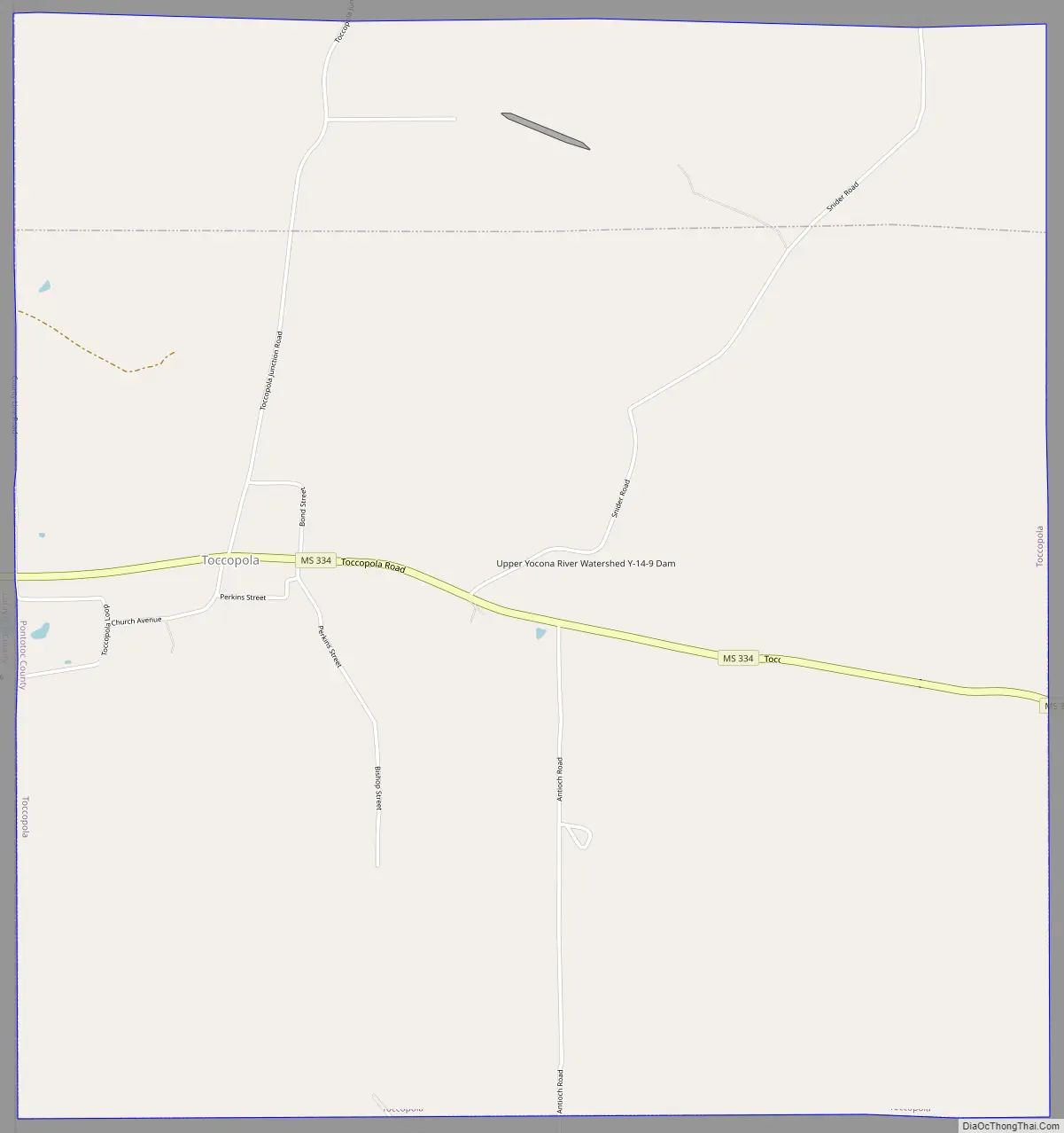
Toccopola city Satellite Map
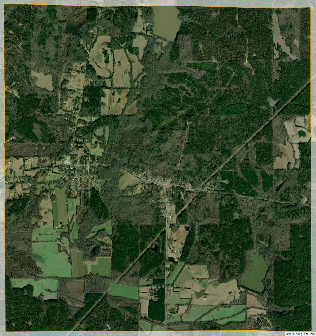
Geography
Toccopola is located at 34°15′21″N 89°14′4″W / 34.25583°N 89.23444°W / 34.25583; -89.23444 (34.255775, -89.234471).
According to the United States Census Bureau, the town has a total area of 1.5 square miles (3.9 km), all land. Mississippi Highway 334 passes directly through Toccopola, connecting it with Oxford to the west, and Pontotoc to the east.
See also
Map of Mississippi State and its subdivision:- Adams
- Alcorn
- Amite
- Attala
- Benton
- Bolivar
- Calhoun
- Carroll
- Chickasaw
- Choctaw
- Claiborne
- Clarke
- Clay
- Coahoma
- Copiah
- Covington
- Desoto
- Forrest
- Franklin
- George
- Greene
- Grenada
- Hancock
- Harrison
- Hinds
- Holmes
- Humphreys
- Issaquena
- Itawamba
- Jackson
- Jasper
- Jefferson
- Jefferson Davis
- Jones
- Kemper
- Lafayette
- Lamar
- Lauderdale
- Lawrence
- Leake
- Lee
- Leflore
- Lincoln
- Lowndes
- Madison
- Marion
- Marshall
- Monroe
- Montgomery
- Neshoba
- Newton
- Noxubee
- Oktibbeha
- Panola
- Pearl River
- Perry
- Pike
- Pontotoc
- Prentiss
- Quitman
- Rankin
- Scott
- Sharkey
- Simpson
- Smith
- Stone
- Sunflower
- Tallahatchie
- Tate
- Tippah
- Tishomingo
- Tunica
- Union
- Walthall
- Warren
- Washington
- Wayne
- Webster
- Wilkinson
- Winston
- Yalobusha
- Yazoo
- Alabama
- Alaska
- Arizona
- Arkansas
- California
- Colorado
- Connecticut
- Delaware
- District of Columbia
- Florida
- Georgia
- Hawaii
- Idaho
- Illinois
- Indiana
- Iowa
- Kansas
- Kentucky
- Louisiana
- Maine
- Maryland
- Massachusetts
- Michigan
- Minnesota
- Mississippi
- Missouri
- Montana
- Nebraska
- Nevada
- New Hampshire
- New Jersey
- New Mexico
- New York
- North Carolina
- North Dakota
- Ohio
- Oklahoma
- Oregon
- Pennsylvania
- Rhode Island
- South Carolina
- South Dakota
- Tennessee
- Texas
- Utah
- Vermont
- Virginia
- Washington
- West Virginia
- Wisconsin
- Wyoming