Roxie is a town in Franklin County, Mississippi, United States. The population was 497 at the 2010 census, down from 569 at the 2000 census. This rural town developed with the construction of railroads in the area.
| Name: | Roxie town |
|---|---|
| LSAD Code: | 43 |
| LSAD Description: | town (suffix) |
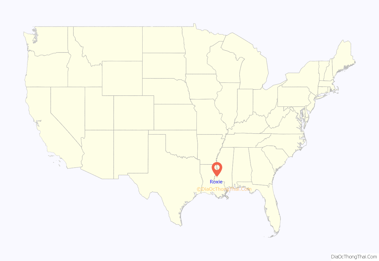
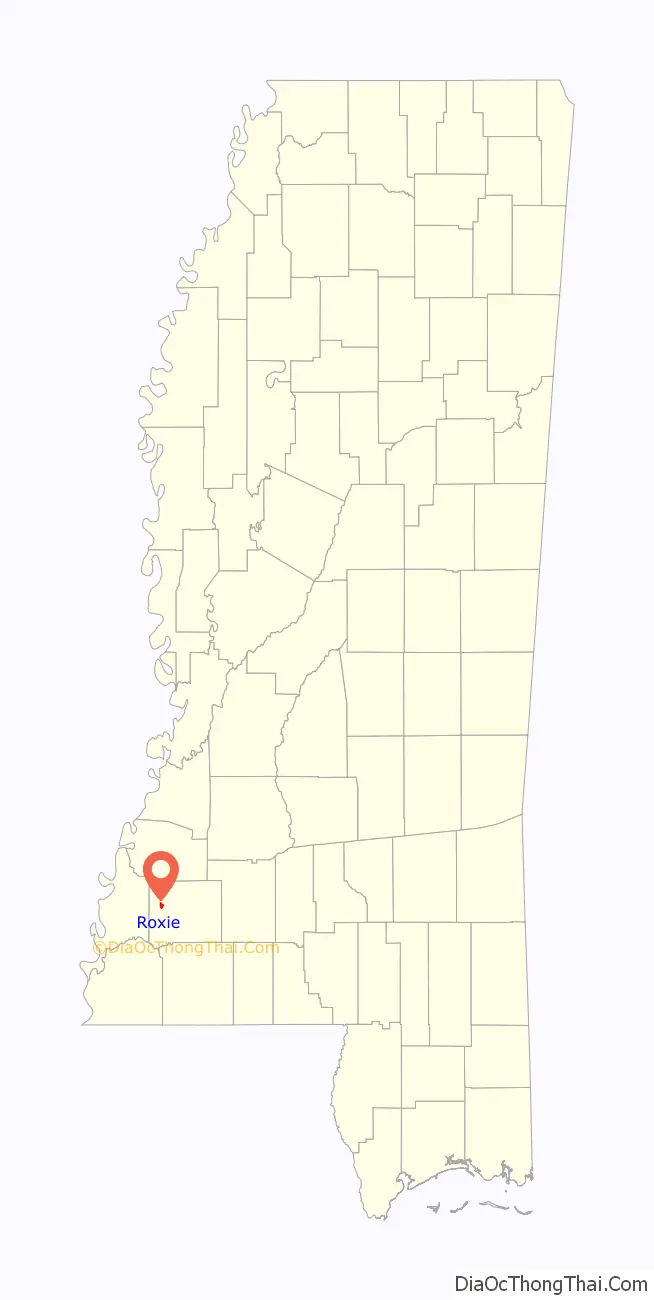
| State: | Mississippi |
| County: | Franklin County |
| Elevation: | 240 ft (73 m) |
| Total Area: | 1.76 sq mi (4.55 km²) |
| Land Area: | 1.76 sq mi (4.55 km²) |
| Water Area: | 0.00 sq mi (0.00 km²) |
| Total Population: | 469 |
| Population Density: | 266.93/sq mi (103.04/km²) |
| ZIP code: | 39661 |
| Area code: | 601 |
| FIPS code: | 2864080 |
| GNISfeature ID: | 0694621 |
Online Interactive Map
Click on ![]() to view map in "full screen" mode.
to view map in "full screen" mode.
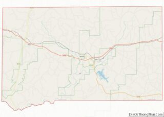
Roxie location map. Where is Roxie town?
History
Roxie was founded in 1886 on a plot of farmland donated by John Quincy Adams Graves, who was the County Supervisor and a former soldier in the Regimental Band of the 4th Volunteer Mississippi Regiment during the Civil War. The town was named in honor of Graves’ newborn daughter.
Roxie was incorporated in 1890.
The town was located at the crossroads of the Louisville, New Orleans and Texas Railway and the Yazoo and Mississippi Valley Railroad. Most of the early residents were employed by the railroads or worked in the logging industry and sawmills.
Roxie’s children attended the Roxie School, whose motto was Home of the Tigers. In 1962, the high school portion of the school shut down, and all students from grades 9 to 12 were bussed to the new Franklin High School in Meadville. Roxie School continued for a few years after as an elementary school.
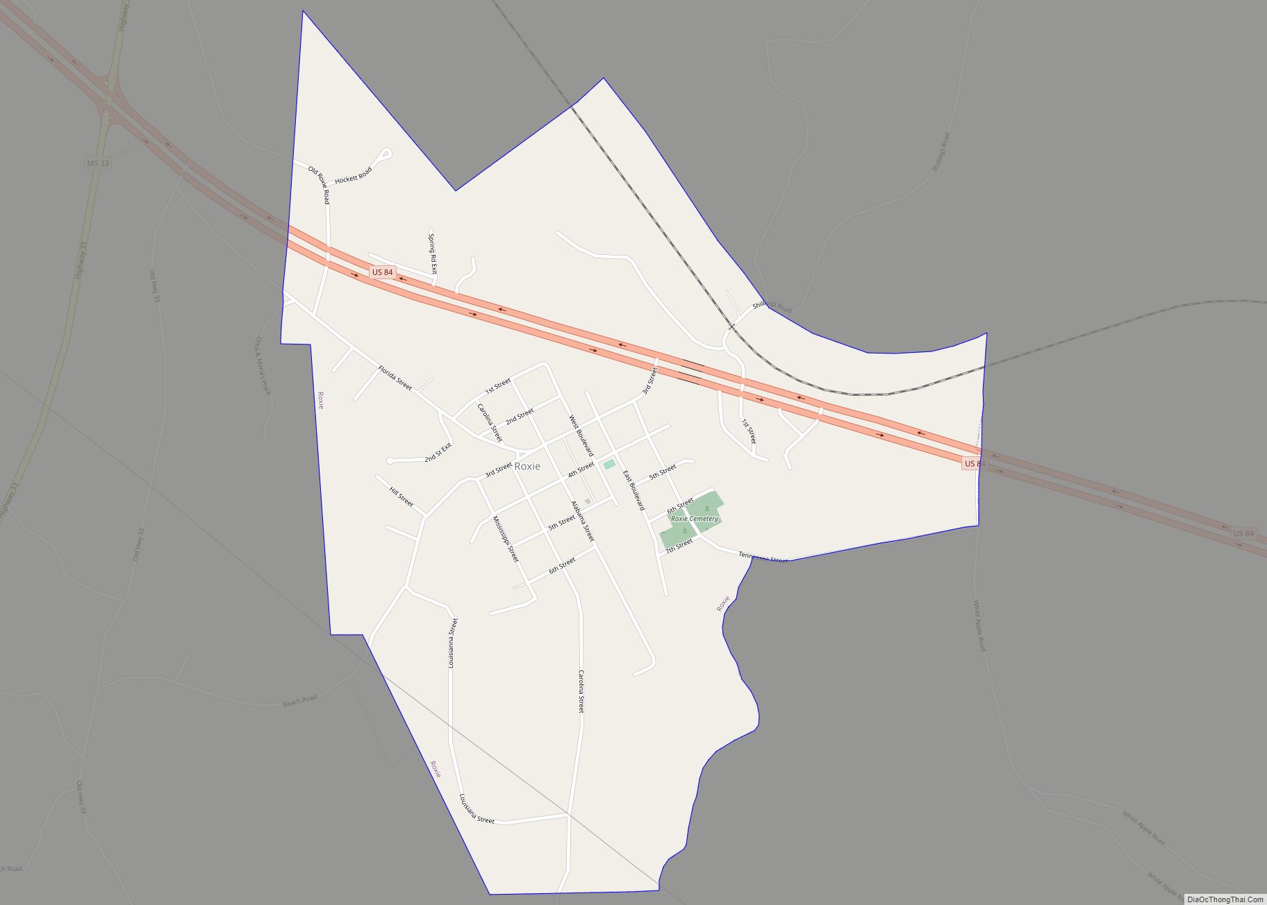
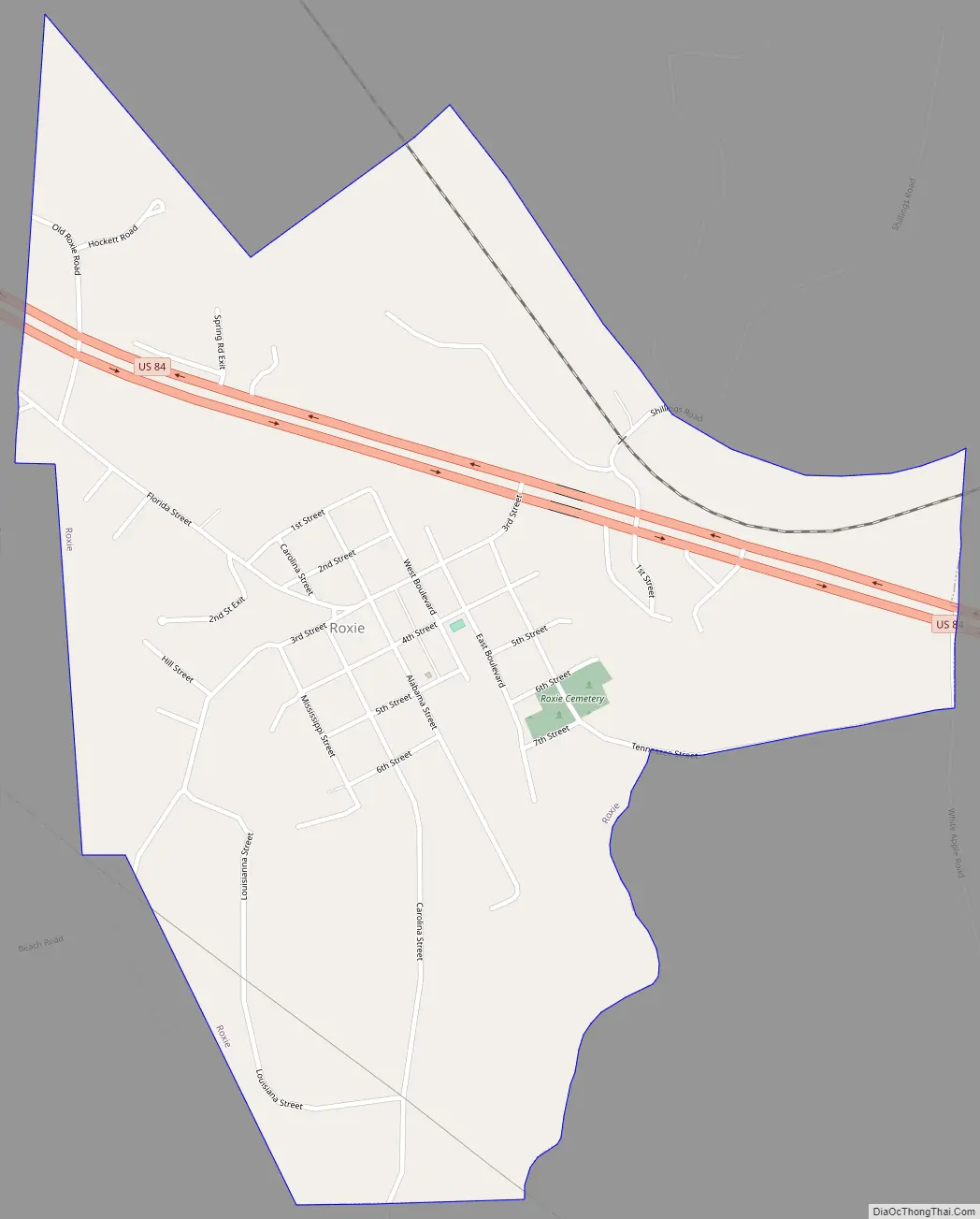
Roxie Road Map
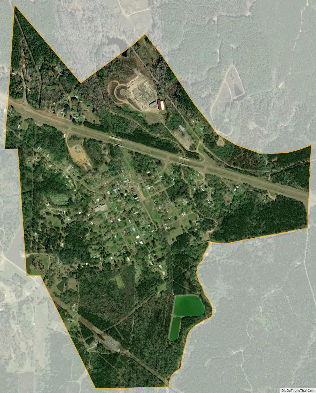
Roxie city Satellite Map
Geography
Roxie is located in western Franklin County. U.S. Routes 84 and 98 pass through the town, leading east 11 miles (18 km) to Meadville, the county seat, and west 22 miles (35 km) to Natchez.
According to the United States Census Bureau, Roxie has a total area of 1.1 square miles (2.9 km), all land.
See also
Map of Mississippi State and its subdivision:- Adams
- Alcorn
- Amite
- Attala
- Benton
- Bolivar
- Calhoun
- Carroll
- Chickasaw
- Choctaw
- Claiborne
- Clarke
- Clay
- Coahoma
- Copiah
- Covington
- Desoto
- Forrest
- Franklin
- George
- Greene
- Grenada
- Hancock
- Harrison
- Hinds
- Holmes
- Humphreys
- Issaquena
- Itawamba
- Jackson
- Jasper
- Jefferson
- Jefferson Davis
- Jones
- Kemper
- Lafayette
- Lamar
- Lauderdale
- Lawrence
- Leake
- Lee
- Leflore
- Lincoln
- Lowndes
- Madison
- Marion
- Marshall
- Monroe
- Montgomery
- Neshoba
- Newton
- Noxubee
- Oktibbeha
- Panola
- Pearl River
- Perry
- Pike
- Pontotoc
- Prentiss
- Quitman
- Rankin
- Scott
- Sharkey
- Simpson
- Smith
- Stone
- Sunflower
- Tallahatchie
- Tate
- Tippah
- Tishomingo
- Tunica
- Union
- Walthall
- Warren
- Washington
- Wayne
- Webster
- Wilkinson
- Winston
- Yalobusha
- Yazoo
- Alabama
- Alaska
- Arizona
- Arkansas
- California
- Colorado
- Connecticut
- Delaware
- District of Columbia
- Florida
- Georgia
- Hawaii
- Idaho
- Illinois
- Indiana
- Iowa
- Kansas
- Kentucky
- Louisiana
- Maine
- Maryland
- Massachusetts
- Michigan
- Minnesota
- Mississippi
- Missouri
- Montana
- Nebraska
- Nevada
- New Hampshire
- New Jersey
- New Mexico
- New York
- North Carolina
- North Dakota
- Ohio
- Oklahoma
- Oregon
- Pennsylvania
- Rhode Island
- South Carolina
- South Dakota
- Tennessee
- Texas
- Utah
- Vermont
- Virginia
- Washington
- West Virginia
- Wisconsin
- Wyoming