Bude is a town in Franklin County, Mississippi, United States. The population was 1,063 at the 2010 census. Bude is located on the north bank of the Homochitto River, which bisects the county on a diagonal running from northeast to southwest, where it flows on its way to the Mississippi River. U.S. Routes 98 and 84 run by Bude.
American Railcar Industries operates a large maintenance shop in Bude.
Bude appeared in a March 2017 segment of 60 Minutes because its chess team won the state championship.
| Name: | Bude town |
|---|---|
| LSAD Code: | 43 |
| LSAD Description: | town (suffix) |
| State: | Mississippi |
| County: | Franklin County |
| Elevation: | 240 ft (73 m) |
| Total Area: | 1.43 sq mi (3.70 km²) |
| Land Area: | 1.43 sq mi (3.69 km²) |
| Water Area: | 0.01 sq mi (0.01 km²) |
| Total Population: | 780 |
| Population Density: | 547.37/sq mi (211.33/km²) |
| ZIP code: | 39630 |
| Area code: | 601 |
| FIPS code: | 2809460 |
| GNISfeature ID: | 0692752 |
Online Interactive Map
Click on ![]() to view map in "full screen" mode.
to view map in "full screen" mode.
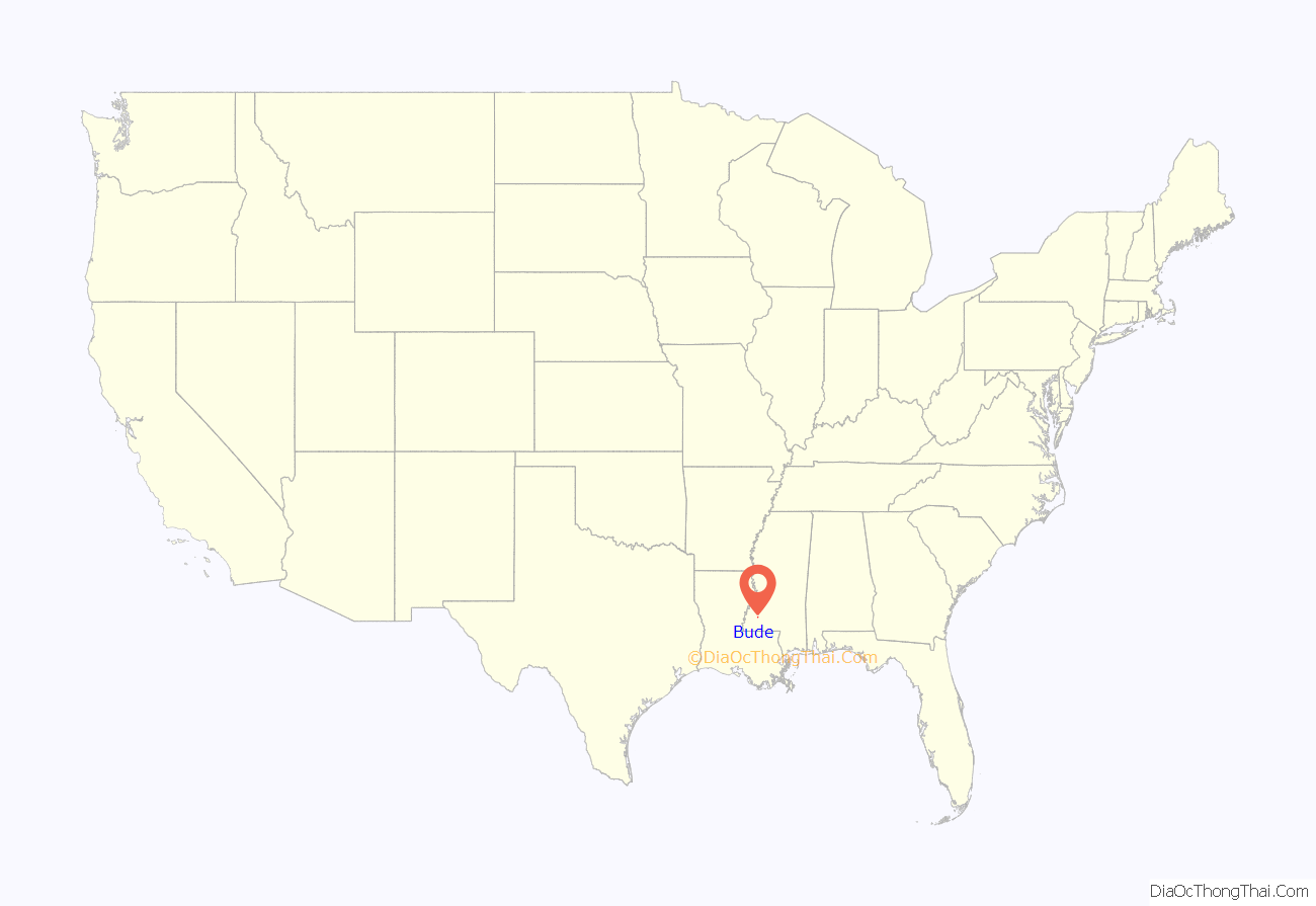
Bude location map. Where is Bude town?
History
Bude was founded by European Americans in 1912 and named for the former home in England of Mrs. F.L. Peck, whose husband was one of the town’s founders.
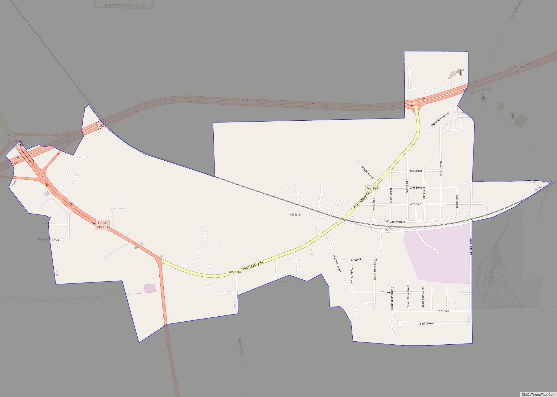
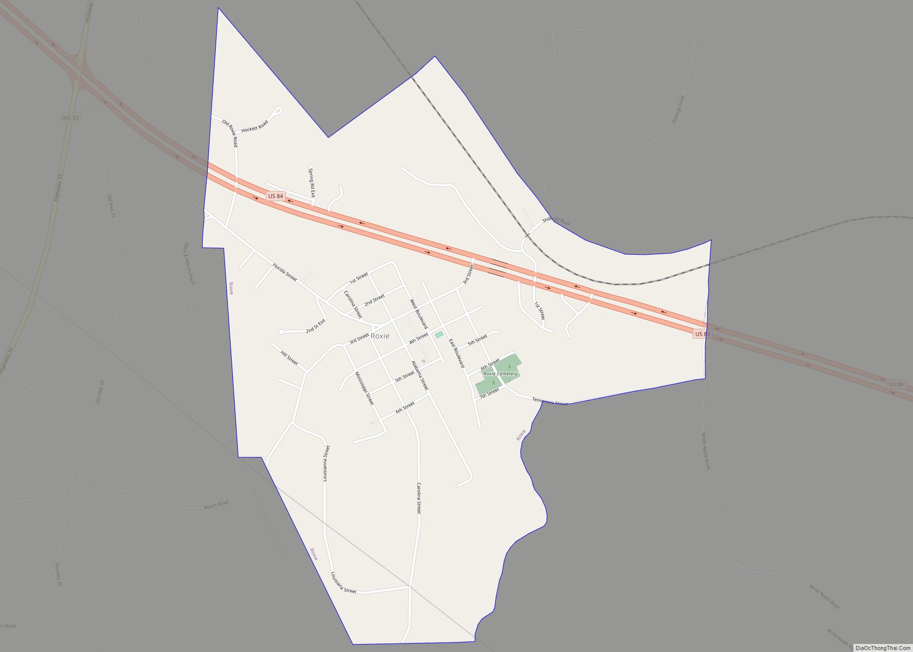
Bude Road Map
Bude city Satellite Map
Geography
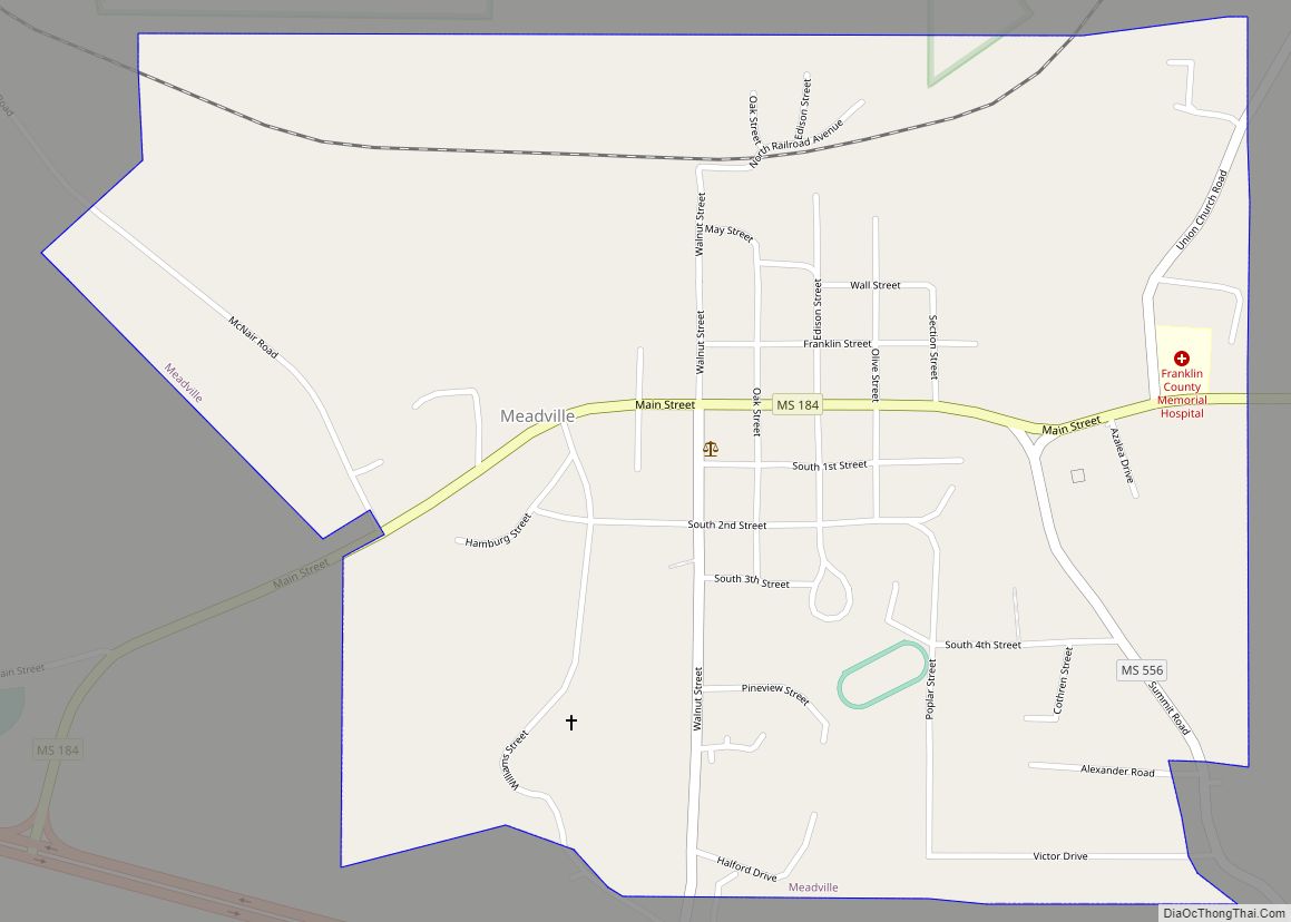
Bude is located in central Franklin County. It is 3 miles (5 km) east of Meadville, the county seat. US 84 leads east 28 miles (45 km) to Brookhaven, and US 98 leads southeast 35 miles (56 km) to McComb. The two highways together lead west 36 miles (58 km) to Natchez.
According to the United States Census Bureau, the town of Bude has a total area of 1.4 square miles (3.7 km), of which 0.004 square miles (0.01 km), or 0.33%, is water.
As the town is in the center of southwest Mississippi, there is a Mississippi Public Broadcasting radio and TV antenna located in the town.
See also
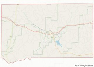
Map of Mississippi State and its subdivision:- Adams
- Alcorn
- Amite
- Attala
- Benton
- Bolivar
- Calhoun
- Carroll
- Chickasaw
- Choctaw
- Claiborne
- Clarke
- Clay
- Coahoma
- Copiah
- Covington
- Desoto
- Forrest
- Franklin
- George
- Greene
- Grenada
- Hancock
- Harrison
- Hinds
- Holmes
- Humphreys
- Issaquena
- Itawamba
- Jackson
- Jasper
- Jefferson
- Jefferson Davis
- Jones
- Kemper
- Lafayette
- Lamar
- Lauderdale
- Lawrence
- Leake
- Lee
- Leflore
- Lincoln
- Lowndes
- Madison
- Marion
- Marshall
- Monroe
- Montgomery
- Neshoba
- Newton
- Noxubee
- Oktibbeha
- Panola
- Pearl River
- Perry
- Pike
- Pontotoc
- Prentiss
- Quitman
- Rankin
- Scott
- Sharkey
- Simpson
- Smith
- Stone
- Sunflower
- Tallahatchie
- Tate
- Tippah
- Tishomingo
- Tunica
- Union
- Walthall
- Warren
- Washington
- Wayne
- Webster
- Wilkinson
- Winston
- Yalobusha
- Yazoo
- Alabama
- Alaska
- Arizona
- Arkansas
- California
- Colorado
- Connecticut
- Delaware
- District of Columbia
- Florida
- Georgia
- Hawaii
- Idaho
- Illinois
- Indiana
- Iowa
- Kansas
- Kentucky
- Louisiana
- Maine
- Maryland
- Massachusetts
- Michigan
- Minnesota
- Mississippi
- Missouri
- Montana
- Nebraska
- Nevada
- New Hampshire
- New Jersey
- New Mexico
- New York
- North Carolina
- North Dakota
- Ohio
- Oklahoma
- Oregon
- Pennsylvania
- Rhode Island
- South Carolina
- South Dakota
- Tennessee
- Texas
- Utah
- Vermont
- Virginia
- Washington
- West Virginia
- Wisconsin
- Wyoming
