Sherman is a town which straddles Lee, Pontotoc, and Union counties in Mississippi. The population was 600 at the 2020 census.
| Name: | Sherman town |
|---|---|
| LSAD Code: | 43 |
| LSAD Description: | town (suffix) |
| State: | Mississippi |
| County: | Lee County, Pontotoc County, Union County |
| Elevation: | 364 ft (111 m) |
| Total Area: | 1.74 sq mi (4.51 km²) |
| Land Area: | 1.74 sq mi (4.51 km²) |
| Water Area: | 0.00 sq mi (0.00 km²) |
| Total Population: | 600 |
| Population Density: | 344.63/sq mi (133.04/km²) |
| ZIP code: | 38869 |
| Area code: | 662 |
| FIPS code: | 2867200 |
| GNISfeature ID: | 0677651 |
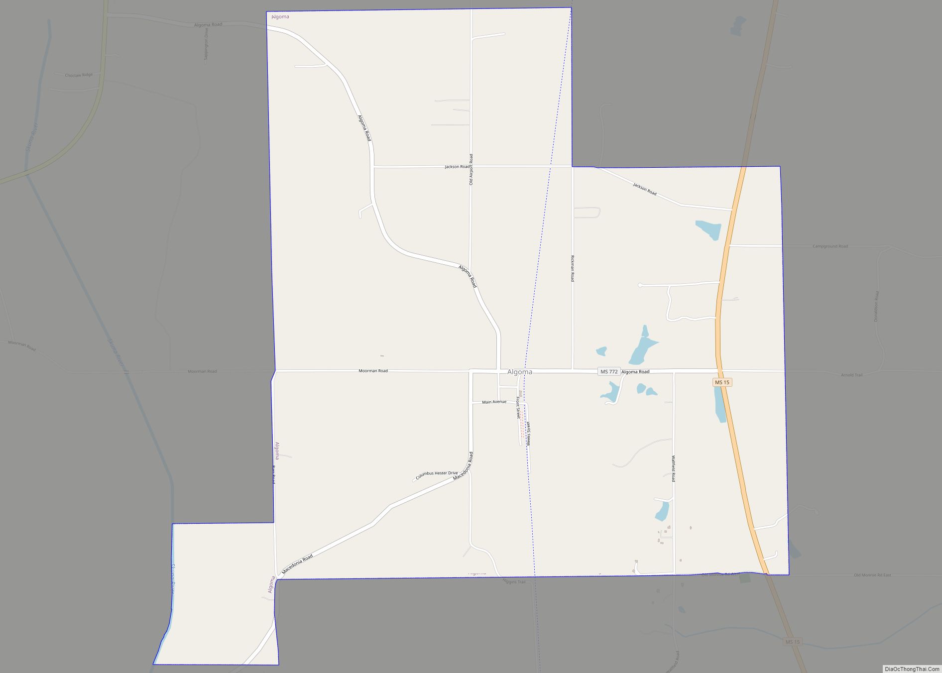
Online Interactive Map
Click on ![]() to view map in "full screen" mode.
to view map in "full screen" mode.
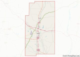
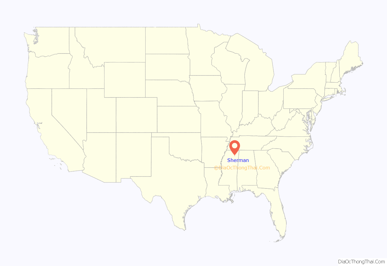
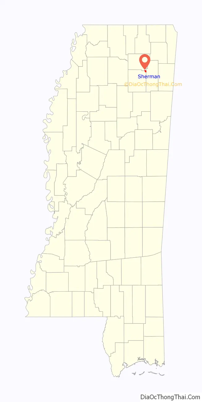
Sherman location map. Where is Sherman town?
History
In 1840 Reuben Jones and John Witt settled what is now the Sherman community fourteen miles northeast of Pontotoc, however the town owes its formation and growth to the building of the old Kansas City, Memphis and Birmingham Railroad. When the operation of trains was begun on the newly built railroad in 1886 a station was established and named Sherman by a resident who had formerly lived in Sherman, Texas. R.P. Kelly built the first home in the spring of 1886. Other citizens and businessmen of the town were John Witt, J.E. Wade, and John Johnson.
The Mississippi Normal Institute was founded in 1889 by Professor J.N. Davis and a boarding house was maintained in connection with the institute. The institute flourished for several years with an enrollment of 300 but with the development of the public school system its patronage dwindled and about 1903 it was consolidated with the public school at Sherman.
The following excerpt from the Pontotoc Democrat of September 19, 1890 describes the town: “Ninety-four miles from Memphis, 158 miles from Birmingham on the K C M & B Railroad is the thriving little town of Sherman. Her population has almost doubled in the last twelve months. She is surrounded by the best fanning lands in the State. She has 35 dwellings, 6 stores, 2 doctors, no graveyards, a ~40,000 school building and destined to be the Jupiter in the educational world.”
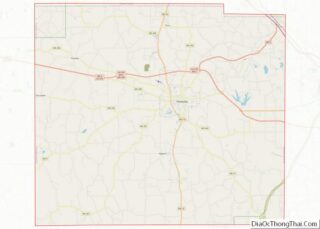
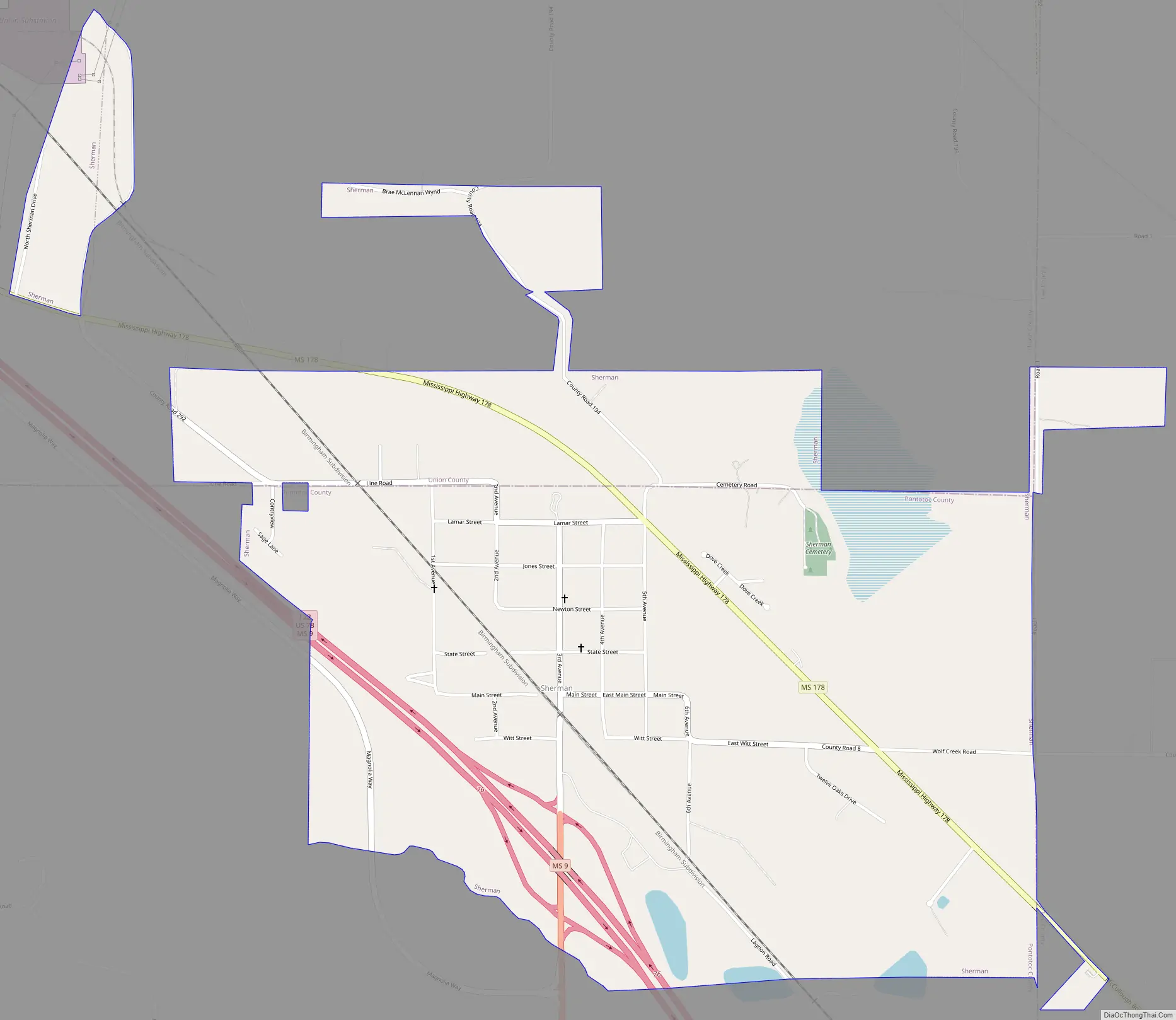
Sherman Road Map
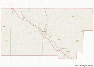
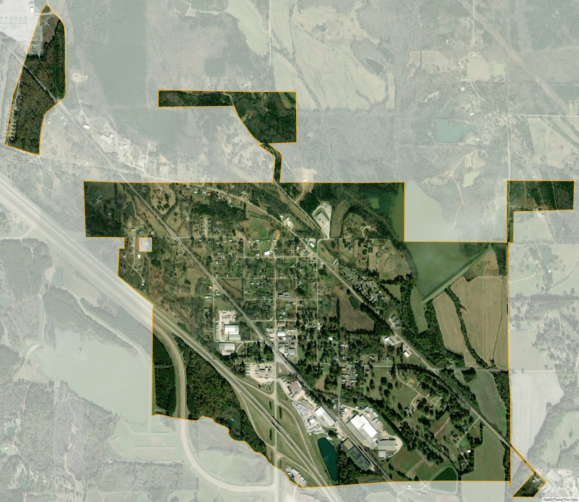
Sherman city Satellite Map
Geography
Sherman is located at 34°21′38″N 88°50′19″W / 34.36056°N 88.83861°W / 34.36056; -88.83861 (34.360659, -88.838734). The town lies northwest of Tupelo, and is concentrated in an area north of Interstate 22 and south of Mississippi Highway 178. Most of the town is in Pontotoc County with a portion extending north into Union County and a tiny portion extending east into Lee County. In the 2000 census, 425 of the town’s 548 residents (77.6%) lived in Pontotoc County, 122 (22.3%) in Union County, and 1 (0.2%) in Lee County. According to the United States Census Bureau, the town has a total area of 1.9 square miles (4.8 km), all land.
See also
Map of Mississippi State and its subdivision:- Adams
- Alcorn
- Amite
- Attala
- Benton
- Bolivar
- Calhoun
- Carroll
- Chickasaw
- Choctaw
- Claiborne
- Clarke
- Clay
- Coahoma
- Copiah
- Covington
- Desoto
- Forrest
- Franklin
- George
- Greene
- Grenada
- Hancock
- Harrison
- Hinds
- Holmes
- Humphreys
- Issaquena
- Itawamba
- Jackson
- Jasper
- Jefferson
- Jefferson Davis
- Jones
- Kemper
- Lafayette
- Lamar
- Lauderdale
- Lawrence
- Leake
- Lee
- Leflore
- Lincoln
- Lowndes
- Madison
- Marion
- Marshall
- Monroe
- Montgomery
- Neshoba
- Newton
- Noxubee
- Oktibbeha
- Panola
- Pearl River
- Perry
- Pike
- Pontotoc
- Prentiss
- Quitman
- Rankin
- Scott
- Sharkey
- Simpson
- Smith
- Stone
- Sunflower
- Tallahatchie
- Tate
- Tippah
- Tishomingo
- Tunica
- Union
- Walthall
- Warren
- Washington
- Wayne
- Webster
- Wilkinson
- Winston
- Yalobusha
- Yazoo
- Alabama
- Alaska
- Arizona
- Arkansas
- California
- Colorado
- Connecticut
- Delaware
- District of Columbia
- Florida
- Georgia
- Hawaii
- Idaho
- Illinois
- Indiana
- Iowa
- Kansas
- Kentucky
- Louisiana
- Maine
- Maryland
- Massachusetts
- Michigan
- Minnesota
- Mississippi
- Missouri
- Montana
- Nebraska
- Nevada
- New Hampshire
- New Jersey
- New Mexico
- New York
- North Carolina
- North Dakota
- Ohio
- Oklahoma
- Oregon
- Pennsylvania
- Rhode Island
- South Carolina
- South Dakota
- Tennessee
- Texas
- Utah
- Vermont
- Virginia
- Washington
- West Virginia
- Wisconsin
- Wyoming