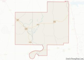
Sumner is a town in Tallahatchie County, Mississippi. The population was 407 at the 2000 census. Sumner is one of the two county seats of Tallahatchie County. It is located on the west side of the county and the Tallahatchie River, which runs through the county north-south. The other county seat is Charleston, located east of the river. Charleston was the first county seat, as settlement came from the east, and it is the larger of the two towns.
The Tallahatchie County Courthouse in Sumner was the site in 1955 of the trial of two men charged with the lynching murder in August of Emmett Till, a 14-year-old African-American boy from Chicago who was visiting his great-uncle in Money, Mississippi. The all-white jury acquitted the men; a few months later, they sold their story to Look magazine, and admitted killing Till.
The courthouse has been restored. It also houses the Emmett Till Interpretive Center, which opened in 2012 in his honor.
| Name: | Sumner town |
|---|---|
| LSAD Code: | 43 |
| LSAD Description: | town (suffix) |
| State: | Mississippi |
| County: | Tallahatchie County |
| Elevation: | 141 ft (43 m) |
| Total Area: | 0.55 sq mi (1.42 km²) |
| Land Area: | 0.55 sq mi (1.42 km²) |
| Water Area: | 0.00 sq mi (0.00 km²) |
| Total Population: | 278 |
| Population Density: | 505.45/sq mi (195.18/km²) |
| ZIP code: | 38957 |
| Area code: | 662 |
| FIPS code: | 2871520 |
| GNISfeature ID: | 0678403 |
Online Interactive Map
Click on ![]() to view map in "full screen" mode.
to view map in "full screen" mode.
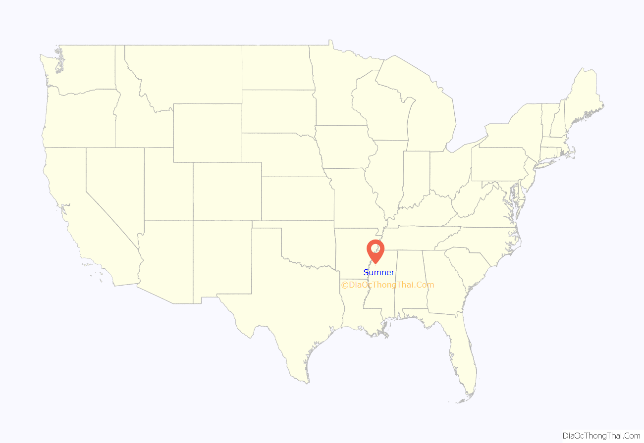
Sumner location map. Where is Sumner town?
History
The heavily wooded swamp along the Tallahatchie River was historically part of the Choctaw Nation, one of the Five Civilized Tribes of the Southeast. Ceding large amounts of territory to the United States, they were forced to remove to Indian Territory in the 1830s under the Indian Removal Act.
Afterward the US government sold the lands to European-American families. Among the early settlers were the Sumner family. The bottomland was covered by trees, vines, and underbrush when the pioneers started clearing the land for agriculture. The wealthiest men developed their property through the labor of enslaved African Americans. Their work on cotton plantations produced the commodity crop that was the basis of the economy for decades.
Sumner was not incorporated until 1900; it was named after its founder and first mayor, Joseph Burton Sumner. In 1902 the county was divided into two districts, on either side of the Tallahatchie River, which was a barrier to cross-county transportation. Charleston was the original county seat, located east of the river in the first area of European-American settlement. Sumner was designated as the seat of the western district.
The Tallahatchie County Courthouse in Sumner was built in 1902 on a lot donated by Joseph B. Sumner, who also donated the lot for the jail. The courthouse burned in 1908 and was rebuilt in 1909. Cotton continued to be the major commodity crop of the area well into the 20th century. The county seat also served as the market town for that district.
This courthouse was the site of the 1955 murder trial of two white men, J.W. Milam and Roy Bryant, charged in the lynching and murder of Emmett Till that year in adjoining Leflore County. (His beaten and mutilated body was found on the bank of the river in Tallahatchie County, so the trial was held here.) The two men were acquitted by an all-male, all-white jury of the murder of Till, a teenage African-American boy from Chicago. The brutality of his murder and the acquittal of the men generated outrage and activism in the nation. He became an icon of the Civil Rights Movement and a symbol of the violent persecution suffered by blacks in the South.
In 1990, the courthouse was designated as a state landmark by the Mississippi Department of Archives and History. In 2007 the Tallahatchie Board of Supervisors appointed the Emmett Till Memorial Commission to explore commemoration of Till and reconciliation in the area. It made a formal apology to the Till family for their son’s lynching. In addition, it undertook to restore the Sumner County Courthouse and adapt it as the site of an interpretive center to commemorate Emmett Till. The center opened in 2012 and is sponsoring a variety of art and historical workshops and events.
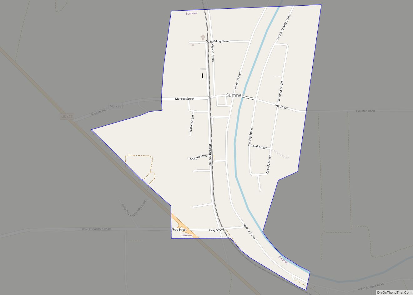
Sumner Road Map
Sumner city Satellite Map
Geography
Sumner is located at 33°58′12″N 90°22′11″W / 33.97000°N 90.36972°W / 33.97000; -90.36972 (33.969867, -90.369636).
According to the United States Census Bureau, the town has a total area of 0.6 square miles (1.6 km), all land.
See also
Map of Mississippi State and its subdivision:- Adams
- Alcorn
- Amite
- Attala
- Benton
- Bolivar
- Calhoun
- Carroll
- Chickasaw
- Choctaw
- Claiborne
- Clarke
- Clay
- Coahoma
- Copiah
- Covington
- Desoto
- Forrest
- Franklin
- George
- Greene
- Grenada
- Hancock
- Harrison
- Hinds
- Holmes
- Humphreys
- Issaquena
- Itawamba
- Jackson
- Jasper
- Jefferson
- Jefferson Davis
- Jones
- Kemper
- Lafayette
- Lamar
- Lauderdale
- Lawrence
- Leake
- Lee
- Leflore
- Lincoln
- Lowndes
- Madison
- Marion
- Marshall
- Monroe
- Montgomery
- Neshoba
- Newton
- Noxubee
- Oktibbeha
- Panola
- Pearl River
- Perry
- Pike
- Pontotoc
- Prentiss
- Quitman
- Rankin
- Scott
- Sharkey
- Simpson
- Smith
- Stone
- Sunflower
- Tallahatchie
- Tate
- Tippah
- Tishomingo
- Tunica
- Union
- Walthall
- Warren
- Washington
- Wayne
- Webster
- Wilkinson
- Winston
- Yalobusha
- Yazoo
- Alabama
- Alaska
- Arizona
- Arkansas
- California
- Colorado
- Connecticut
- Delaware
- District of Columbia
- Florida
- Georgia
- Hawaii
- Idaho
- Illinois
- Indiana
- Iowa
- Kansas
- Kentucky
- Louisiana
- Maine
- Maryland
- Massachusetts
- Michigan
- Minnesota
- Mississippi
- Missouri
- Montana
- Nebraska
- Nevada
- New Hampshire
- New Jersey
- New Mexico
- New York
- North Carolina
- North Dakota
- Ohio
- Oklahoma
- Oregon
- Pennsylvania
- Rhode Island
- South Carolina
- South Dakota
- Tennessee
- Texas
- Utah
- Vermont
- Virginia
- Washington
- West Virginia
- Wisconsin
- Wyoming
