Garfield is a city in Bergen County in the U.S. state of New Jersey. As of the 2020 United States census, the city’s population was 32,655, an increase of 2,168 (+7.1%) from the 2010 census count of 30,487, which in turn reflected an increase of 701 (+2.4%) from the 29,786 counted in the 2000 census.
| Name: | Garfield city |
|---|---|
| LSAD Code: | 25 |
| LSAD Description: | city (suffix) |
| State: | New Jersey |
| County: | Bergen County |
| Incorporated: | March 15, 1898 (as Borough) April 19, 1917 (as City) |
| Elevation: | 98 ft (30 m) |
| Total Area: | 2.19 sq mi (5.67 km²) |
| Land Area: | 2.11 sq mi (5.47 km²) |
| Water Area: | 0.08 sq mi (0.21 km²) 3.65% |
| Total Population: | 32,655 |
| Population Density: | 15,469.0/sq mi (5,972.6/km²) |
| ZIP code: | 07026 |
| Area code: | 973 |
| FIPS code: | 3425770 |
| GNISfeature ID: | 0876557 |
| Website: | www.garfieldnj.org |
Online Interactive Map
Click on ![]() to view map in "full screen" mode.
to view map in "full screen" mode.
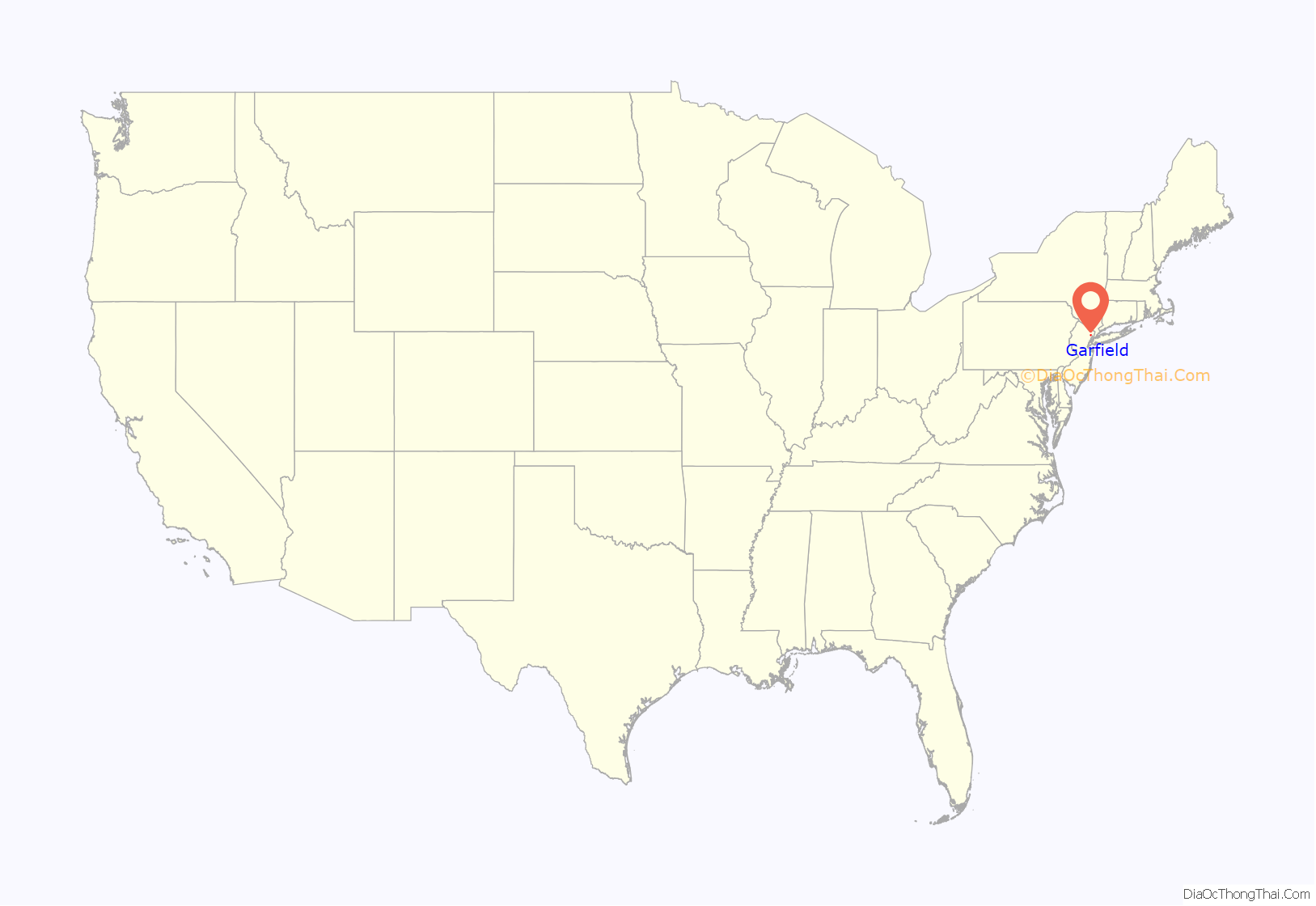
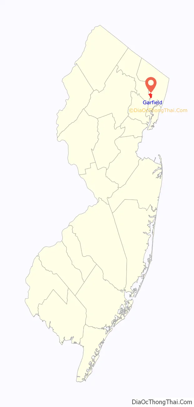
Garfield location map. Where is Garfield city?
History
Long the home of the Lenape, Native Americans, European settlement in the area that would become Garfield dates back to 1679, when Jacques Cortelyou acquired more than 5,000 acres (2,000 ha) of land surrounding the Passaic River known as “Acqueyquinonke”, that ran from the Saddle River to present day Glen Rock.
When the area that is now Garfield was first developed in 1873 with an initial group of seven homes constructed by Gilbert D. Bogart, it was known as East Passaic.
In 1881, the community’s name was changed to Garfield in honor of President of the United States James Garfield. There are two explanations given for the circumstances behind the renaming. According to one, shortly after Garfield was elected to the presidency the founder of East Passaic said, “tell everyone…don’t speak of East Passaic anymore; call it ‘Garfield’ after the man who will lead this great country to prosperity.” Seven months later, President Garfield was assassinated but his name remained with the community. The second theory holds that after Garfield’s death in 1881, a new train station was named in his honor, which in turn led to the surrounding area becoming associated with his name as well.
Garfield was originally incorporated as a borough on March 15, 1898, from portions of Saddle River Township and Wallington. At the time, the New Jersey Legislature set Garfield’s boundaries as they exist today. On April 19, 1917, the borough became the City of Garfield, based on the results of a referendum held two days earlier.
Garfield Road Map
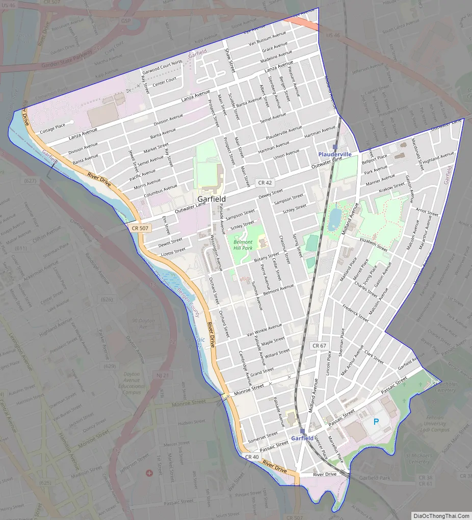
Garfield city Satellite Map

Geography
According to the United States Census Bureau, the city had a total area of 2.19 square miles (5.67 km), including 2.11 square miles (5.47 km) of land and 0.08 square miles (0.21 km) of water (3.65%).
Unincorporated communities, localities and place names located partially or completely within the township include Belmont, Bogart Heights, Dundee Dam and Plauderville.
The city has land borders with adjacent Elmwood Park, Lodi, Saddle Brook and South Hackensack. The Saddle River is a shared border with Wallington. There are three bridges over the Passaic River crossing the municipal and county line to Passaic and Clifton in Passaic County.
Environment
The United States Environmental Protection Agency has identified Garfield as the site of groundwater contaminated hexavalent chromium from a spill in 1983 at the E.C. Electroplating Corporation site. In 2016, the EPA announced a $37 million project to cleanup contamination at the site using Superfund money, as the company responsible for the spill of 3,600 US gallons (14,000 L; 3,000 imp gal) of chromic acid is no longer in business.
See also
Map of New Jersey State and its subdivision: Map of other states:- Alabama
- Alaska
- Arizona
- Arkansas
- California
- Colorado
- Connecticut
- Delaware
- District of Columbia
- Florida
- Georgia
- Hawaii
- Idaho
- Illinois
- Indiana
- Iowa
- Kansas
- Kentucky
- Louisiana
- Maine
- Maryland
- Massachusetts
- Michigan
- Minnesota
- Mississippi
- Missouri
- Montana
- Nebraska
- Nevada
- New Hampshire
- New Jersey
- New Mexico
- New York
- North Carolina
- North Dakota
- Ohio
- Oklahoma
- Oregon
- Pennsylvania
- Rhode Island
- South Carolina
- South Dakota
- Tennessee
- Texas
- Utah
- Vermont
- Virginia
- Washington
- West Virginia
- Wisconsin
- Wyoming


