Strathmere is an unincorporated community and census-designated place (CDP) located within Upper Township in Cape May County, New Jersey, United States. As of the 2020 United States census, the CDP’s population was 137, a decrease of 21 (−13.3%) from the 158 counted at the 2010 U.S. census, which reflected a decrease of 17 (−9.7%) from the 175 enumerated at the 2000 census.
With its beaches in the Strathmere section, Upper Township is one of five municipalities in the state that offer free public access to oceanfront beaches monitored by lifeguards, joining Atlantic City, North Wildwood, Wildwood, and Wildwood Crest.
| Name: | Strathmere CDP |
|---|---|
| LSAD Code: | 57 |
| LSAD Description: | CDP (suffix) |
| State: | New Jersey |
| County: | Cape May County |
| Elevation: | 3 ft (1 m) |
| Total Area: | 0.76 sq mi (1.96 km²) |
| Land Area: | 0.53 sq mi (1.36 km²) |
| Water Area: | 0.23 sq mi (0.60 km²) 21.29% |
| Total Population: | 137 |
| Population Density: | 258.5/sq mi (99.8/km²) |
| ZIP code: | 08248 |
| Area code: | 609 |
| FIPS code: | 3471250 |
| GNISfeature ID: | 02390365 |
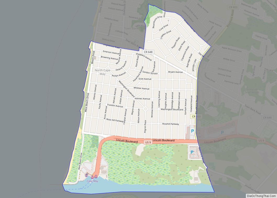
Online Interactive Map
Click on ![]() to view map in "full screen" mode.
to view map in "full screen" mode.
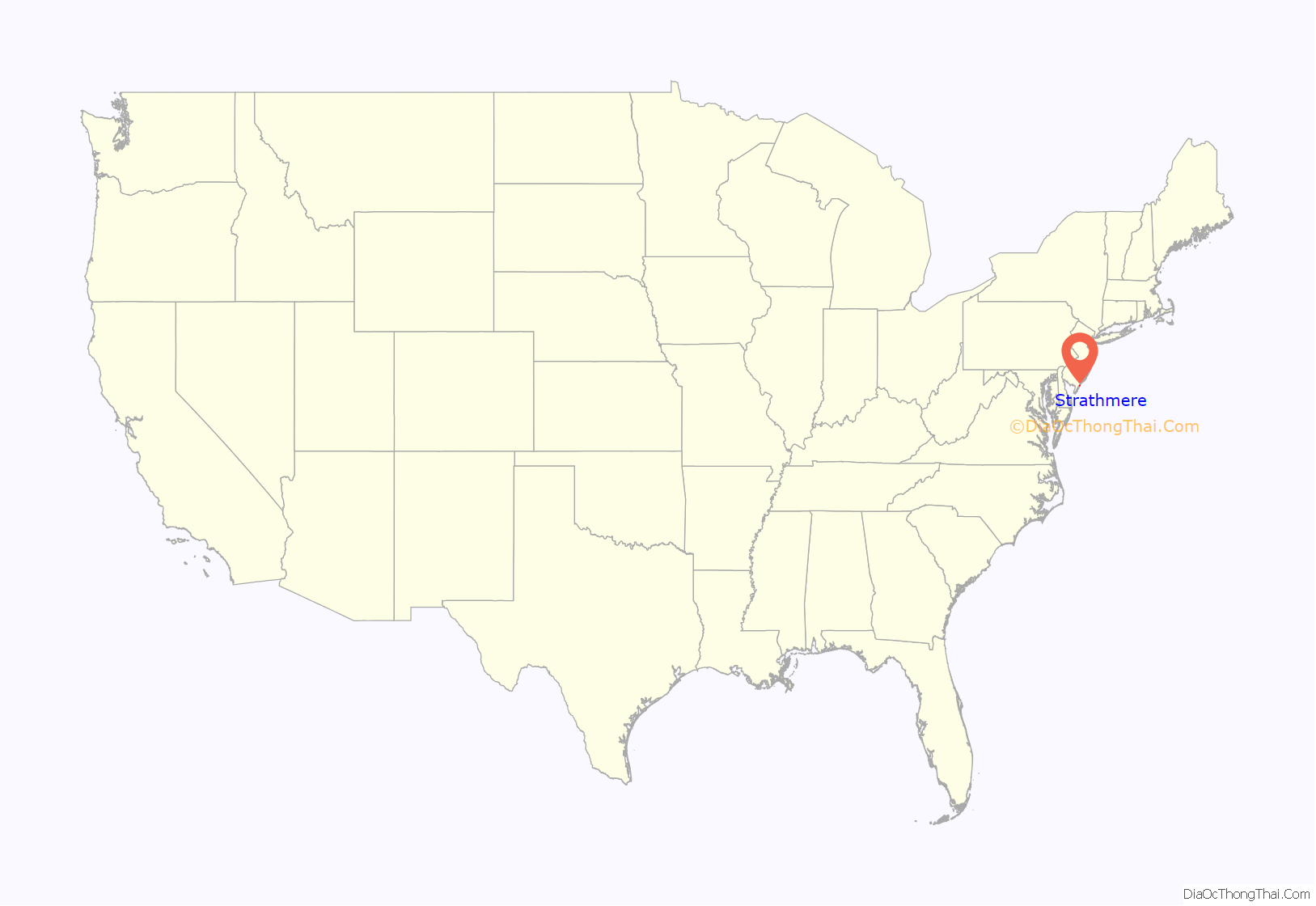
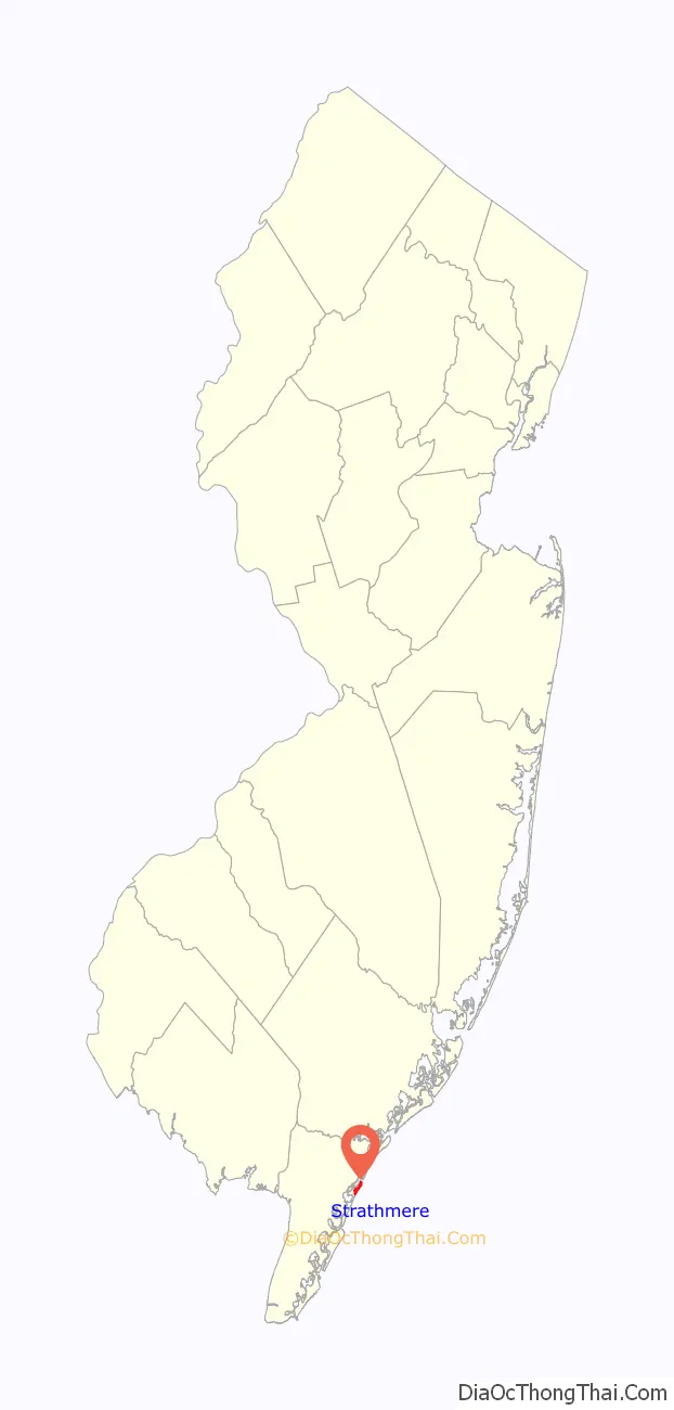
Strathmere location map. Where is Strathmere CDP?
History
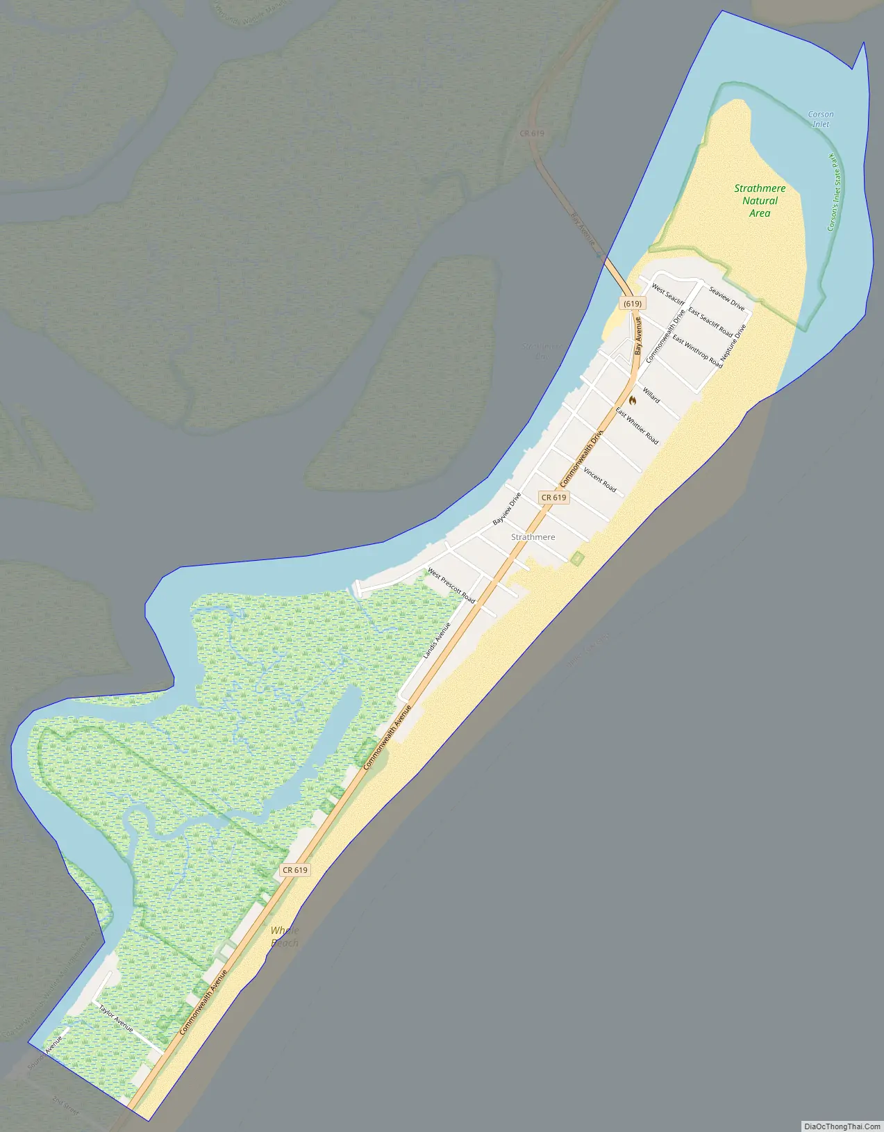
The earliest known people on Ludlam Island (where Strathmere is located) were the Lenape Native Americans, who came to the island in the summertime to hunt fish and crustaceans. Along the northern 1.5 mi (2.4 km) portion of the island was a community named Corson’s Inlet, after the waterway separating the island and Ocean City to the north. A part of Upper Township and Dennis Township became a part of neighboring Sea Isle City in 1905, also on Ludlam Island. That same year, Sea Isle City sold Corson’s Inlet to Upper Township for $31,500 (equivalent to $950,000 in 2021) to pay off municipal debt. In 1912, the community of Corson’s Inlet was renamed Strathmere.
The Whale Beach section of Strathmere got its name from the whales that would periodically beach themselves there.
In 2007, Citizens for Strathmere and Whale Beach petitioned to leave Upper Township and join neighboring Sea Isle City, citing an unfair tax burden, inadequate municipal services, and a lengthy wait time for the police. The local planning board held 18 meetings over the next two years, and the township recommended against de-annexation in 2009, noting that taxes would increase school taxes by 20% for the remainder of Upper Township. The group in favor of de-annexation filed a suit with the New Jersey Superior Court, which ruled against the petition in 2010. An appeal to the New Jersey Supreme Court was denied in January 2013.
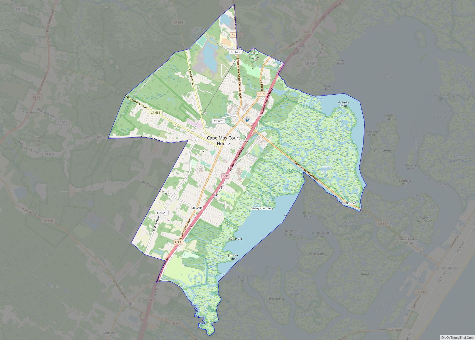
Strathmere Road Map
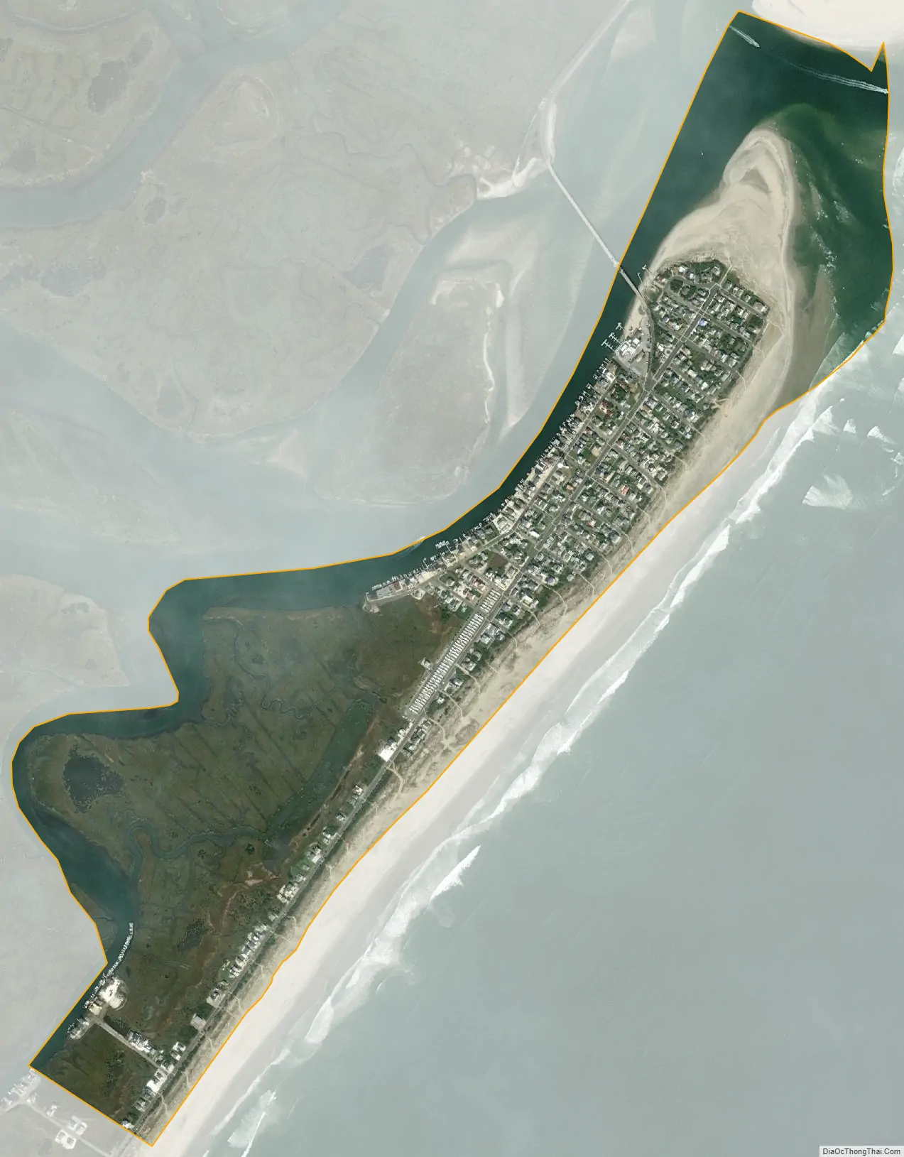
Strathmere city Satellite Map
Geography
According to the United States Census Bureau, the CDP had a total area of 0.760 square miles (1.968 km), including 0.598 square miles (1.549 km) of land and 0.162 square miles (0.419 km) of water (21.29%).
See also
Map of New Jersey State and its subdivision: Map of other states:- Alabama
- Alaska
- Arizona
- Arkansas
- California
- Colorado
- Connecticut
- Delaware
- District of Columbia
- Florida
- Georgia
- Hawaii
- Idaho
- Illinois
- Indiana
- Iowa
- Kansas
- Kentucky
- Louisiana
- Maine
- Maryland
- Massachusetts
- Michigan
- Minnesota
- Mississippi
- Missouri
- Montana
- Nebraska
- Nevada
- New Hampshire
- New Jersey
- New Mexico
- New York
- North Carolina
- North Dakota
- Ohio
- Oklahoma
- Oregon
- Pennsylvania
- Rhode Island
- South Carolina
- South Dakota
- Tennessee
- Texas
- Utah
- Vermont
- Virginia
- Washington
- West Virginia
- Wisconsin
- Wyoming