Sea Isle City is a city in Cape May County, in the U.S. state of New Jersey. The city, and all of Cape May County, is part of the South Jersey region of the state and of the Ocean City metropolitan statistical area, and is part of the Philadelphia–Wilmington–Camden, PA-NJ-DE–MD combined statistical area, also known as the Delaware Valley or Philadelphia metropolitan area. As of the 2020 United States census, the city’s year-round population was 2,104, a decrease of 10 (−0.5%) from the 2010 census count of 2,114, which in turn reflected a decline of 721 (−25.4%) from the 2,835 counted in the 2000 census. Visitors raise the population to as much as 40,000 during the peak summer season from Memorial Day to Labor Day. Sea Isle City is located on Ludlam Island, which also contains the Strathmere section of Upper Township.
Sea Isle City was originally incorporated as a borough on May 22, 1882, from portions of Dennis Township, based on the results of a referendum held six days earlier. The borough was reincorporated on March 31, 1890. In March 1907, portions of Dennis Township and Upper Township were annexed to Sea Isle City. In April 1905, portions of Sea Isle City were annexed to Upper Township. On April 30, 1907, the area was reincorporated as the City of Sea Isle City, based on the results of a referendum held on April 20, 1907. The name derives from its location on the Atlantic Ocean.
| Name: | Sea Isle City city |
|---|---|
| LSAD Code: | 25 |
| LSAD Description: | city (suffix) |
| State: | New Jersey |
| County: | Cape May County |
| Incorporated: | May 22, 1882 |
| Elevation: | 7 ft (2 m) |
| Total Area: | 2.75 sq mi (7.13 km²) |
| Land Area: | 2.20 sq mi (5.71 km²) |
| Water Area: | 0.55 sq mi (1.42 km²) 19.93% |
| Total Population: | 2,104 |
| Population Density: | 954.5/sq mi (368.5/km²) |
| ZIP code: | 08243 |
| Area code: | 609 exchanges: 263, 427, 861 |
| FIPS code: | 3466390 |
| GNISfeature ID: | 0885389 |
| Website: | www.seaislecitynj.us |
Online Interactive Map
Click on ![]() to view map in "full screen" mode.
to view map in "full screen" mode.
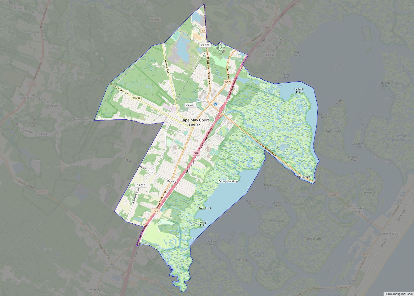
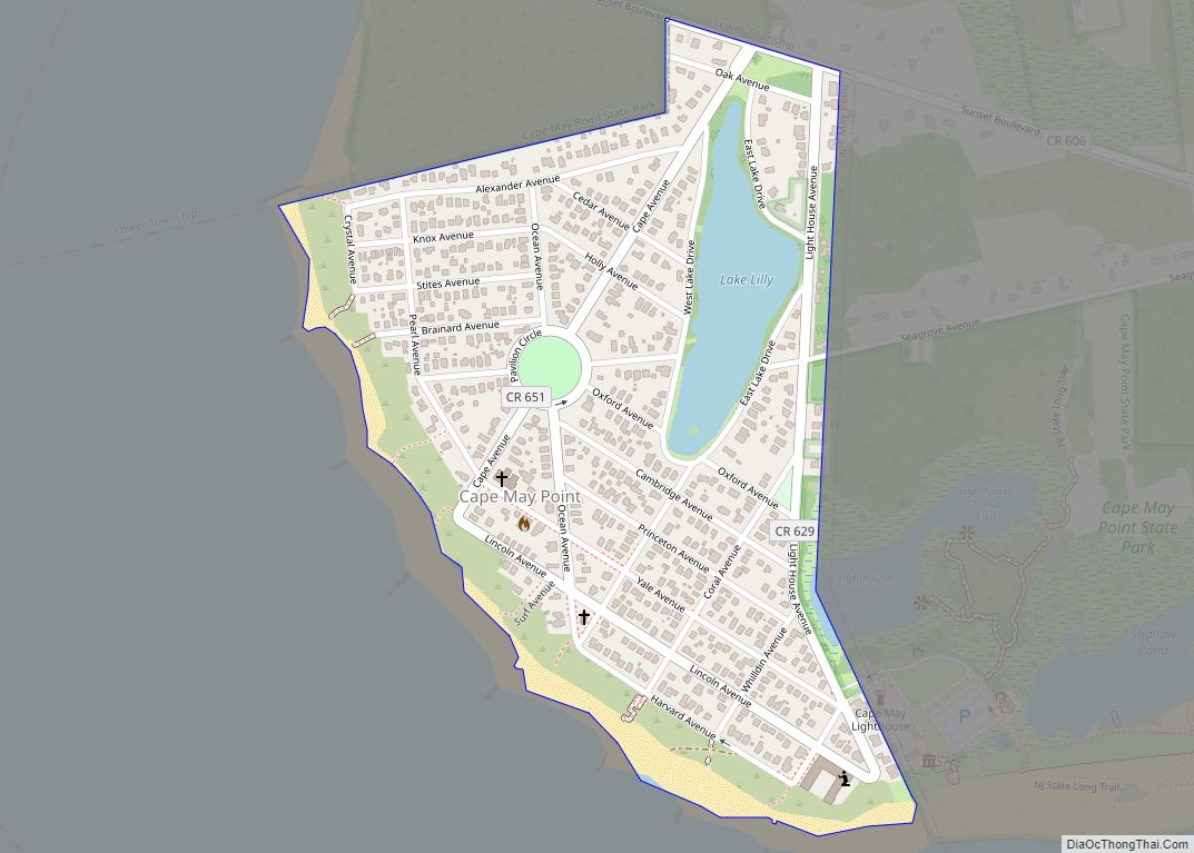
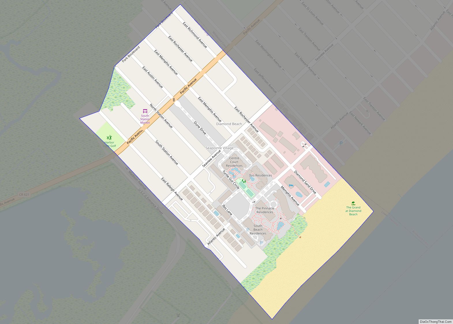
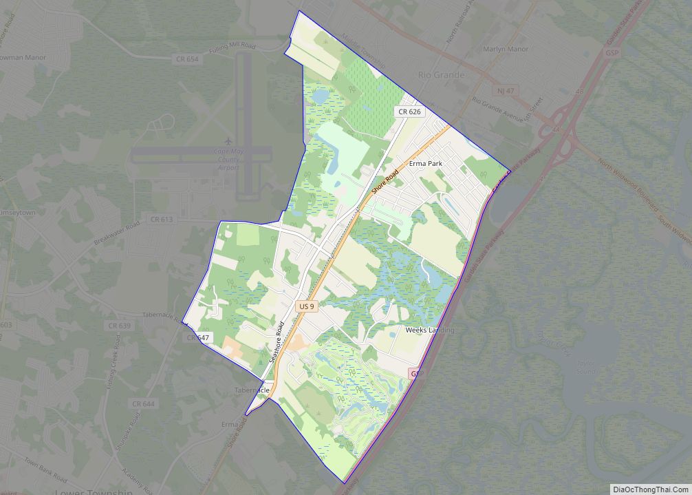
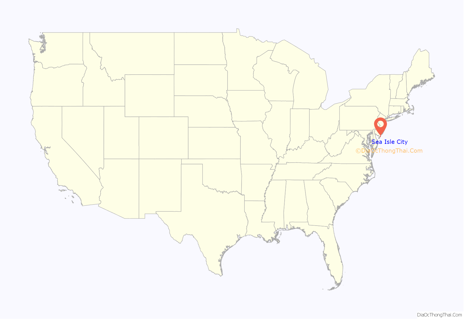
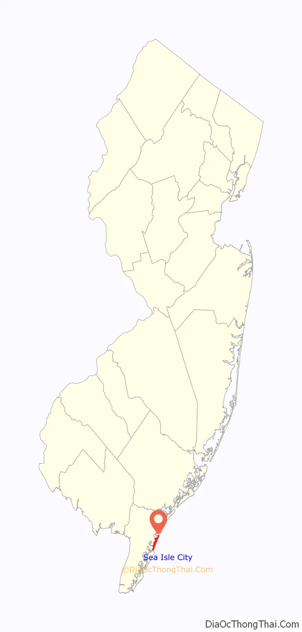
Sea Isle City location map. Where is Sea Isle City city?
History
Sea Isle City was founded in 1882 by Charles K. Landis, who was also the founder of Vineland, New Jersey. The main street in town, Landis Avenue, is named for its founder. The oldest building in Sea Isle City is The Colonnade Inn, a Victorian building dating back to the 1800s. From 1885 until 1924, Sea Isle City was the location of Ludlam’s Beach Lighthouse. The structure was moved to the corner of Landis Avenue and 35th Street (3414 Landis Avenue), and was a private residence (offered for rental) for many years. A non-profit group, The Friends of the Ludlam Beach Lighthouse, was unsuccessful in its efforts to raise enough money to save the building from demolition by moving it to a new location and restoring it. It was demolished on September 21, 2010, to make way for new town homes.
The oil tanker MV Sea Isle City was renamed for this city when it was reflagged and registered in the United States in 1987 during Operation Earnest Will. It was struck by a Silkworm missile off Kuwait on October 16, 1987, wounding 18 crew members and seriously damaging the ship.
Coastal storms
There have been many hurricanes and huge storms that have hit the small island of Sea Isle City, New Jersey. The storms of the 1890s, 1920s, and the 1944 Great Atlantic Hurricane have been some of the worst natural disasters to hit the coast of New Jersey. The Ash Wednesday Storm of 1962, a major Nor’easter that hit on March 6, 1962, tops all other storms that have hit the area in the recent past, with three days of continuous rain. Many people evacuated in time to save their lives, but came back to find their homes and assets destroyed. Eventually, the only way out of town was the causeway, and when that flooded, rescuers had to use helicopters to evacuate the rest of the town. It was categorized as a “100-year storm,” in which almost every beachfront home or property was destroyed or damaged.
About a week later when the storm had subsided, Sea Isle City citizens moved back into their homes and began the needed revisions. As a result of the storm, a “dune line” was formed, and this caused beachfront businesses and homes to move back from the shoreline an average of one block.
Tourism
Sea Isle City has long been popular with summer visitors. In 2002, the printed message on its signature water tower was changed from “Welcome to Sea Isle City” to “Smile! You’re in Sea Isle City”. The word “City” was later removed from the message in 2018.
The “Sara the Turtle Festival” is one of the city’s annual festivals, celebrating a fictional turtle named Sara. Aimed towards families with young children, the festival features live animal exhibits and face painting meant to educate children about the local environment. The city hosts a Polar bear plunge every February, holding the 25th annual event in 2019, featuring many participants dressed in costume.
In 1999, the city’s only amusement park, Fun City, was closed and the land was sold for development of beach homes. In 2009, a new amusement park called Gillian’s Funland was opened on JFK Boulevard by the bay as a public-private venture between Sea Isle City and neighboring Ocean City mayor Jay Gillian. Funland was permanently removed, however, following the 2013 summer season for financial reasons in part due to losses from Hurricane Sandy.
In 2011, Sea Isle City began a $14 million makeover to create a public corridor from the bay to the ocean. Plans included a new boathouse on the marina, installing a new playground and basketball courts on JFK Boulevard and erecting a pavilion and band shell at Excursion Park on the city’s Promenade overlooking the Atlantic Ocean. Sea Isle City became one of the first municipalities in New Jersey, along with Salem and Egg Harbor City, to implement LED streetlights powered solely by wind and solar energy. The lights were installed at the Promenade at JFK Boulevard by the South Jersey Economic Development District and the New Jersey Institute of Technology.
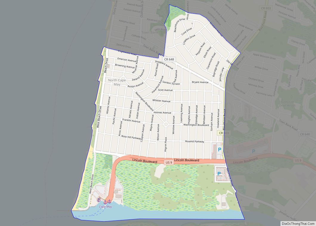
Sea Isle City Road Map
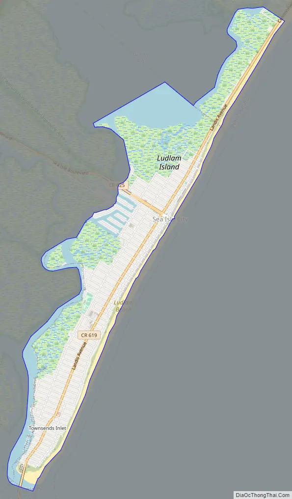
Sea Isle City city Satellite Map
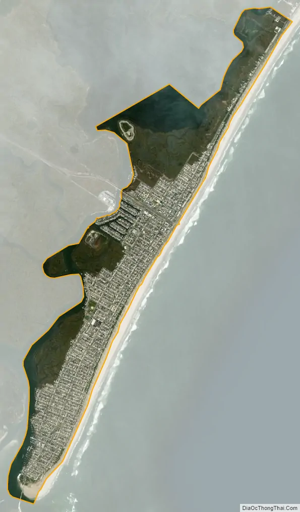
Geography
According to the United States Census Bureau, the city had a total area of 2.75 square miles (7.13 km), including 2.20 square miles (5.71 km) of land and 0.55 square miles (1.42 km) of water (19.93%).
Sea Isle City is a beach town with most of its housing used for vacation rentals and second homes. It has a 1.5-mile (2.4 km) beachfront promenade starting at 29th Street and ending on 57th street and several arcades, shops, restaurants and bars in the center of town. The epicenter of the town is John F. Kennedy Blvd. (41st Street).
Sea Isle is not an “island city” as it shares its land on Ludlam Island with Strathmere, which is part of Upper Township. Neighboring Ocean City, however, is an island city as it includes the entire island.
Unincorporated communities, localities and place names located partially or completely within the city include Ludlam Beach and Townsends Inlet (located at the south end of Ludlam Island).
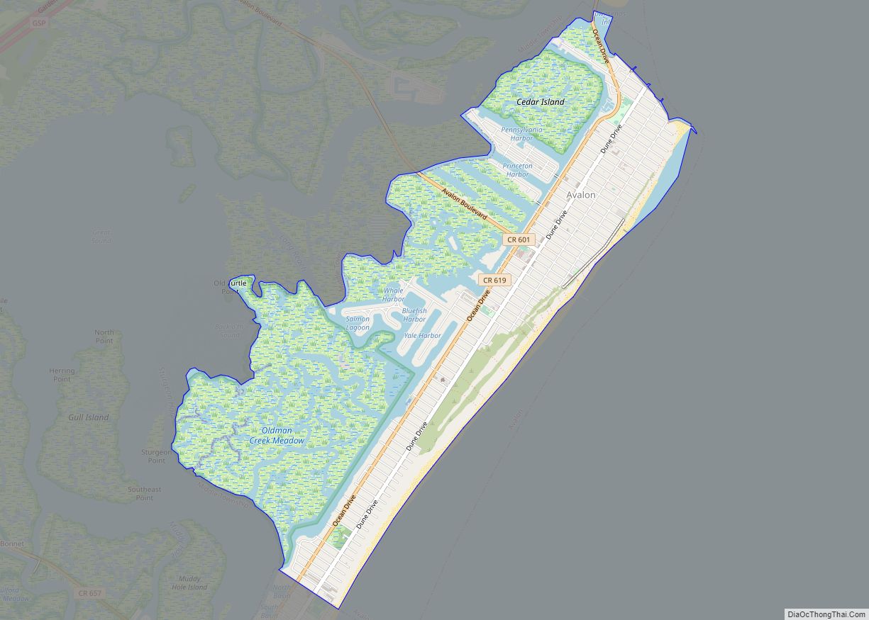
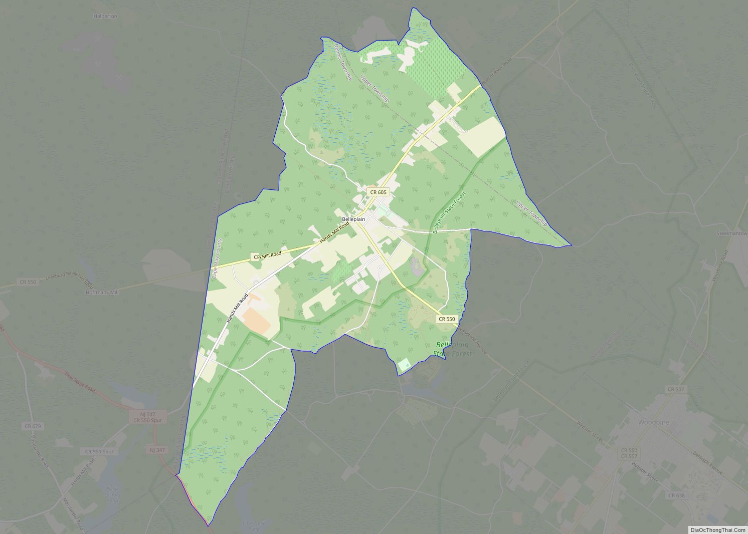
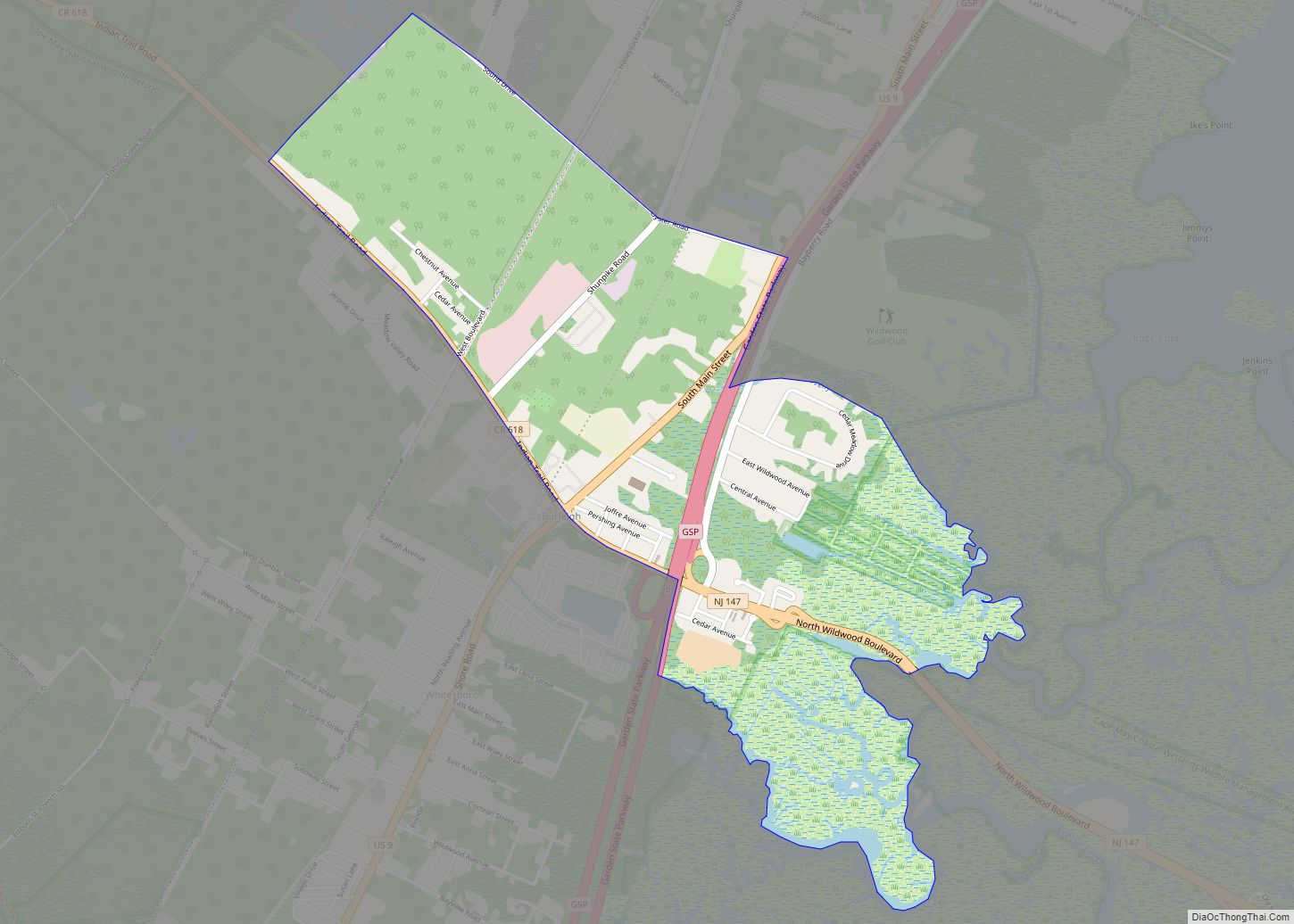
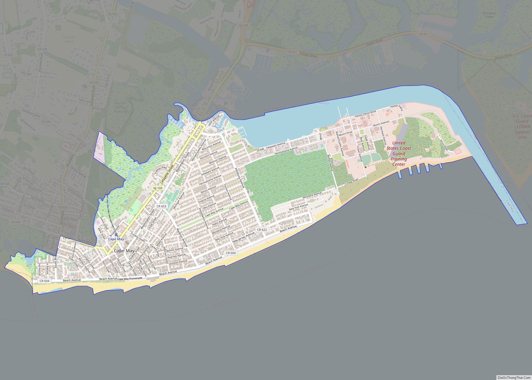
Sea Isle City borders Avalon Borough, Dennis Township, Middle Township and Upper Township, along with the Atlantic Ocean.
See also
Map of New Jersey State and its subdivision: Map of other states:- Alabama
- Alaska
- Arizona
- Arkansas
- California
- Colorado
- Connecticut
- Delaware
- District of Columbia
- Florida
- Georgia
- Hawaii
- Idaho
- Illinois
- Indiana
- Iowa
- Kansas
- Kentucky
- Louisiana
- Maine
- Maryland
- Massachusetts
- Michigan
- Minnesota
- Mississippi
- Missouri
- Montana
- Nebraska
- Nevada
- New Hampshire
- New Jersey
- New Mexico
- New York
- North Carolina
- North Dakota
- Ohio
- Oklahoma
- Oregon
- Pennsylvania
- Rhode Island
- South Carolina
- South Dakota
- Tennessee
- Texas
- Utah
- Vermont
- Virginia
- Washington
- West Virginia
- Wisconsin
- Wyoming