Wood-Ridge is a borough in Bergen County, in the U.S. state of New Jersey. As of the 2020 United States census, the borough’s population was 10,137, an increase of 2,511 (+32.9%) from the 2010 census count of 7,626, which in turn reflected a decline of 18 (-0.2%) from the 7,644 counted in the 2000 census.
Wood-Ridge was incorporated as a borough by an act of the New Jersey Legislature on December 6, 1894, from portions of Bergen Township, based on the results of a referendum held the previous day. The borough was formed during the “Boroughitis” phenomenon then sweeping through Bergen County, in which 26 boroughs were formed in the county in 1894 alone.
| Name: | Wood-Ridge borough |
|---|---|
| LSAD Code: | 21 |
| LSAD Description: | borough (suffix) |
| State: | New Jersey |
| County: | Bergen County |
| Incorporated: | December 6, 1894 |
| Elevation: | 167 ft (51 m) |
| Total Area: | 1.11 sq mi (2.89 km²) |
| Land Area: | 1.11 sq mi (2.88 km²) |
| Water Area: | 0.00 sq mi (0.00 km²) 0.09% |
| Total Population: | 10,137 |
| Population Density: | 9,099.6/sq mi (3,513.4/km²) |
| ZIP code: | 07075 |
| Area code: | 201 |
| FIPS code: | 3482570 |
| GNISfeature ID: | 0885451 |
| Website: | www.njwoodridge.org |
Online Interactive Map
Click on ![]() to view map in "full screen" mode.
to view map in "full screen" mode.
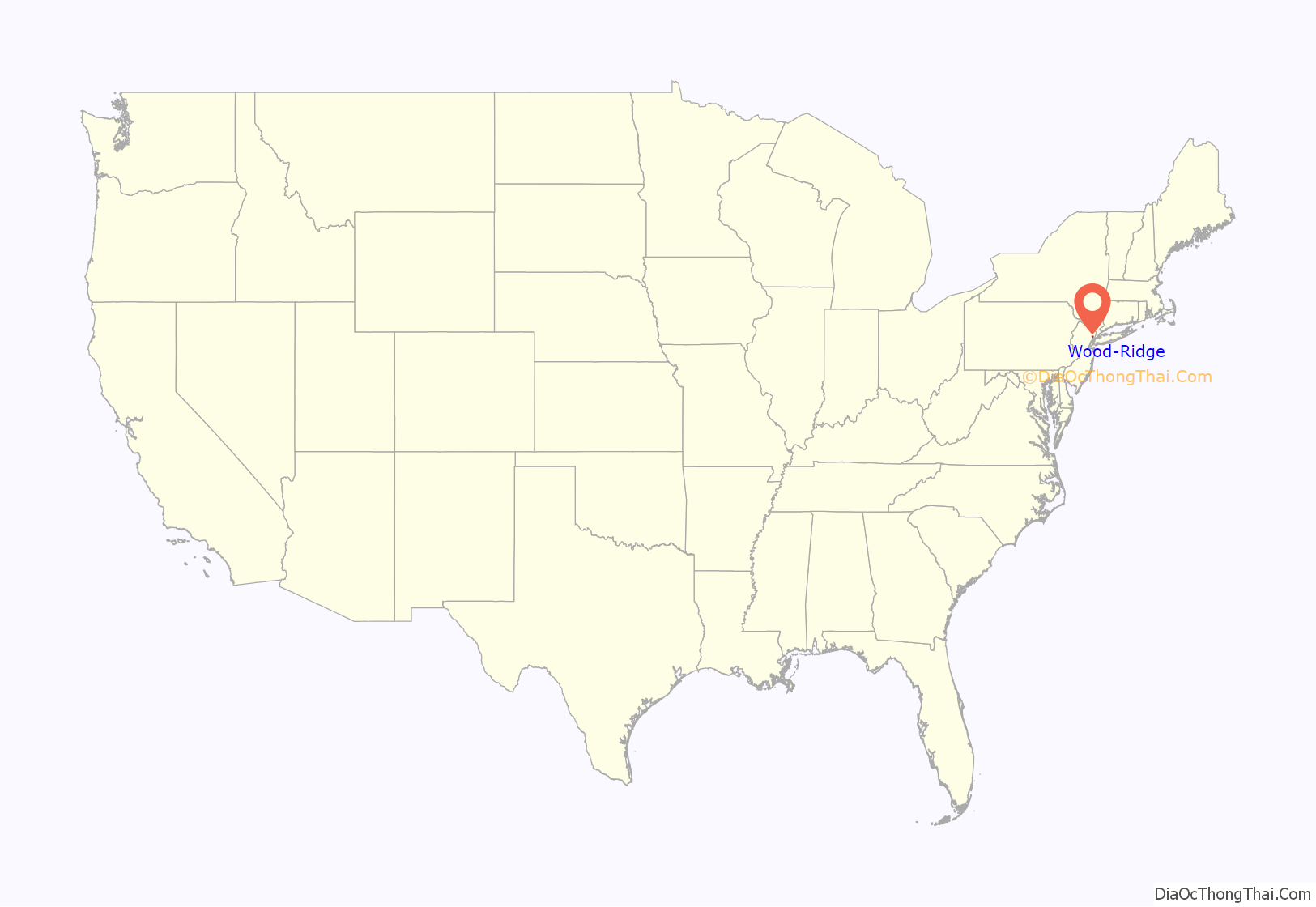
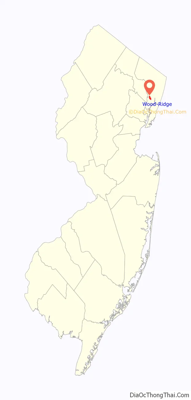
Wood-Ridge location map. Where is Wood-Ridge borough?
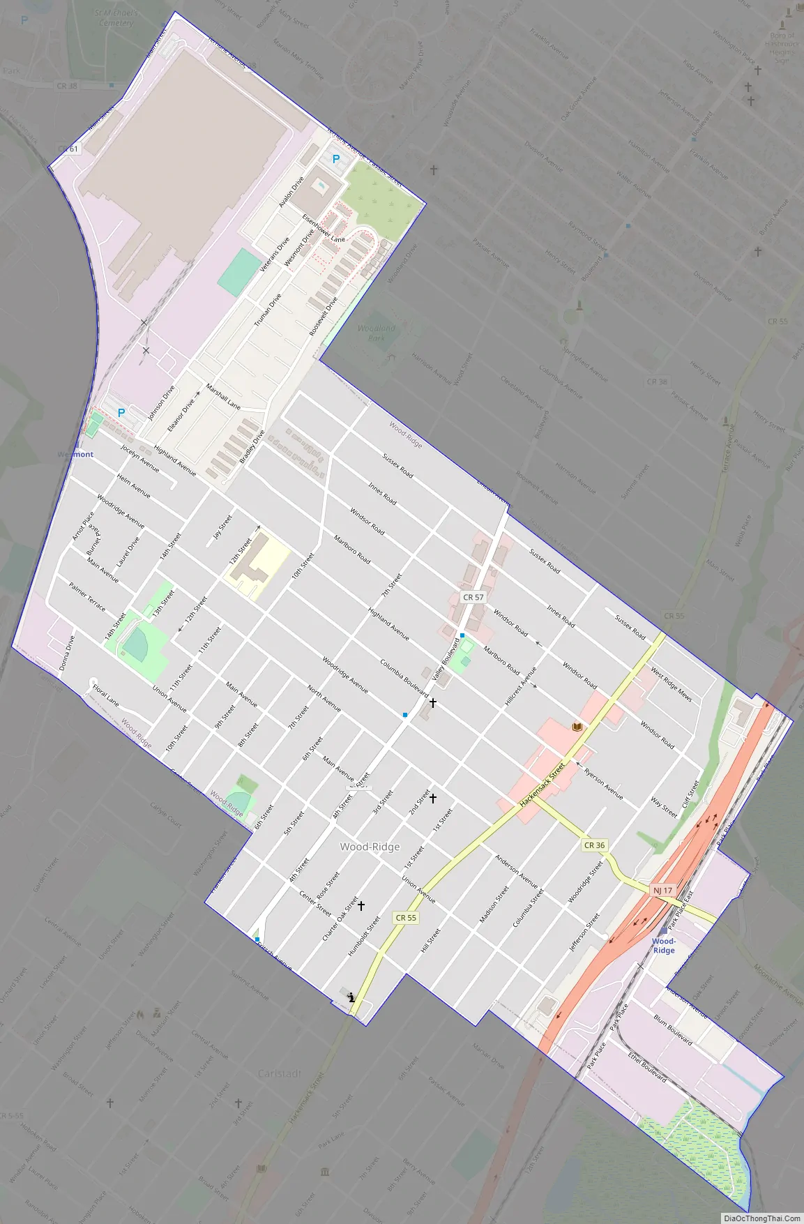
Wood-Ridge Road Map
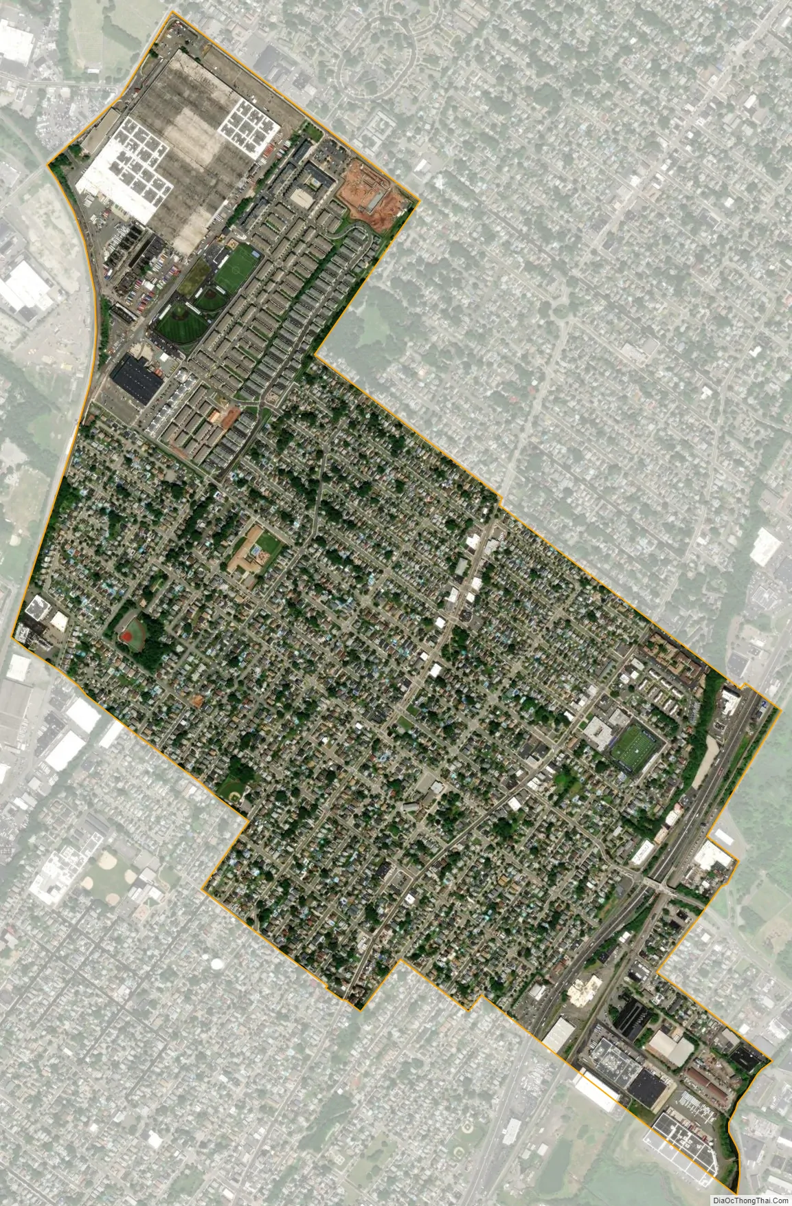
Wood-Ridge city Satellite Map
Geography
According to the United States Census Bureau, the borough had a total area of 1.12 square miles (2.89 km), including 1.11 square miles (2.88 km) of land and <0.01 square miles (<0.01 km) of water (0.09%).
The borough is bordered by the Bergen County municipalities of Hasbrouck Heights and Lodi to the north, Wallington to the west, Carlstadt to the south, and Moonachie to the east, along with South Hackensack.
See also
Map of New Jersey State and its subdivision: Map of other states:- Alabama
- Alaska
- Arizona
- Arkansas
- California
- Colorado
- Connecticut
- Delaware
- District of Columbia
- Florida
- Georgia
- Hawaii
- Idaho
- Illinois
- Indiana
- Iowa
- Kansas
- Kentucky
- Louisiana
- Maine
- Maryland
- Massachusetts
- Michigan
- Minnesota
- Mississippi
- Missouri
- Montana
- Nebraska
- Nevada
- New Hampshire
- New Jersey
- New Mexico
- New York
- North Carolina
- North Dakota
- Ohio
- Oklahoma
- Oregon
- Pennsylvania
- Rhode Island
- South Carolina
- South Dakota
- Tennessee
- Texas
- Utah
- Vermont
- Virginia
- Washington
- West Virginia
- Wisconsin
- Wyoming


