Lodi (/ˈloʊdaɪ/; LOH-dye) is a borough in Bergen County, in the U.S. state of New Jersey. As of the 2020 United States census, the borough’s population was 26,206, an increase of 2,070 (+8.6%) from the 2010 census count of 24,136, which in turn reflected an increase of 165 (+0.7%) from the 23,971 counted in the 2000 census.
Lodi owes its name to the Italian city of Lodi, Lombardy. It was incorporated as a borough on December 22, 1894, from portions of the now-defunct municipalities of Lodi Township (now South Hackensack) and Saddle River Township (now Saddle Brook), at the height of Bergen County’s “Boroughitis” phenomenon then sweeping through Bergen County, based on the results of a referendum held on the previous day.
| Name: | Lodi borough |
|---|---|
| LSAD Code: | 21 |
| LSAD Description: | borough (suffix) |
| State: | New Jersey |
| County: | Bergen County |
| Incorporated: | December 22, 1894 |
| Elevation: | 30 ft (9 m) |
| Total Area: | 2.29 sq mi (5.93 km²) |
| Land Area: | 2.27 sq mi (5.89 km²) |
| Water Area: | 0.02 sq mi (0.05 km²) 0.74% |
| Total Population: | 26,206 |
| Population Density: | 11,534.3/sq mi (4,453.4/km²) |
| ZIP code: | 07644 |
| Area code: | 201 and 973 |
| FIPS code: | 3441100 |
| GNISfeature ID: | 885284 |
| Website: | www.lodi-nj.org |
Online Interactive Map
Click on ![]() to view map in "full screen" mode.
to view map in "full screen" mode.
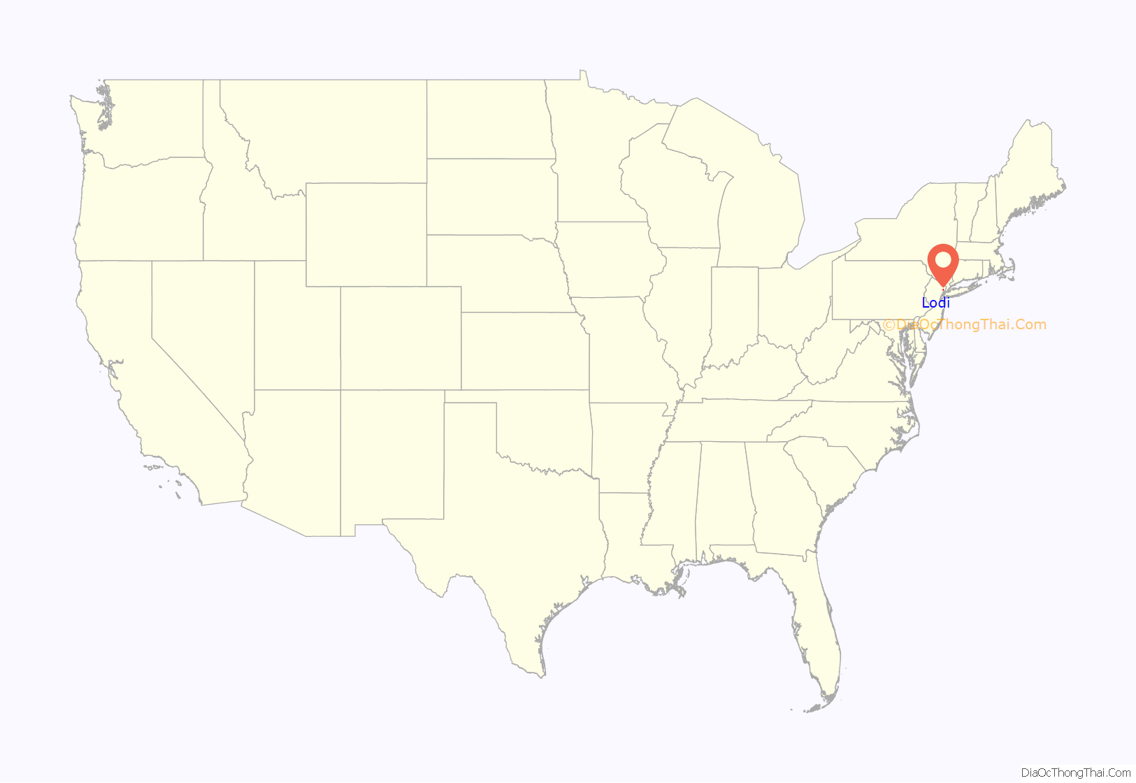
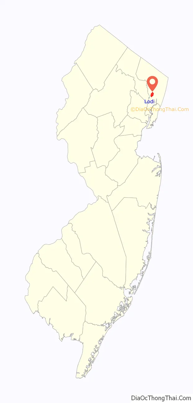
Lodi location map. Where is Lodi borough?
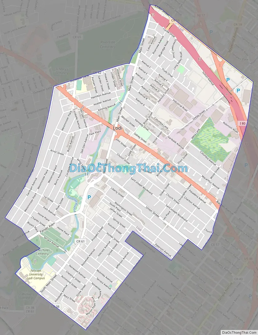
Lodi Road Map
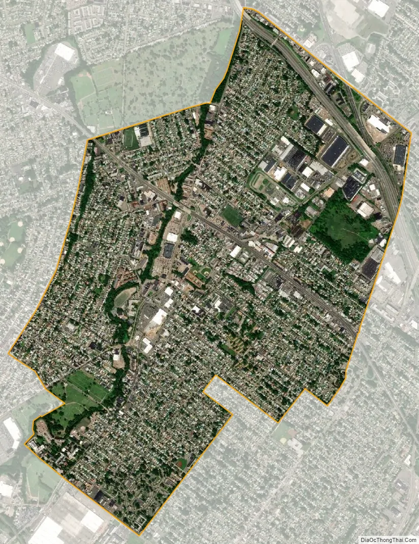
Lodi city Satellite Map
Geography
According to the United States Census Bureau, the borough had a total area of 2.29 square miles (5.93 km), including 2.27 square miles (5.89 km) of land and 0.02 square miles (0.05 km) of water (0.74%). Areas of the borough are prone to flooding during heavy rain.
The borough borders the Bergen County municipalities of Garfield, Hackensack, Hasbrouck Heights, Maywood, Rochelle Park, Saddle Brook, South Hackensack and Wood-Ridge.
See also
Map of New Jersey State and its subdivision: Map of other states:- Alabama
- Alaska
- Arizona
- Arkansas
- California
- Colorado
- Connecticut
- Delaware
- District of Columbia
- Florida
- Georgia
- Hawaii
- Idaho
- Illinois
- Indiana
- Iowa
- Kansas
- Kentucky
- Louisiana
- Maine
- Maryland
- Massachusetts
- Michigan
- Minnesota
- Mississippi
- Missouri
- Montana
- Nebraska
- Nevada
- New Hampshire
- New Jersey
- New Mexico
- New York
- North Carolina
- North Dakota
- Ohio
- Oklahoma
- Oregon
- Pennsylvania
- Rhode Island
- South Carolina
- South Dakota
- Tennessee
- Texas
- Utah
- Vermont
- Virginia
- Washington
- West Virginia
- Wisconsin
- Wyoming


